You are using an insecure version of your web browser. Please update your browser!
Using an outdated browser makes your computer unsafe. For a safer, faster, more enjoyable user experience, please update your browser today or try a newer browser.
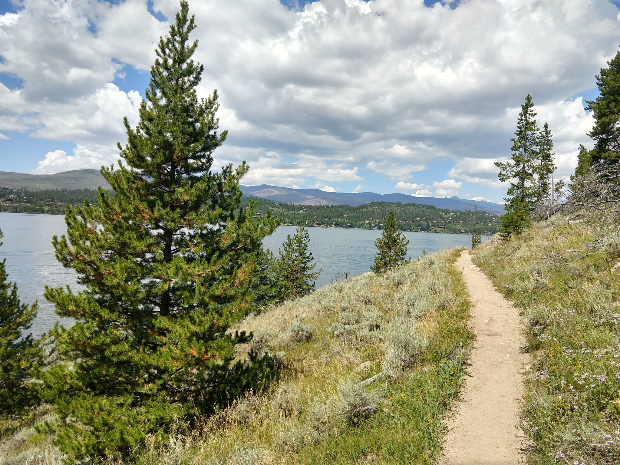
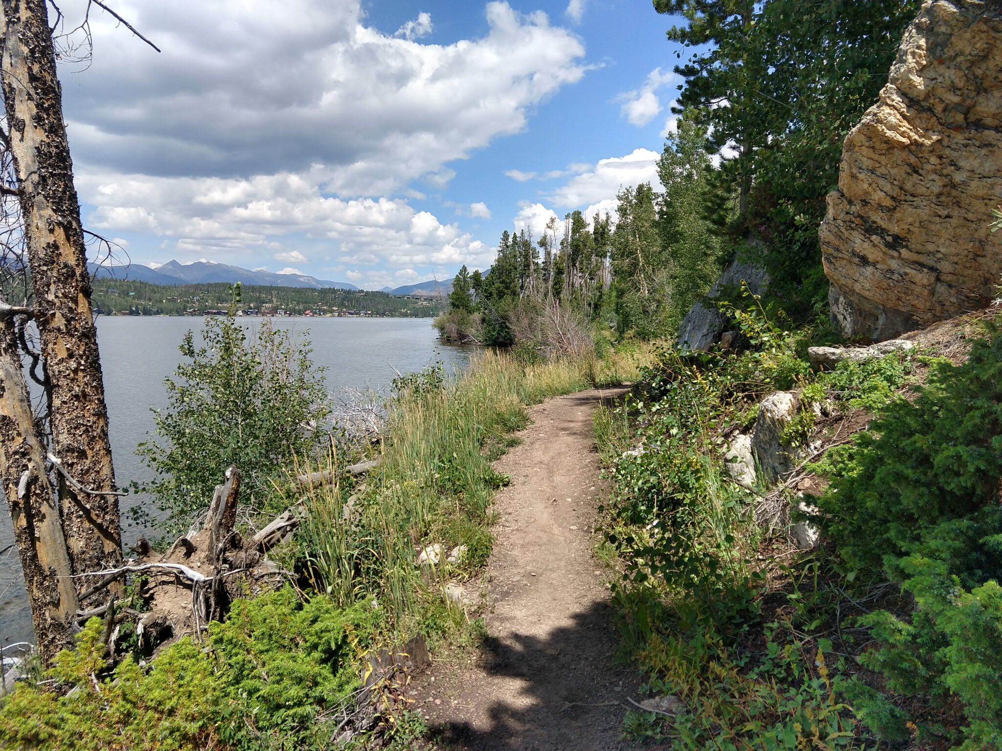
It was a nice flat hike and I didn’t really look at the map. Some of the trails were close, but we did get some exercise, even if Lina was walking slowly until she realized she really wanted to get to Ohana.
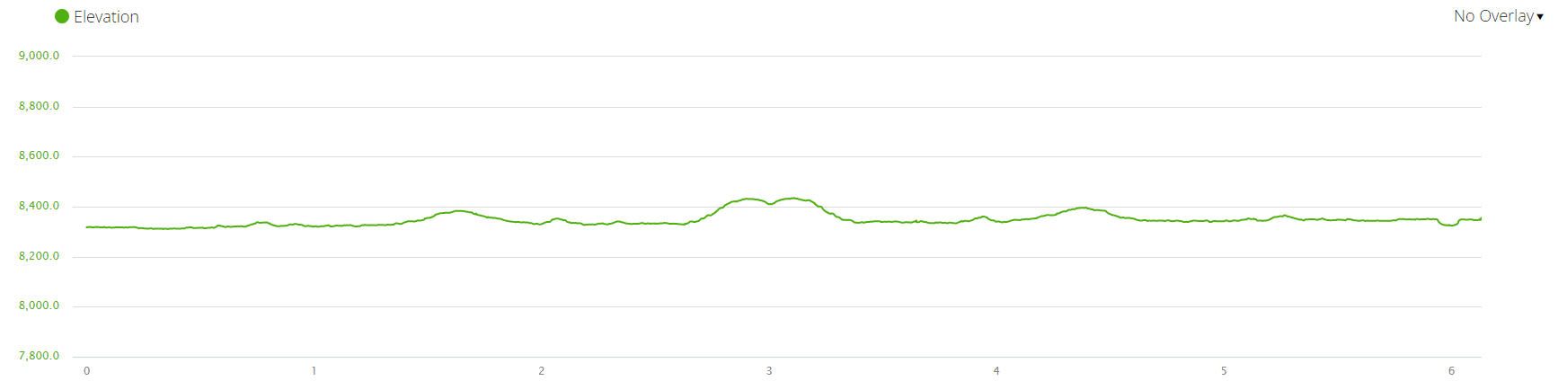
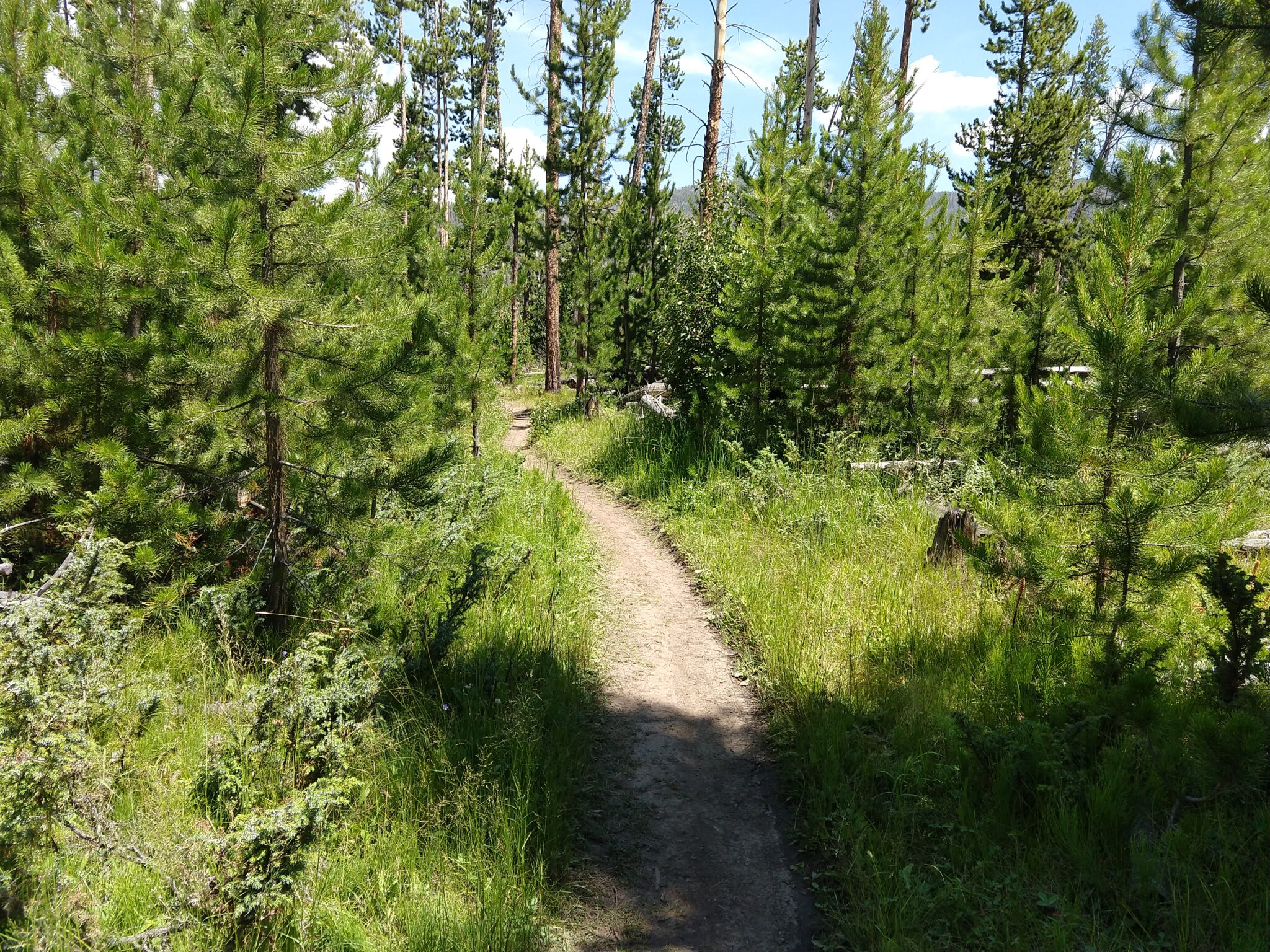
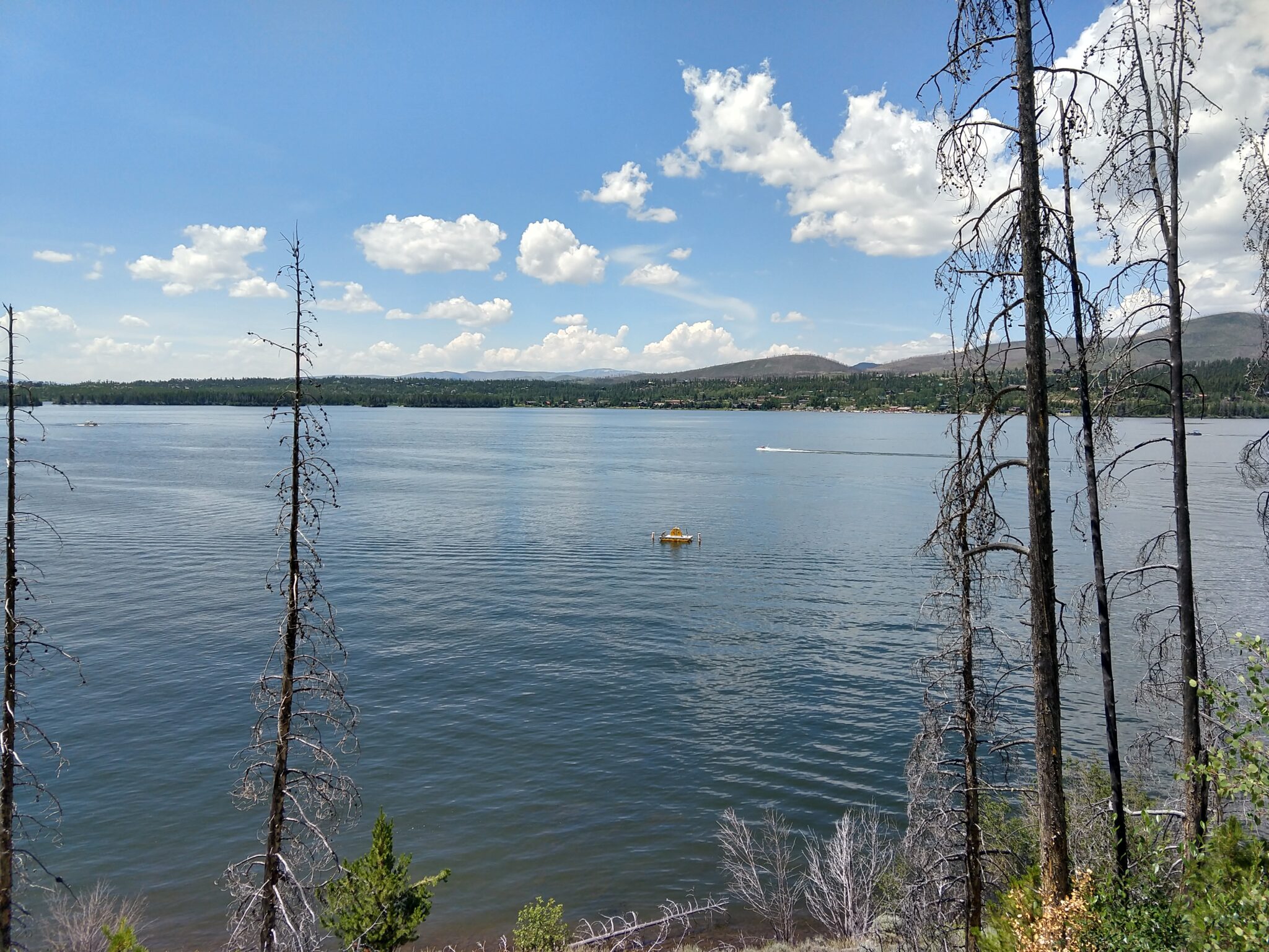
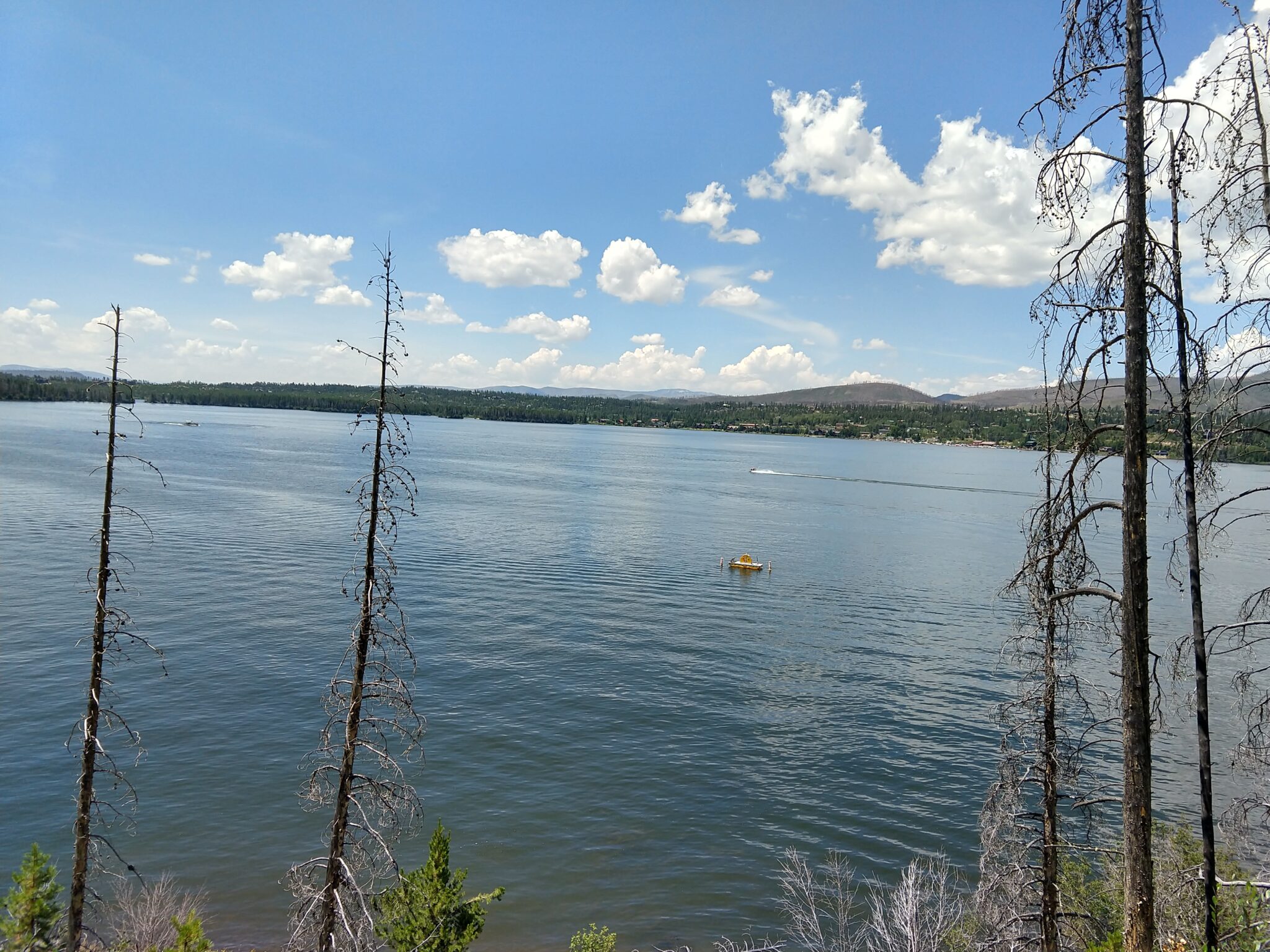
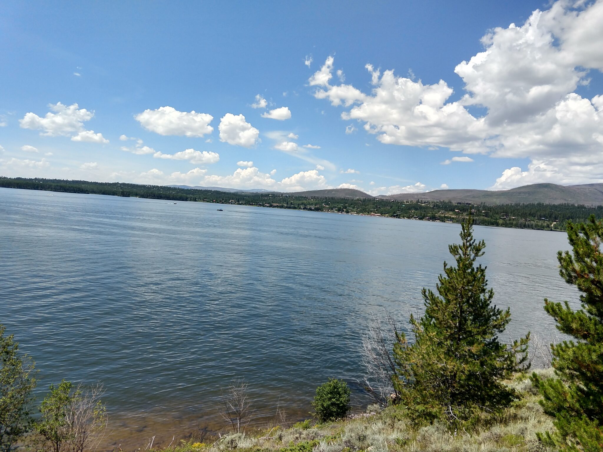
I wanted to go for a paddle and a hike. It turns out there are some trails right next to my paddling spot. This was a very easy hike along the Shadow Mountain Reservoir.
Now that I have a fancy new GPS, I decided to make some year-end summaries.
It turns out I’ve been using Garmin products since 2008. I was a little annoyed when I had to replace my super-expensive, high-end GPS watch last year because it was getting buggy, but I bought it in 2012. It almost lasted 10 years, which is pretty impressive for today’s products.
Here’s a summary of every activity I’ve recorded between Jan 2008 and 2021.
Distance (miles)
Time (hours)
Avg Hr (bpm)
Max Hr (bpm)
Ascent (ft)
Descent (ft)
Moving Time (Hours)
Min Elevation (ft)
max Elevation (ft)
All Time
2,888.93
643
218,091
214,651
-1,640
11,031
2008
549.33
102
53,062
53,752
2009
83.69
26
33,186
32,054
2010
396.07
33
13,074
11,084
2011
48.53
13
2,534
2,472
2012
835.19
39
6,651
5,797
2013
220.68
40
10,924
9,039
5,394
7,350
2014
35.19
9
3,396
3,330
5,500
5,732
2015
23.08
8
2,726
2,852
5,404
7,404
2016
47.44
14
4,626
4,609
1,744
8,149
2017
47.13
22
10,106
9,524
580
11,031
2018
34.53
14
6,660
6,404
11
-13
8,864
2019
127.41
48
17,598
17,397
43
399
8,436
2020
240.51
82
12,868
12,345
69
-225
6,749
2021
468.23
133
116
191
52,543
53,950
94
-1,640
8,177
Here are all of the hikes that were recorded properly:
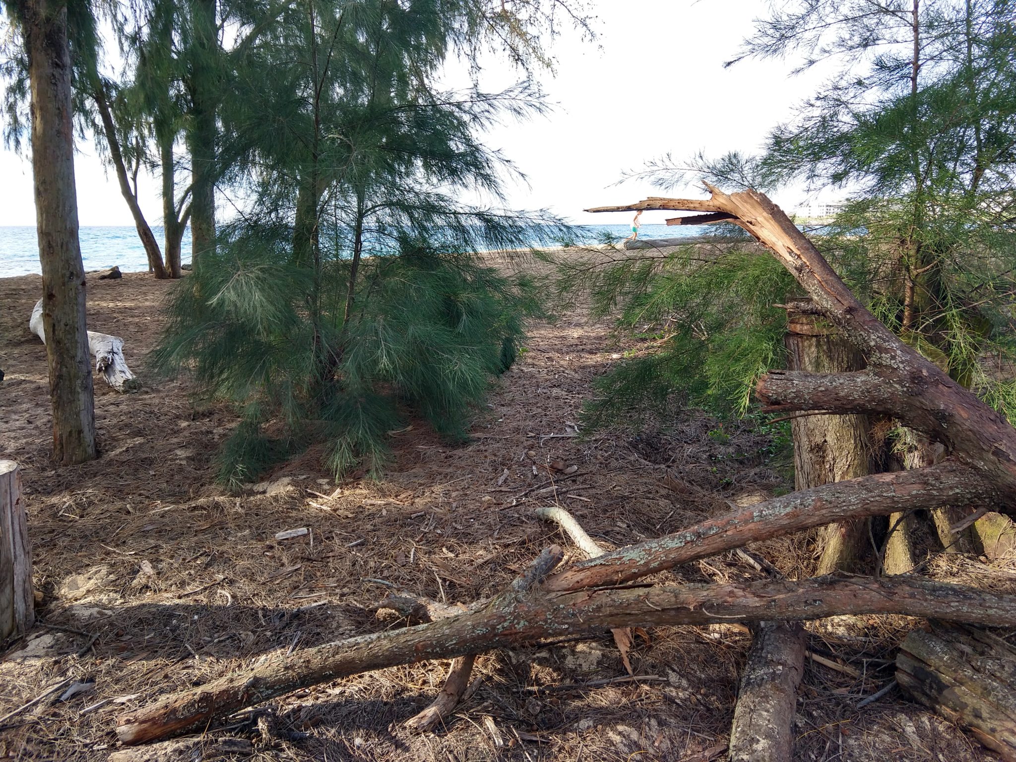
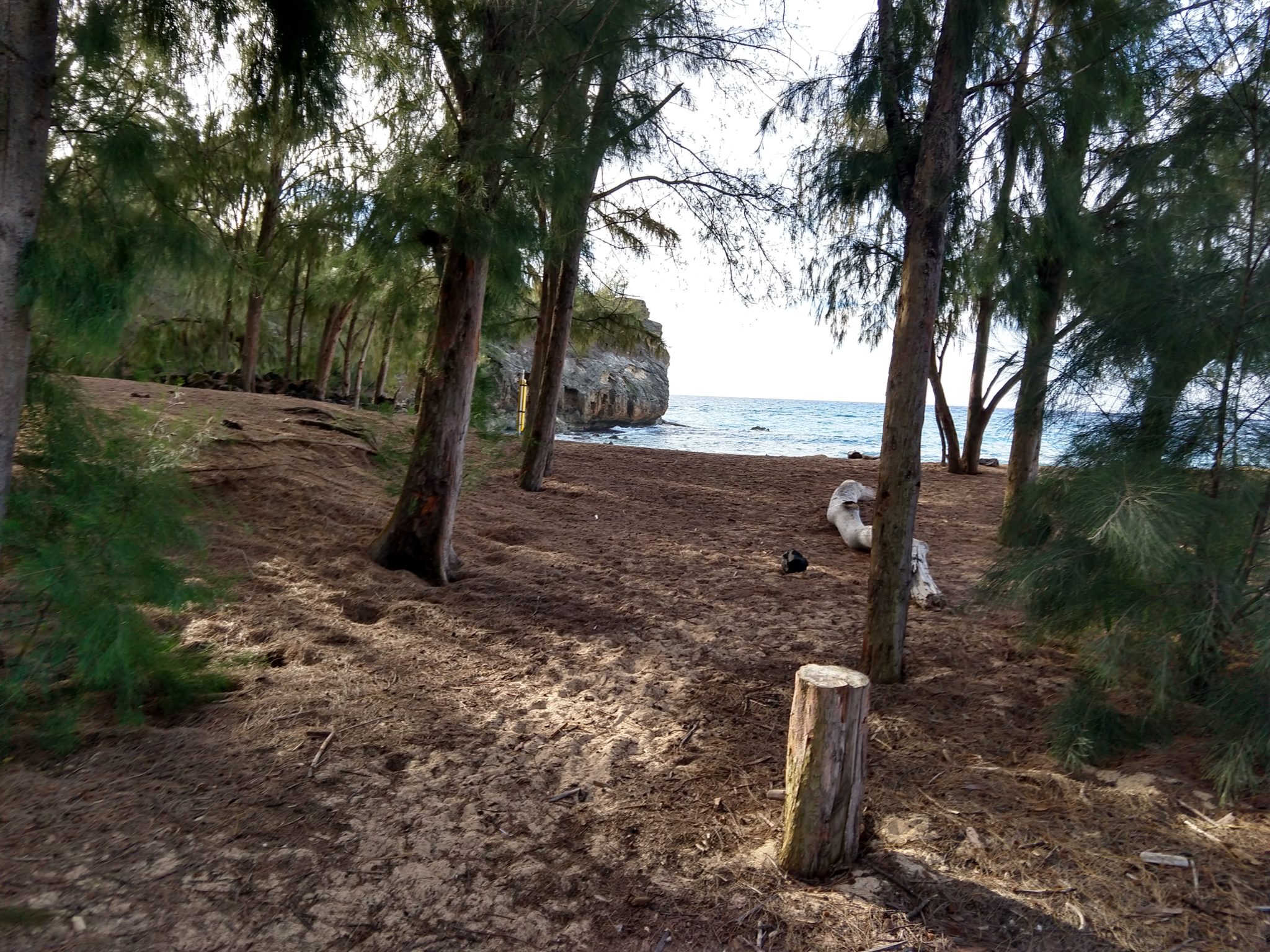
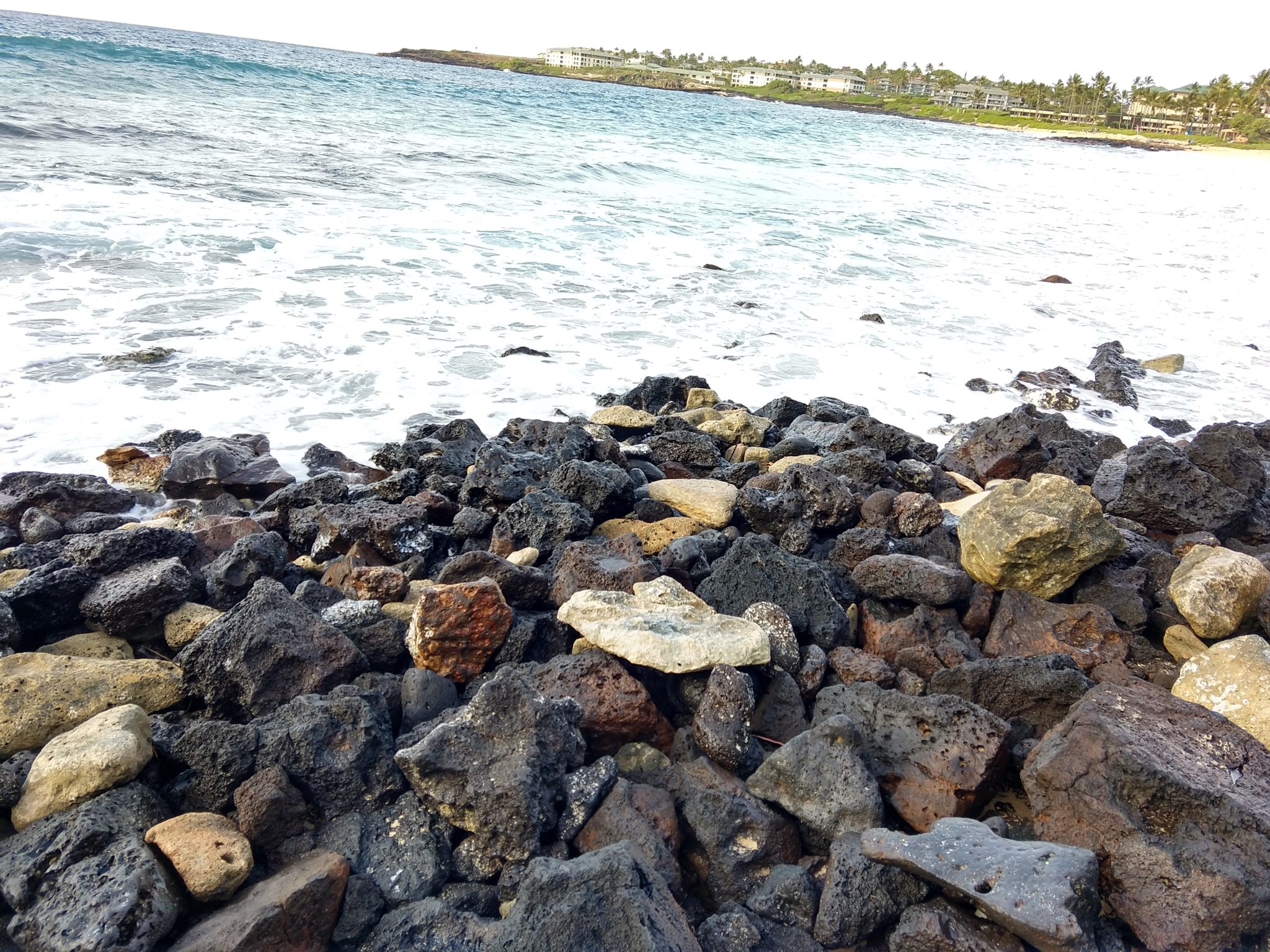
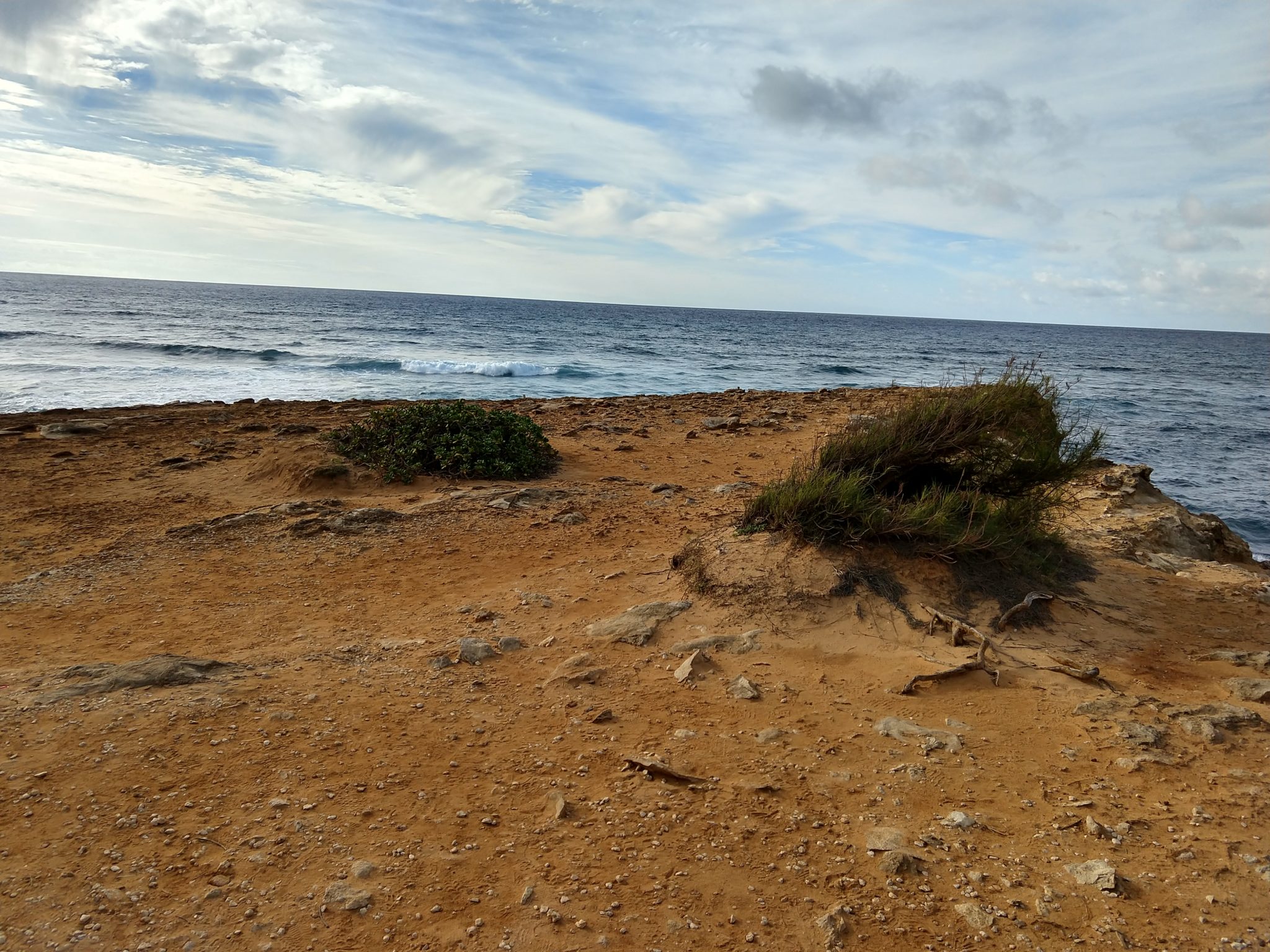
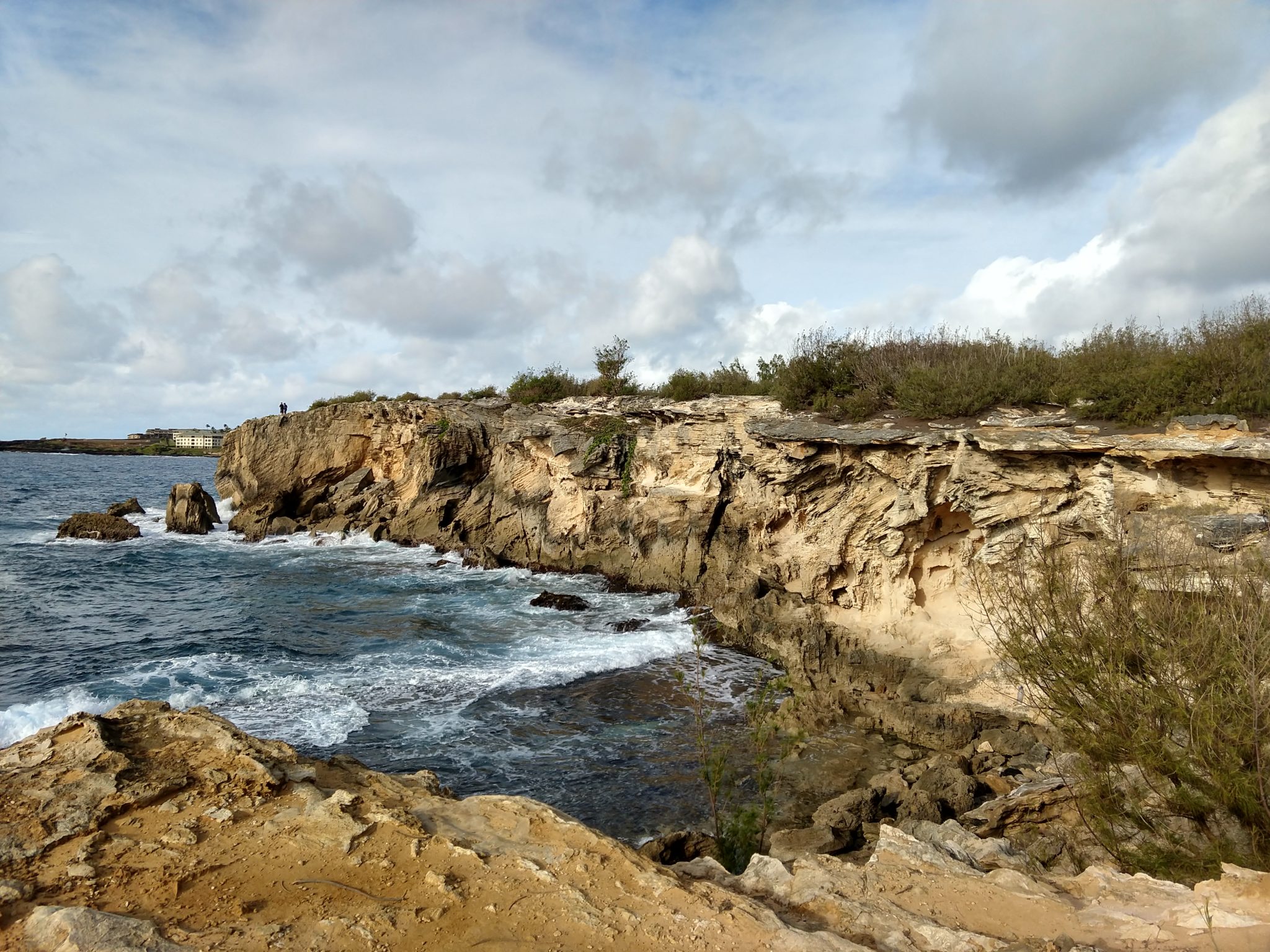
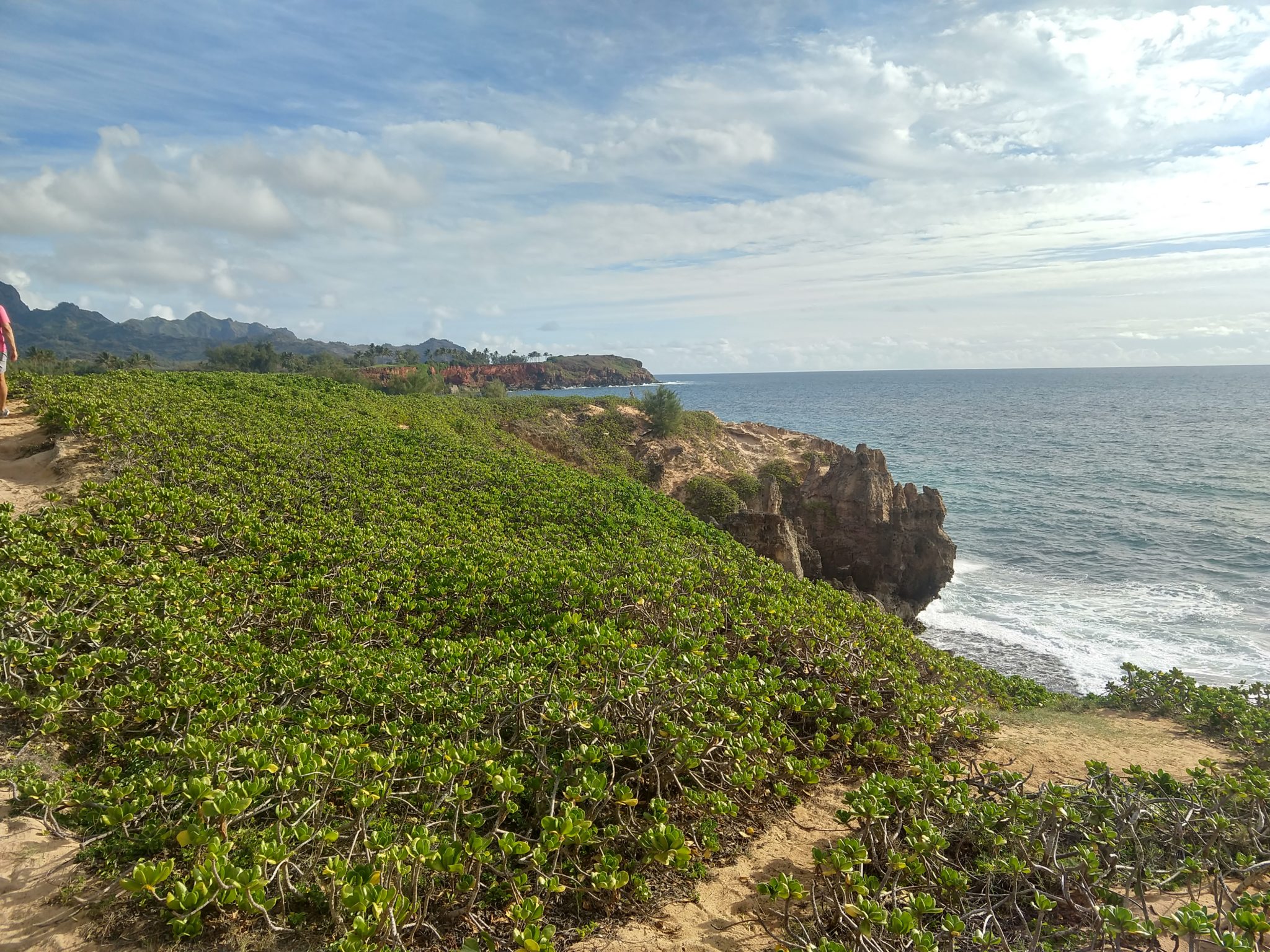
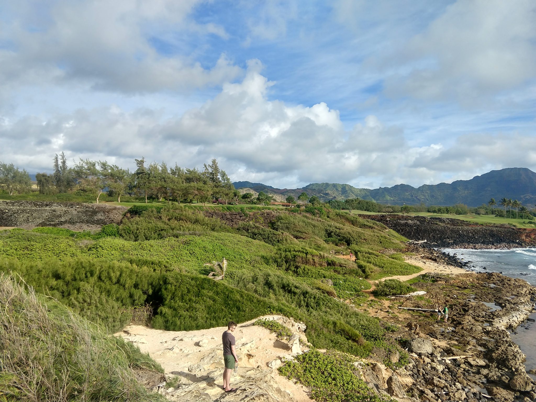
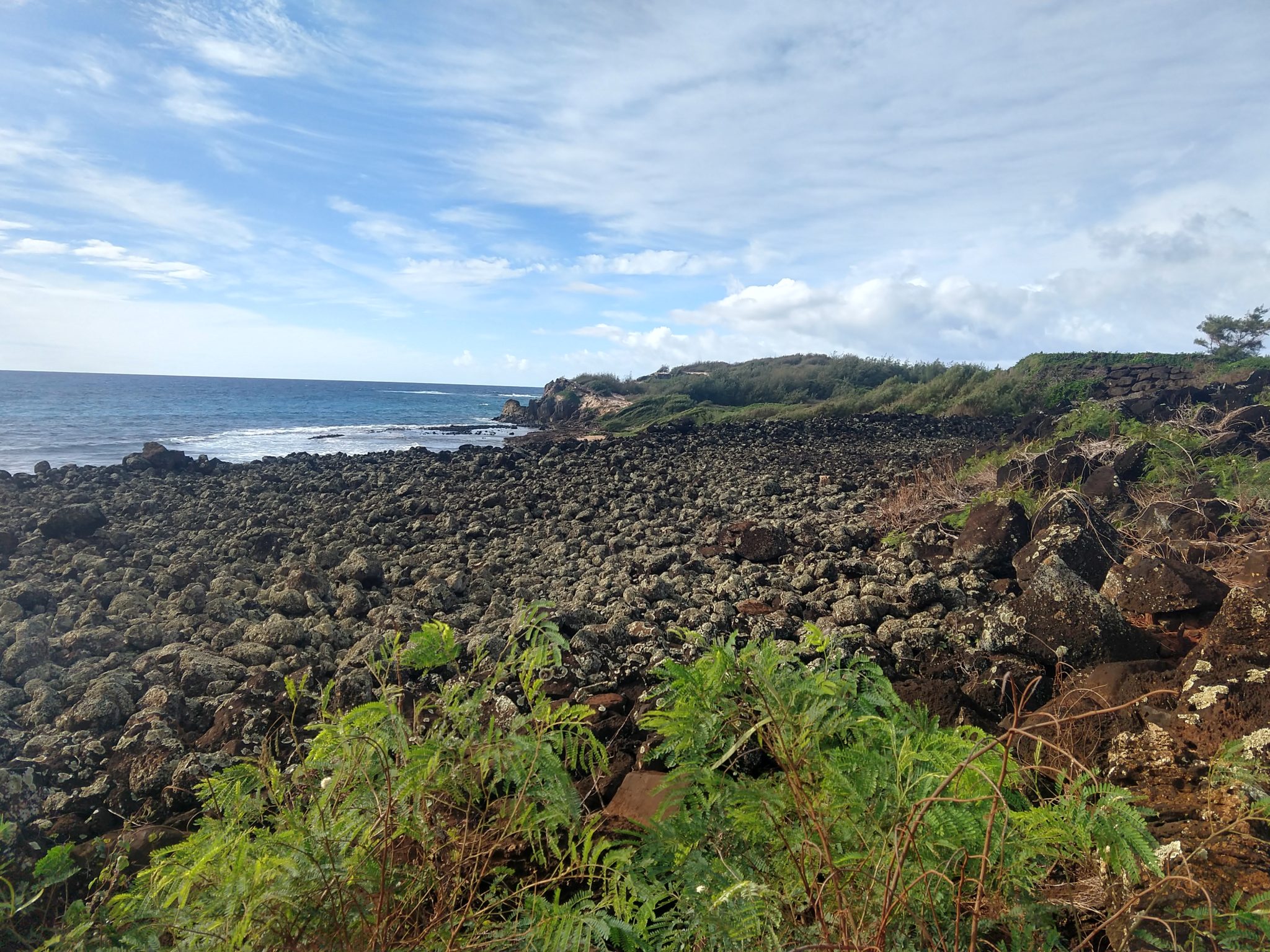
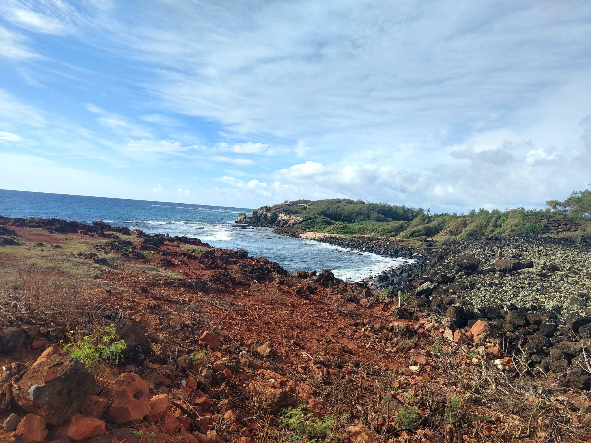
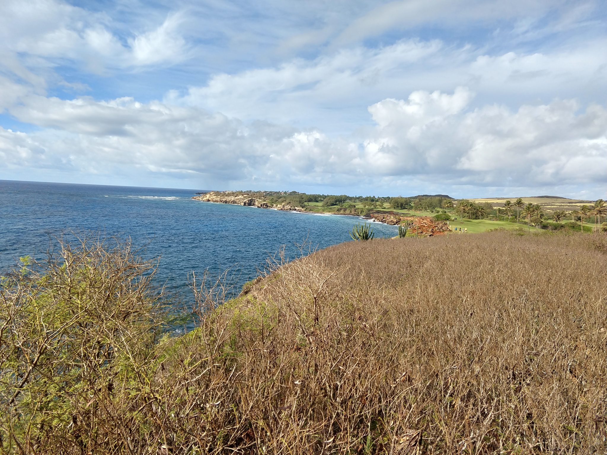
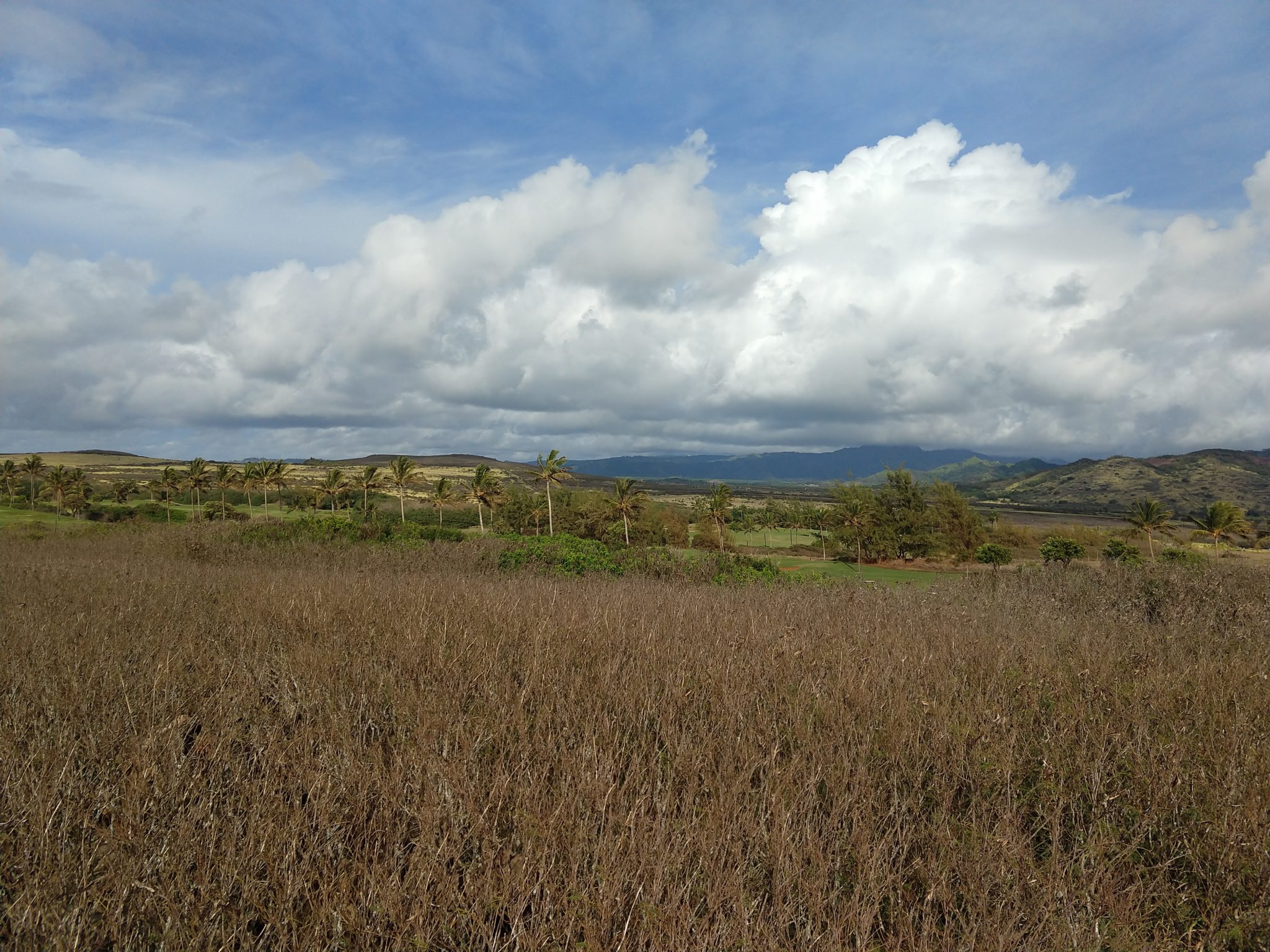
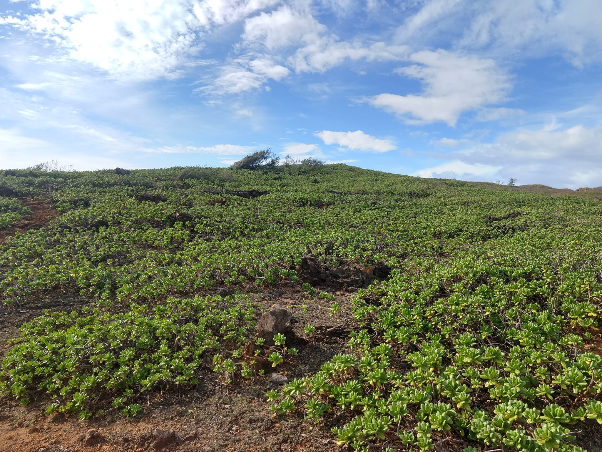
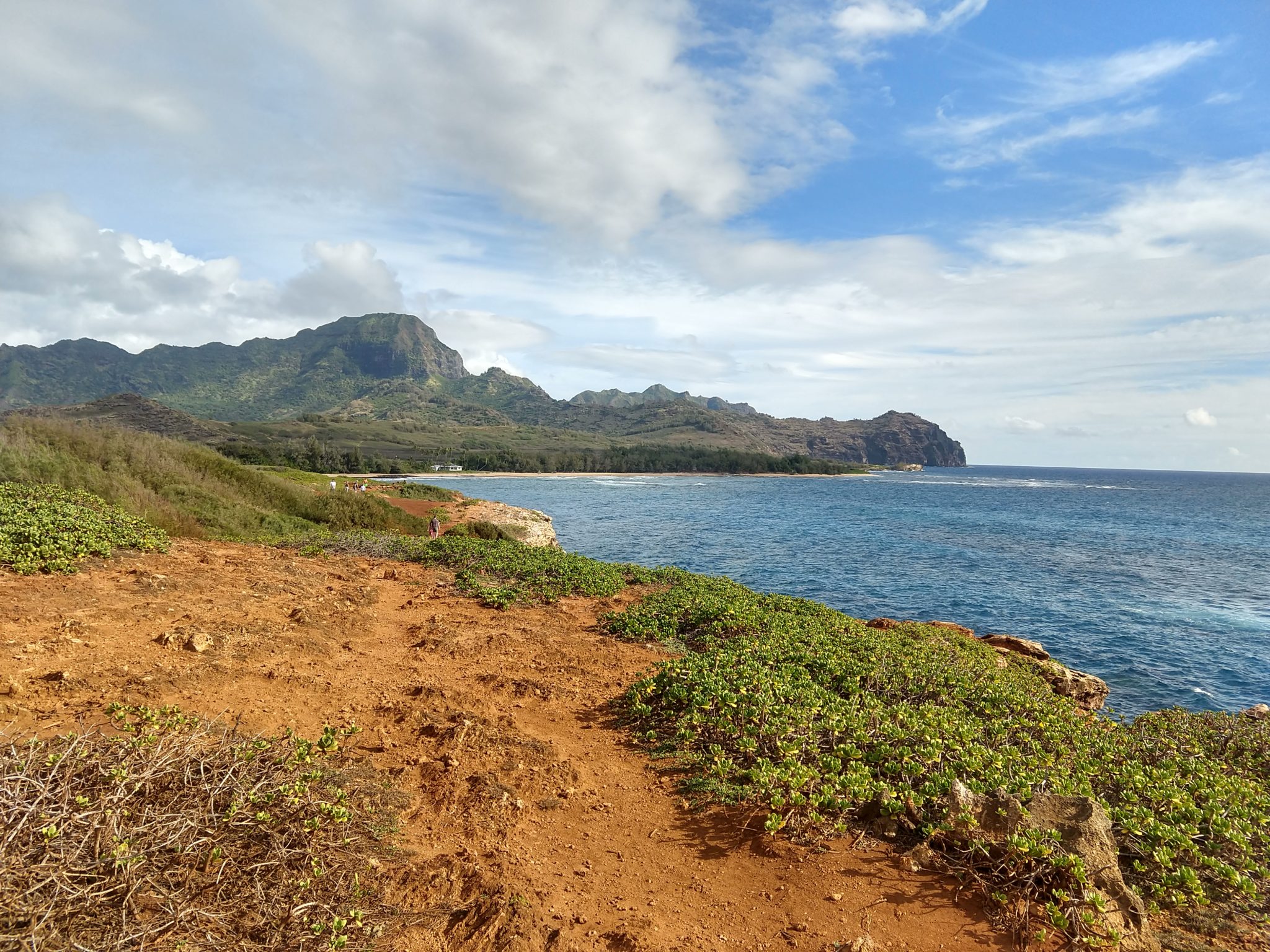
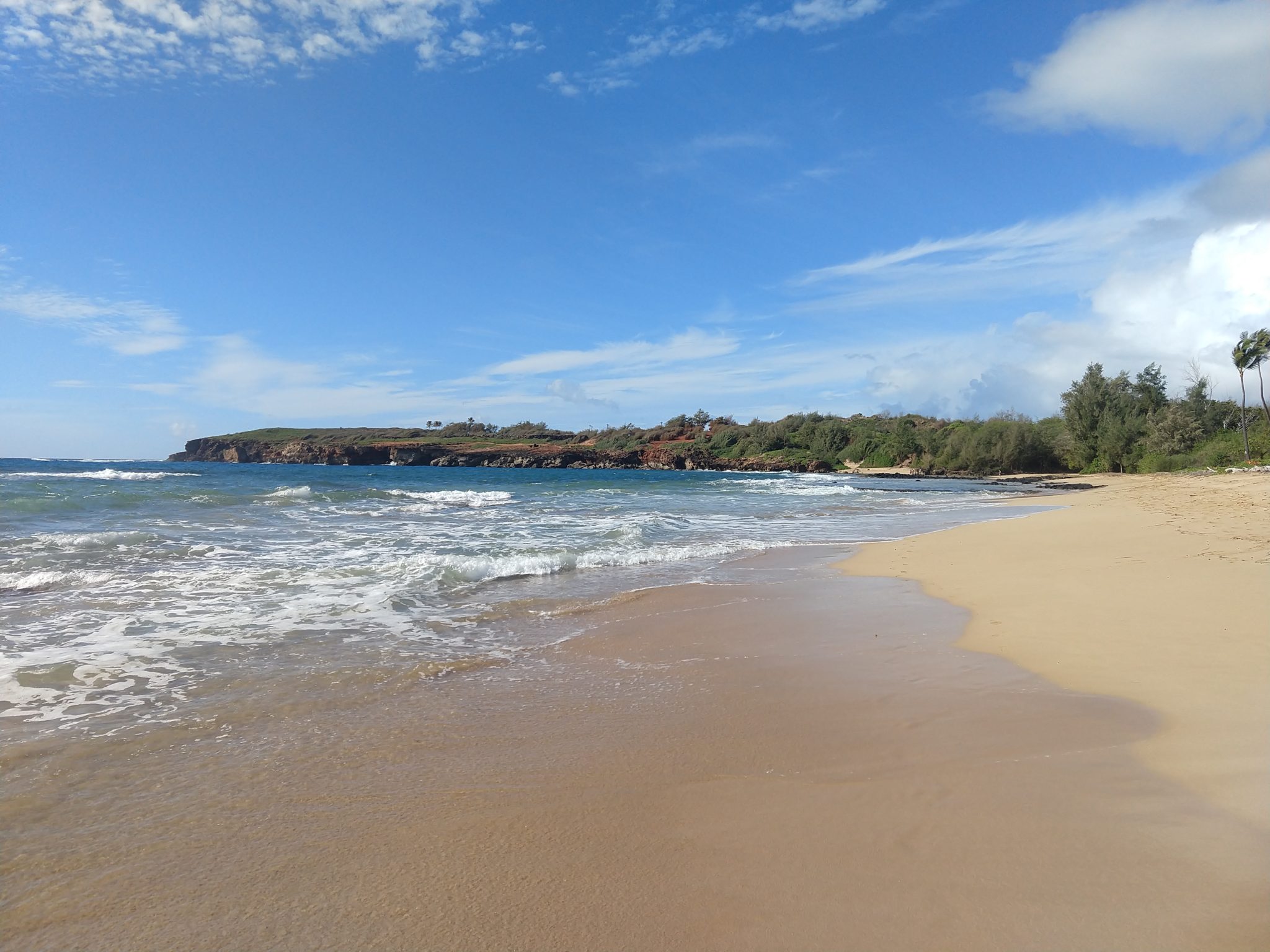
This was a wonderful hike/walk with great views and ended up at yet another great beach not mentioned anywhere I looked.! Highly recommended.
Mahaulepu Coastal Trail is a special part of Kauai History Heritage sight and the last stretch of accessible coastline on the south shore that has not been developed. Malama Mahaulepu is helping to effort to keep this place undeveloped and preserve the natural beauty for all to enjoy.
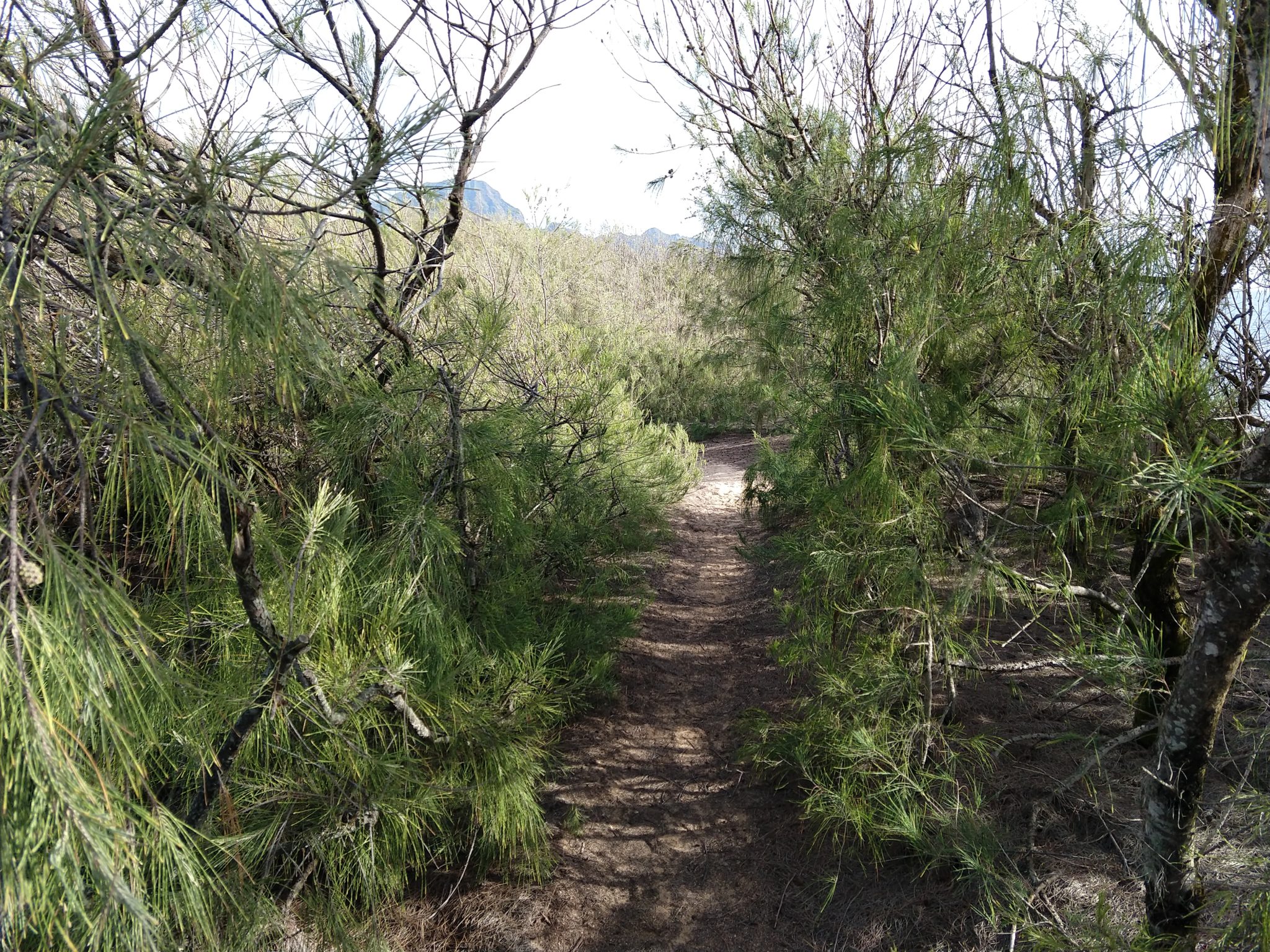
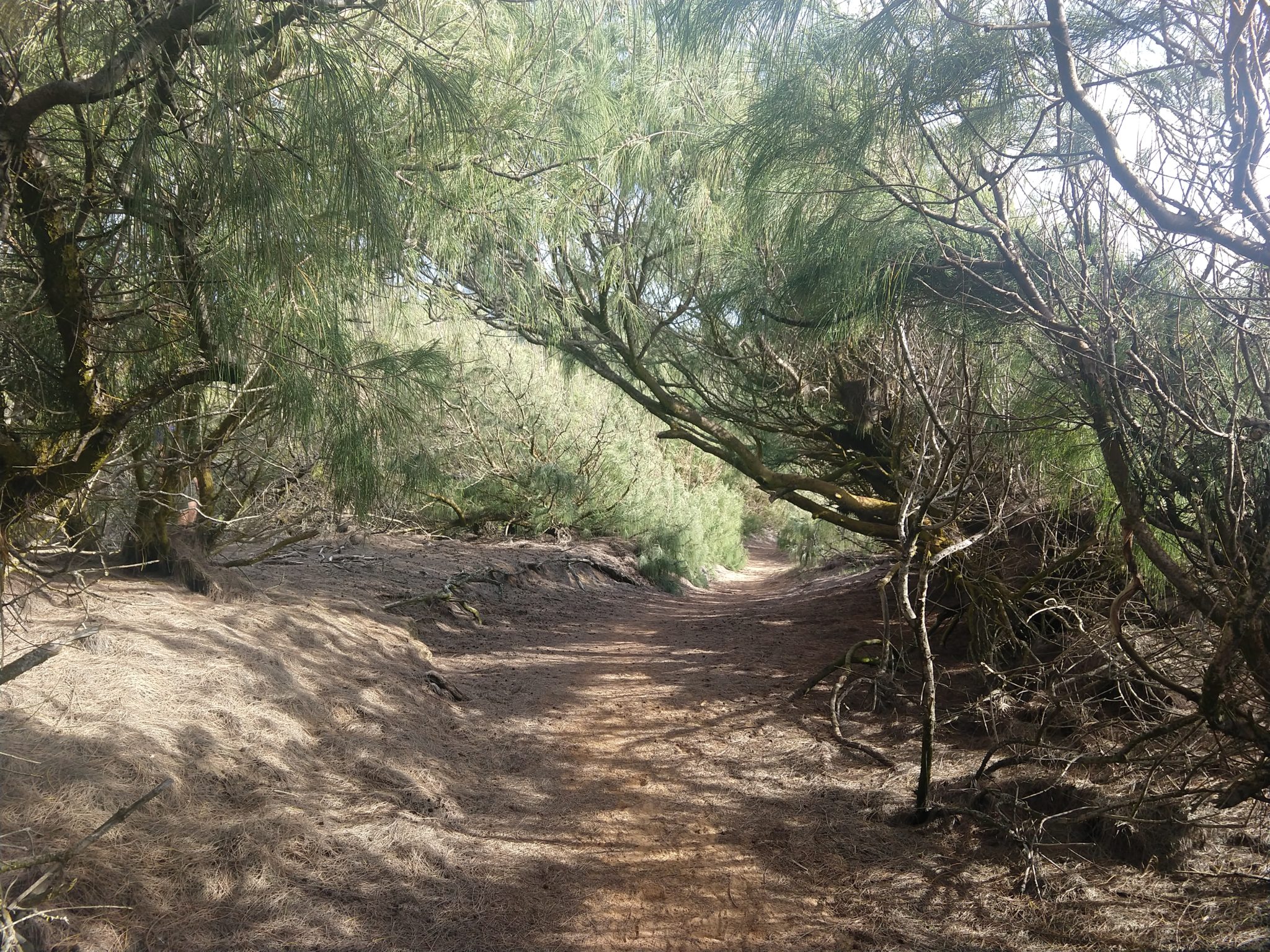
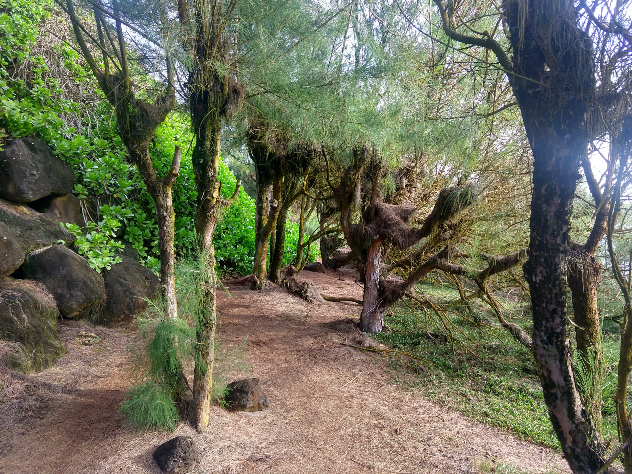
The Mahaulepu Heritage Trail is a great coastal hike that takes you from the south east corner of Shipwreck Beach Keonela Bay along sand-dune cliffs, Kiawe trees, limestone formations and rocky inlets that are an occasional safe haven for marine life, such as sea turtles and the endangered Hawaiian Monk Seal. Mahaulepu Beach is remote and rugged and the ocean here is usually rough and more suited for whale watching, beach combing and hiking. This is a sacred sanctuary that needs to be preserved. Tread lightly and leave only footprints behind.
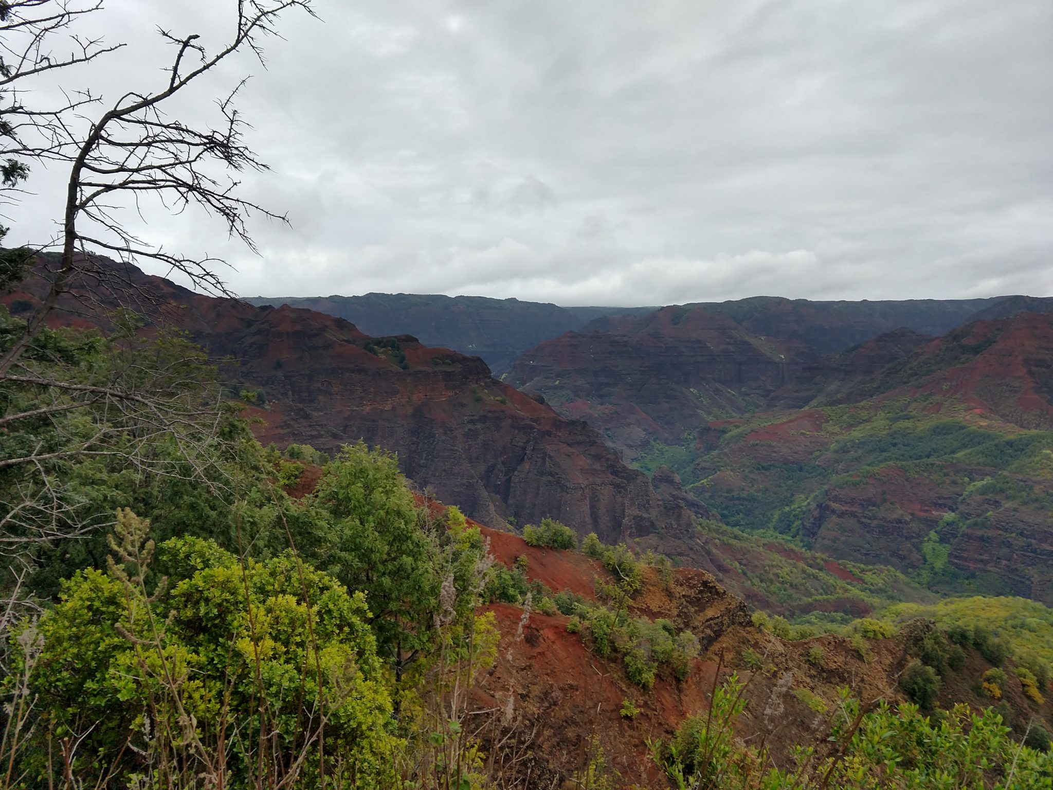
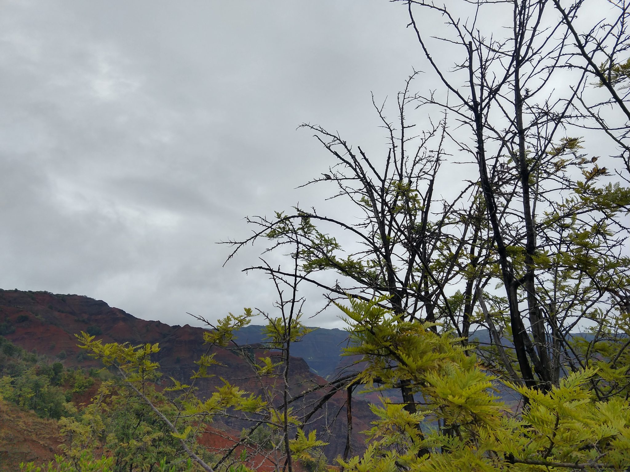
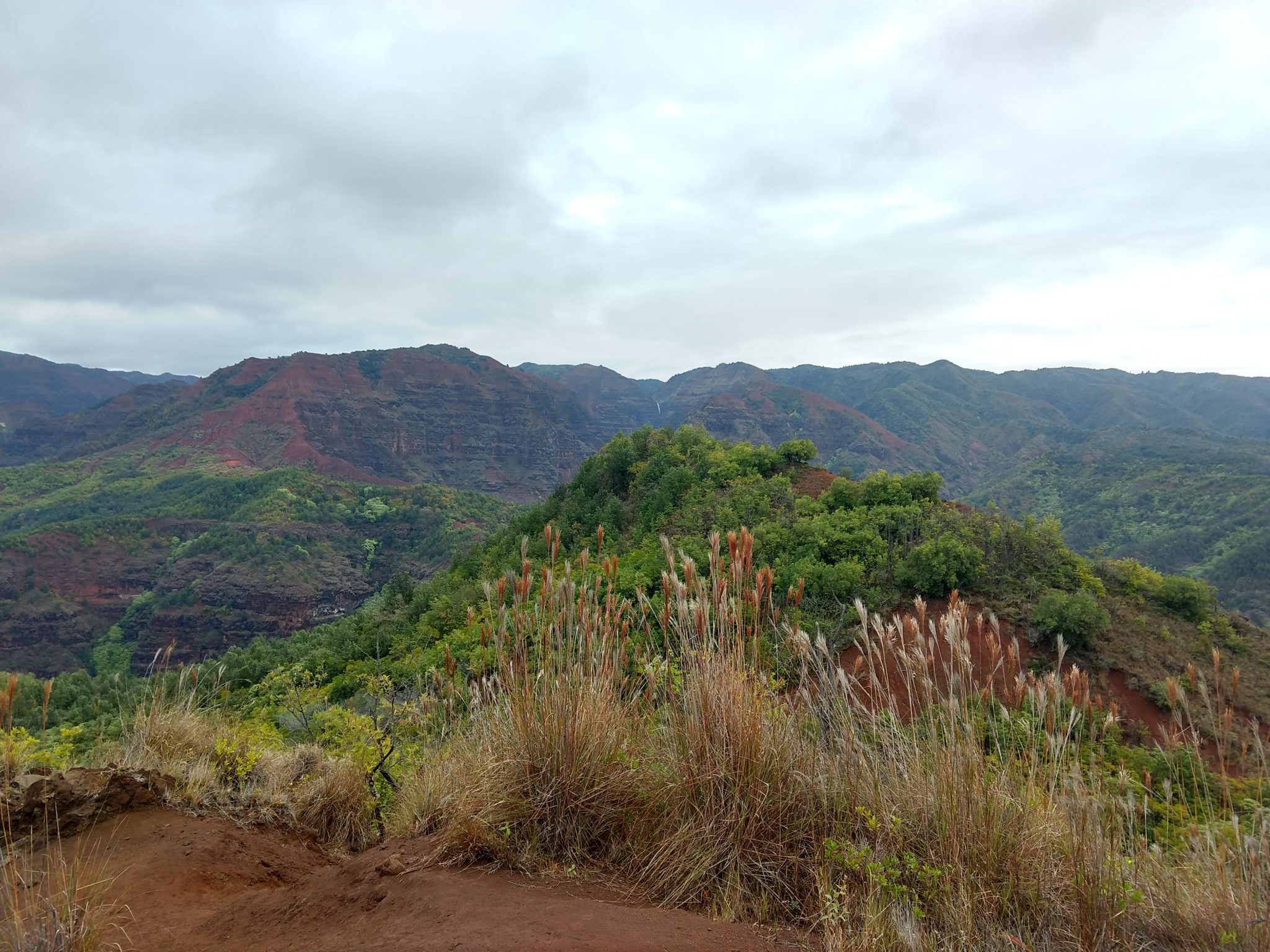
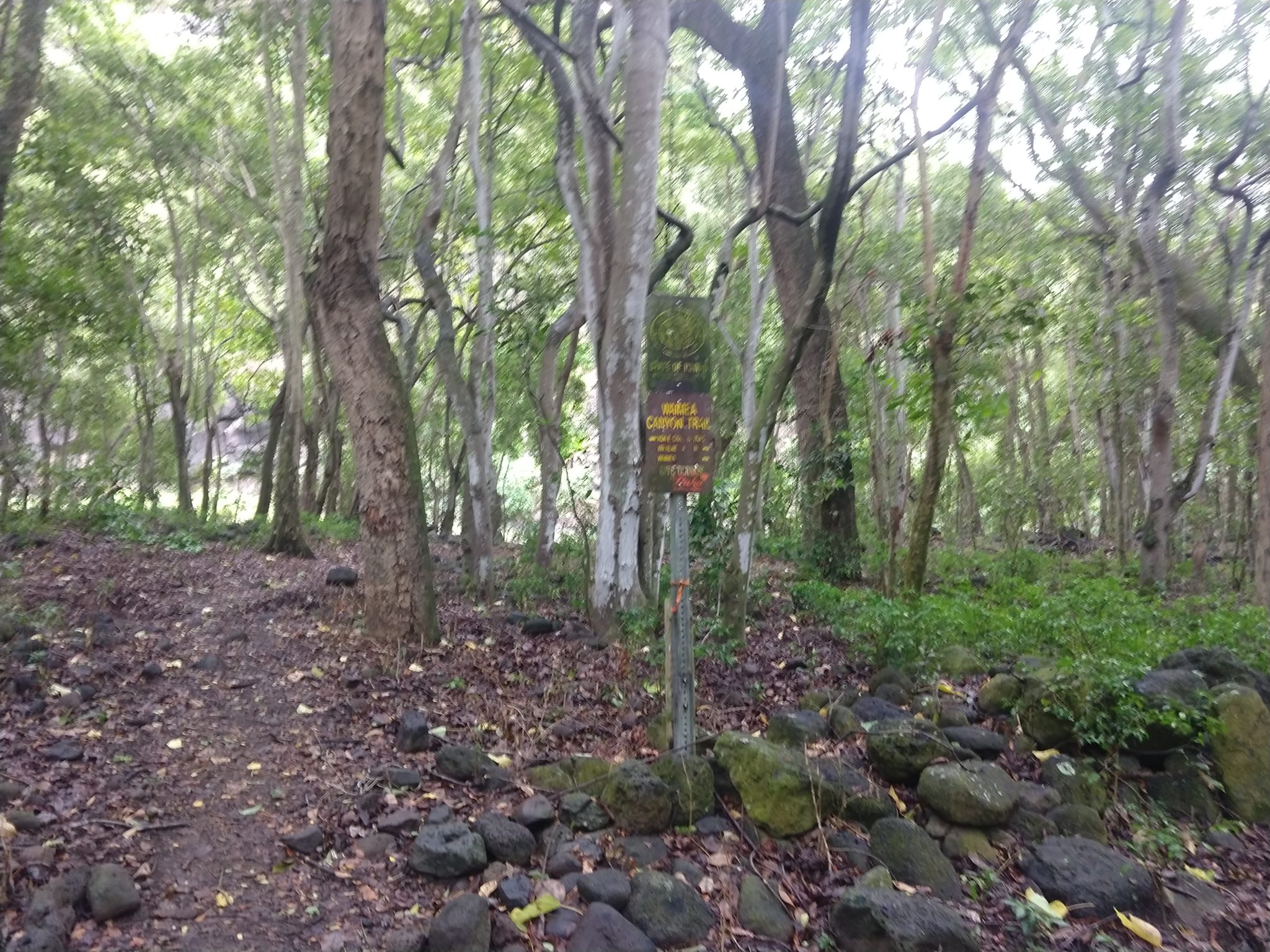
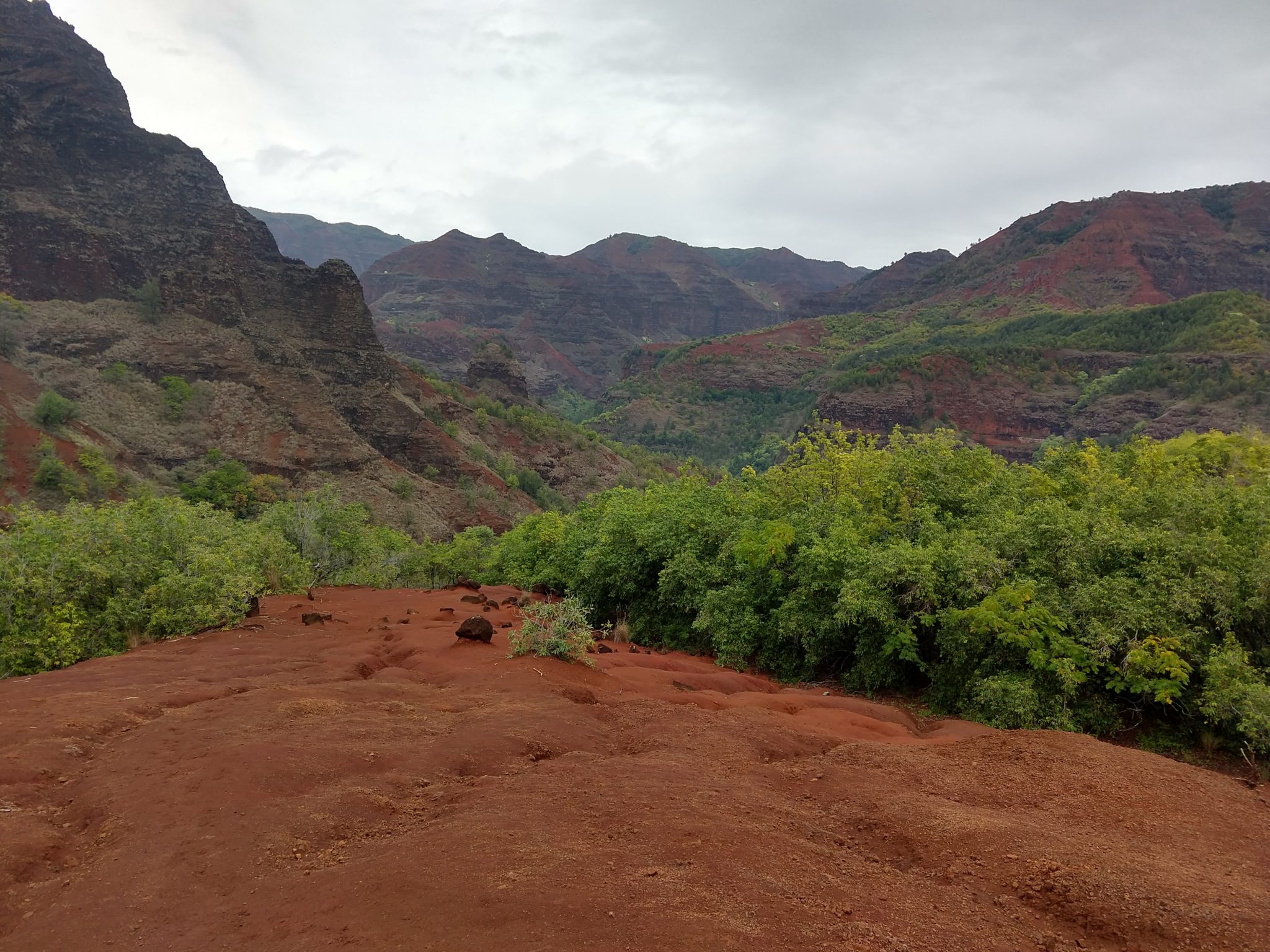
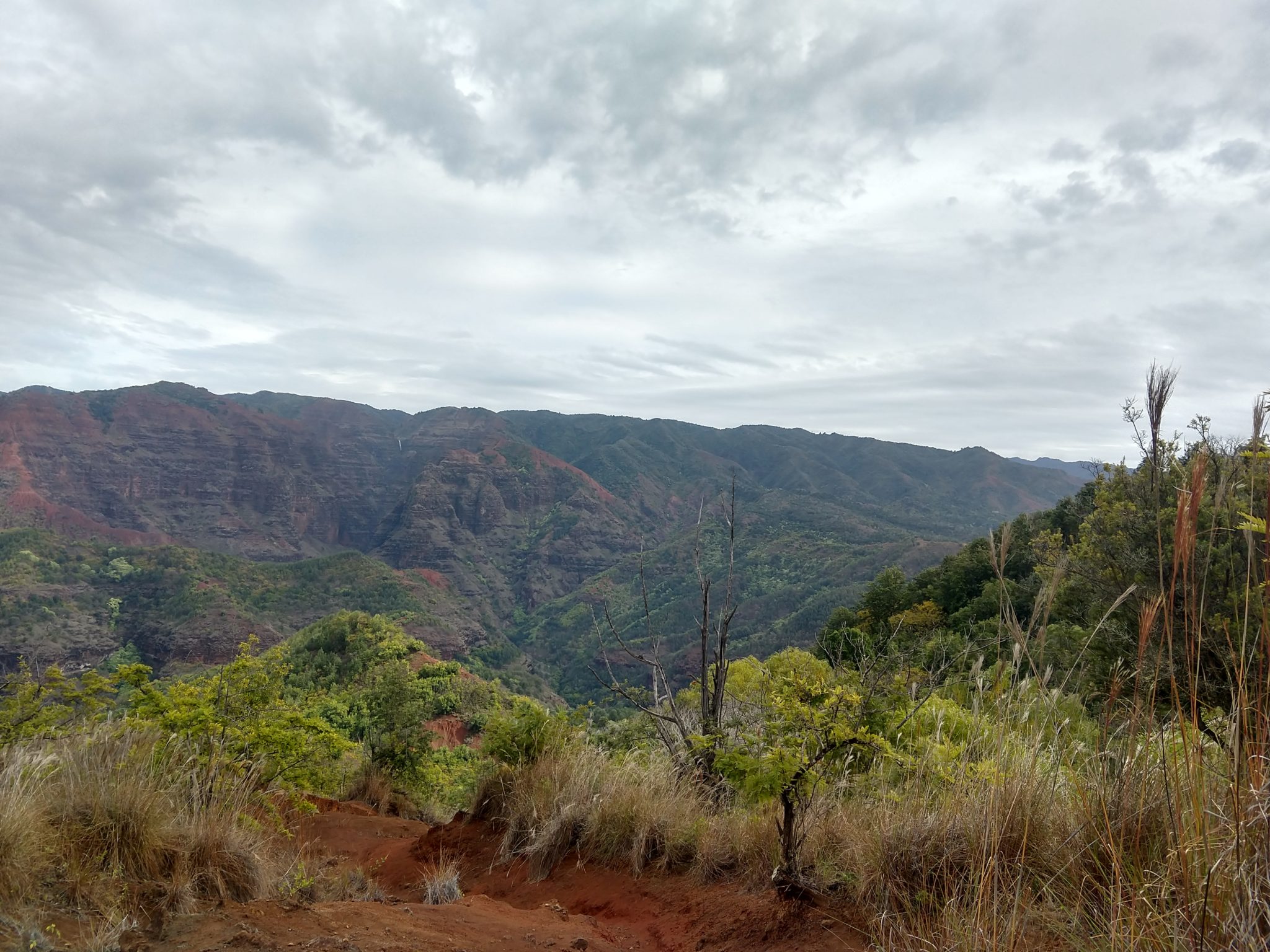
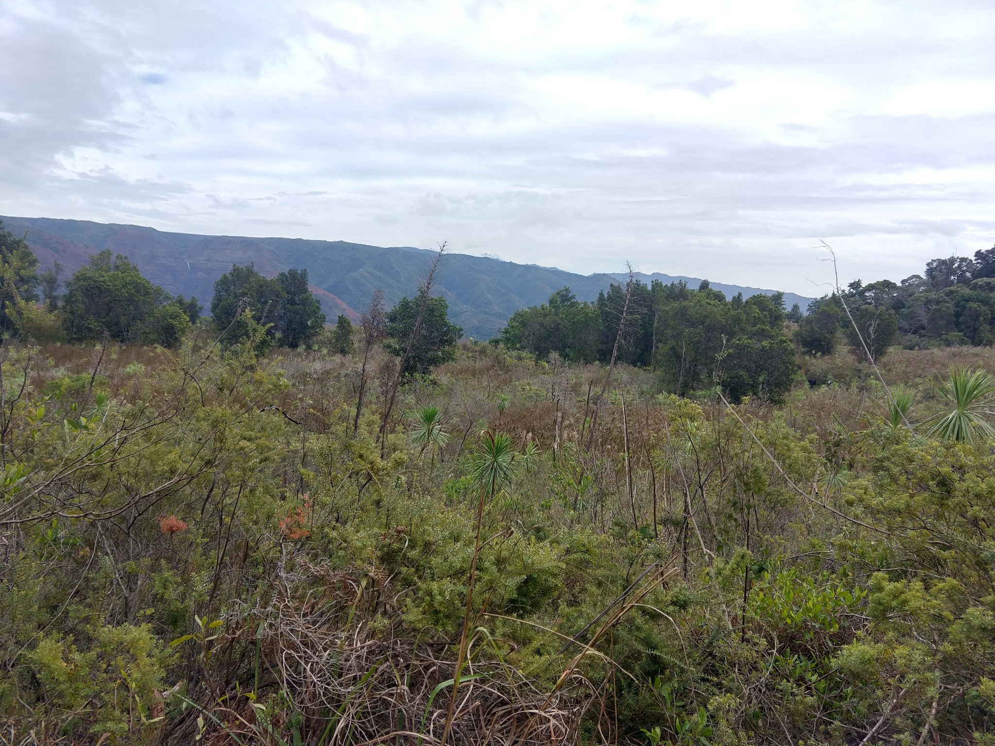
I wasn’t able to do any hiking the last time we were in Kauai, so I made a point of bringing my hiking boots and told Lina I would be going out every other day. Once we finally got settled on the island, I started to notice warnings all over telling us to be careful during hikes and to watch out for flash floods. I turns out that there was supposed to be a major storm headed to the island after the blizzard warning for the big island. Every weather report for Kauai says it is going to rain all the time in December, so I spent an hour researching the weather at each of the spots I was looking to hike at, and decided to take a chance on the first hike in the Waimea Canyon State Park, which is described as:
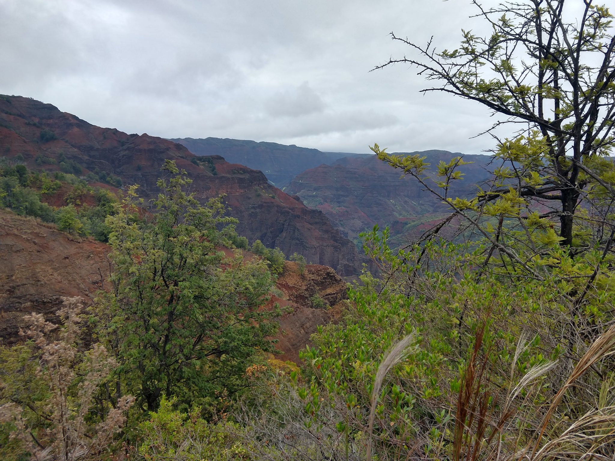
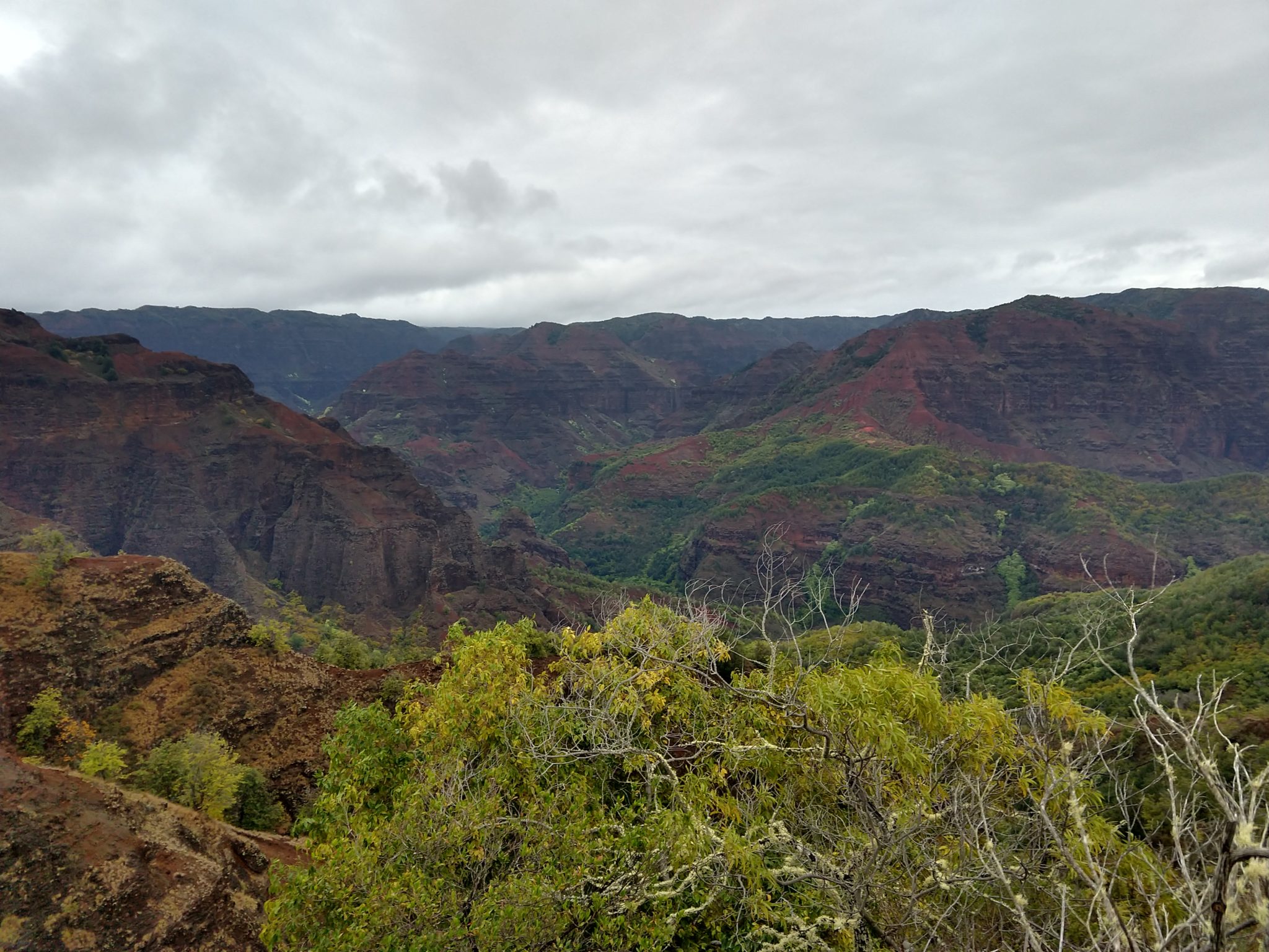
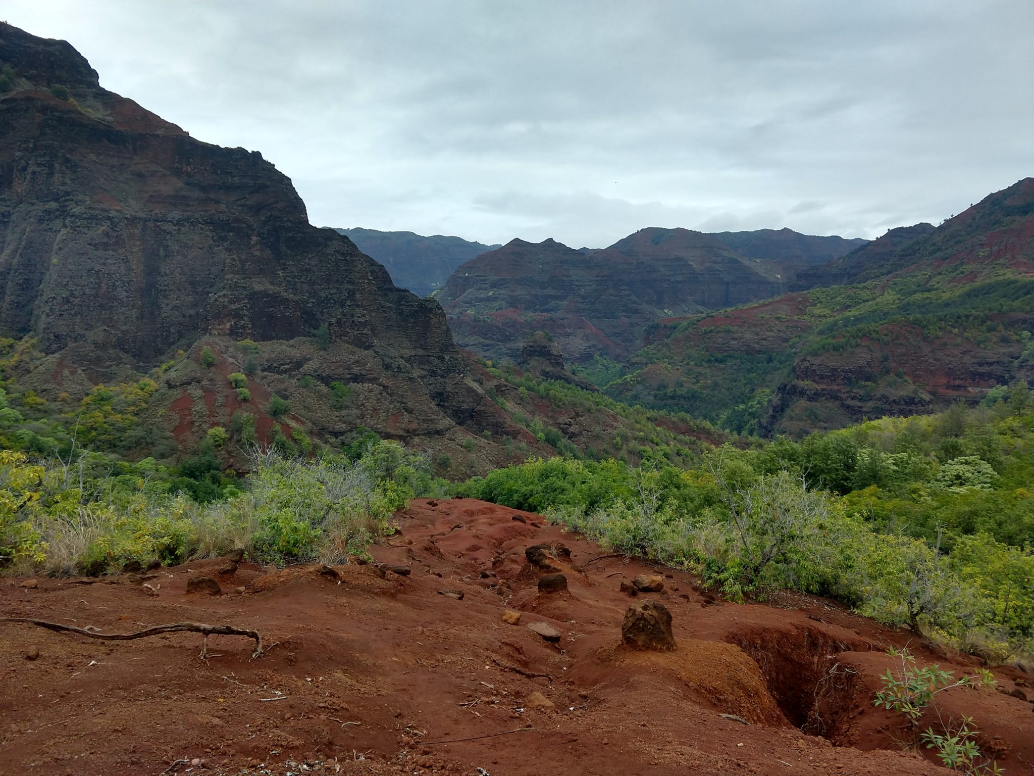
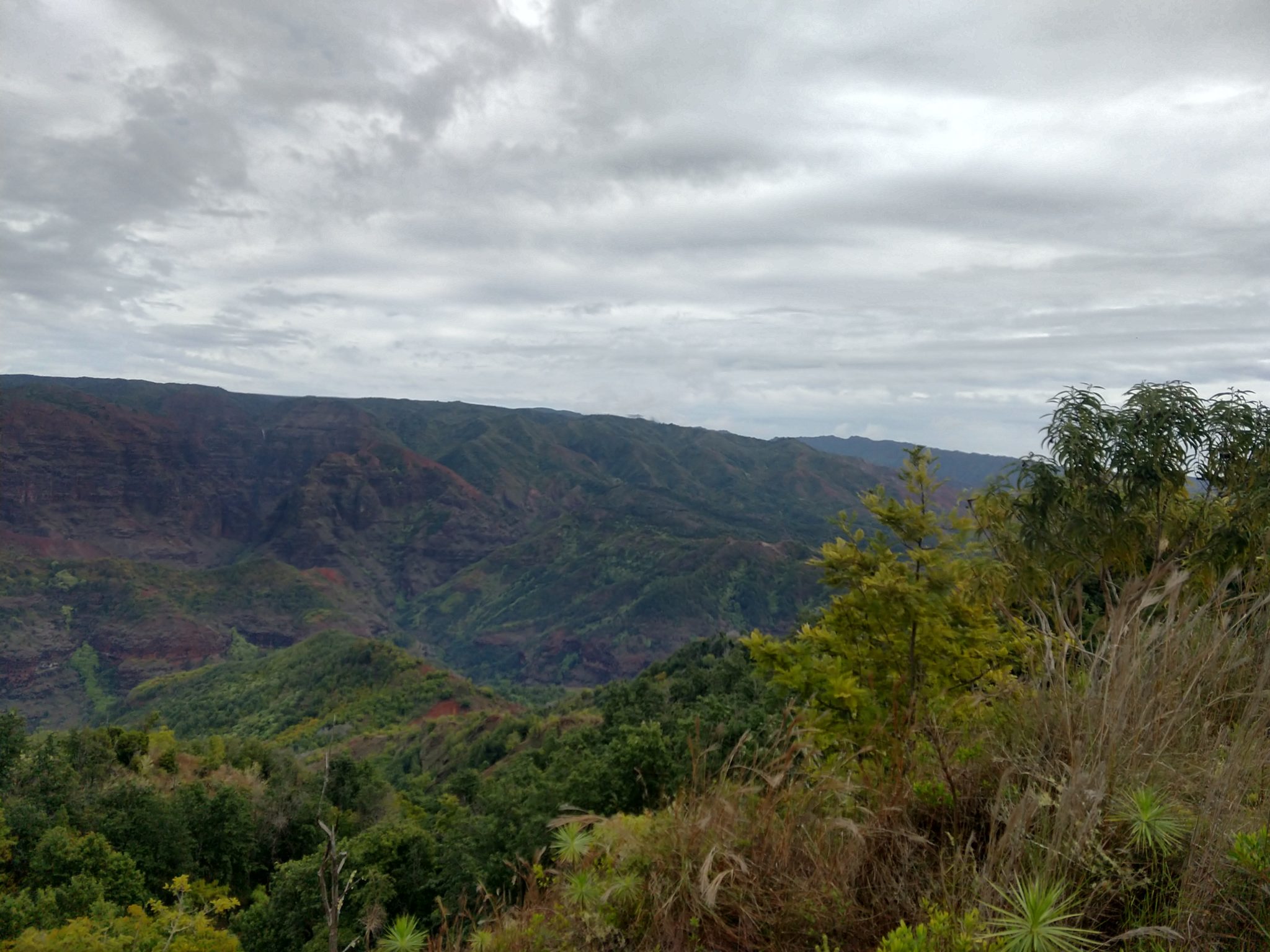
Waimea Canyon, on Kauai’s West Side, is described as “The Grand Canyon of the Pacific.” Although not as big or as old as its Arizona cousin, you won’t encounter anything like this geological wonder in Hawaii. Stretching 14 miles long, 1 mile wide and more than 3,600 feet deep, the Waimea Canyon Lookout provides panoramic views of crested buttes, rugged crags and deep valley gorges. The grand inland vistas go on for miles.
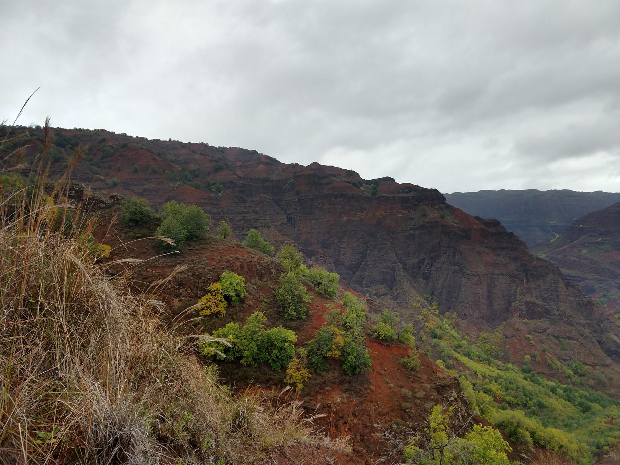
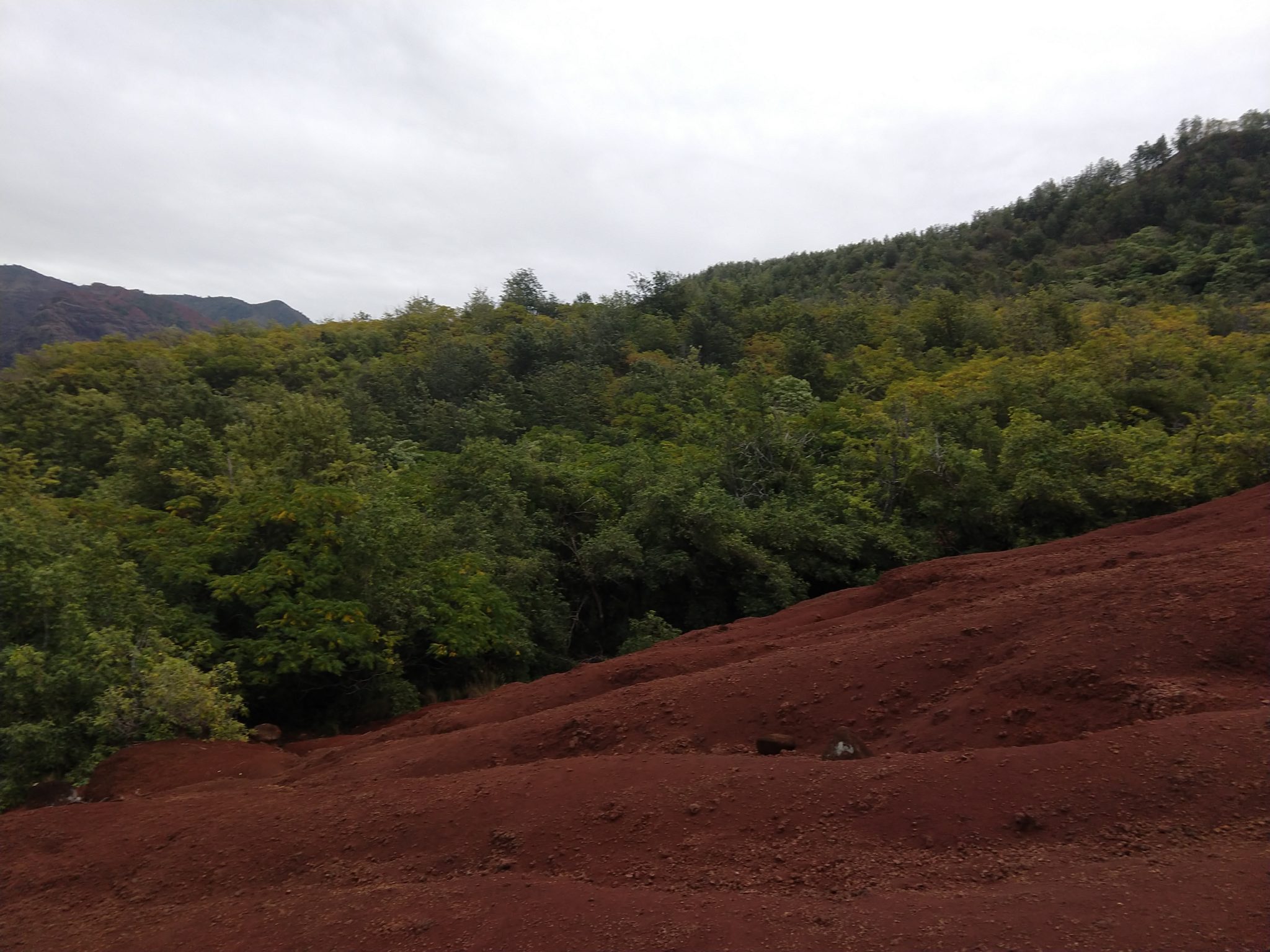
Unfortunately, weather and my schedule for the month or so before this trip didn’t allow me to get ready, and this hike was a bitch. It started by descending 2,000ft over 2 miles, or so, and it was slippery as hell for at least half of it.
I started looking for a walking stick almost immediately because I was slipping and sliding so much in the first few steps down. Luckily we learned that Kauai will provide everything we new when we took a guided tour of the country the day before, and it turned out to be true. I found the perfect walking stick almost immediately, which helped the descent immediately.
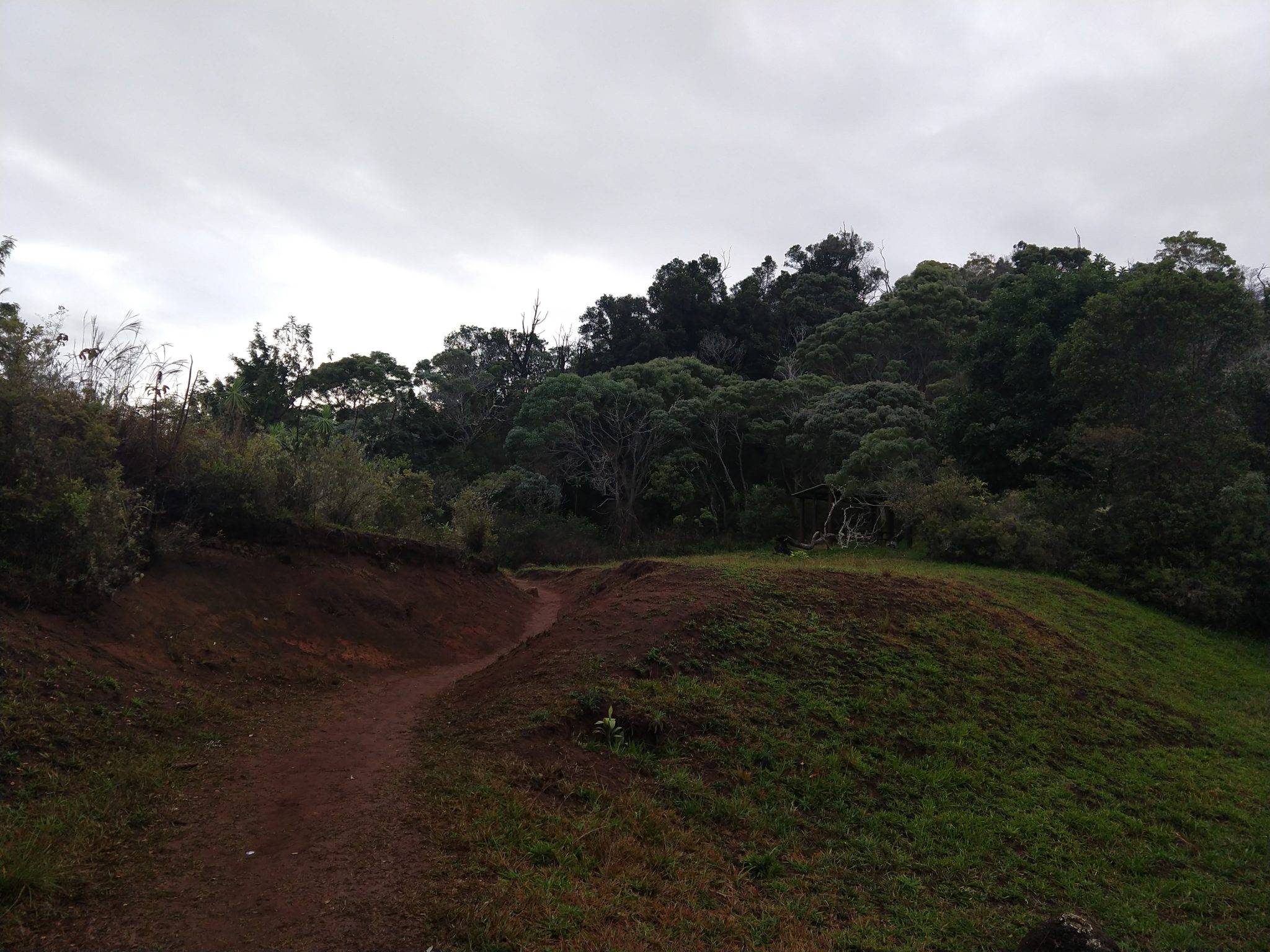
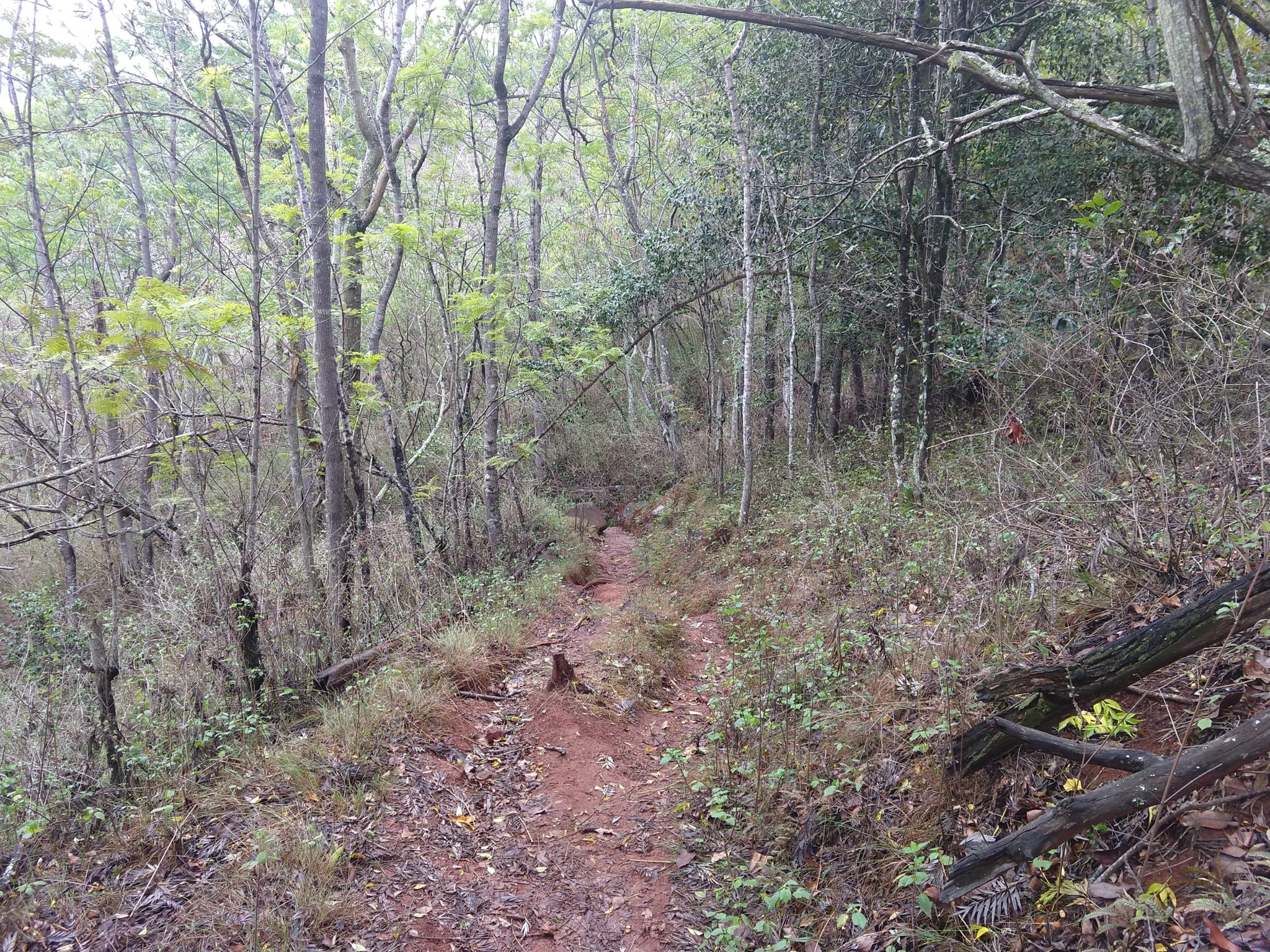
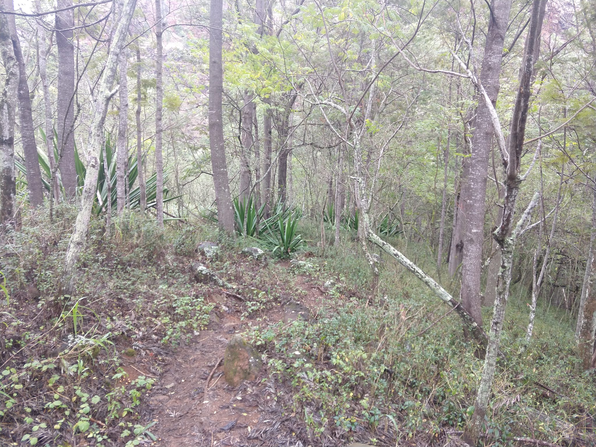
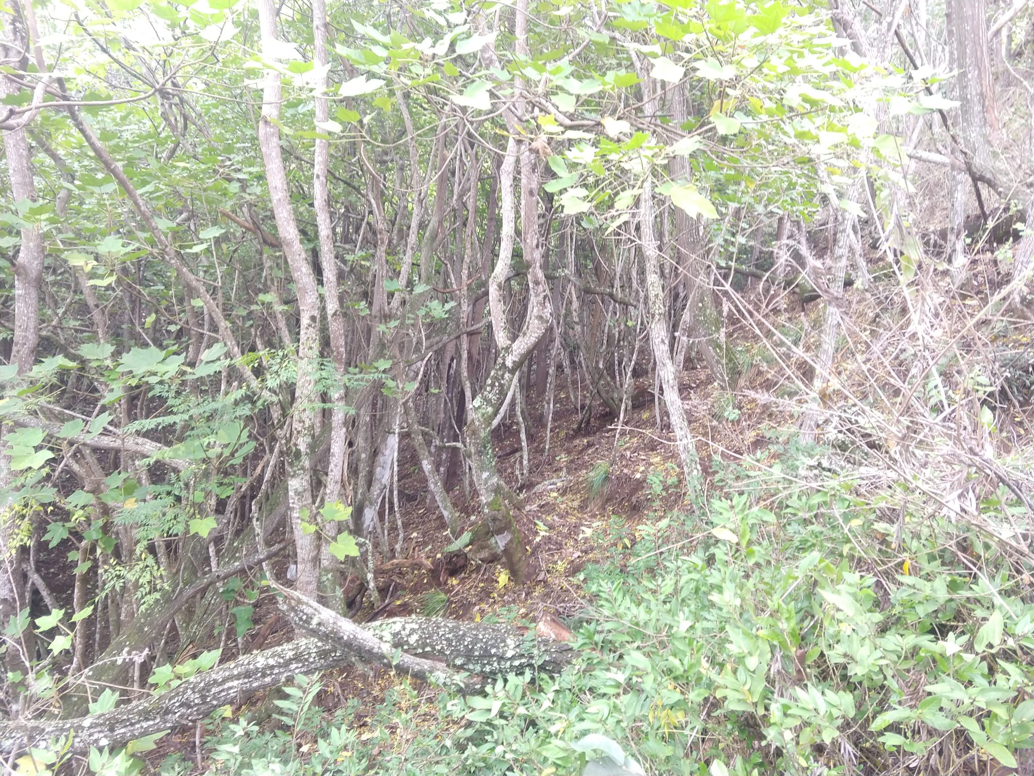
The first third of the hike was your typical tropical jungle and I was the only person on the trail because I started out really early hoping to beat the rain. The weather was overcast at the start with no wind, so the first mile or so was almost silent, but I started to worry that the trail would turn into a river if it did start raining and I started to have second thoughts about the whole thing.
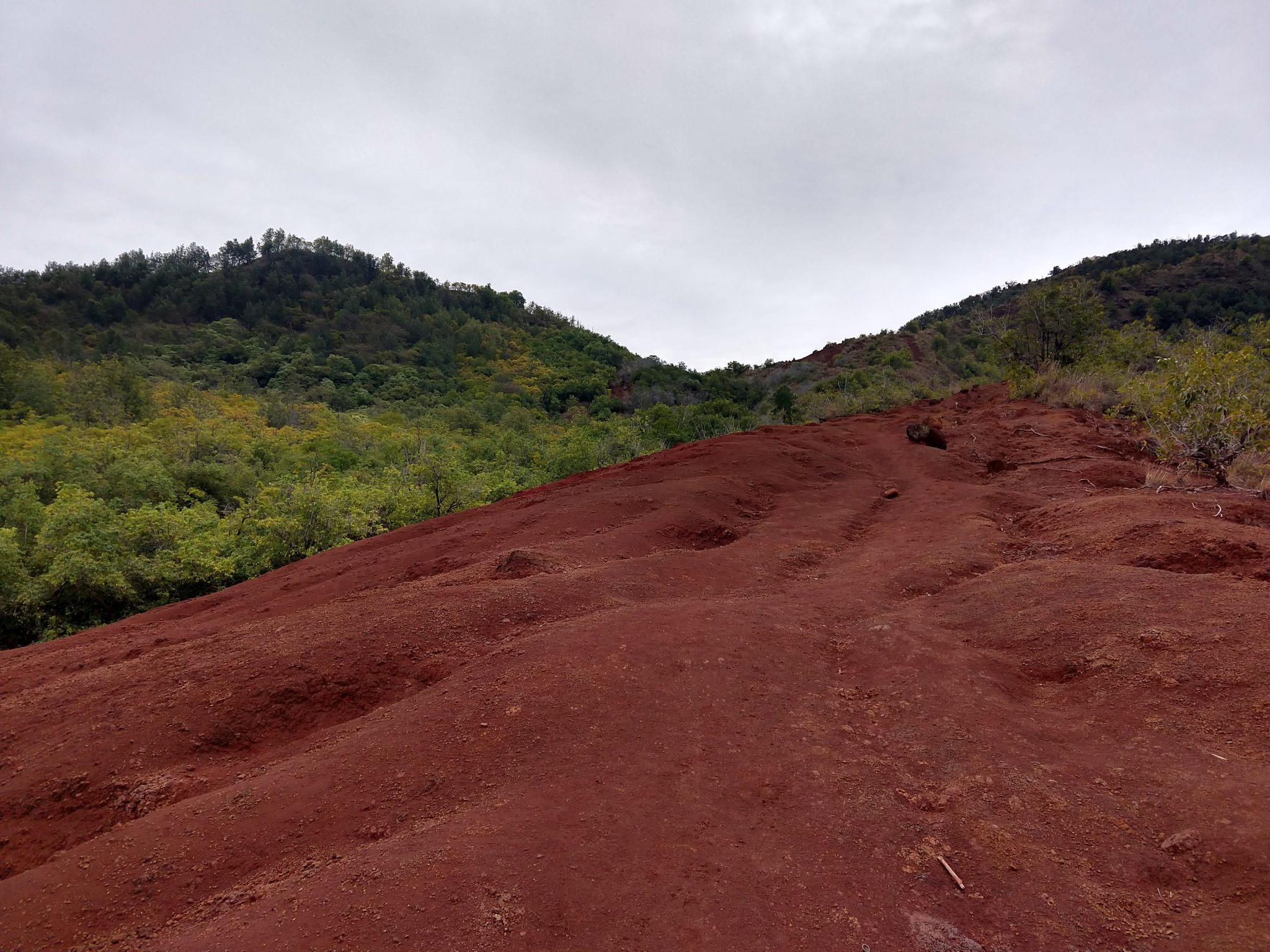
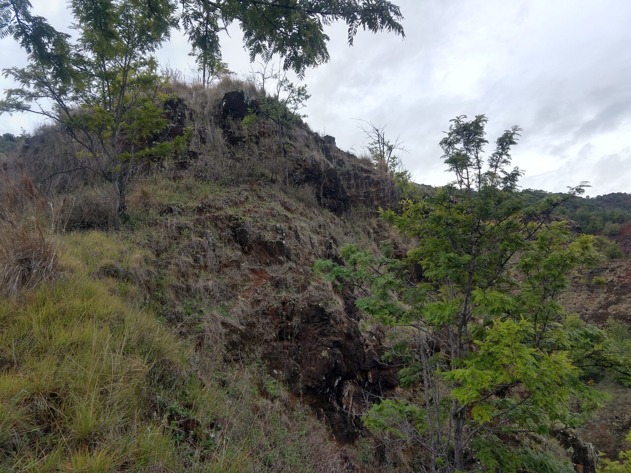
Then I hit the dirt descent, which seemed to go straight down. This was less slick, but then the helicopters started their tour of the waterfall across the valley. They then went by every 10 minutes, or so, which wrecked the entire soundscape. We will never ever take a helicopter tour in the future because they are almost as bad as jet-skis on the lake.
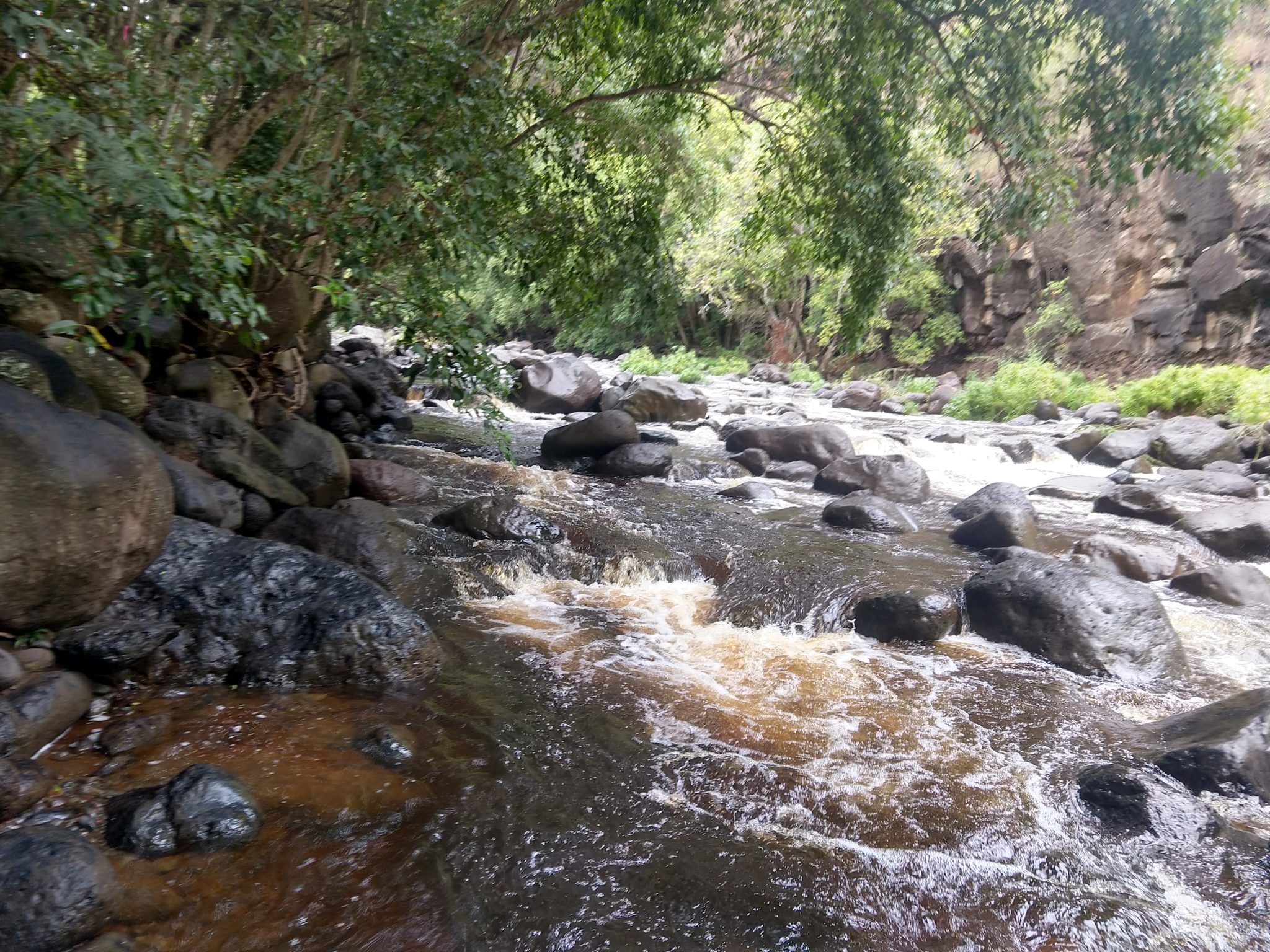
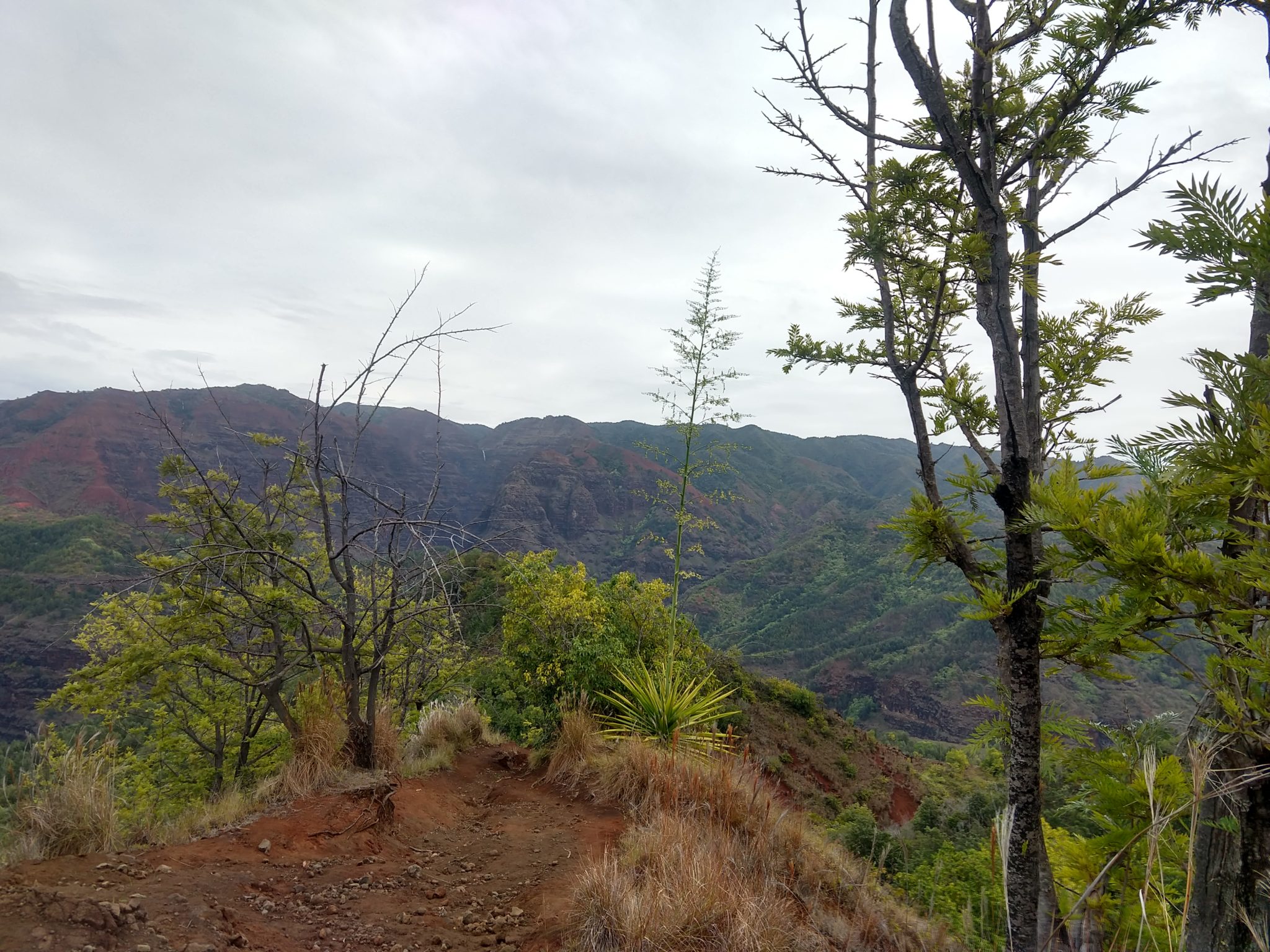
Then the trail started looking like a normal forest on the mainland with the occasional giant tropical bush until I reached the river. I scared the loudest pair of grouse I’ve ever heard, and one of the most colorful birds I’ve ever seen, even if I just got a glimpse of both.
The trek up was brutally steep and seemed to go on forever, but luckily I still had my walking stick that helped make it manageable. I never did manage to get a groove going because it was too steep and too slick, so it was a slog the whole way up. I think this was the slowest time I’ve ever had during a hike, but it was beautiful and the rain never came!
Here are the stats:
Distance = 5.18 mi
Elevation Gain = 2,198.2 ft
Time = 3:06:01
Average Moving Speed = 2.9 mph
Min elevation = 2,984 ft
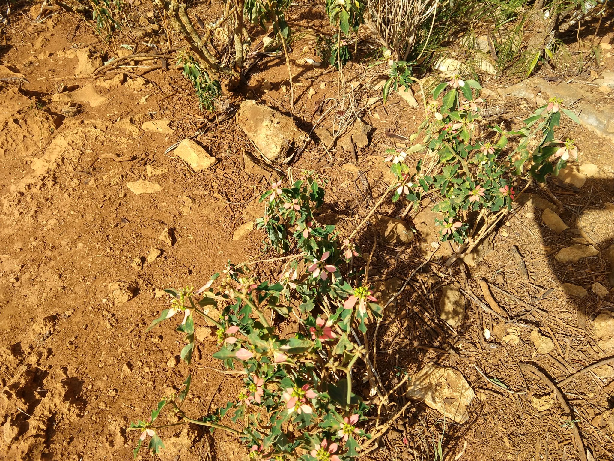
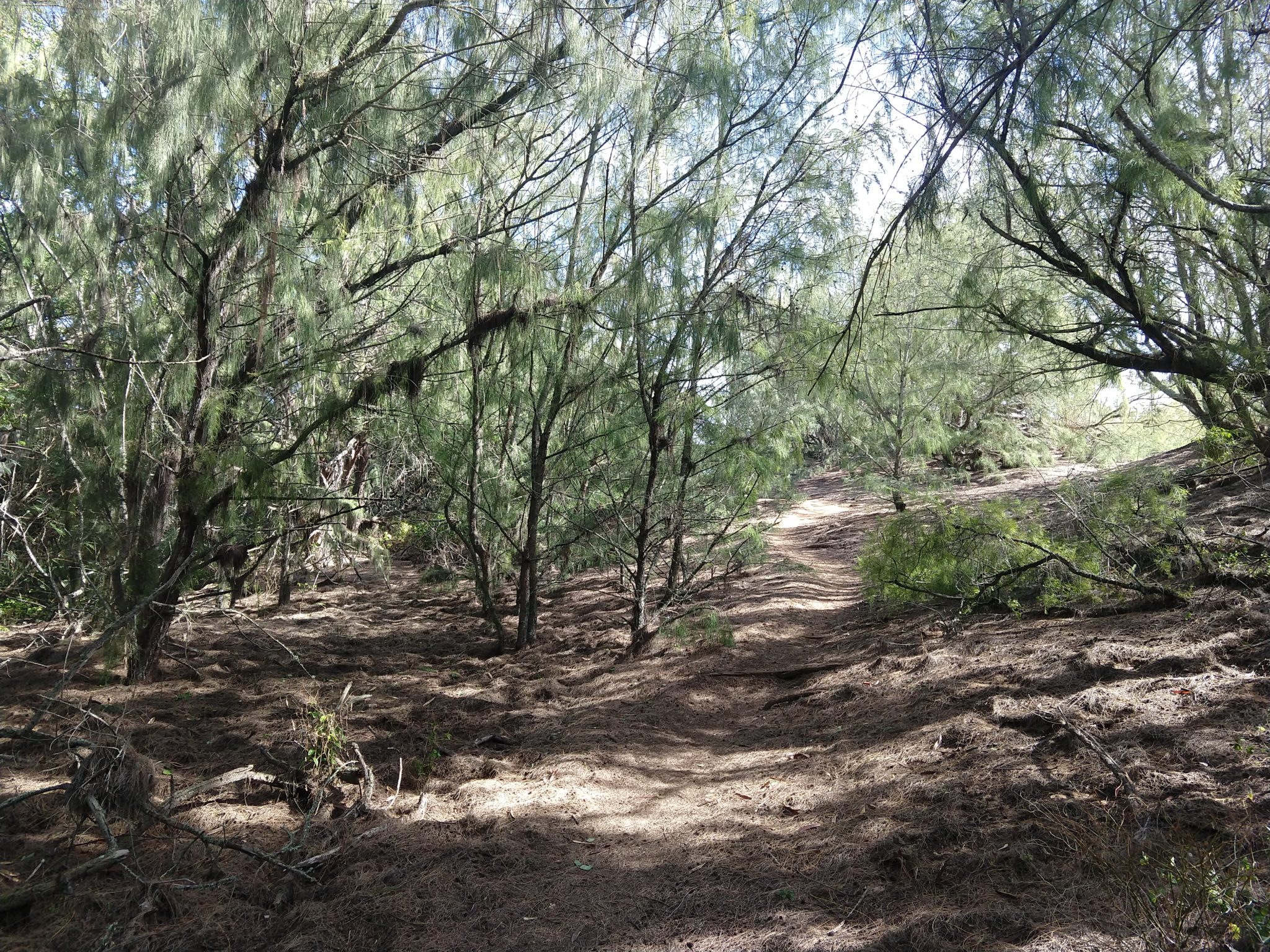
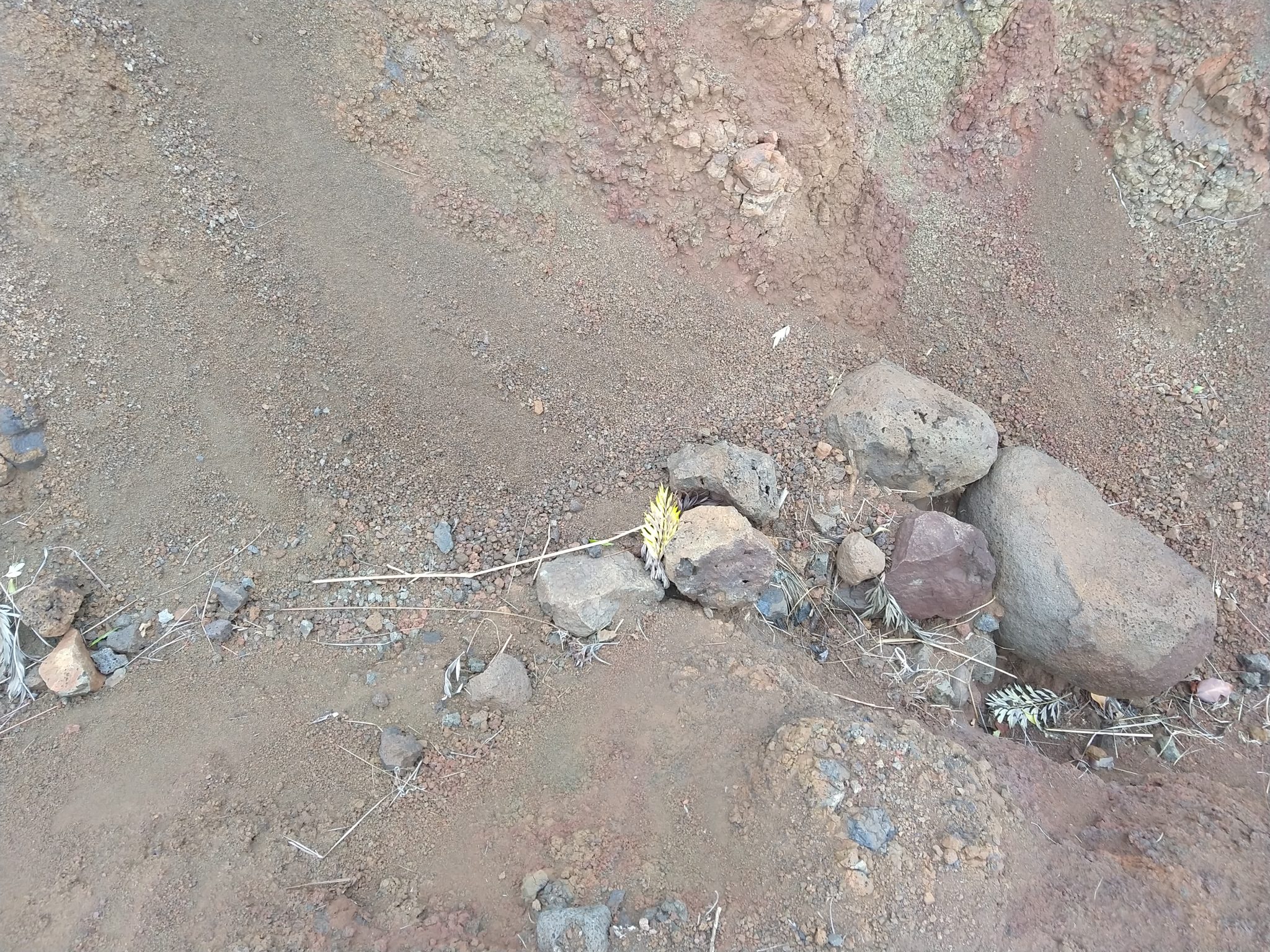
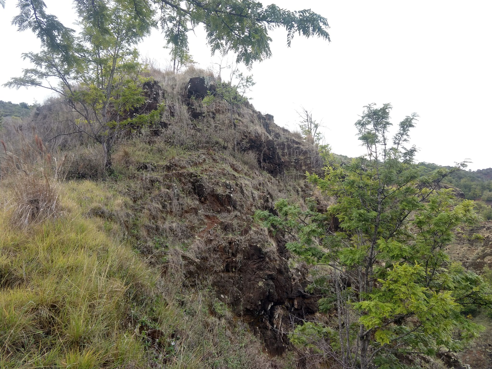
Here are the pics of Kukui Trail:
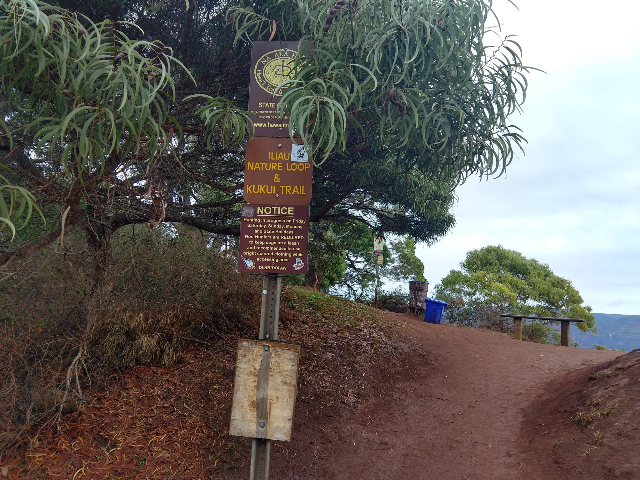
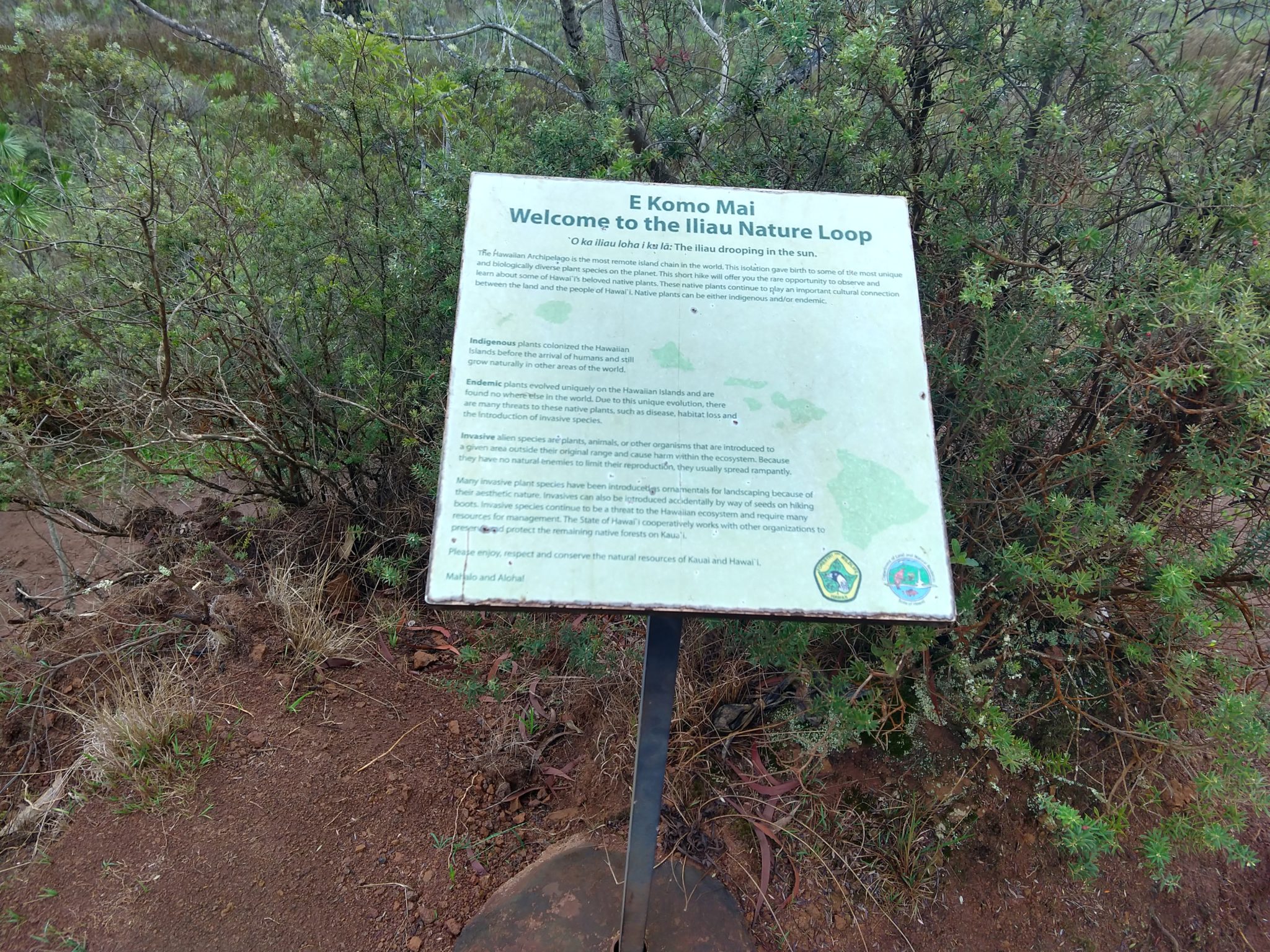
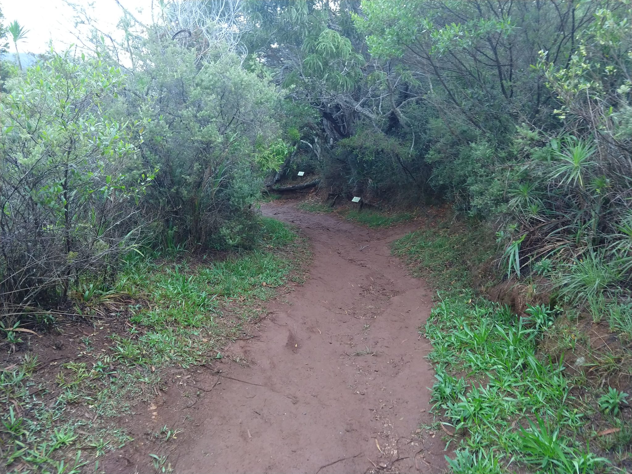
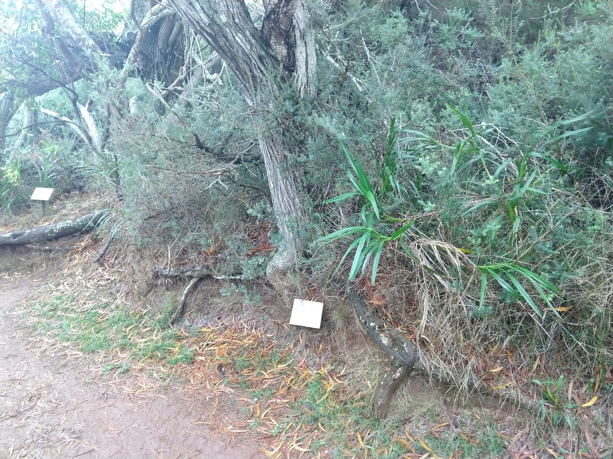
Here are the pics of the Iliau Nature Loop Trail:
Here is a picture of Stevie Sticks, the random branch that Kauai provided when I needed something to keep me upright, which happened to be the perfect size for the trek: