You are using an insecure version of your web browser. Please update your browser!
Using an outdated browser makes your computer unsafe. For a safer, faster, more enjoyable user experience, please update your browser today or try a newer browser.
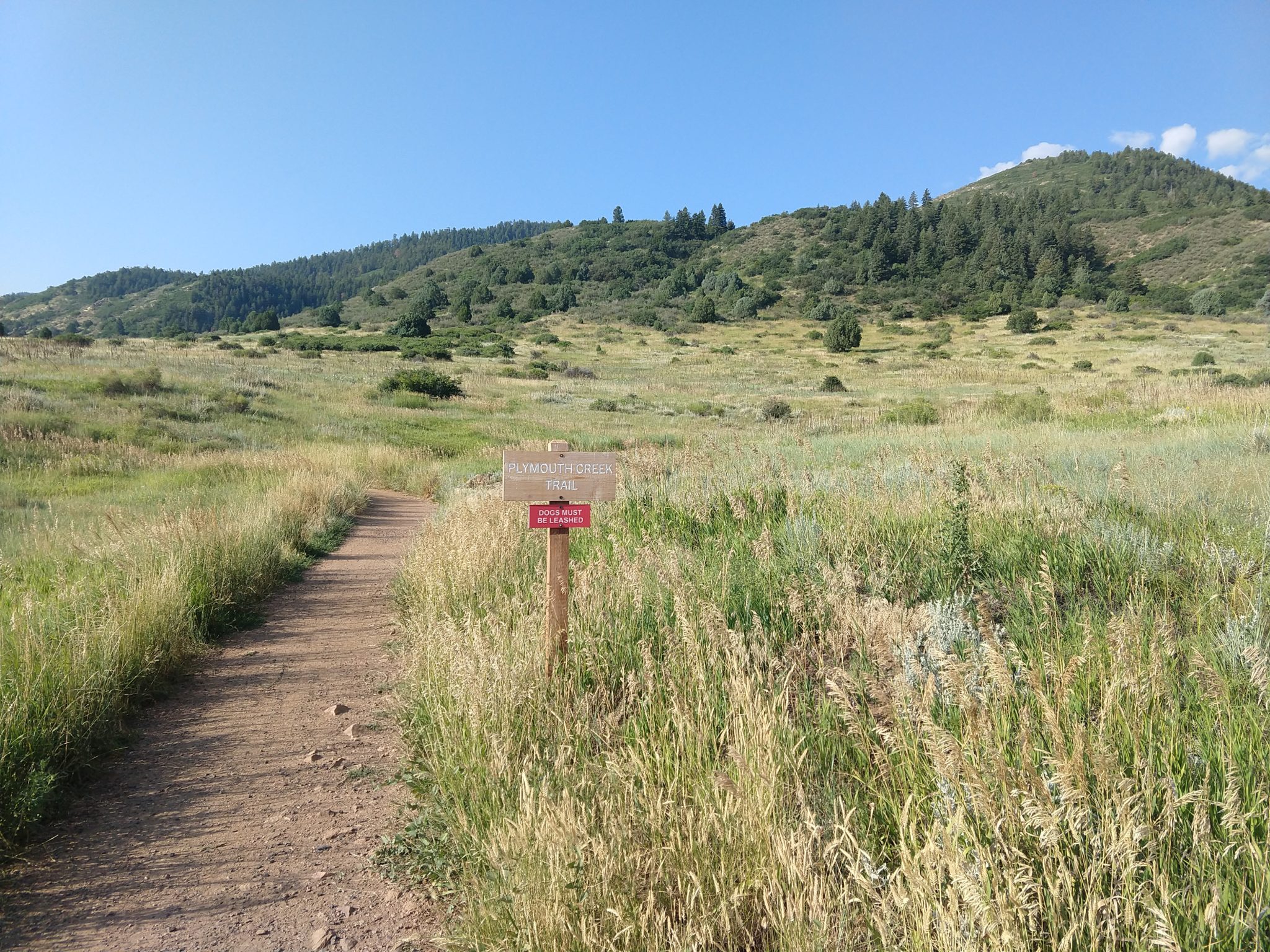
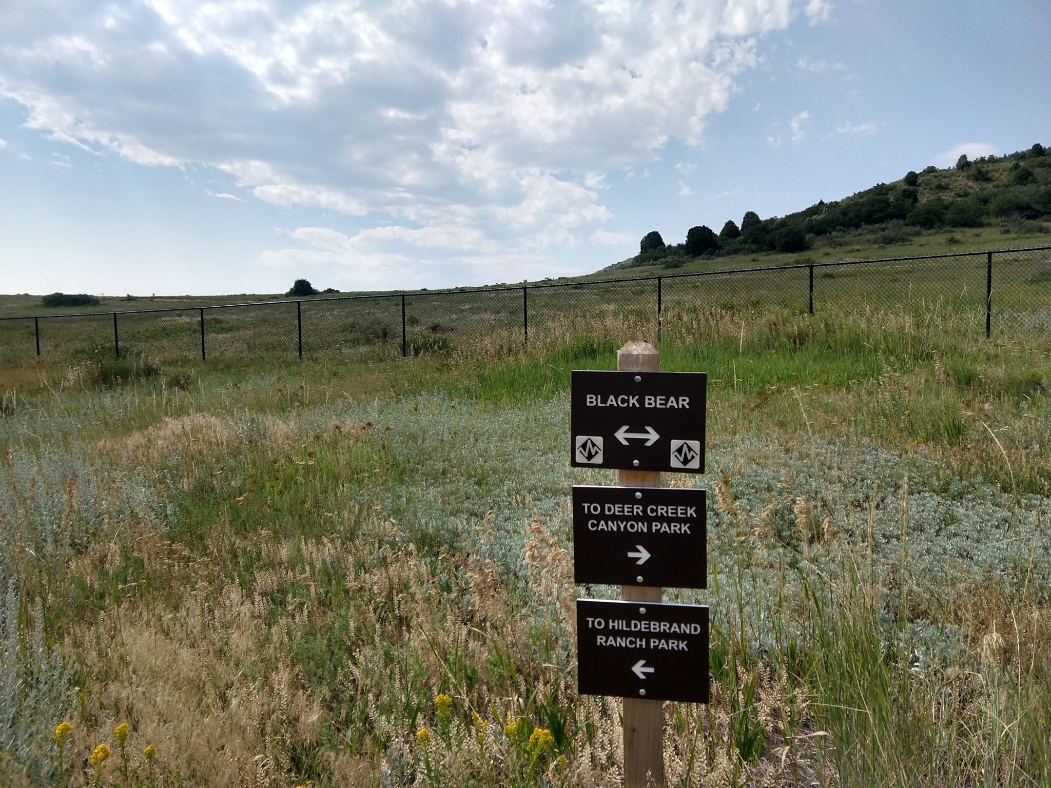
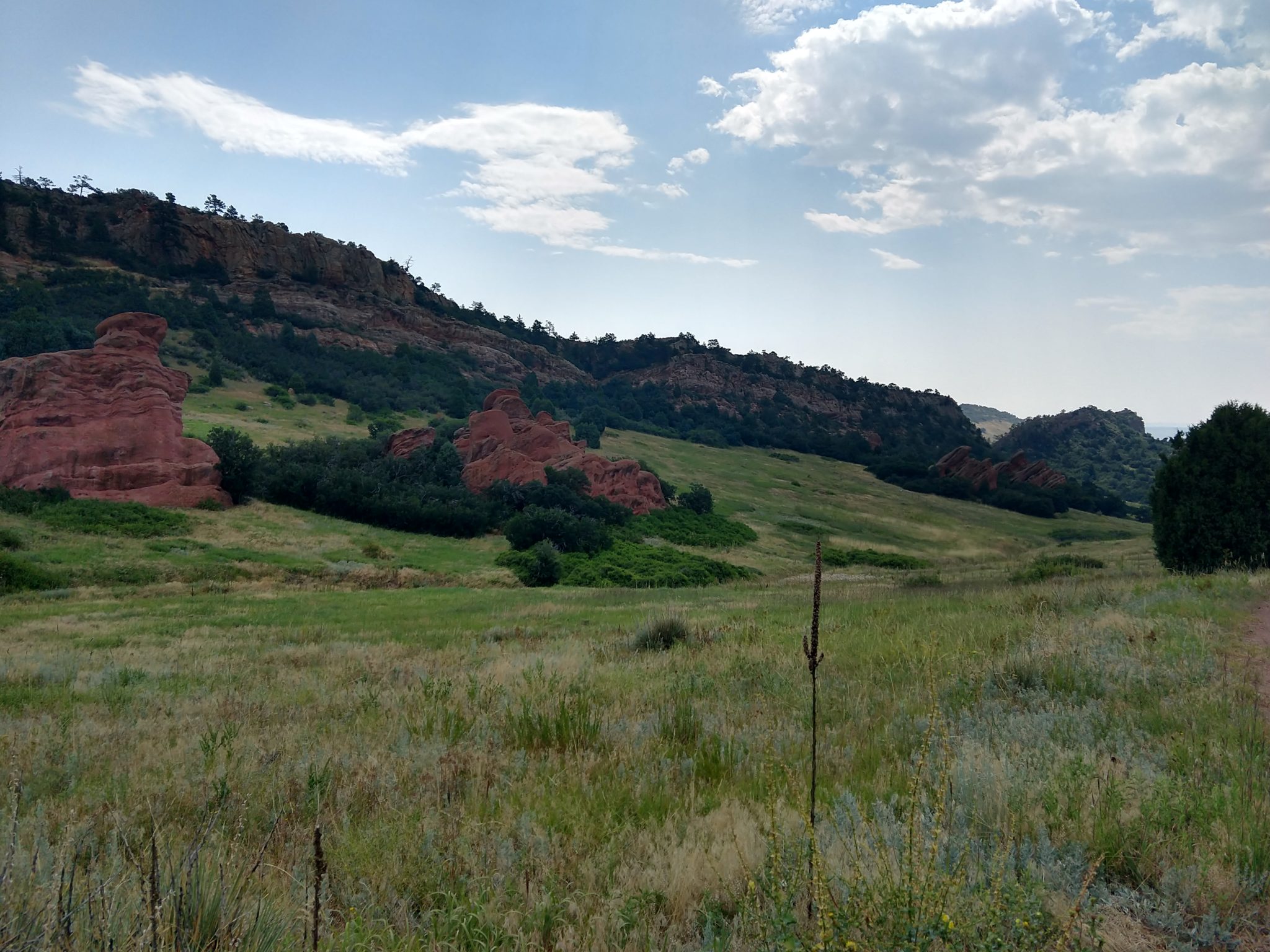
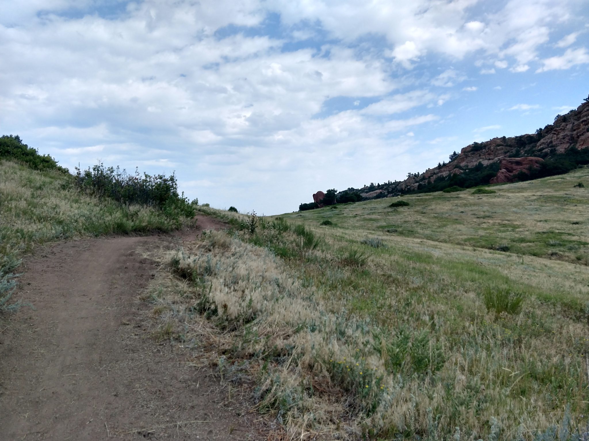
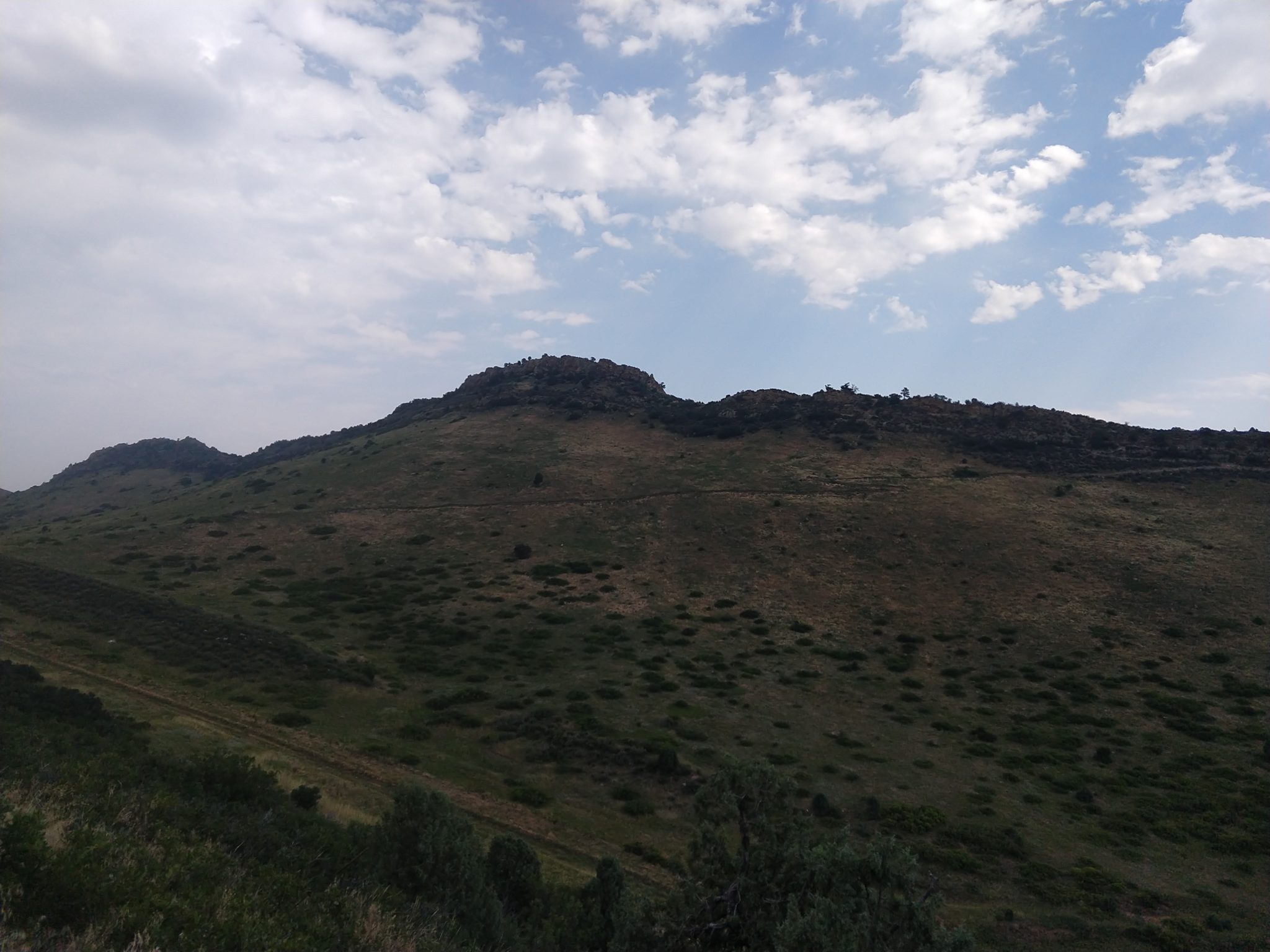
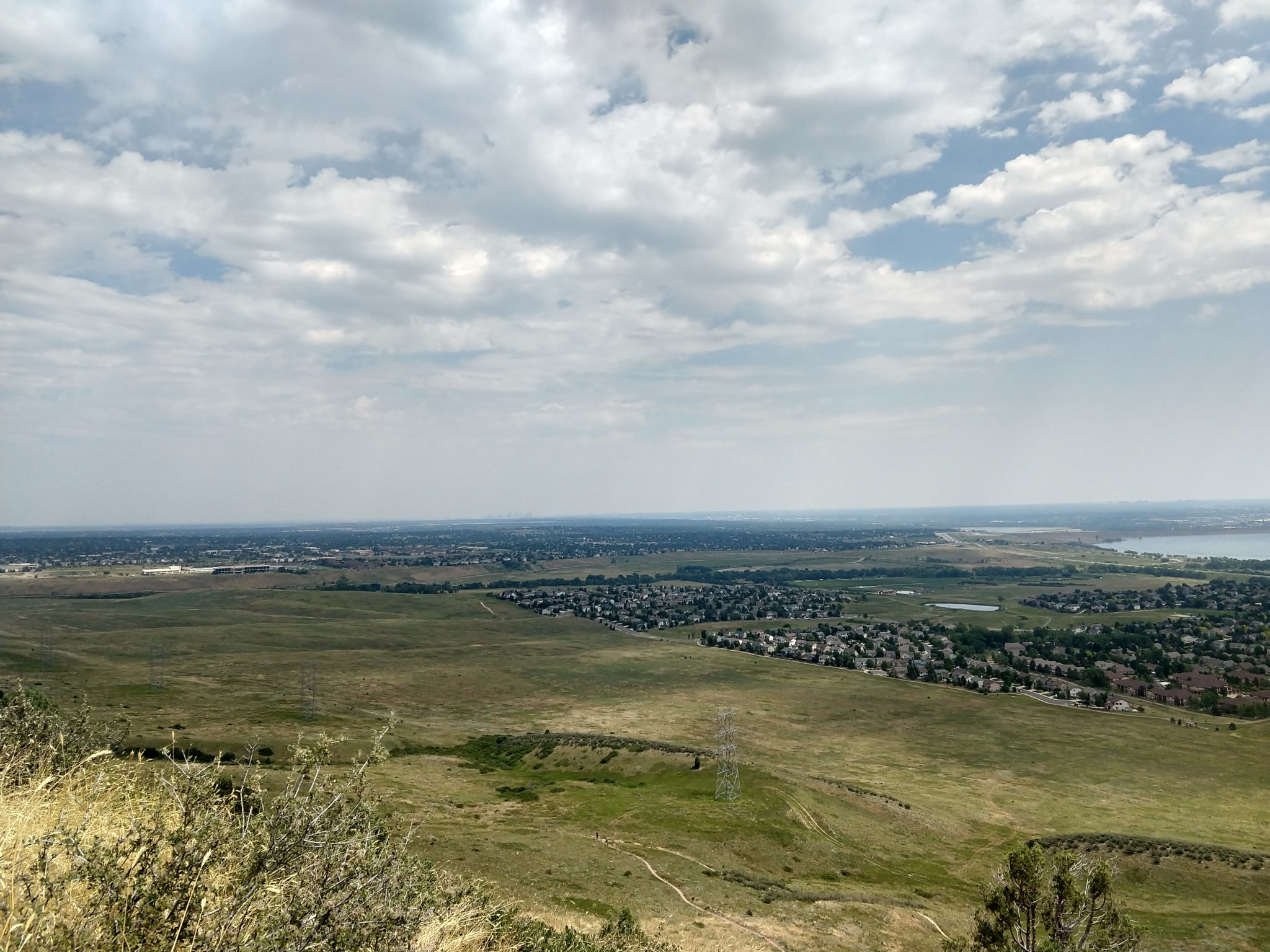
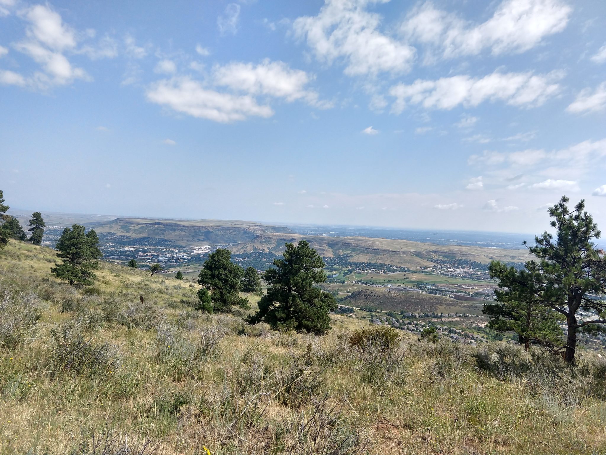
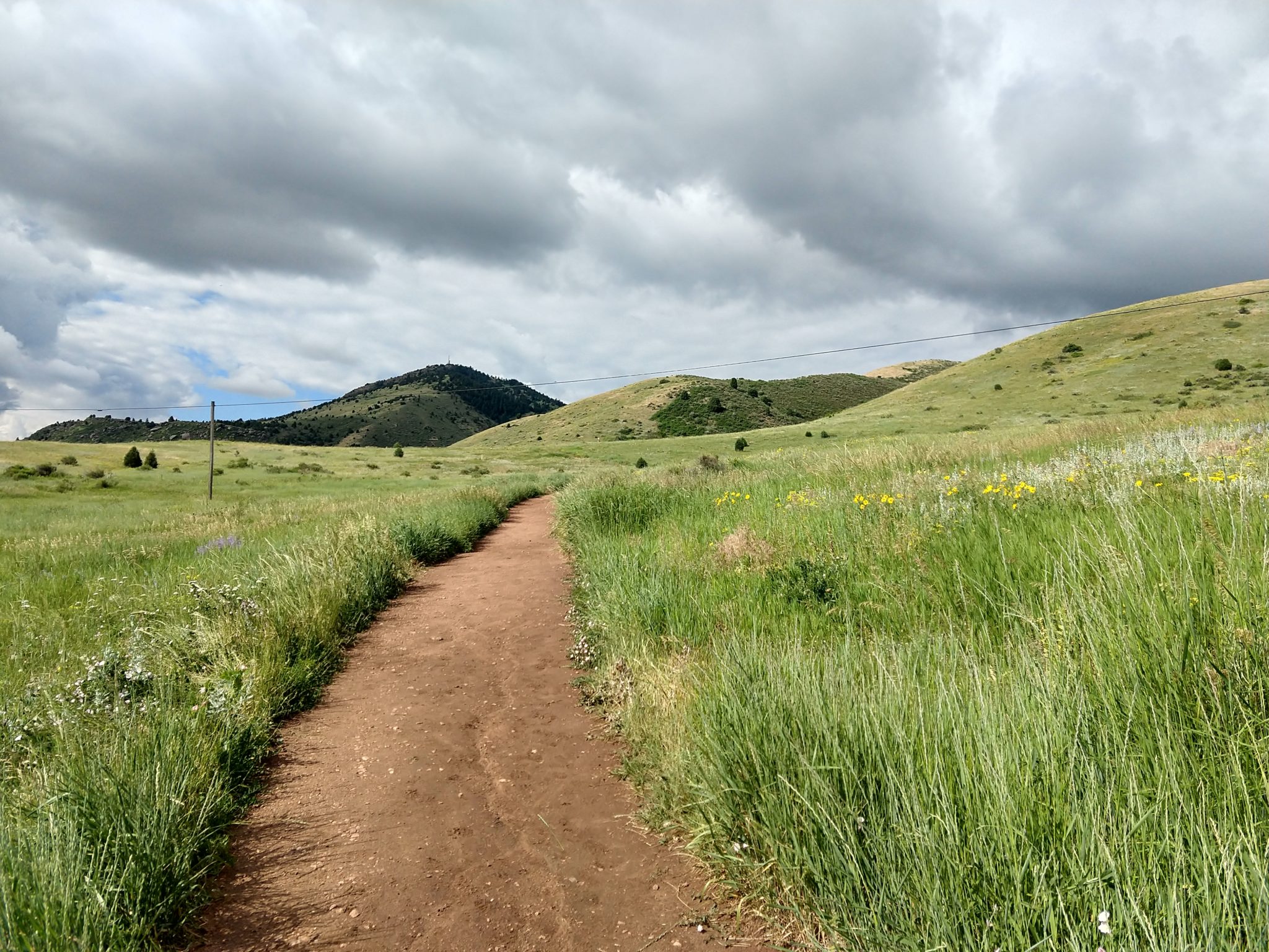
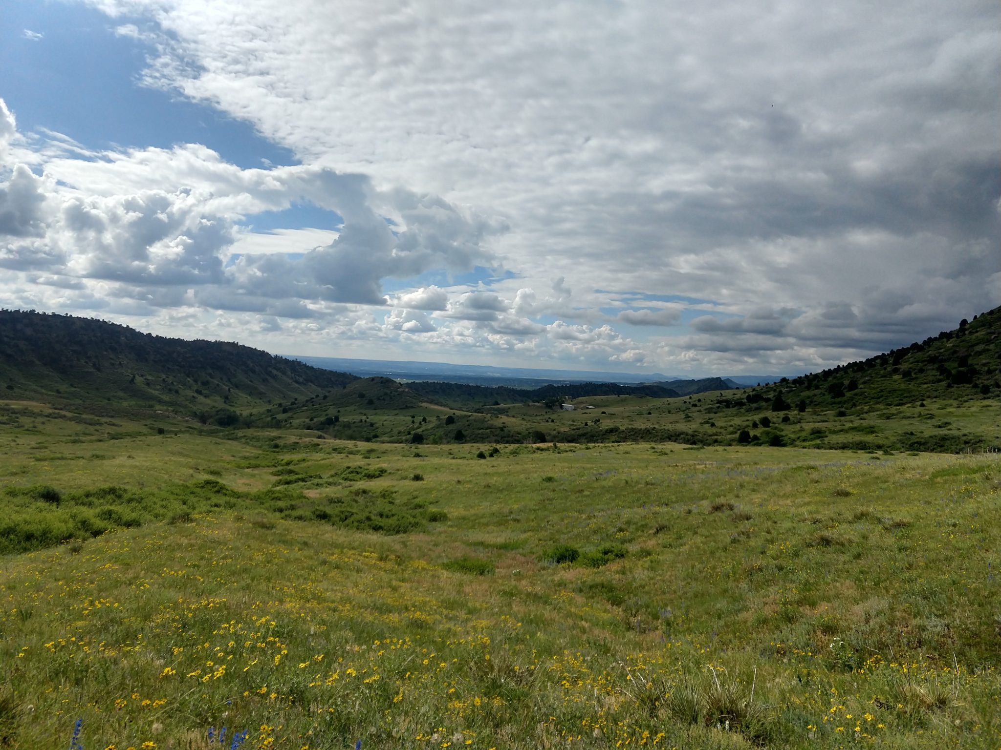
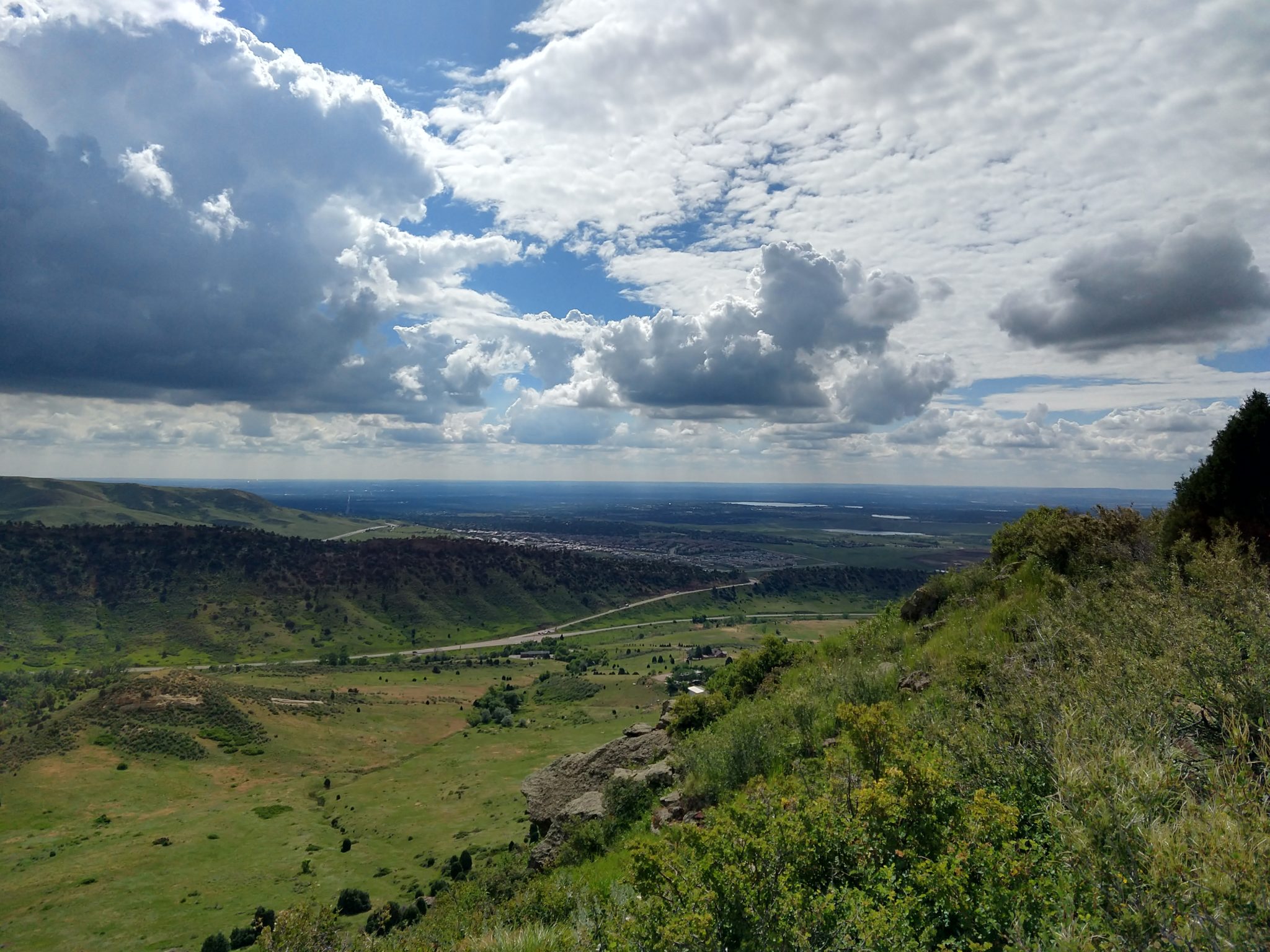
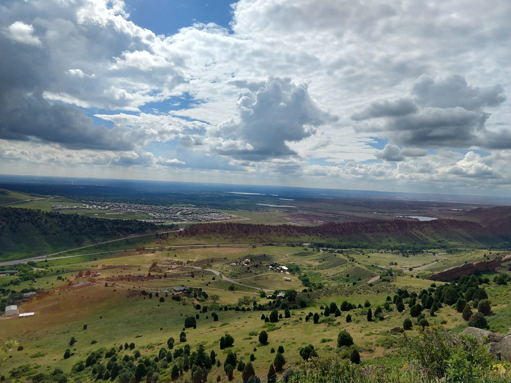
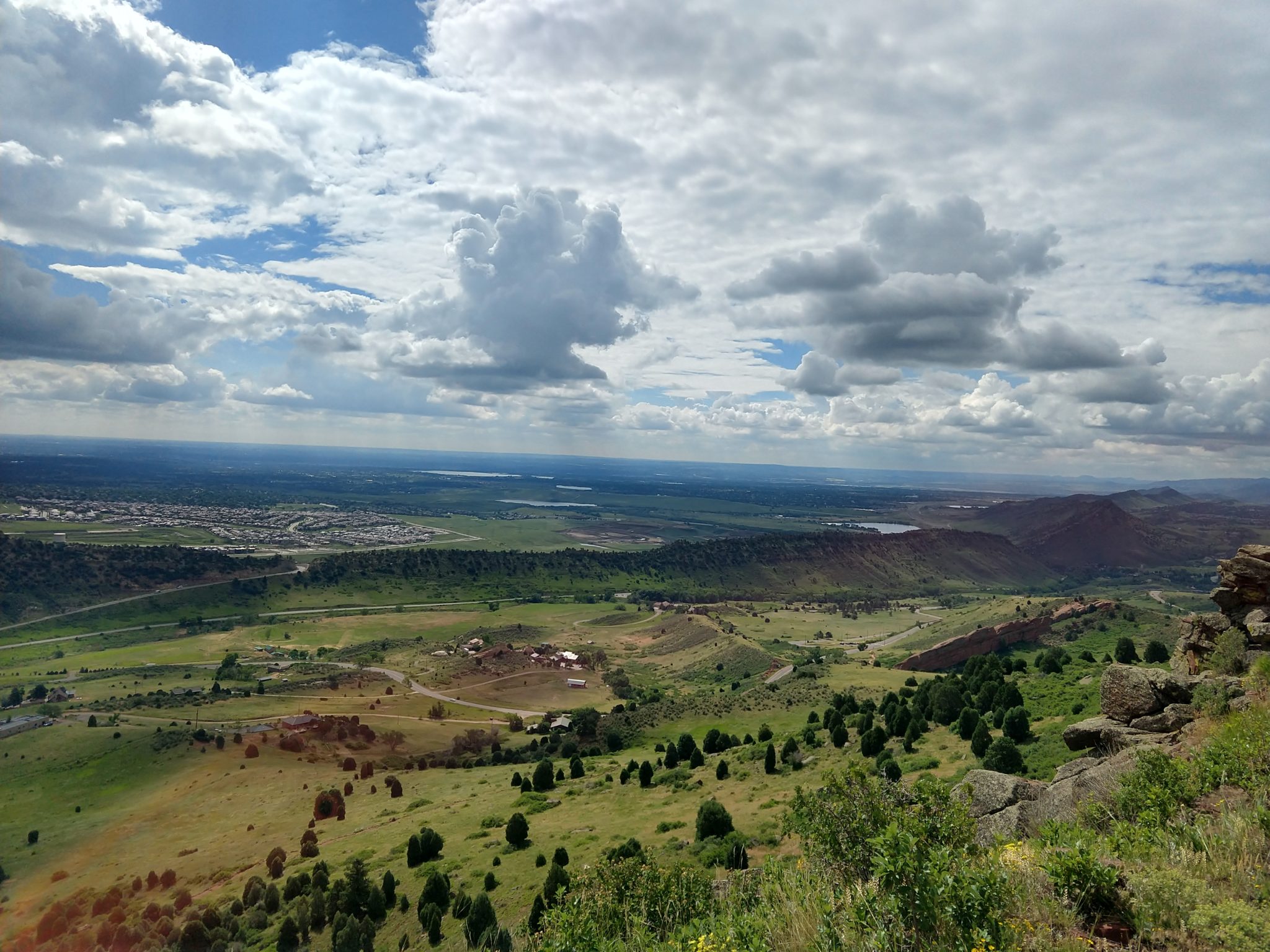
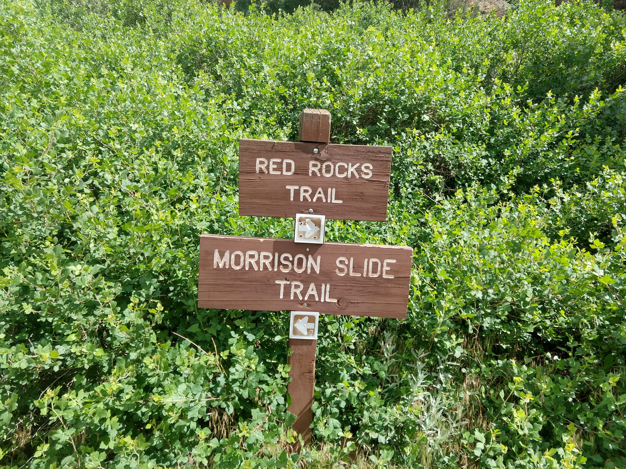
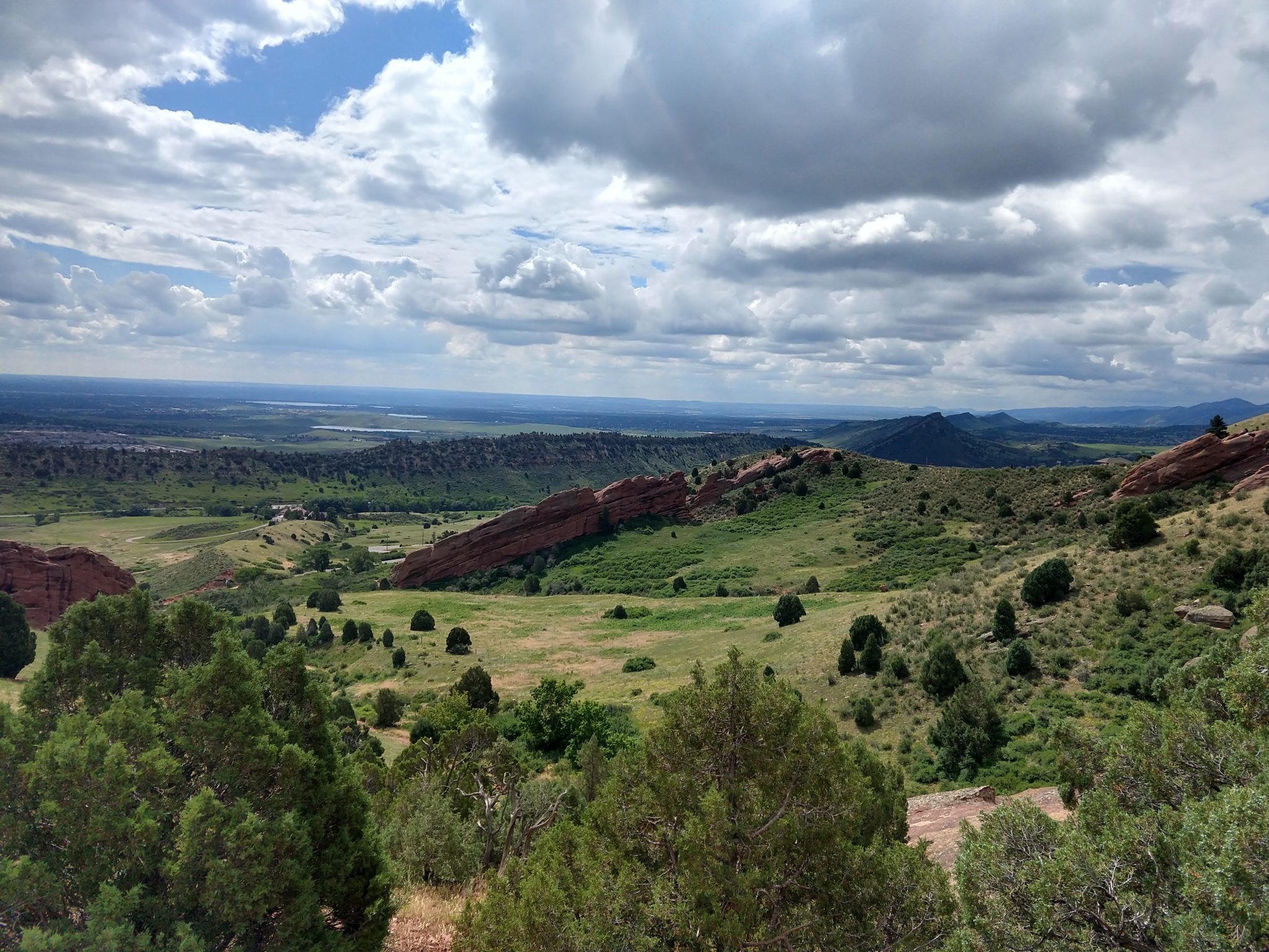
This was another AllTrails discovery near our house that I had no idea existed. The even-day trail hike is quite pretty with the benefit of NO BIKES ALLOWED. I love this trail and it will go in my rotation of favorite local hikes. I did every side hike and this could have easily been shortened to a 6 mile hike in and out hike instead, or as far as you want to go.
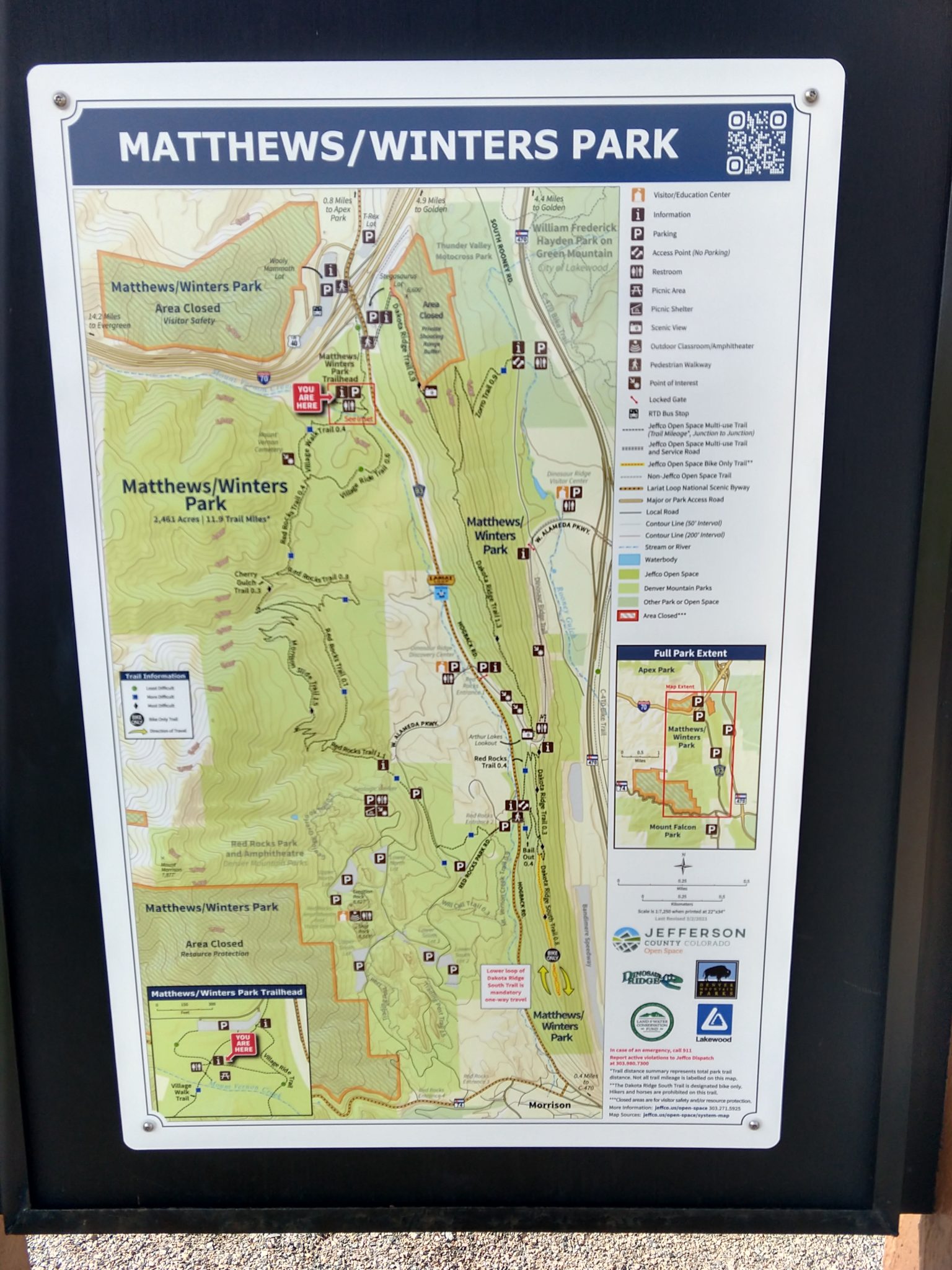
It turns out that Pam designed the parking area and trailhead.
I found this trail years ago when I first starting hiking the Deer Creek Park area and have wanted to do it ever since. I could never get to it because I either wasn’t in town when it was open or not in shape enough.
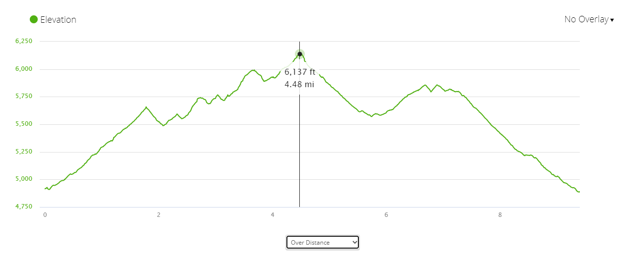
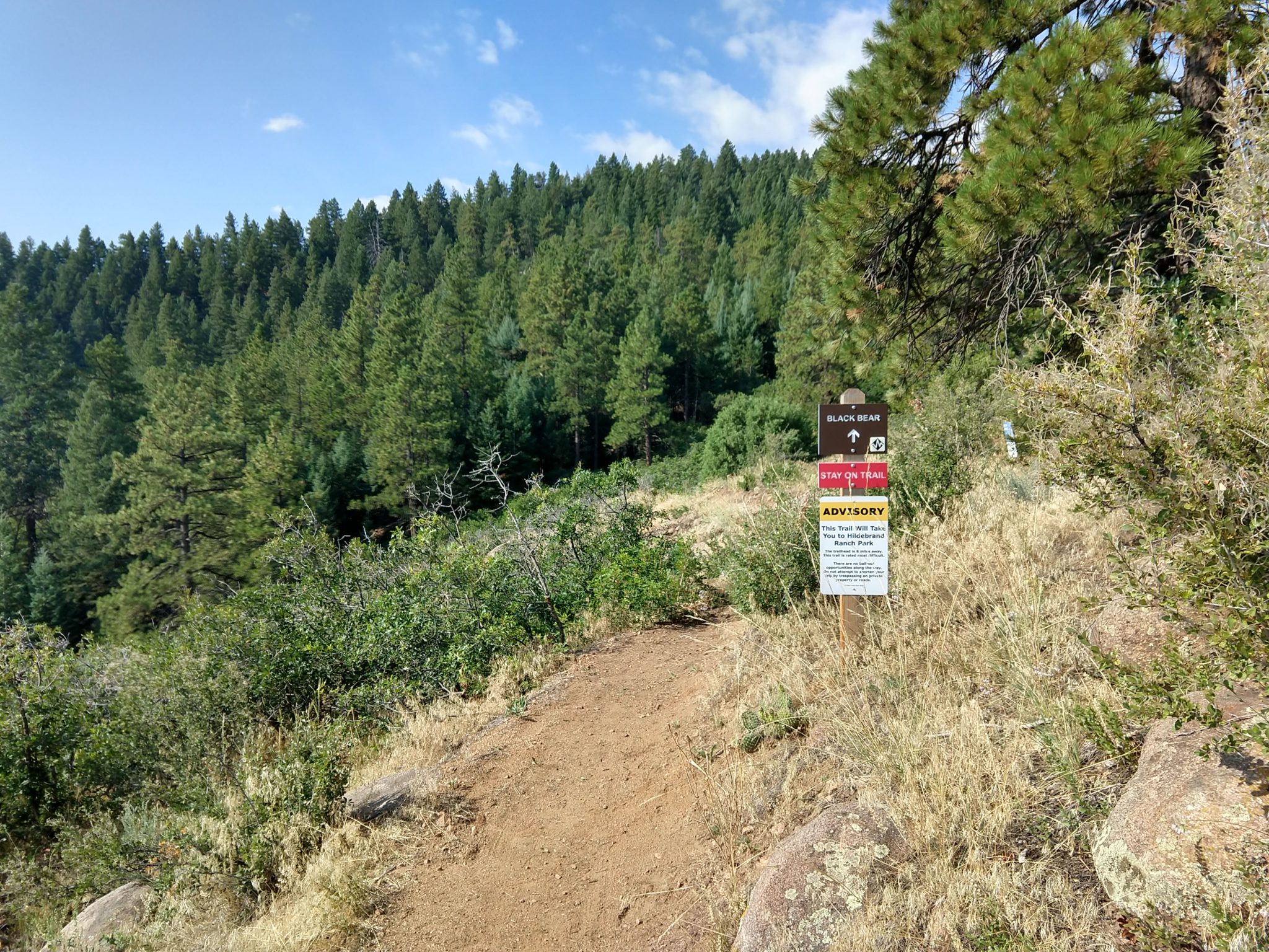
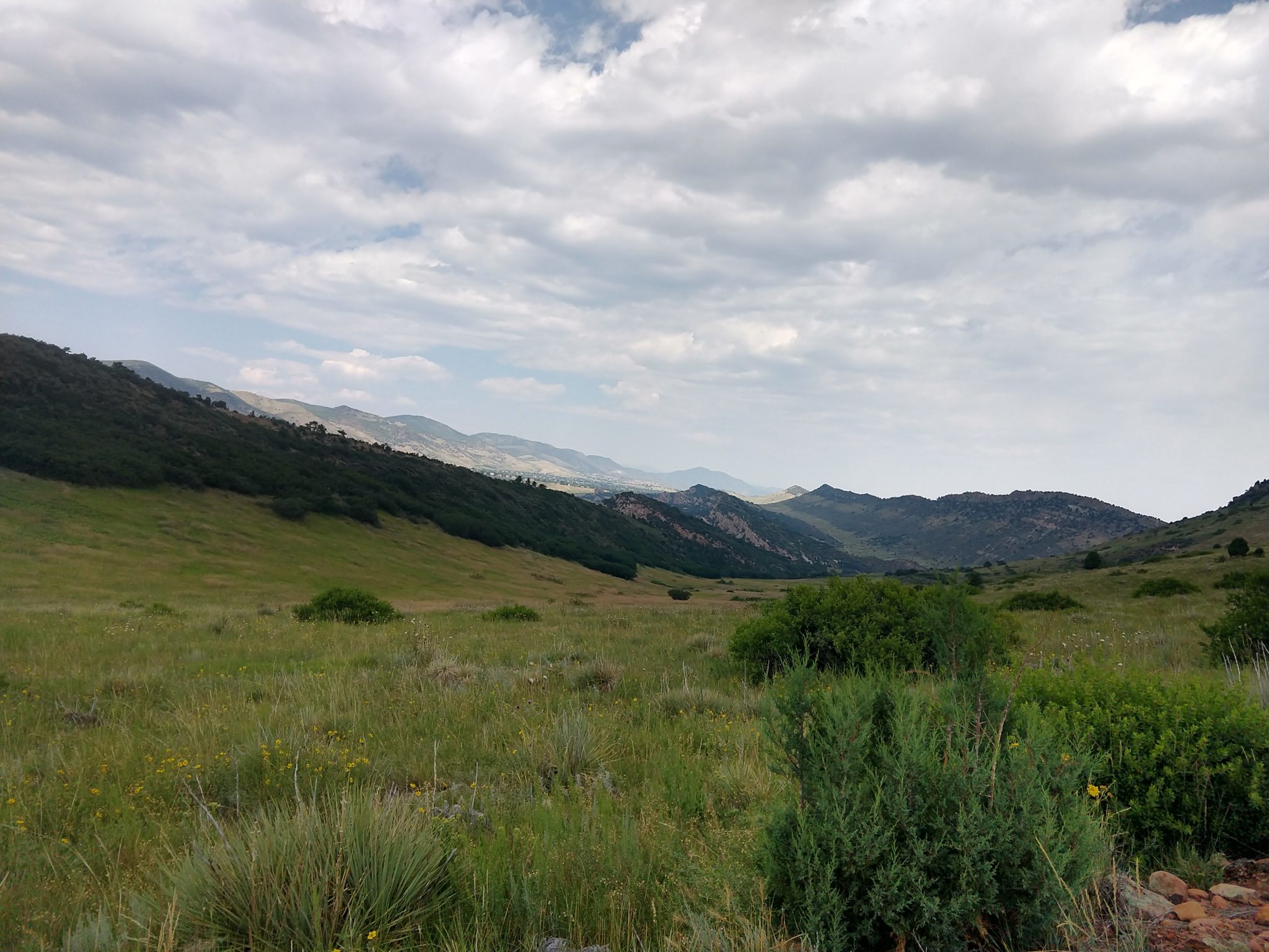
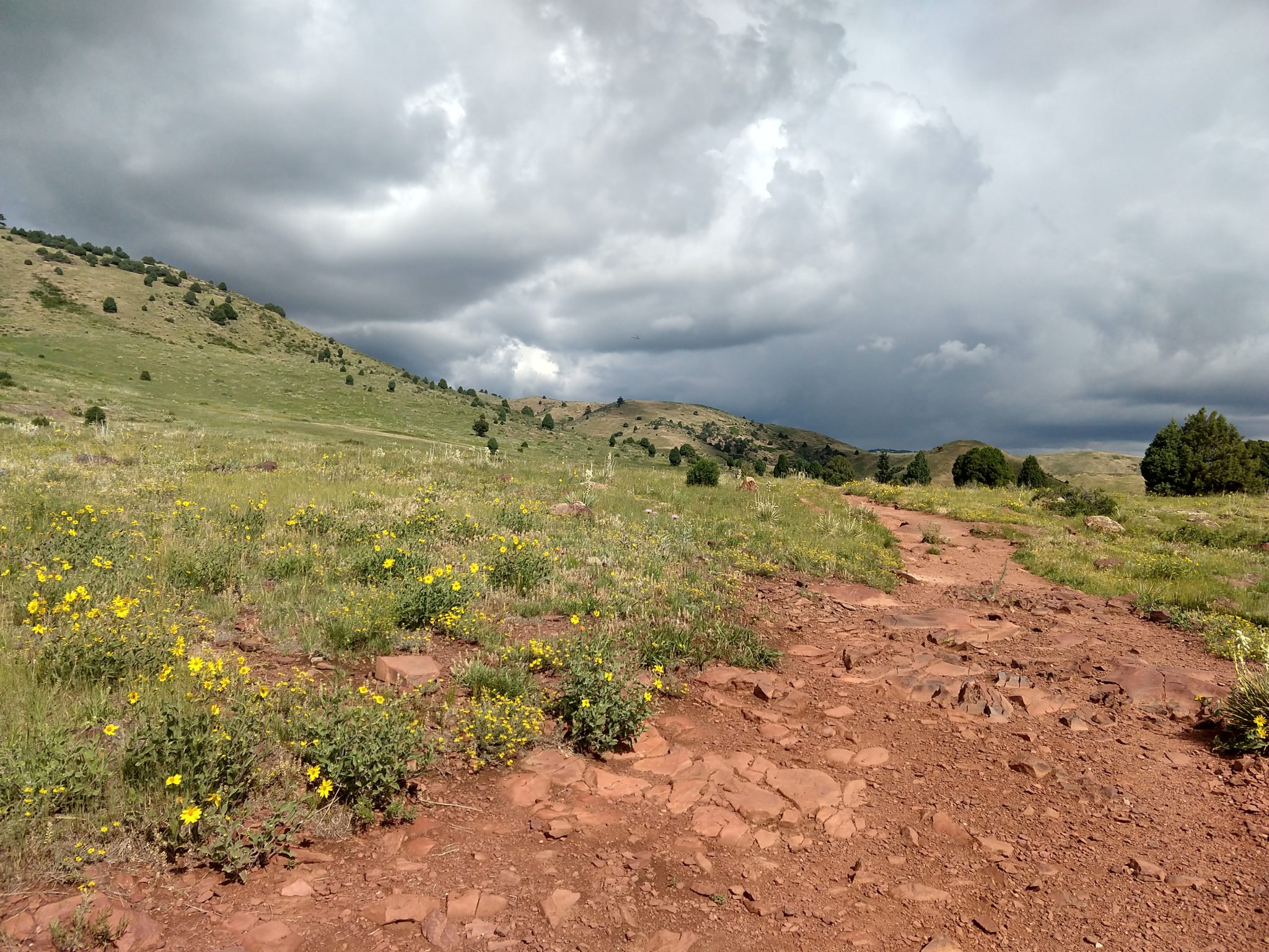
It’s a long hike and we dropped the leaf at Hilderbrand Ranch Park and Lina dropped me off at Deer Creek. This is definitely the way you want to do this trail. It looks like it would be a loooong slog uphill for a long distance the other way.
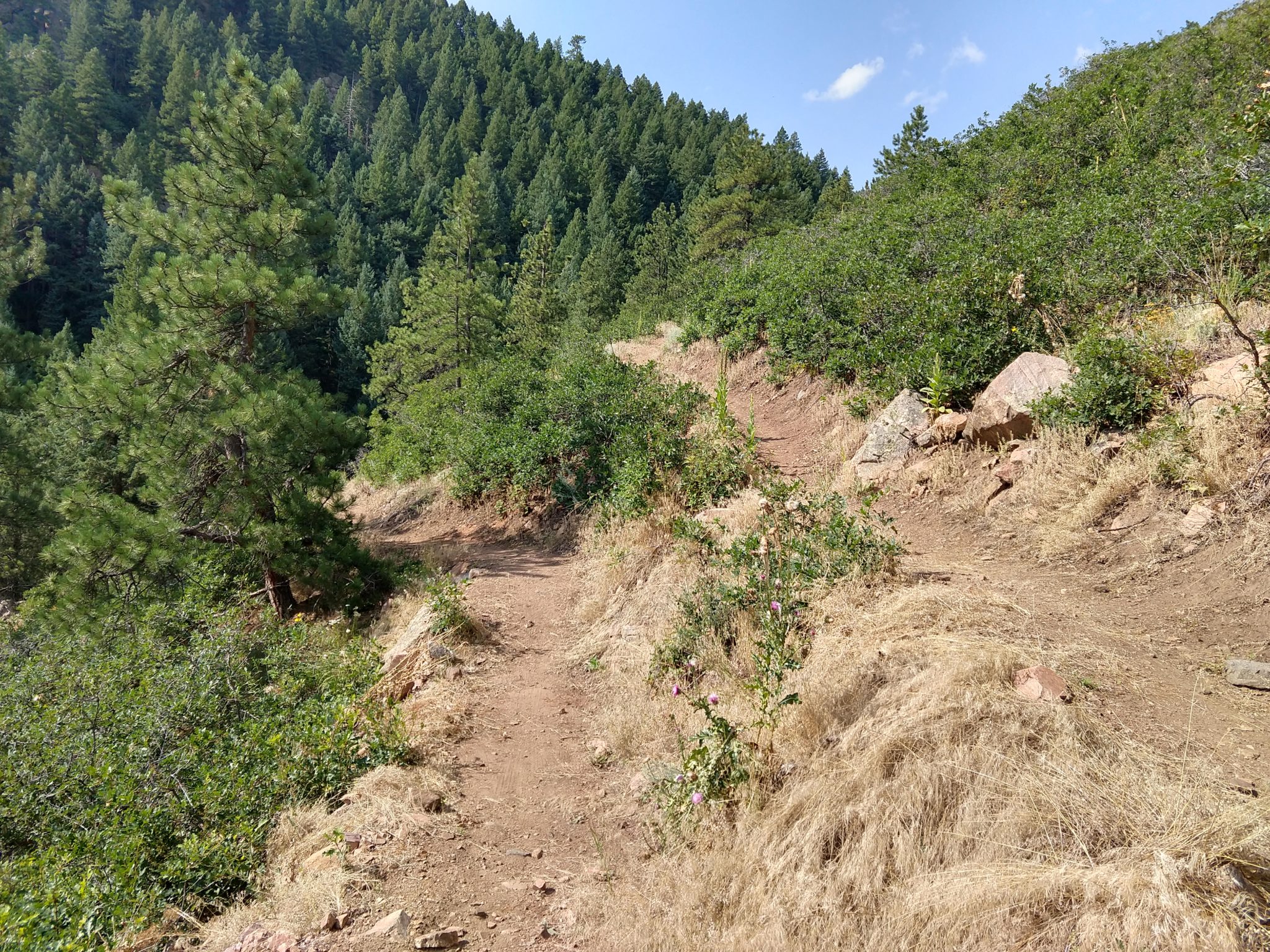
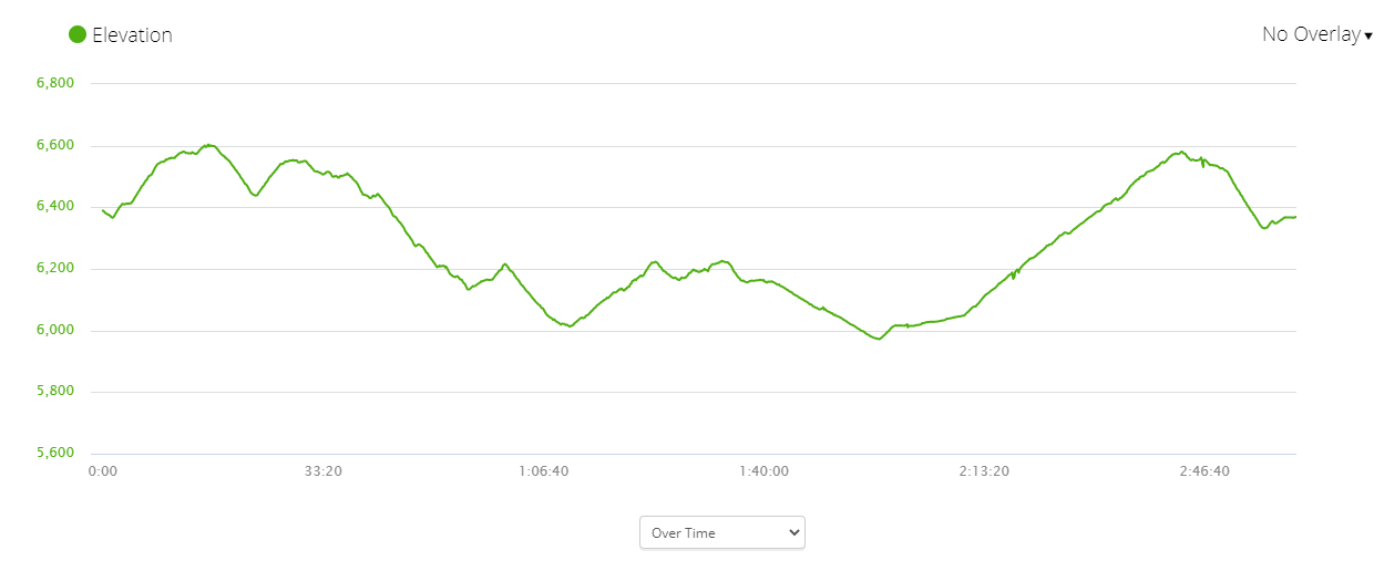
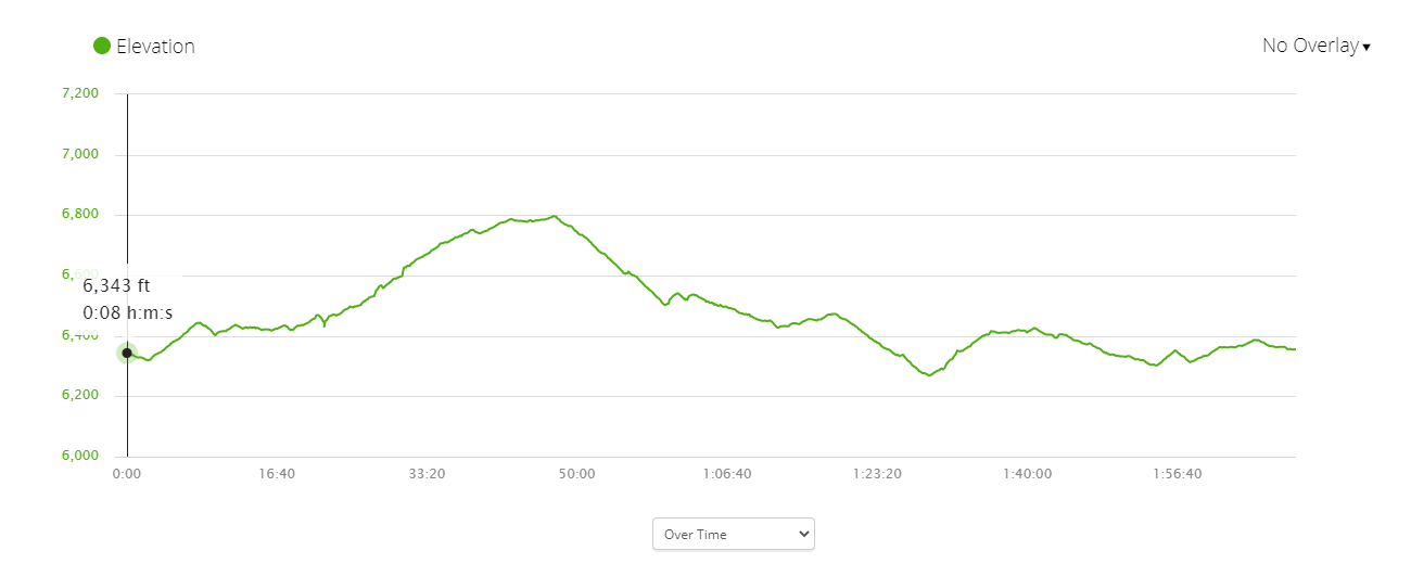
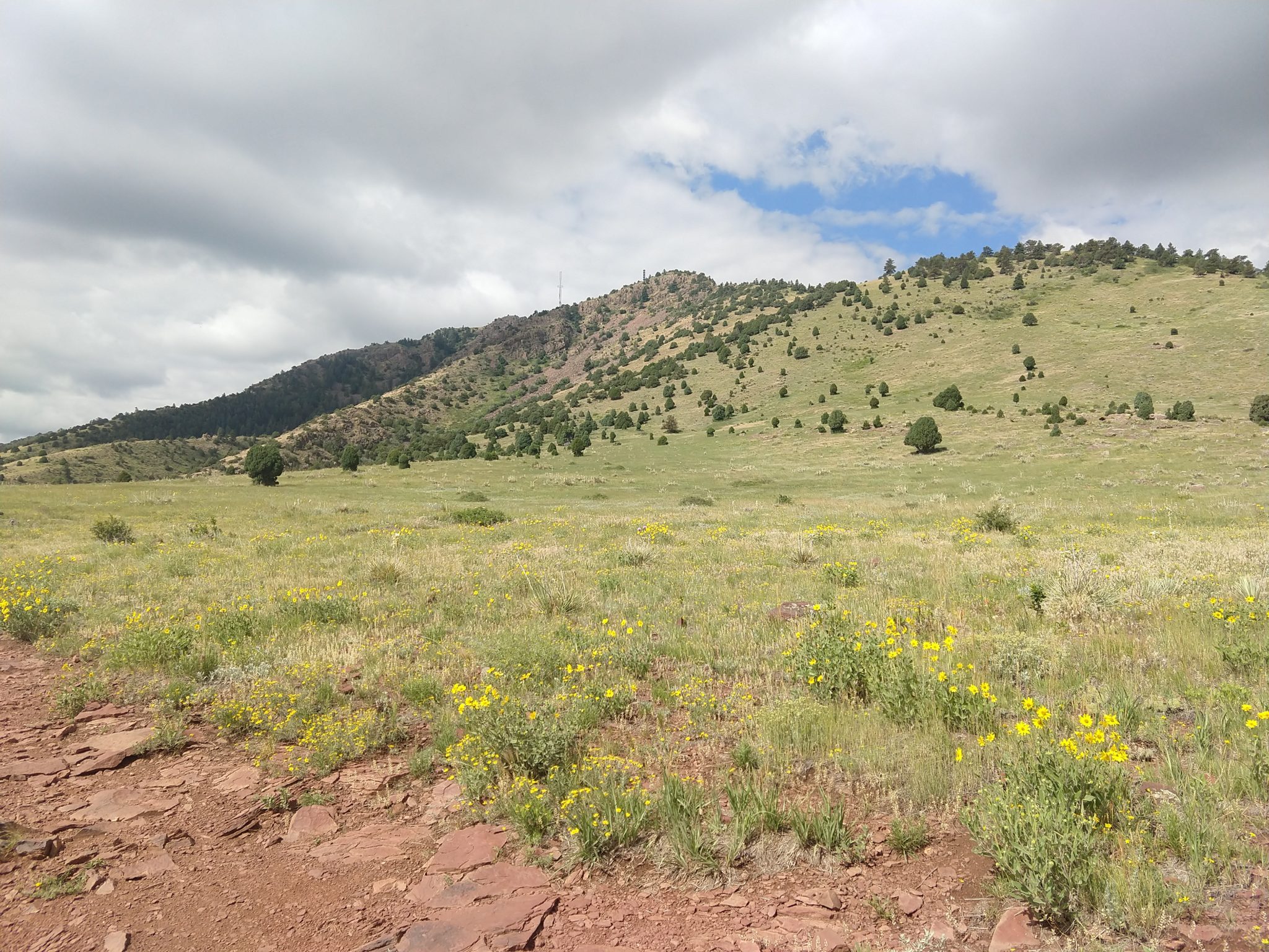
I’ve been putting in the miles so I thought I was ready for this one finally, but it took a lot out of me for some reason. I felt fine as long as I kept moving, but I could never catch my breath when I stopped. I even took a 15 minute break around mile 7 or 8 and was immediately panting as soon as I started up again.
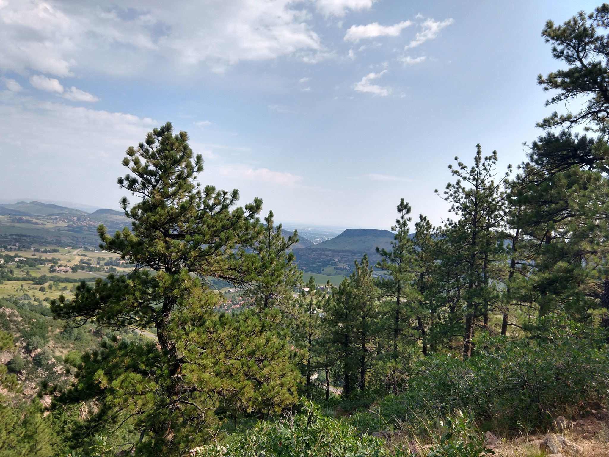
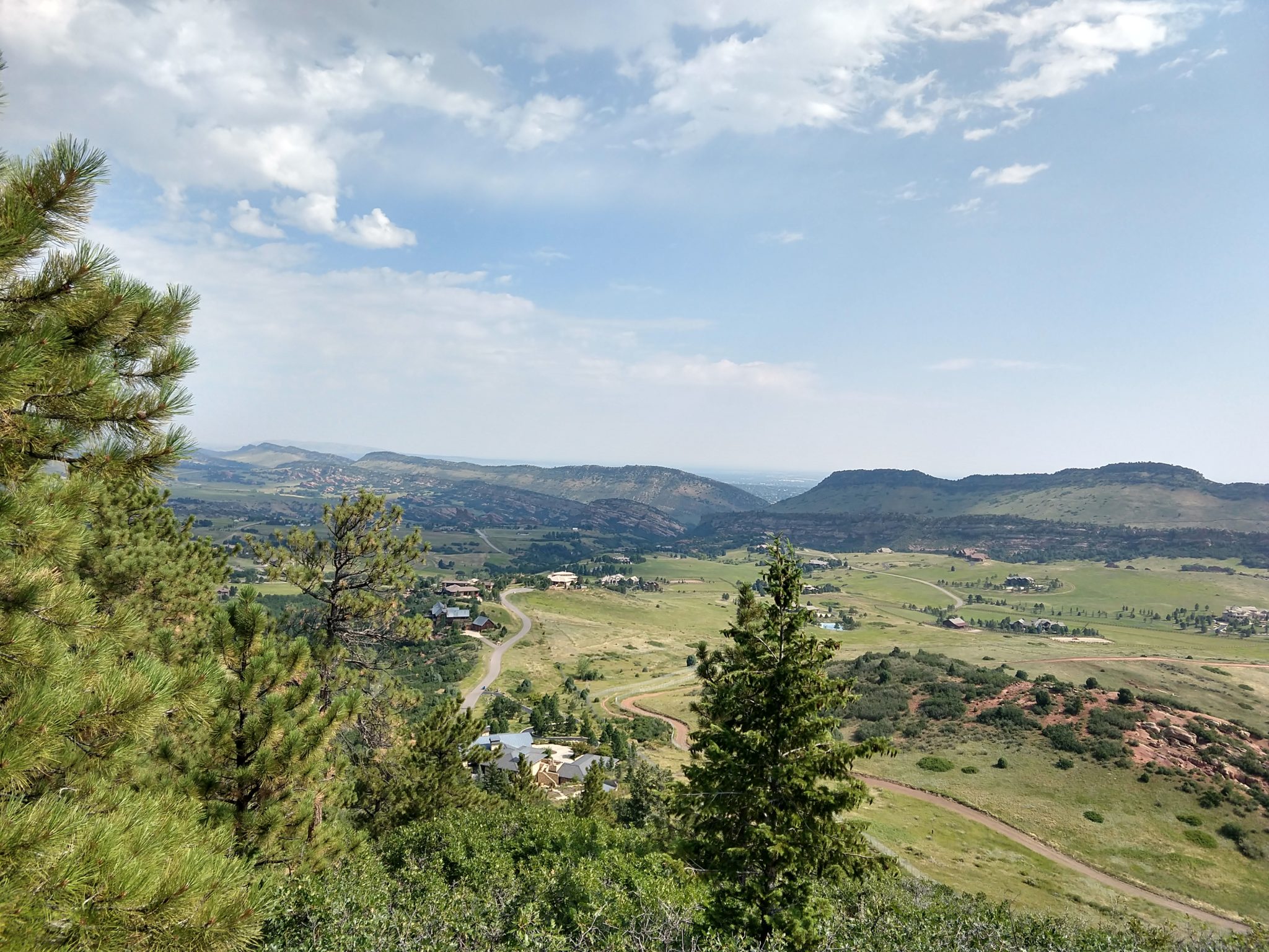
When I sat down at the end of the trail, I couldn’t catch my breath and my arms started vibrating uncontrollably. Turns out that’s a symptom of exhaustion or low blood sugar, but I’m not sure if it was the fact that I fasted for 36 hours before the hike or that we were in the middle of the worst air quality in the world because of the California forest fires.
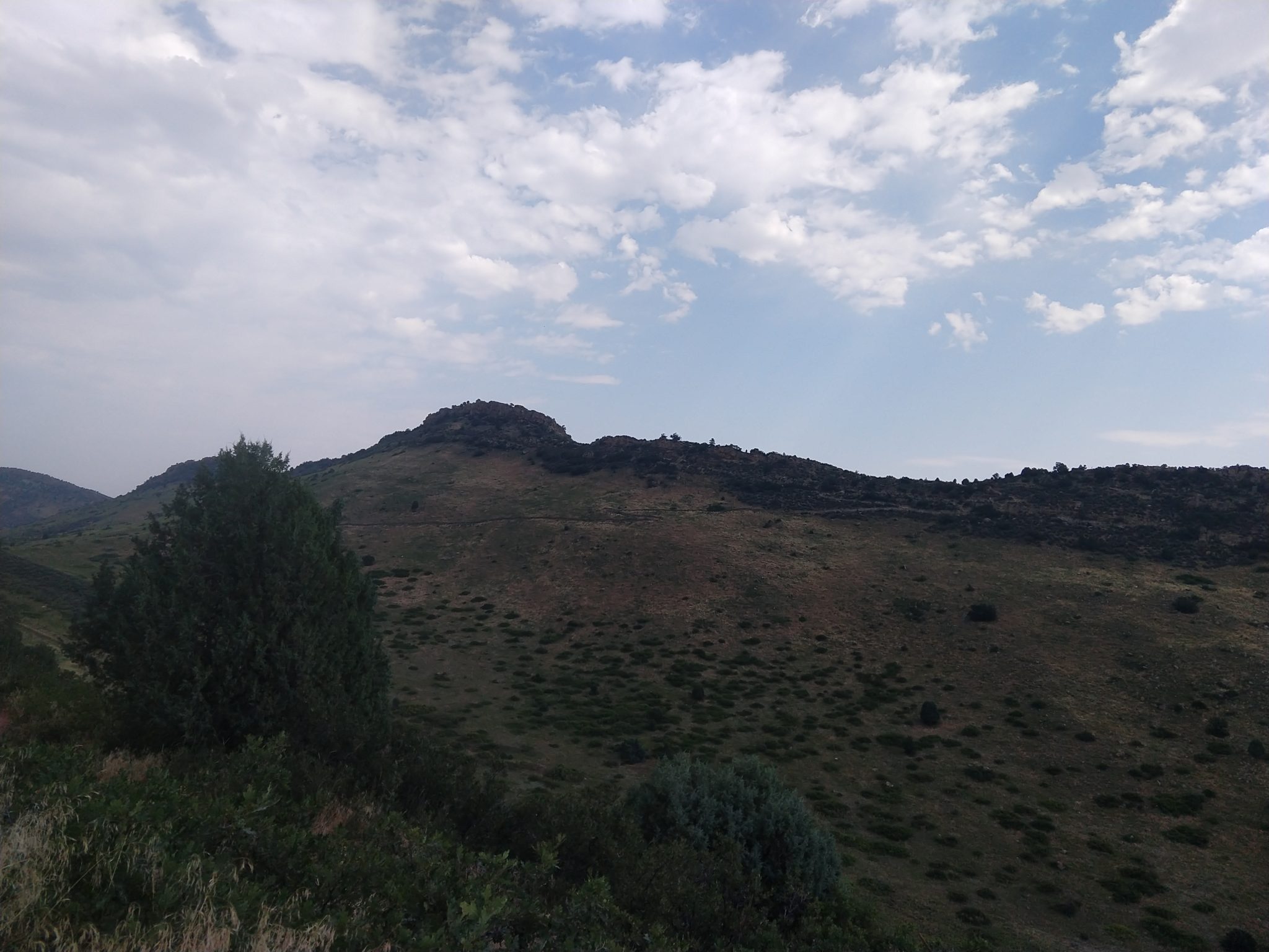
The hike itself was long, but didn’t seem that bad while I was on it, and I did a couple of 8-9+ mile hikes a week or so later with no problems. I’m not sure what happened, but it was scary.
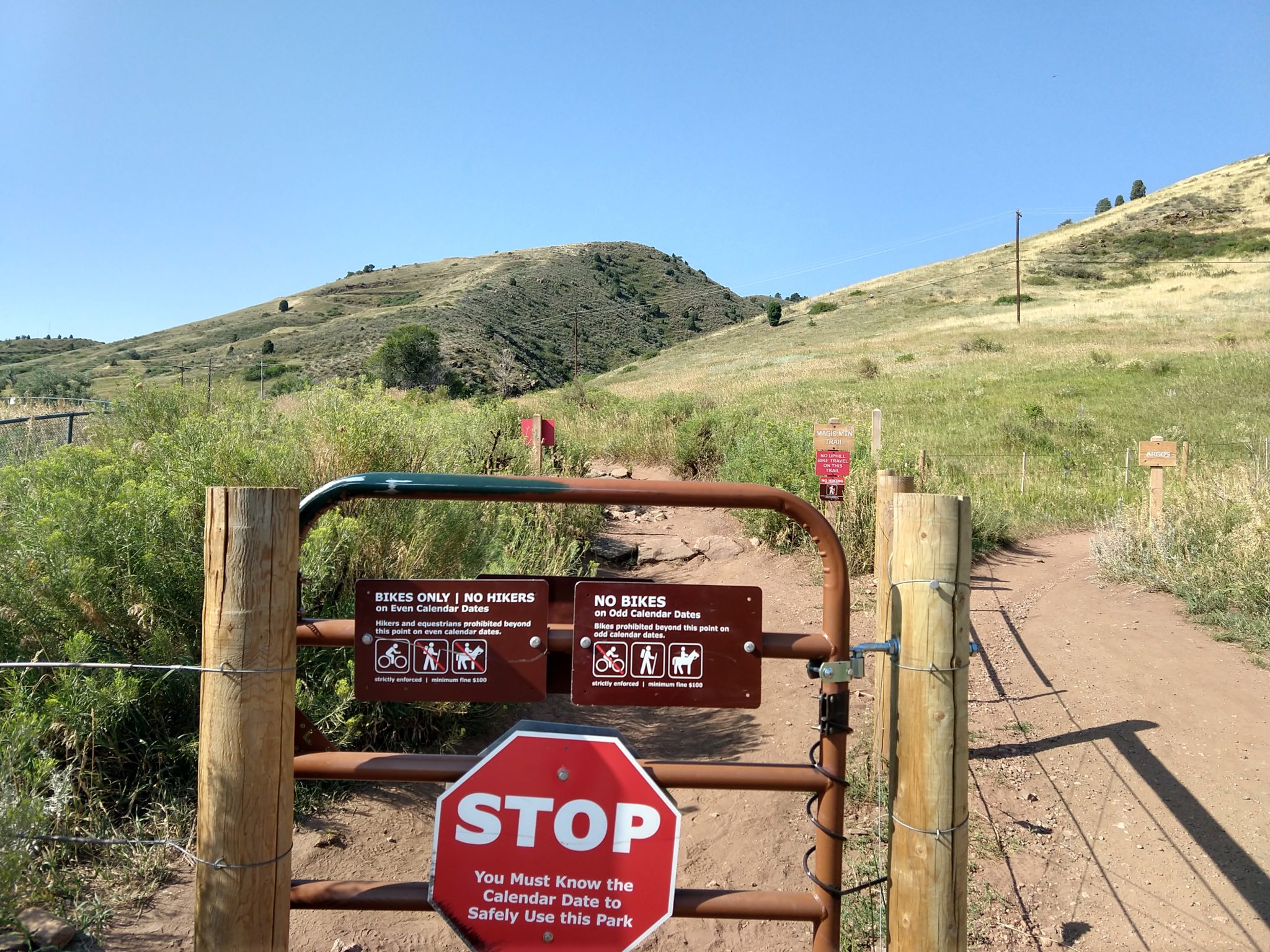
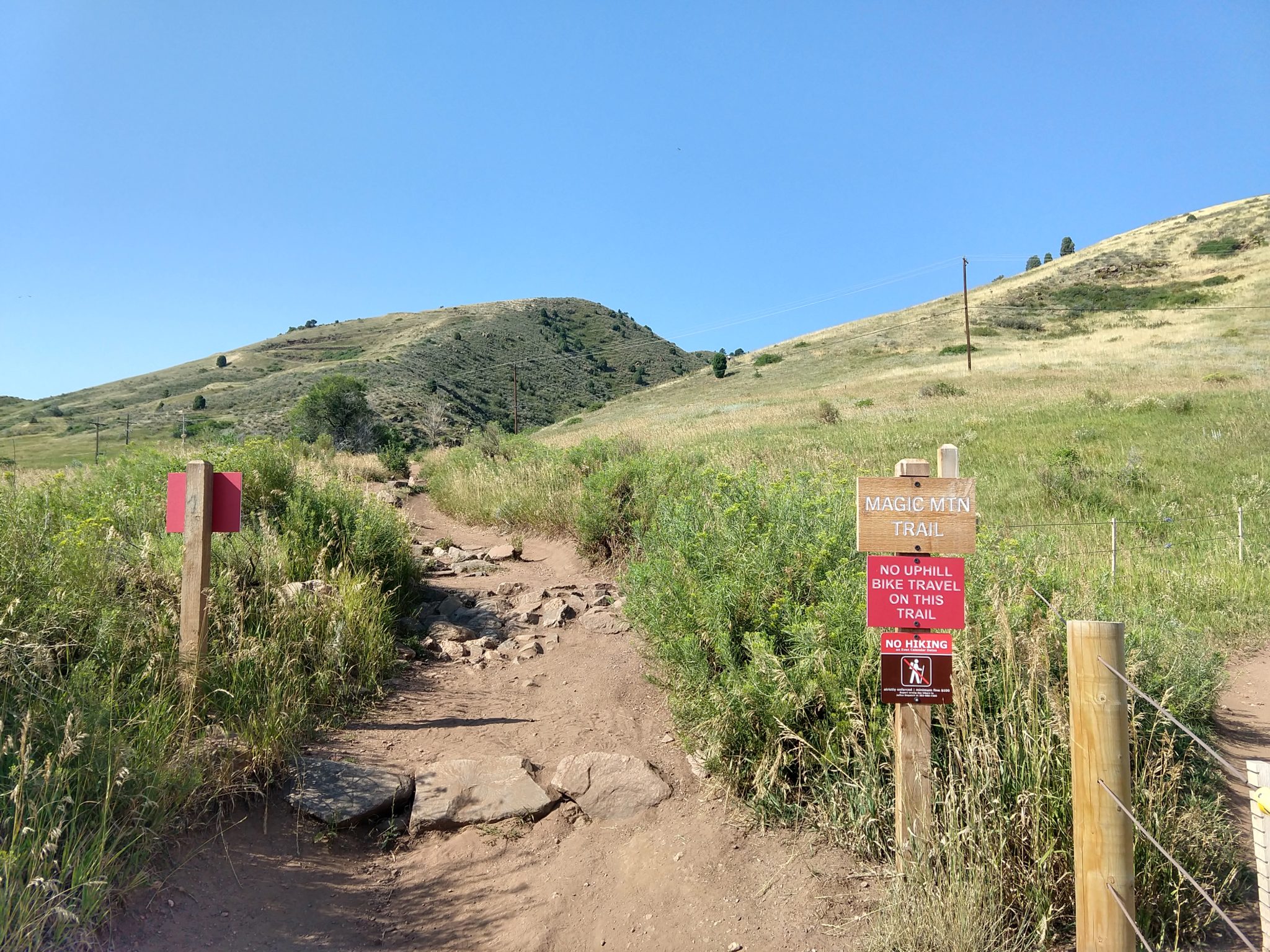
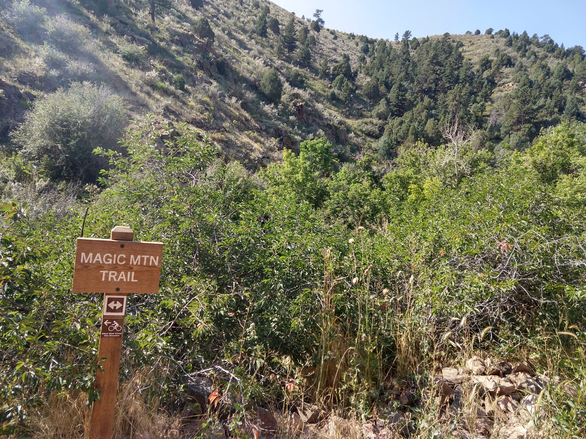
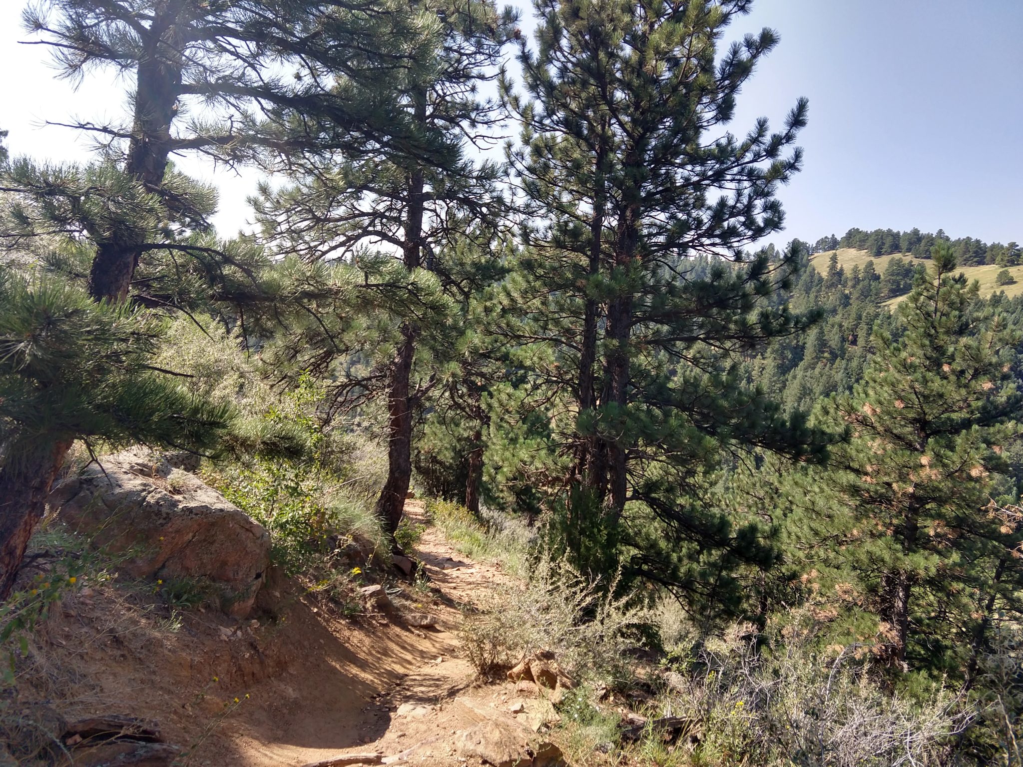
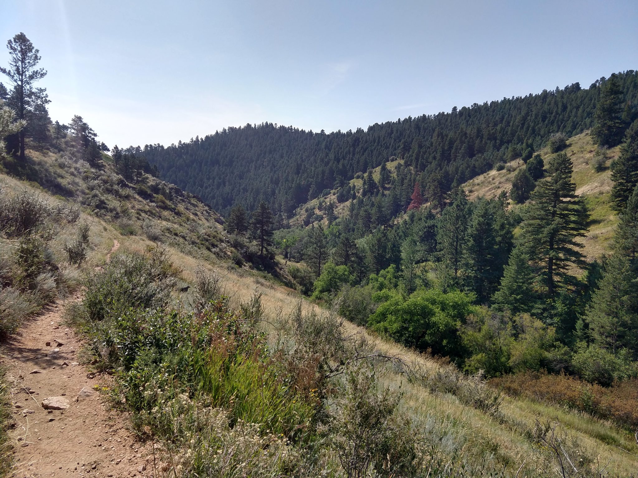
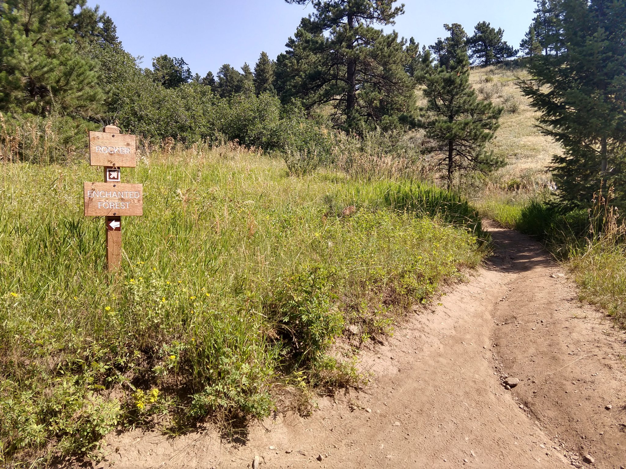
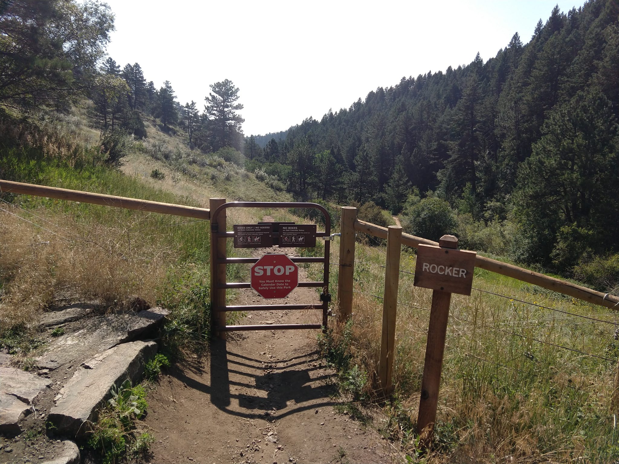
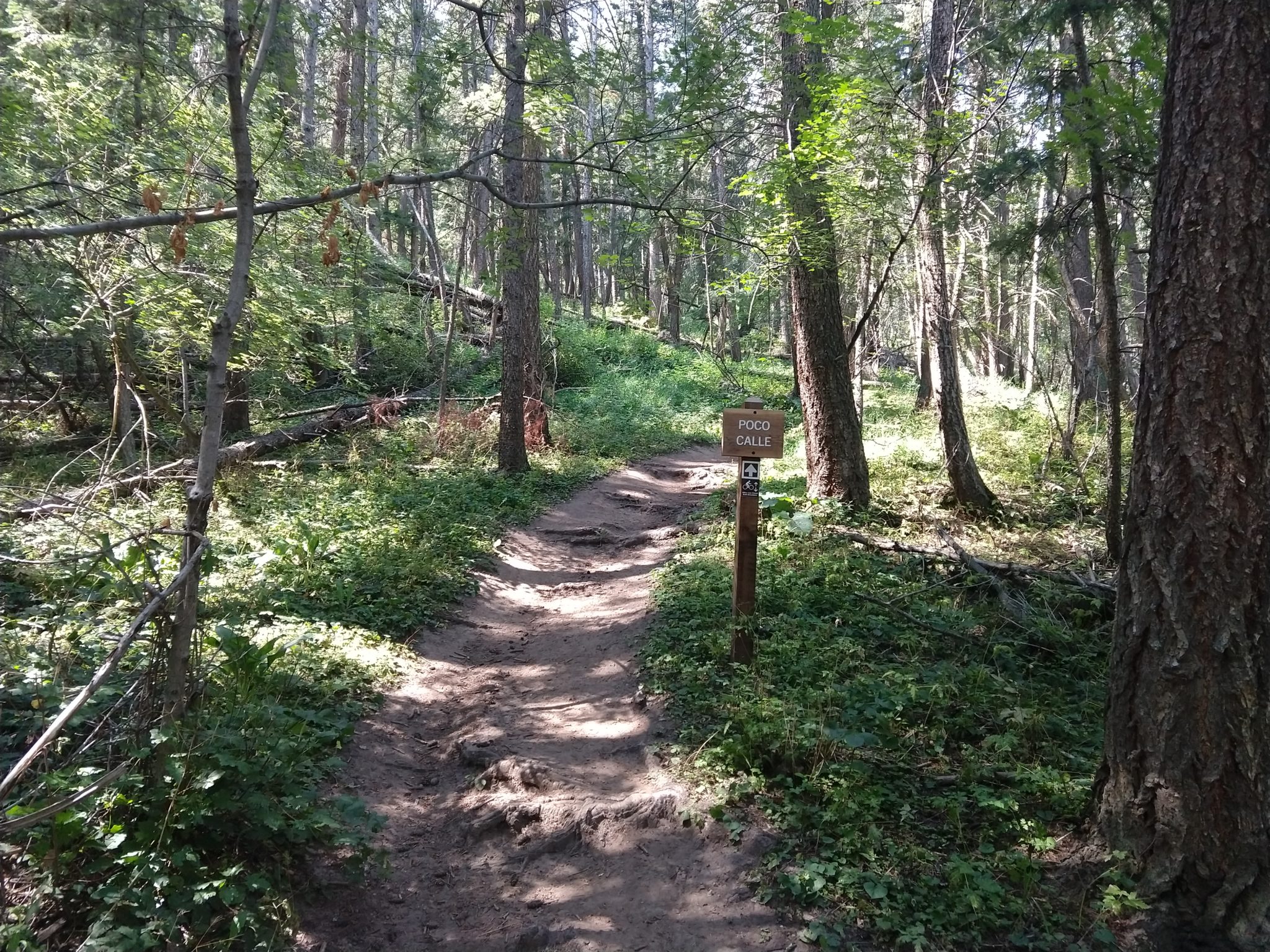
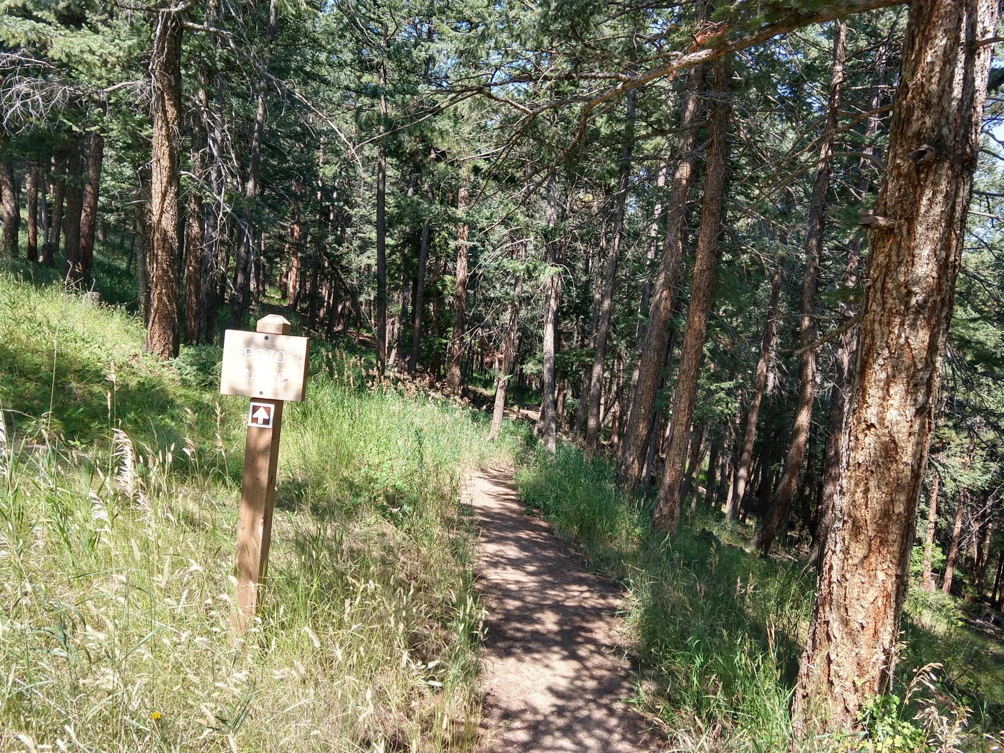
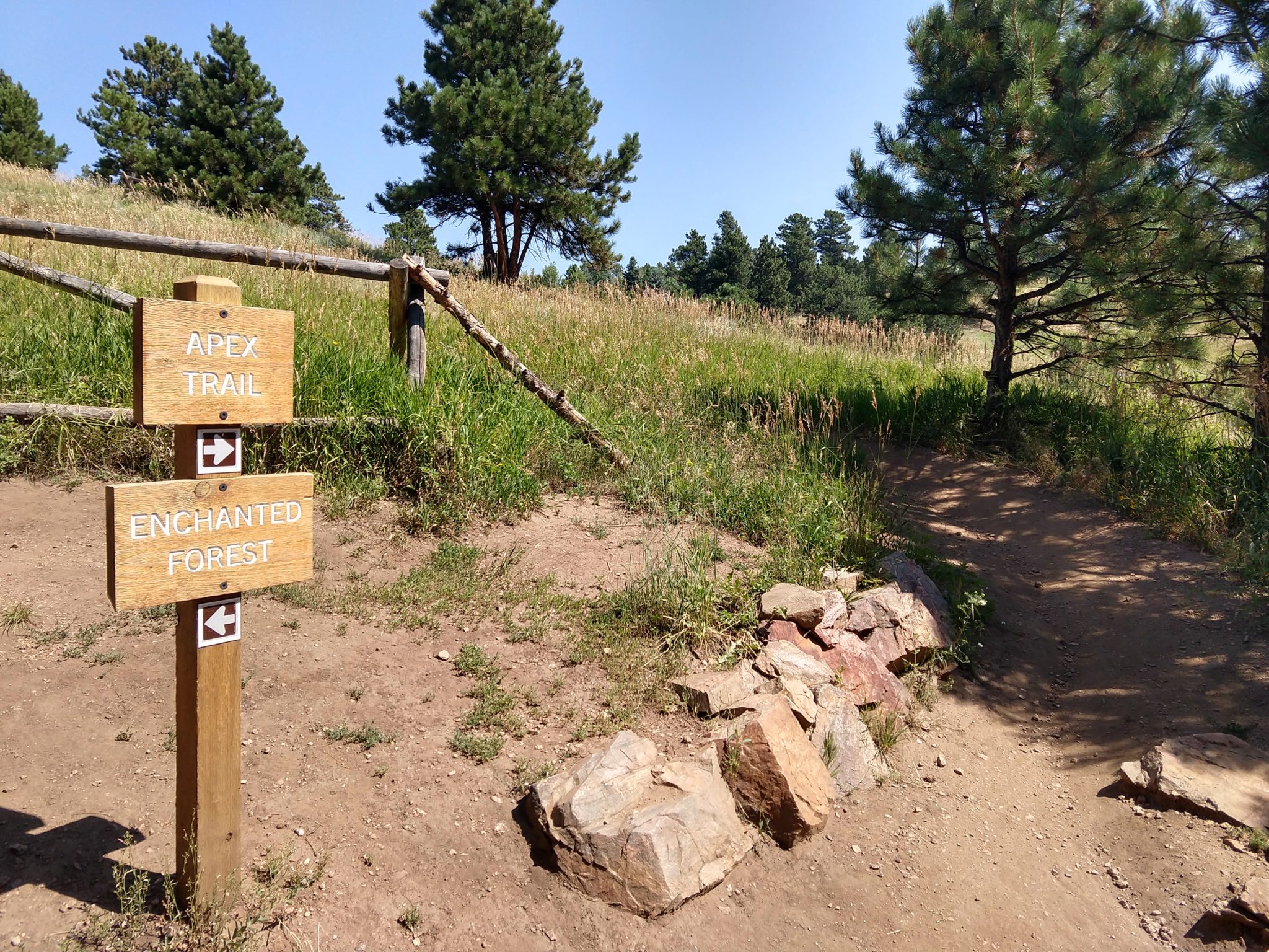
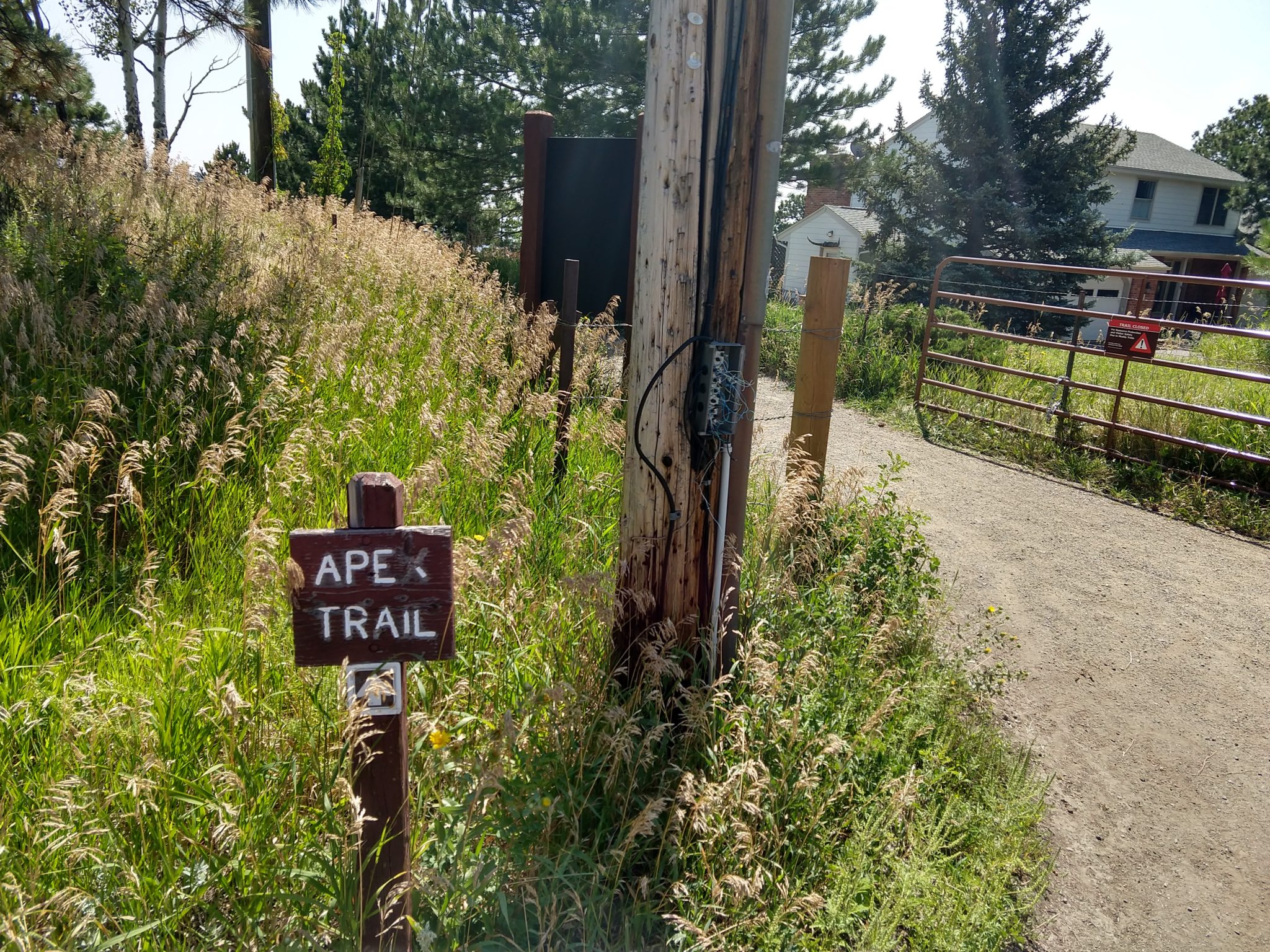
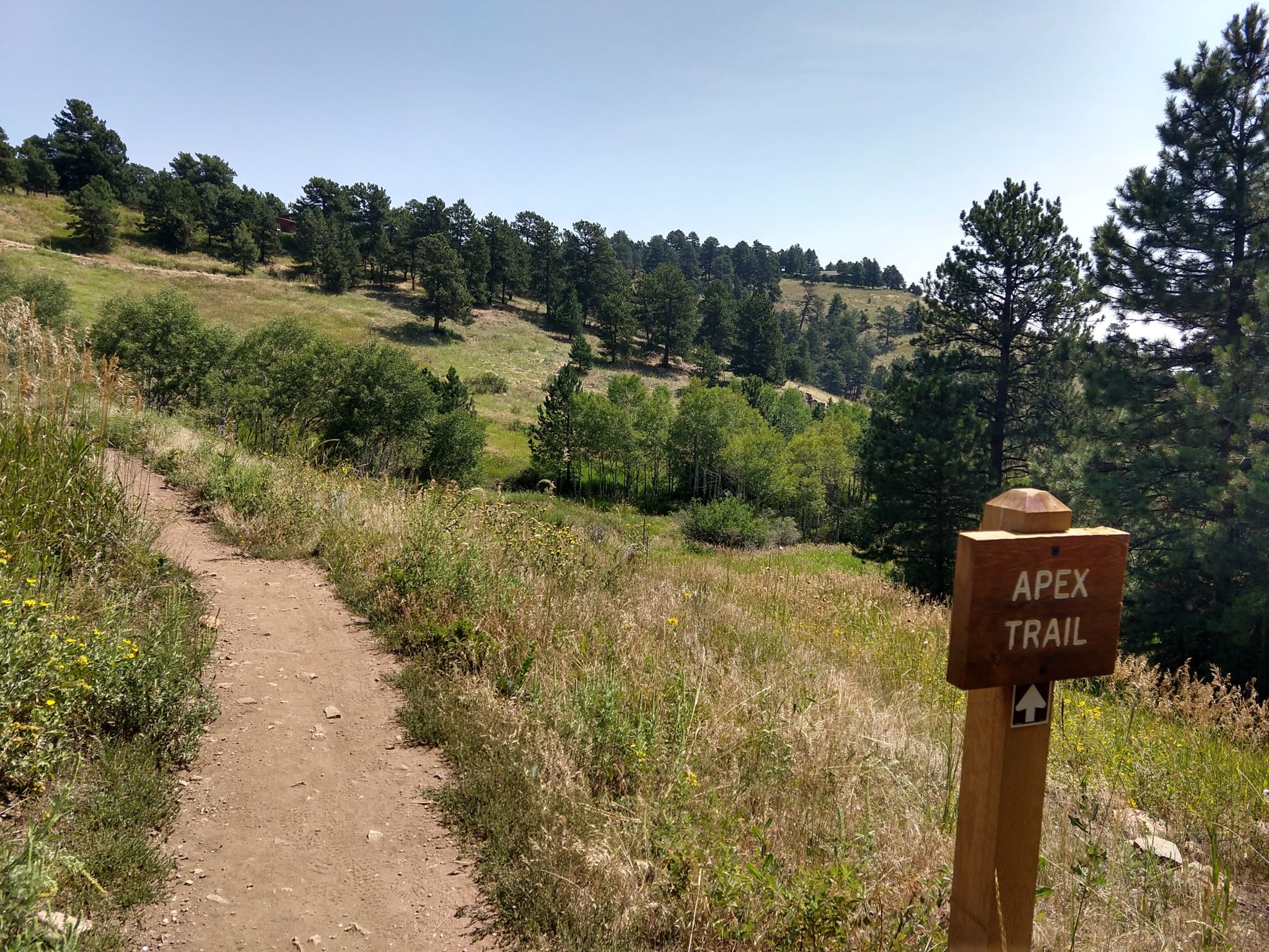
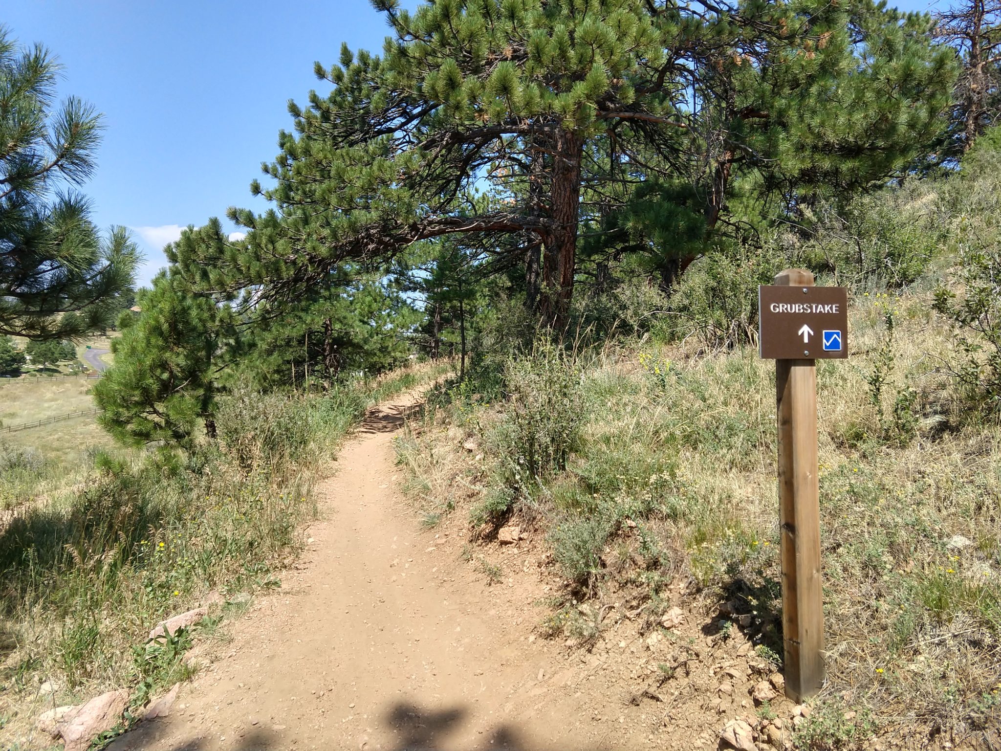
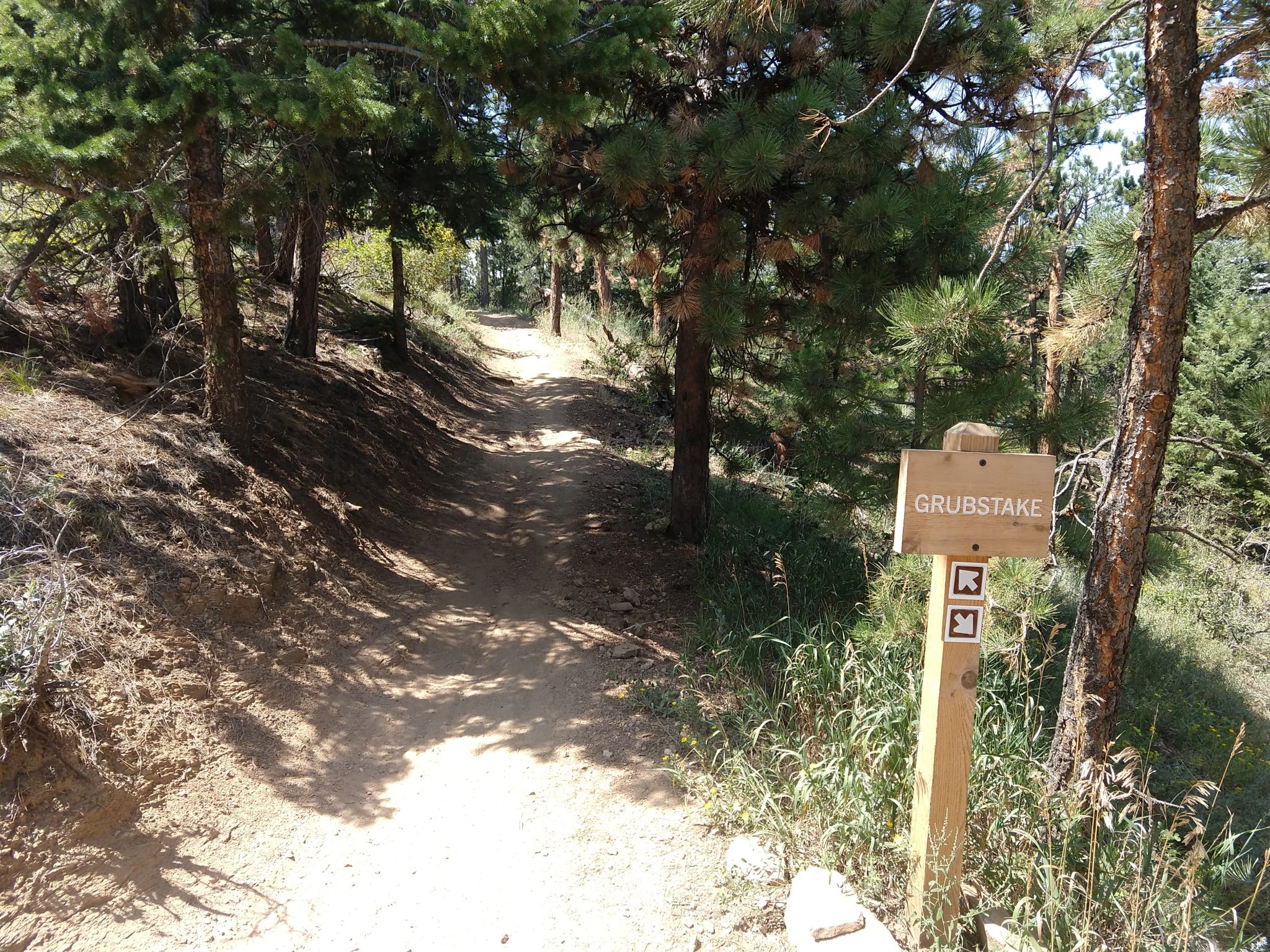
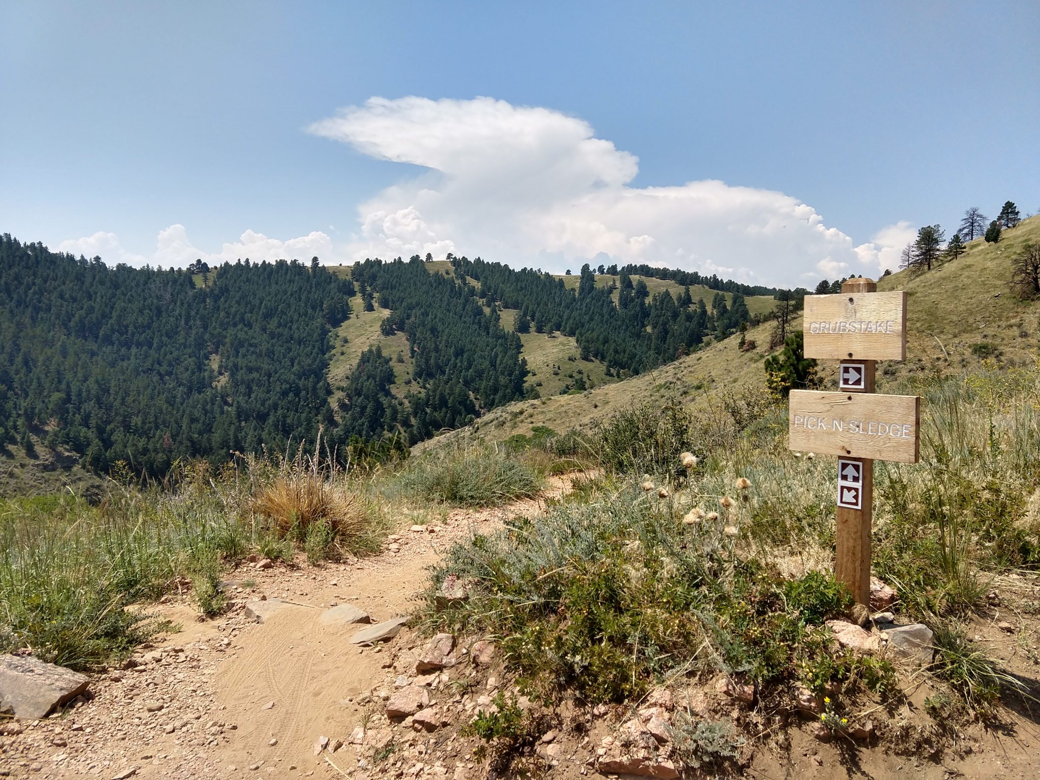
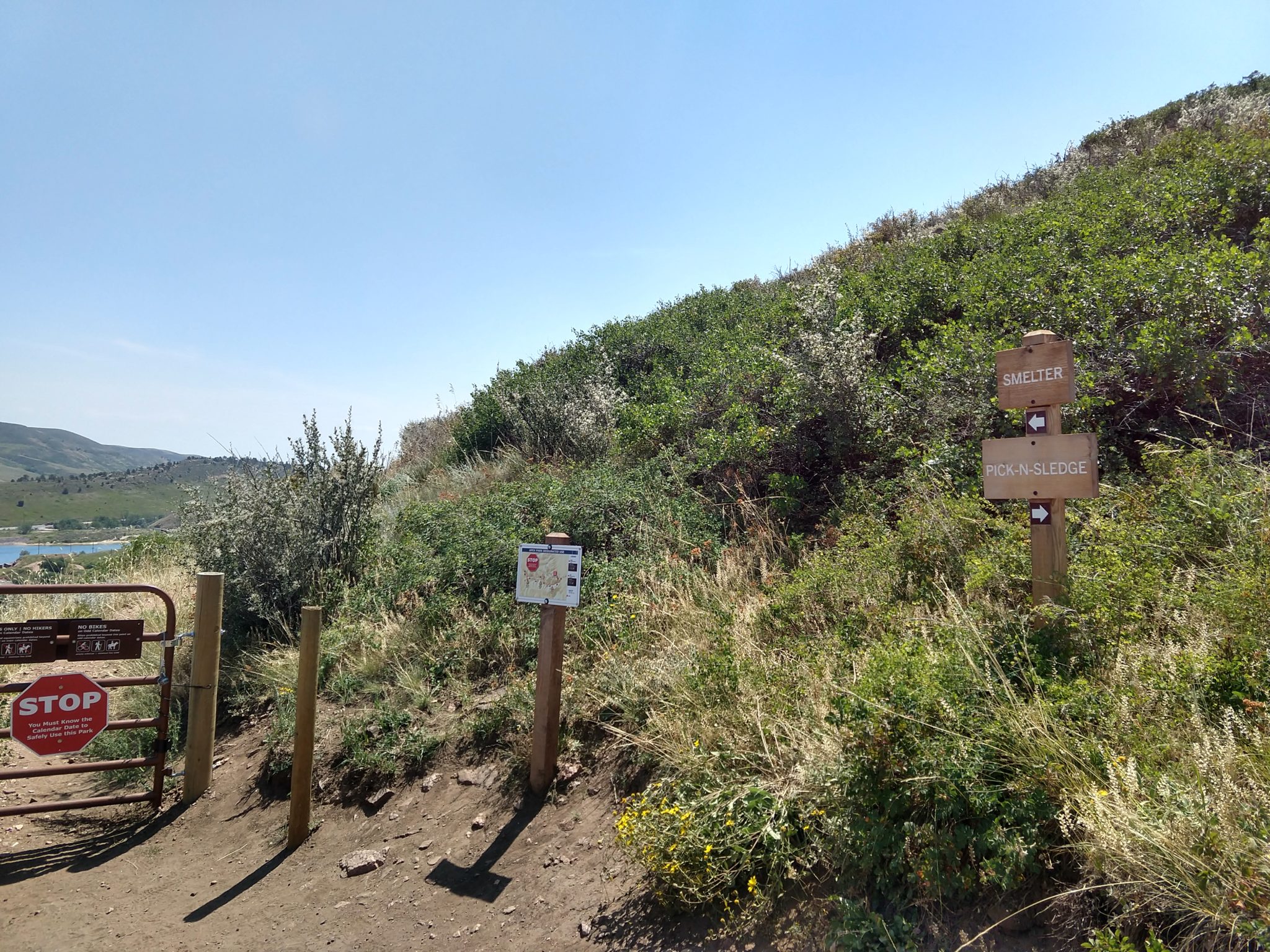
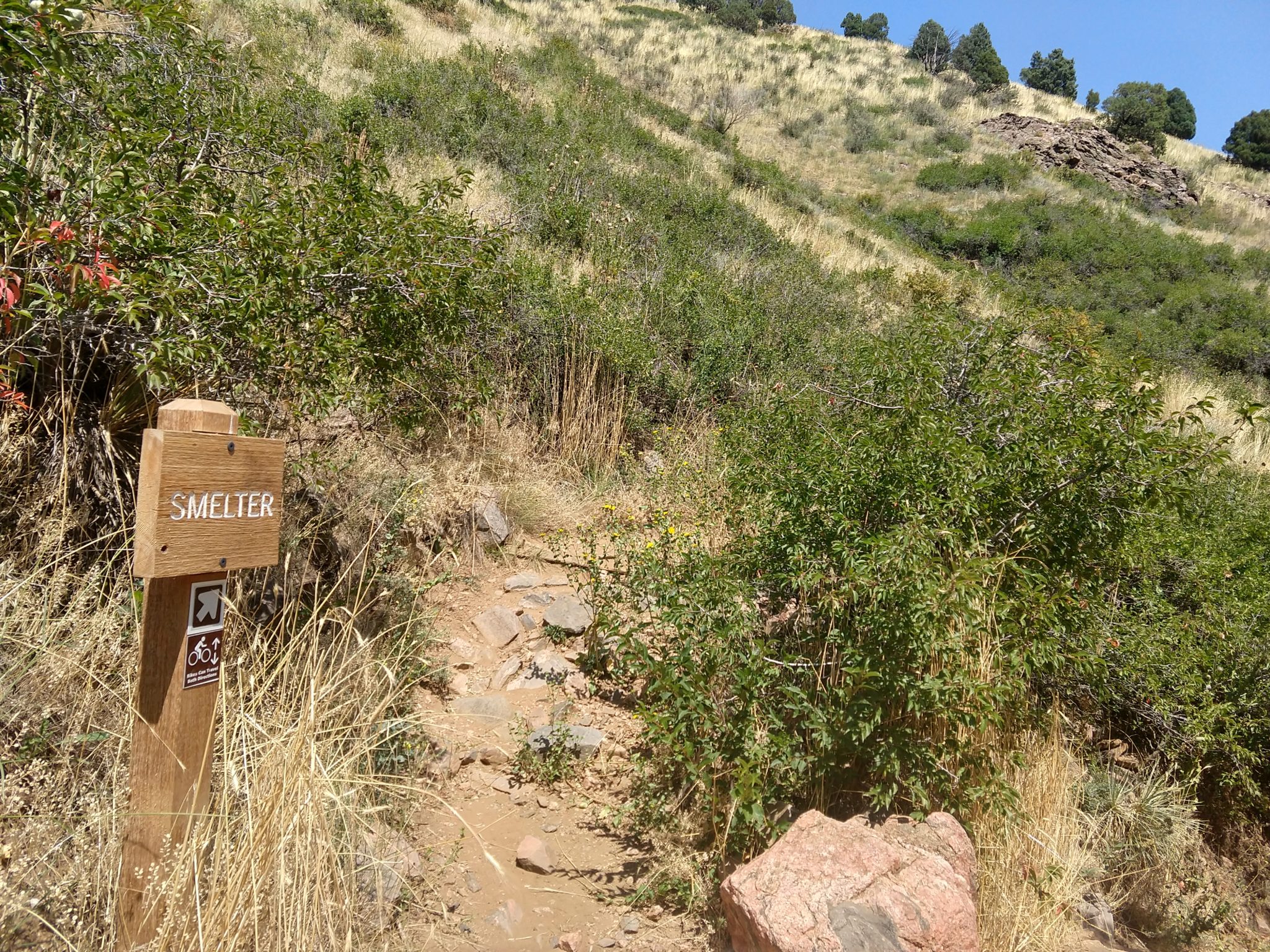
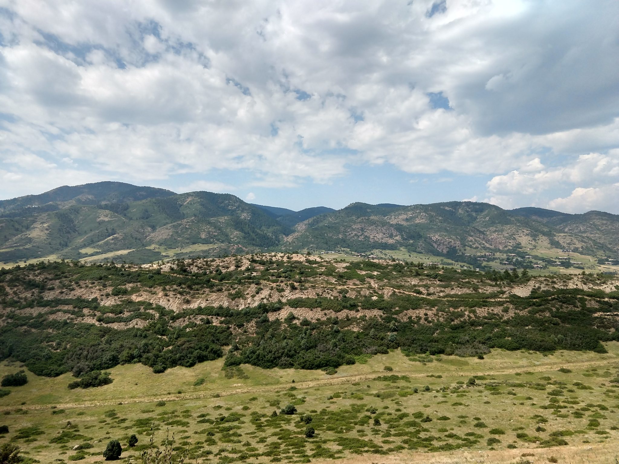
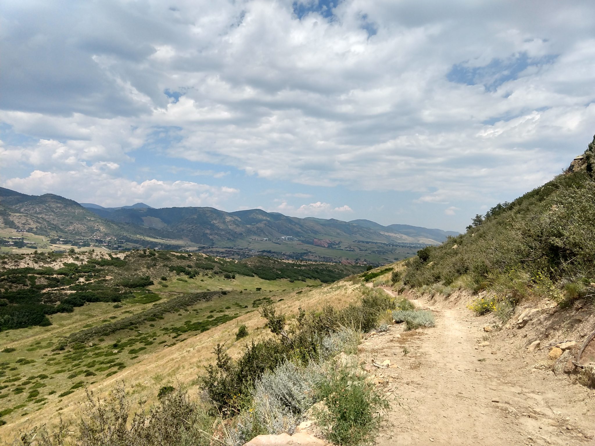
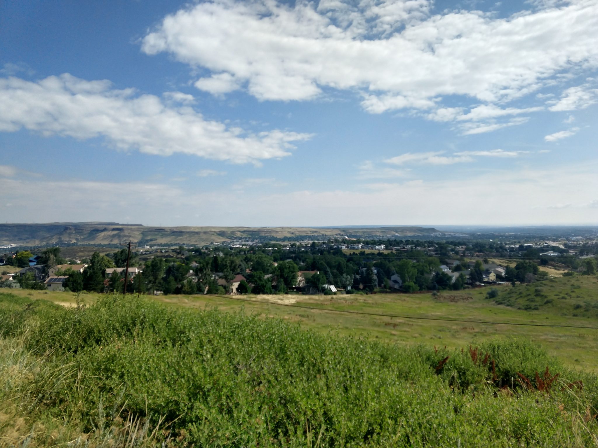
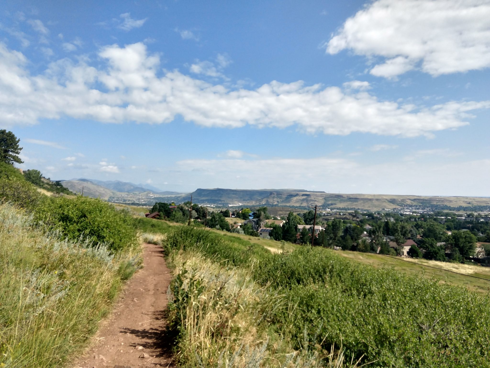
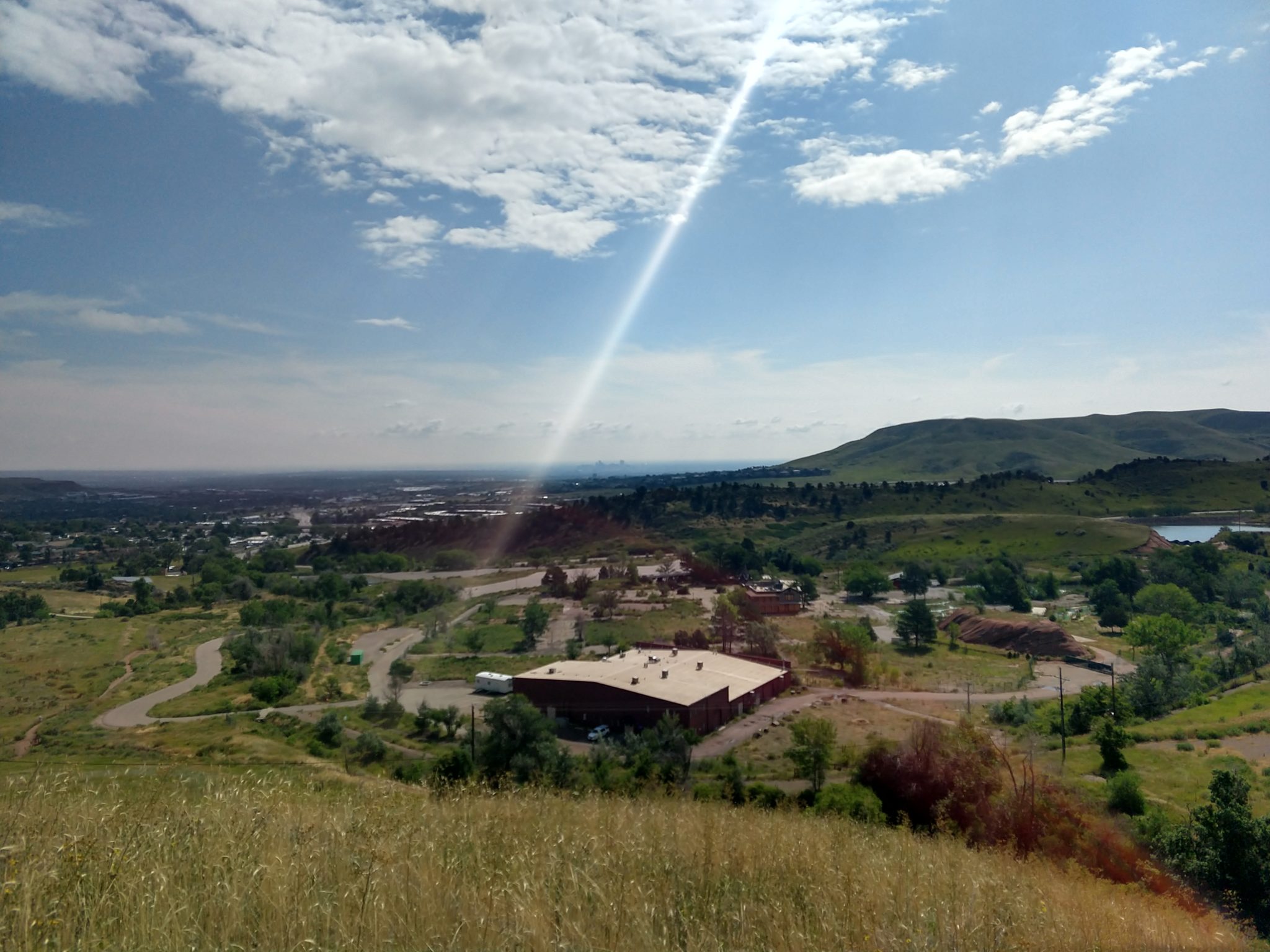
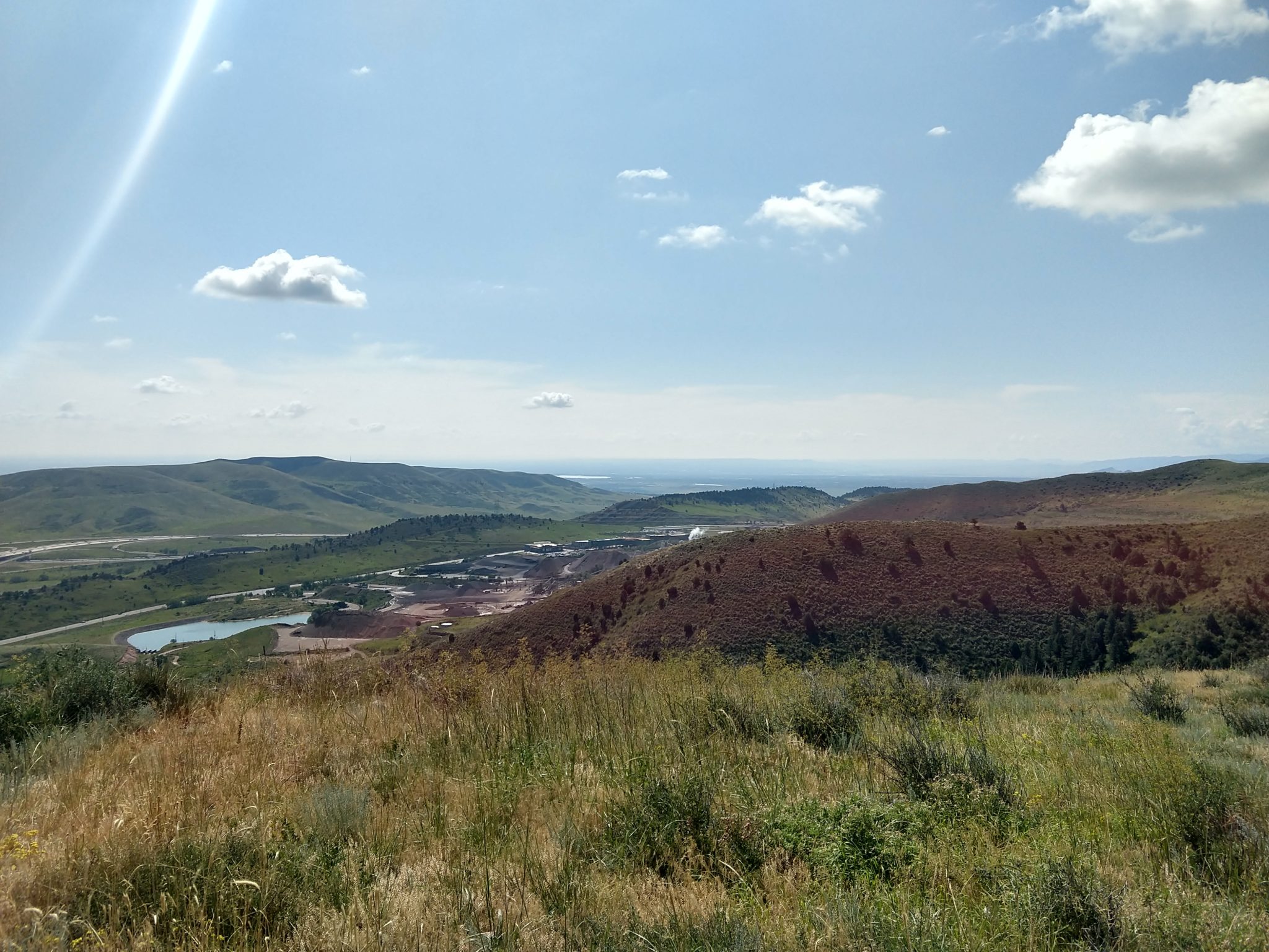
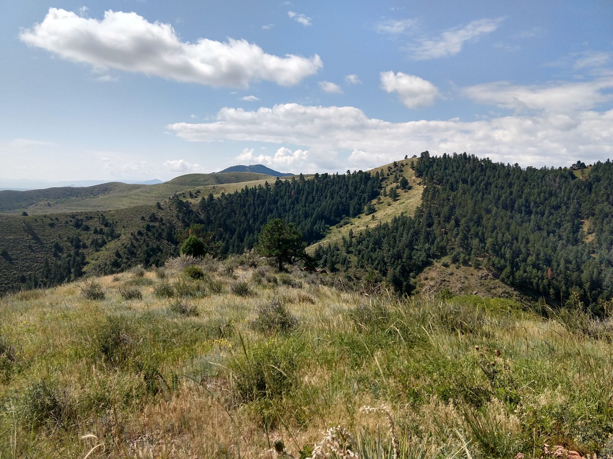
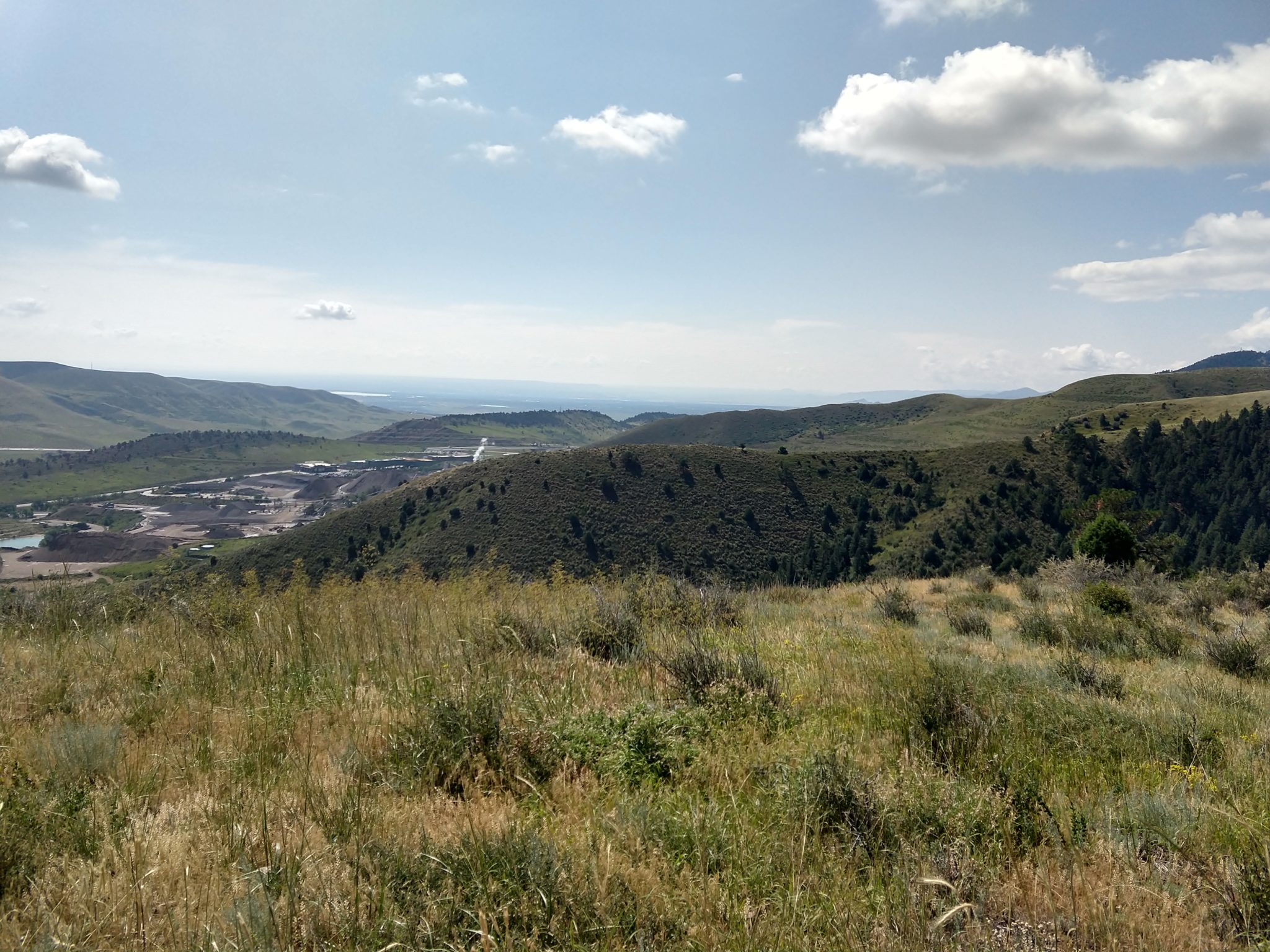
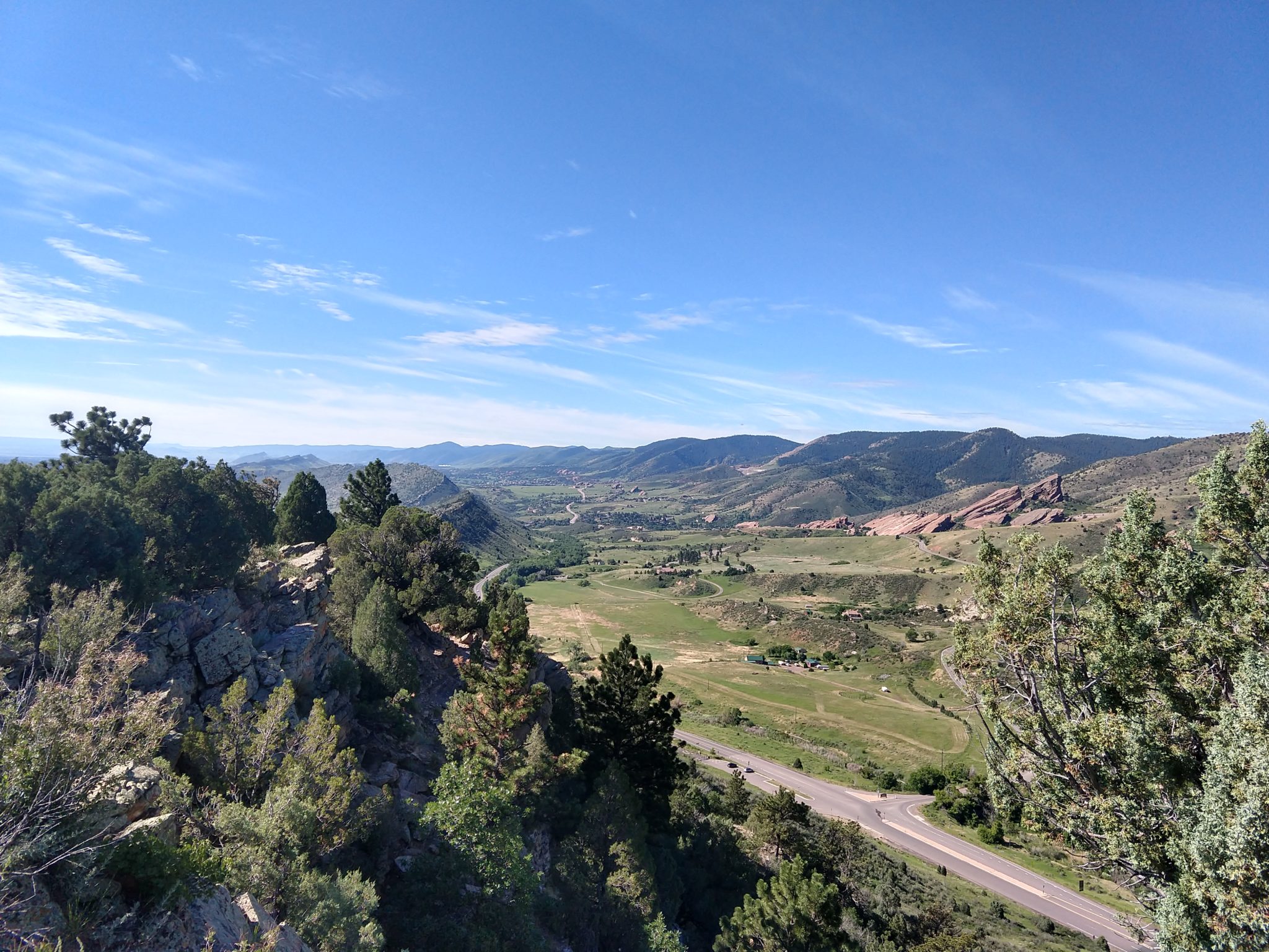
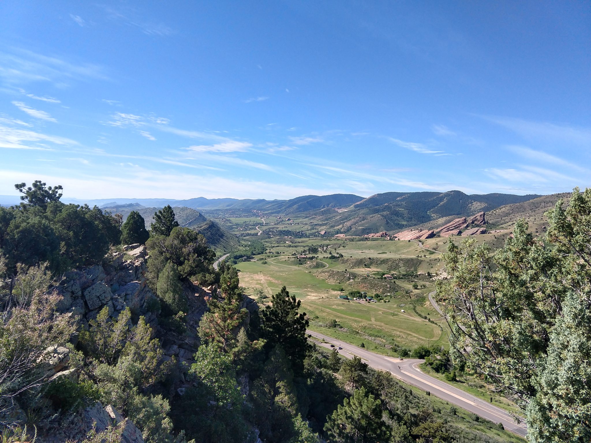
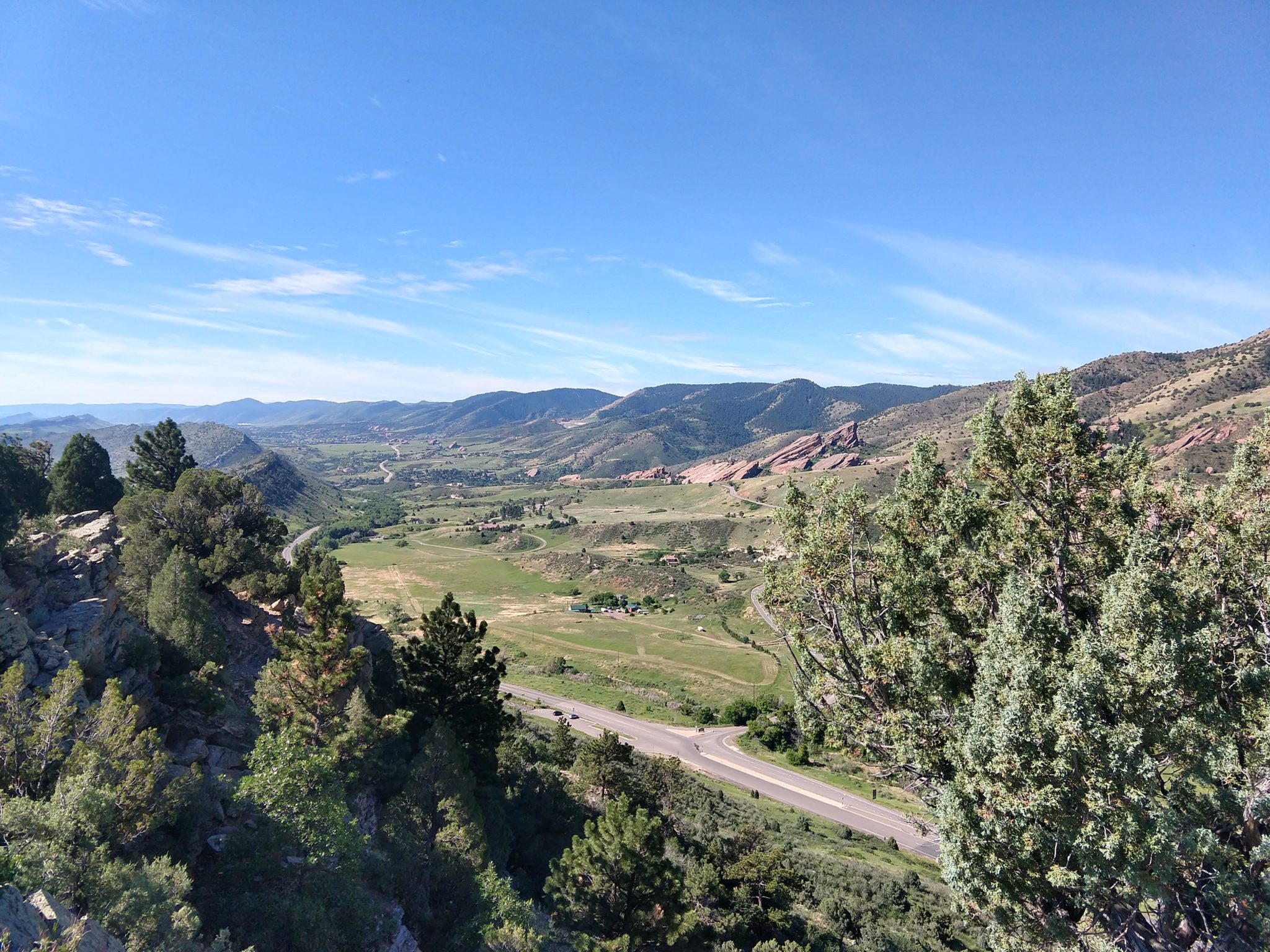
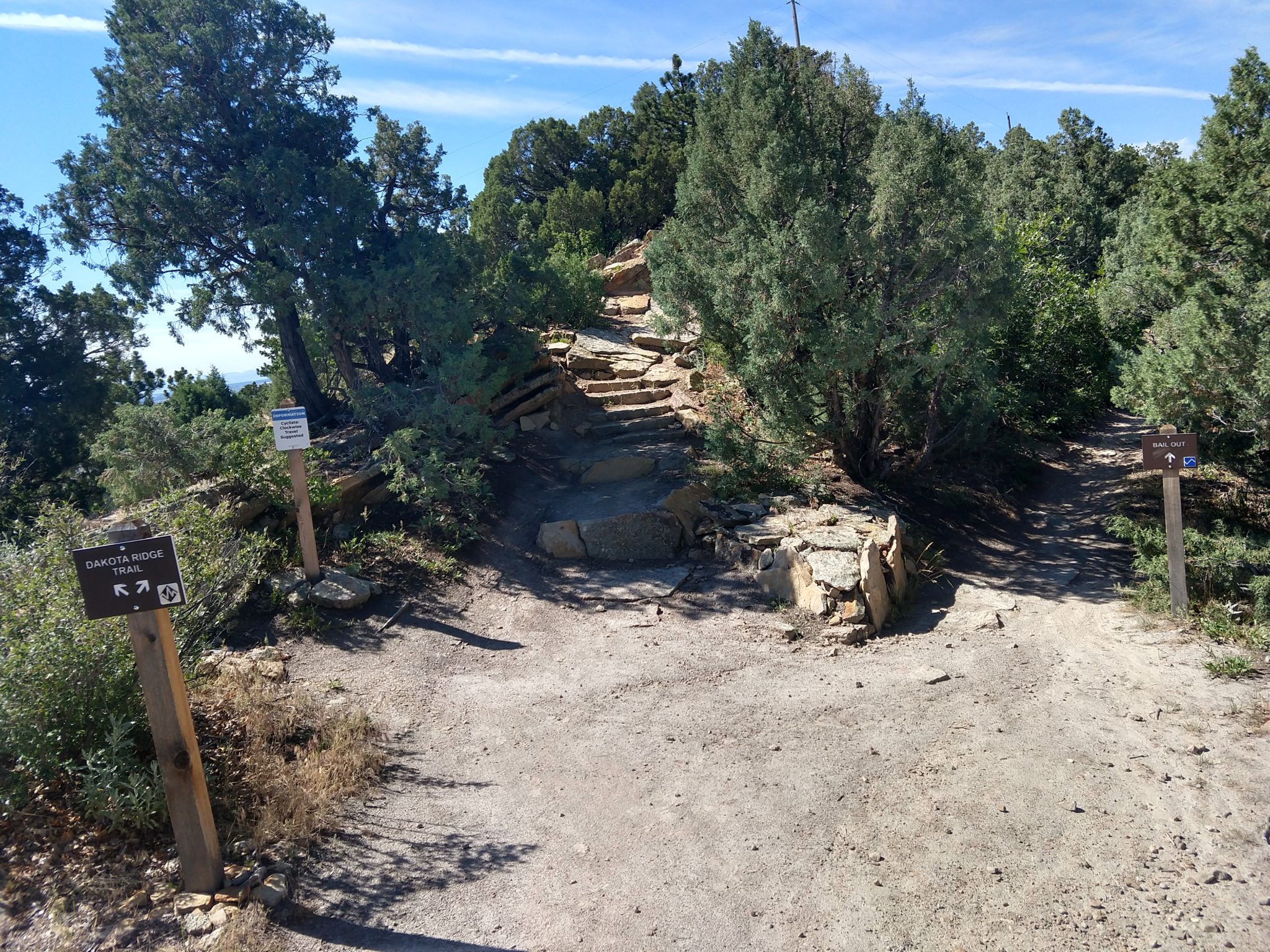
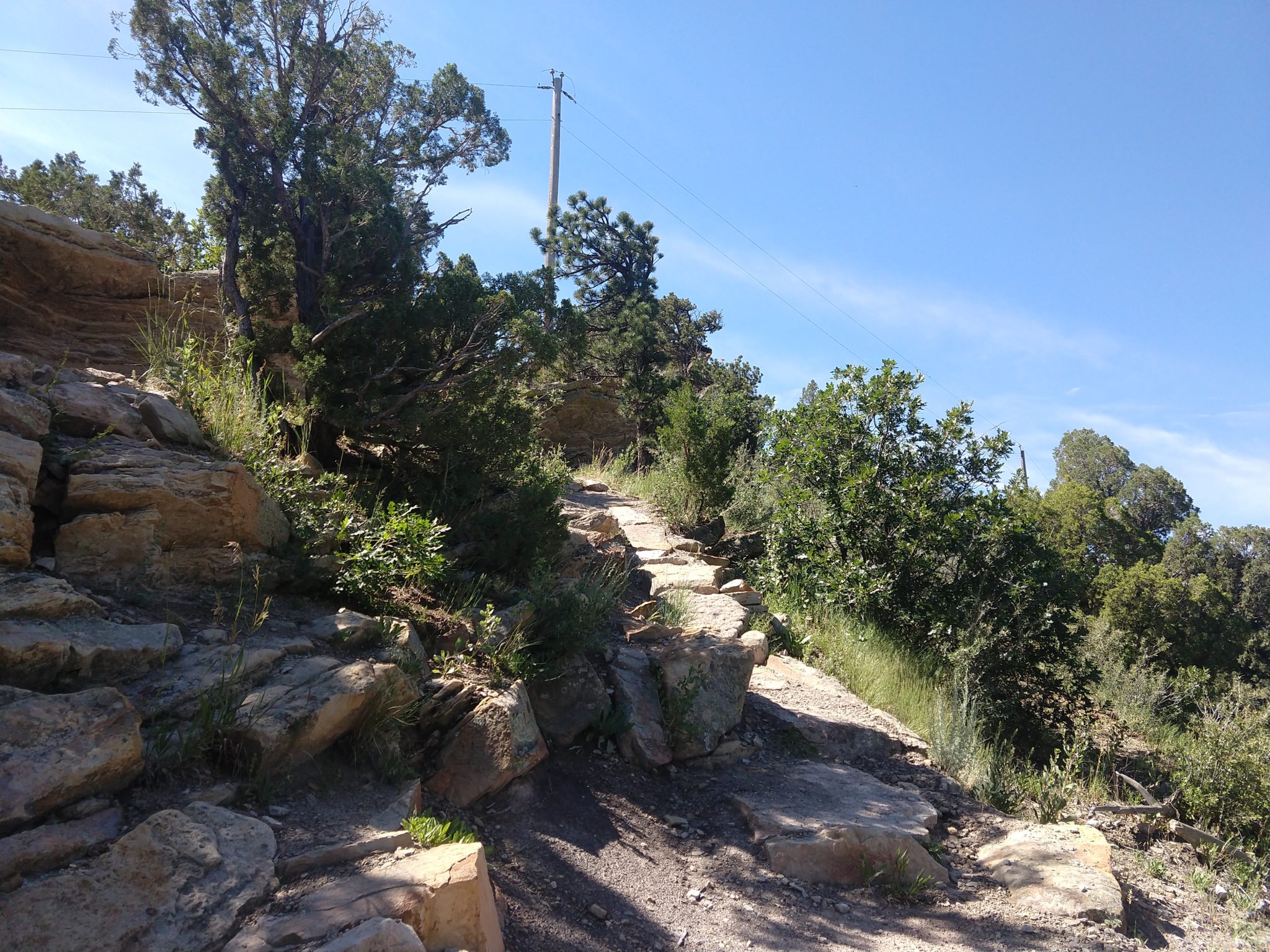
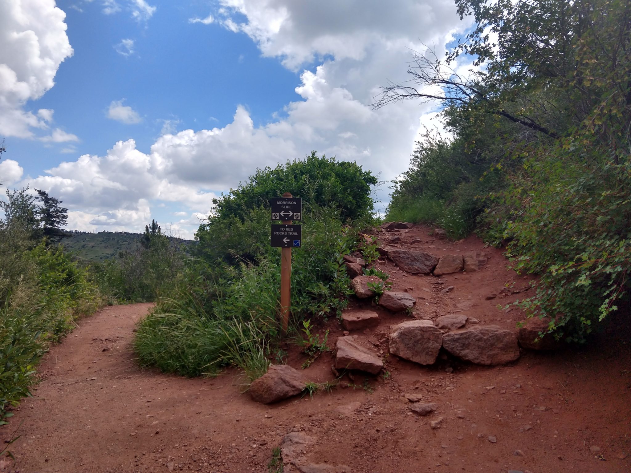
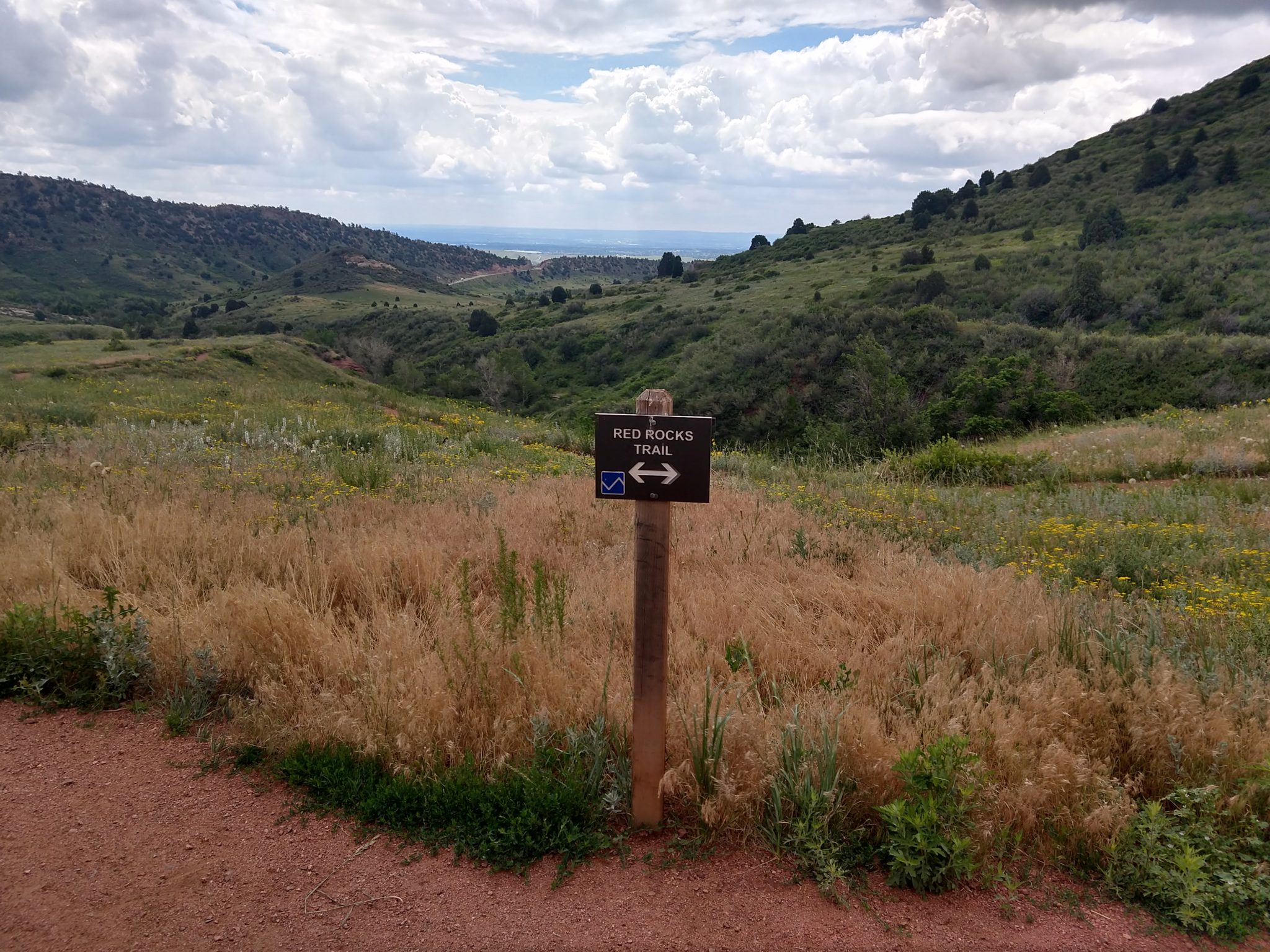
This was another AllTrails discovery near our house that I had no idea existed. The odd-day trail hike is mostly exposed for the first couple of miles, but the Grubsteak park of it is quite nice. However, I didn’t realize that this park switched between bikes and hikers on odd and even days, and I came on the wrong day so there were a ton of bikes riding up.
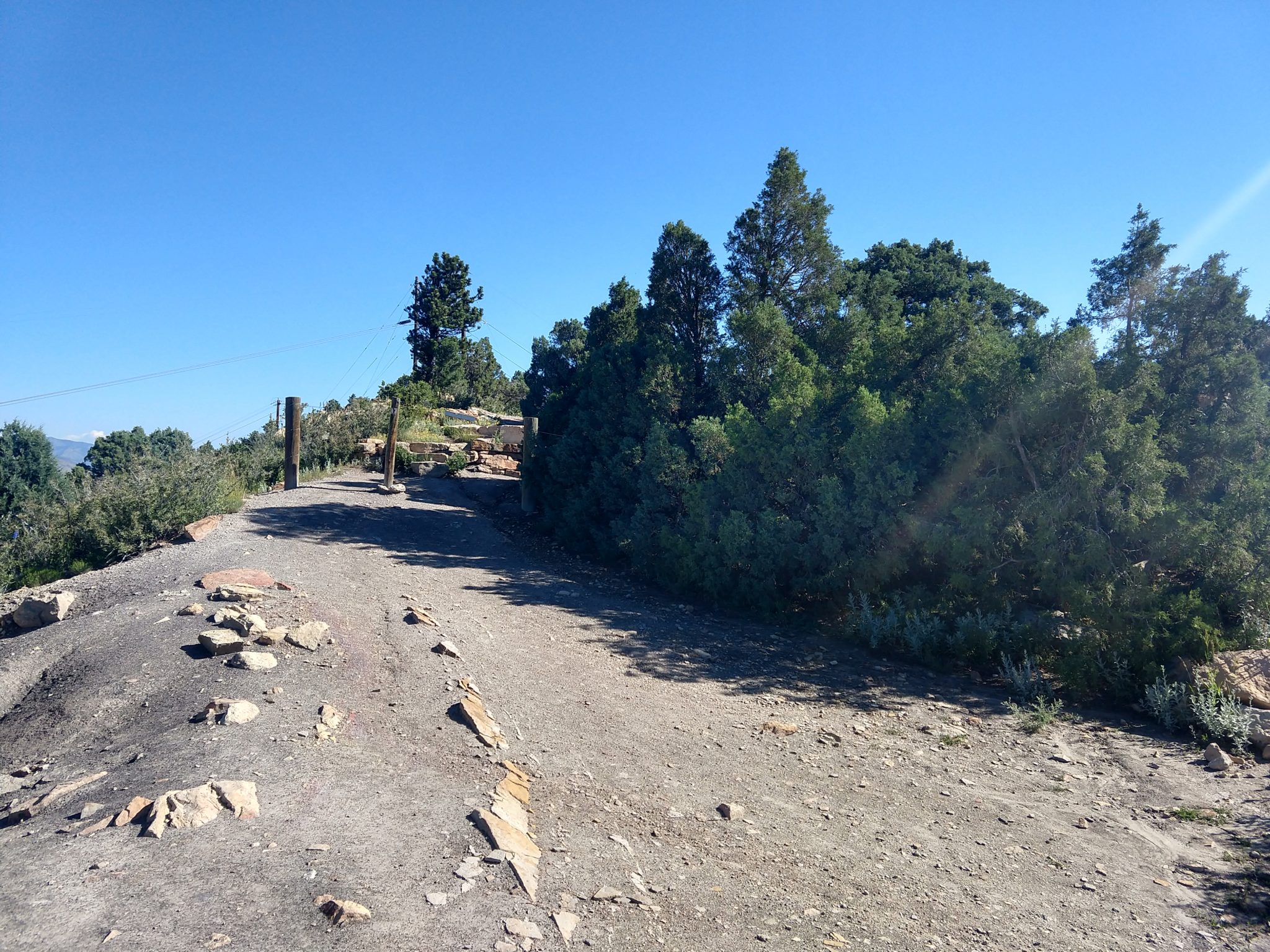
Bonanza Trail looks like it is closed at the bottom before you get to the woods, but it turns out that this is an optical illusion. The trail makes a sharp turn directly in front of the Trail Closed sign and is hidden behind another sign.
It turns out that Pam designed the parking area and trailhead.
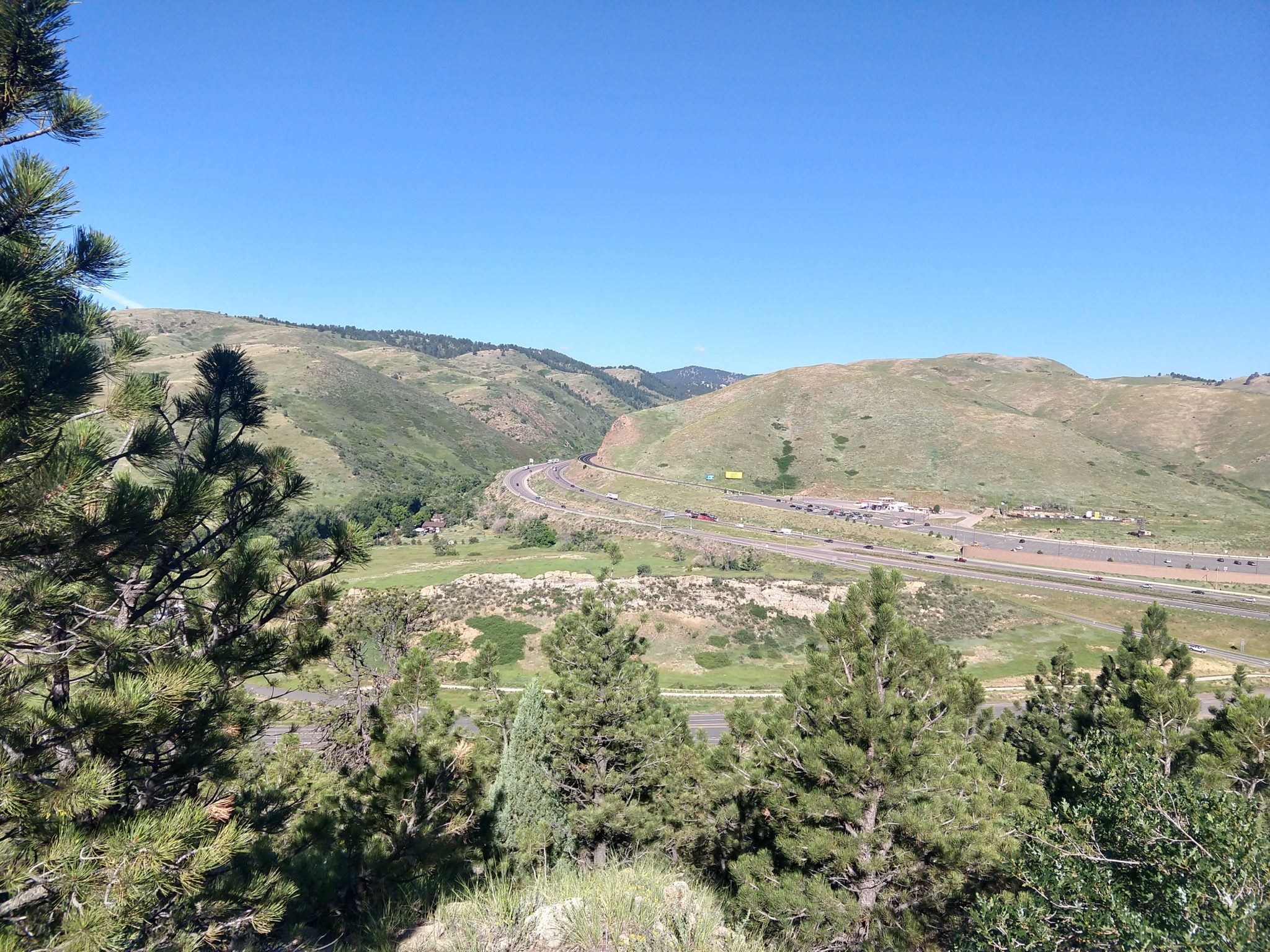
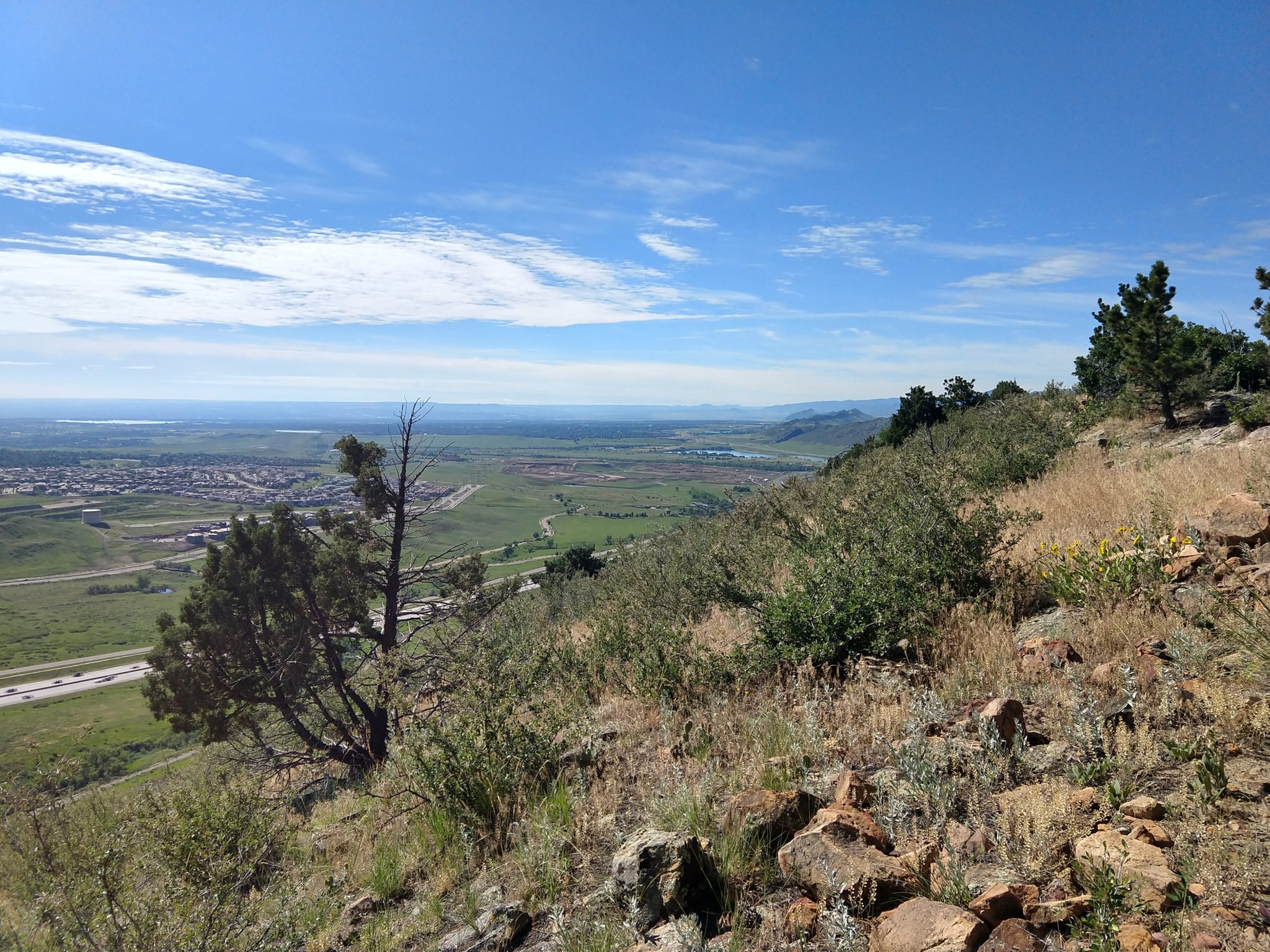
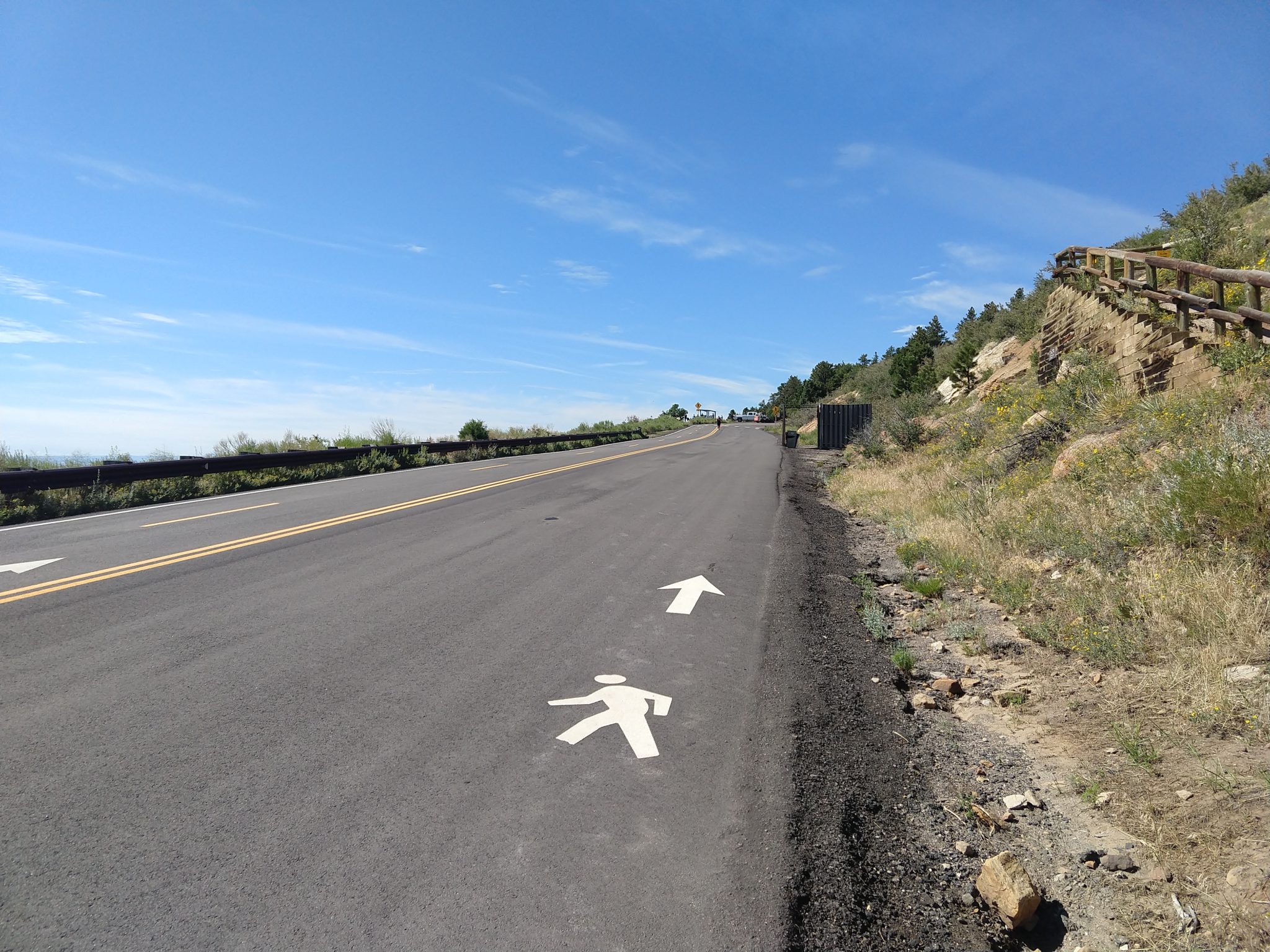
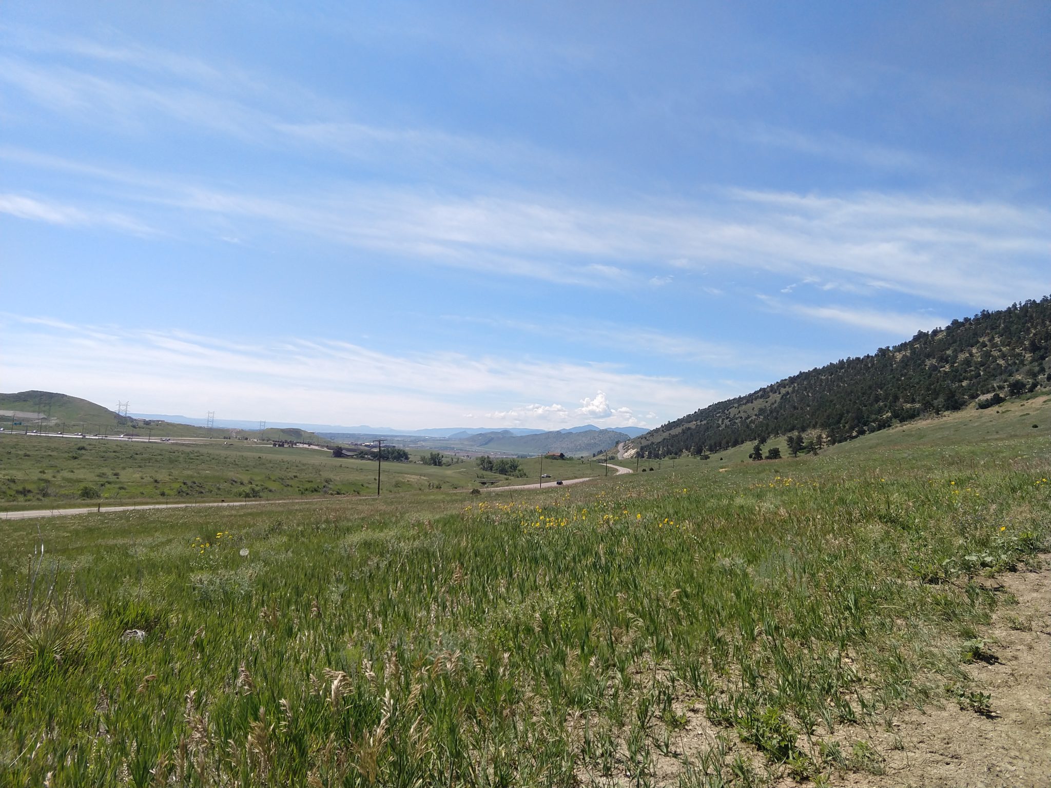
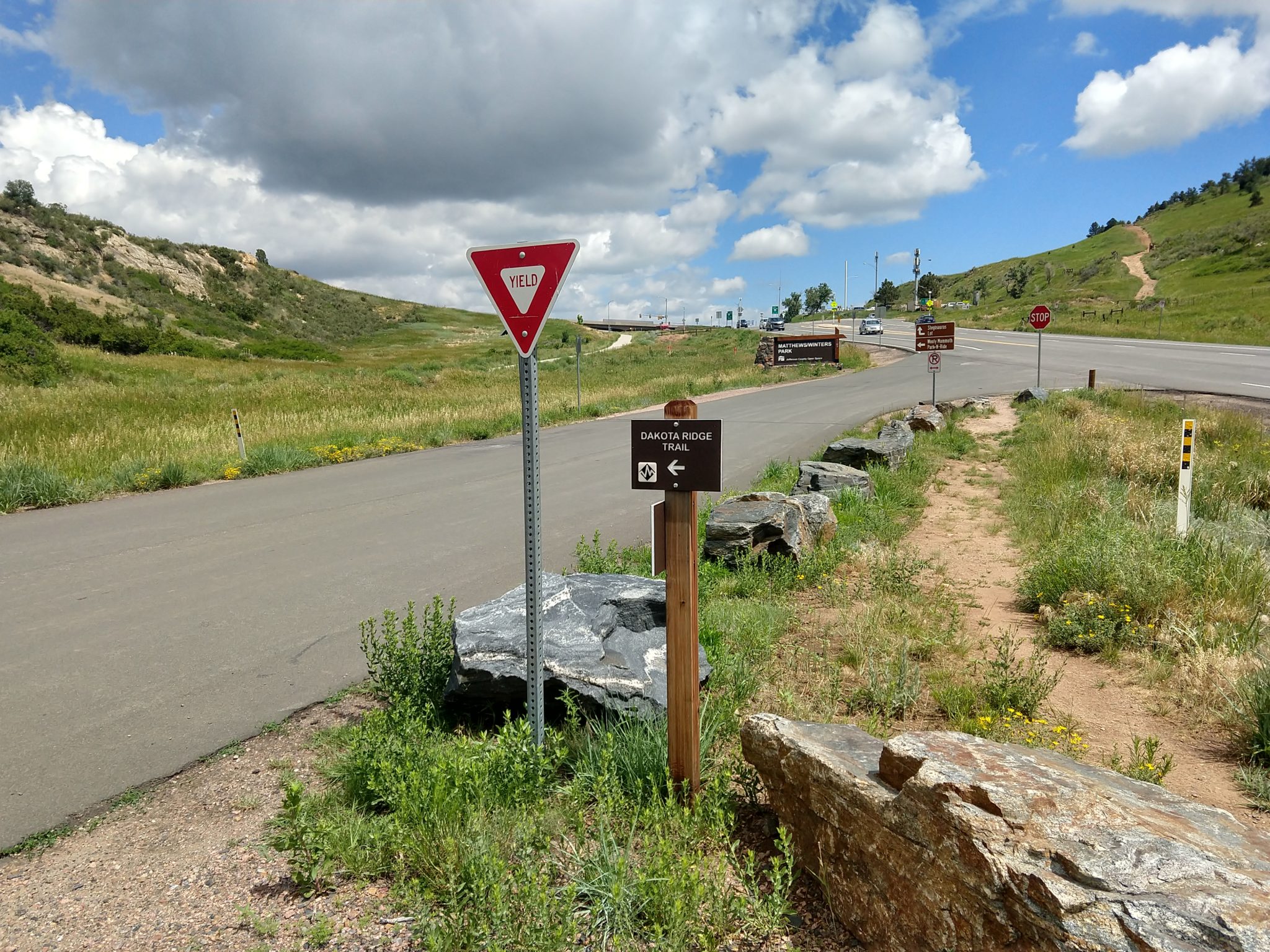
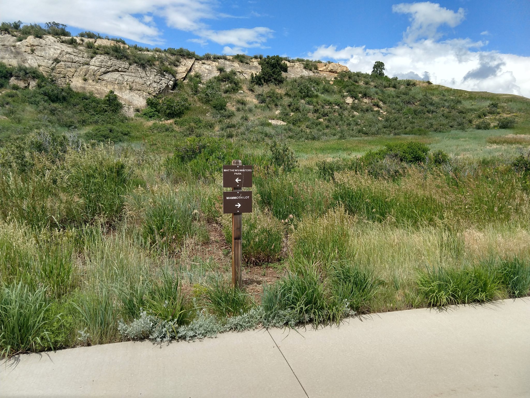
We live 15 minutes from this hike and I’ve always wondered what it looked like… Never again! You got the noise from I-70, 470, or both throughout the entire stretch; so I had to listen to podcasts the entire way to distract myself. The trail itself was pretty crappy with lots of steep, crooked areas with loose rocks everywhere. Or pavement. Both suck.