Summit Loop Trail – Green Mountain Trailhead – North Access Trail

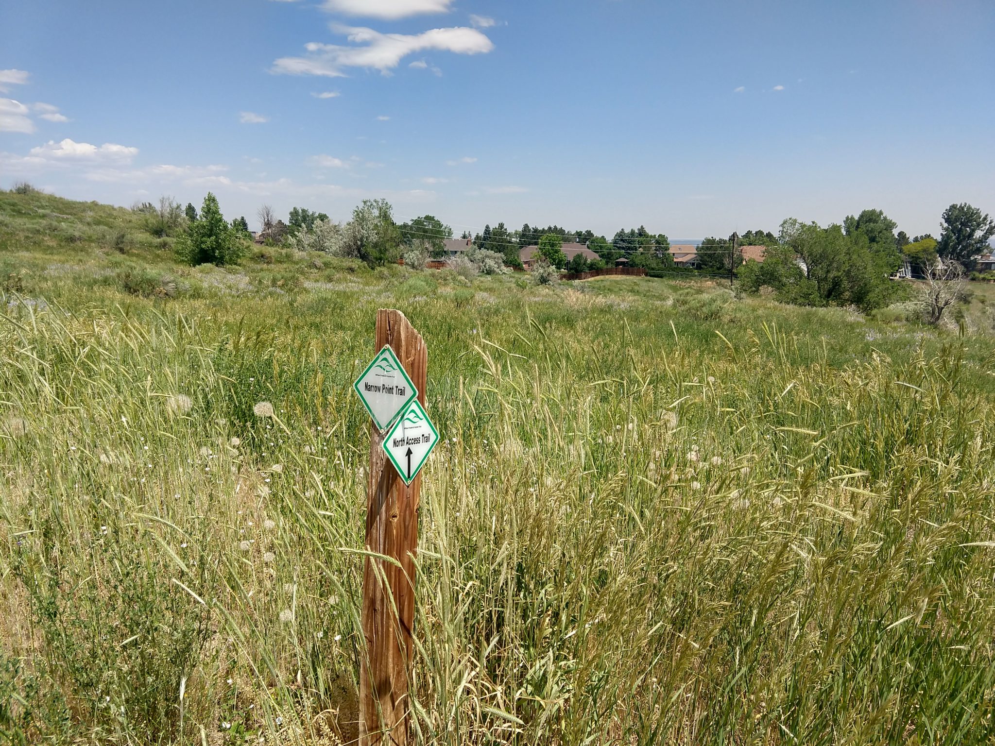
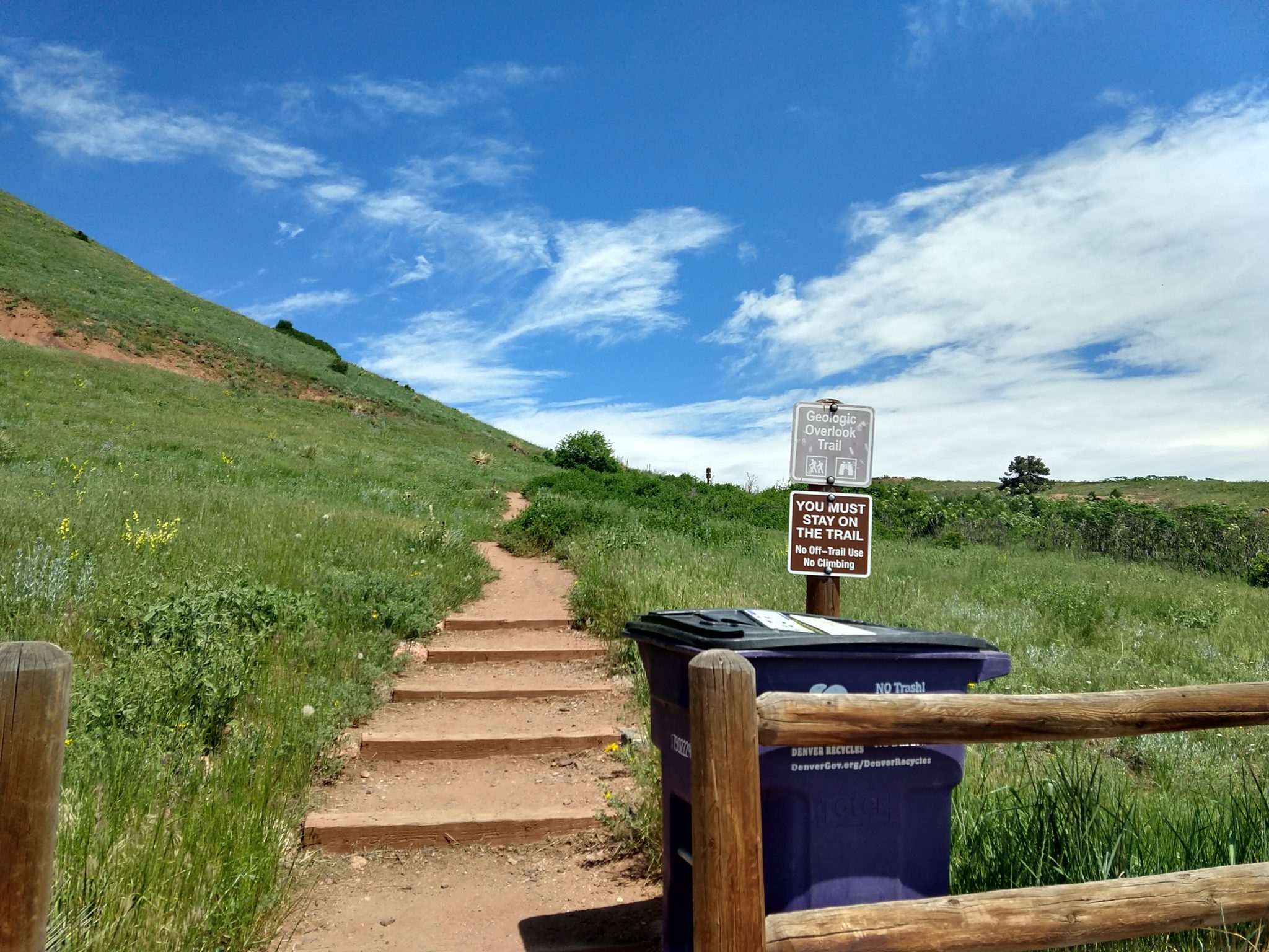
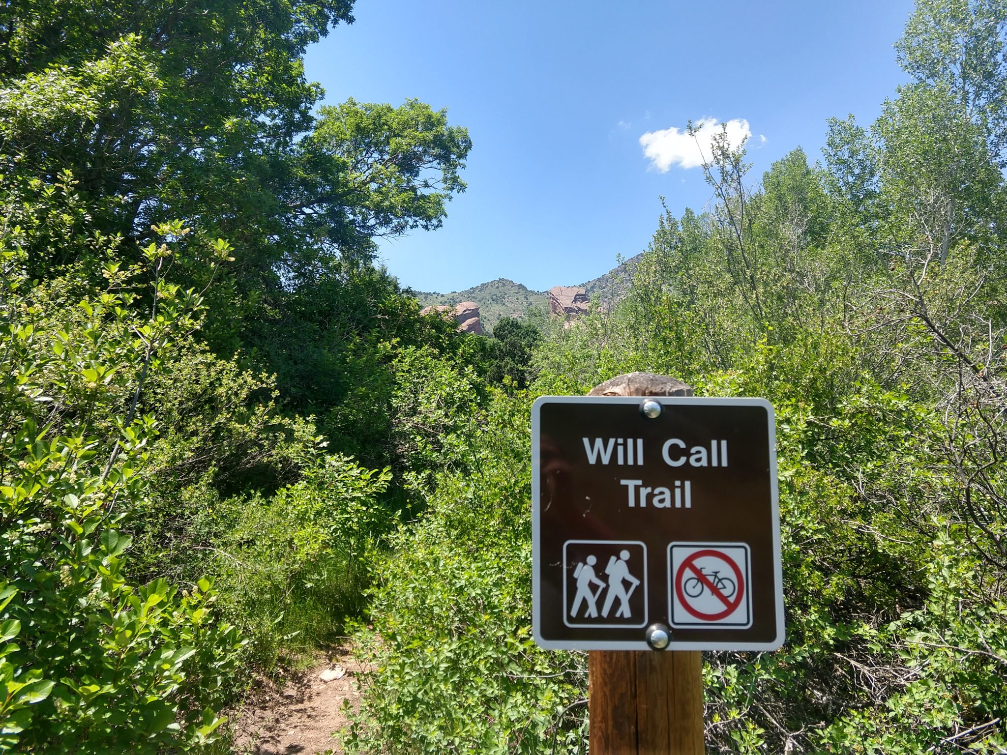
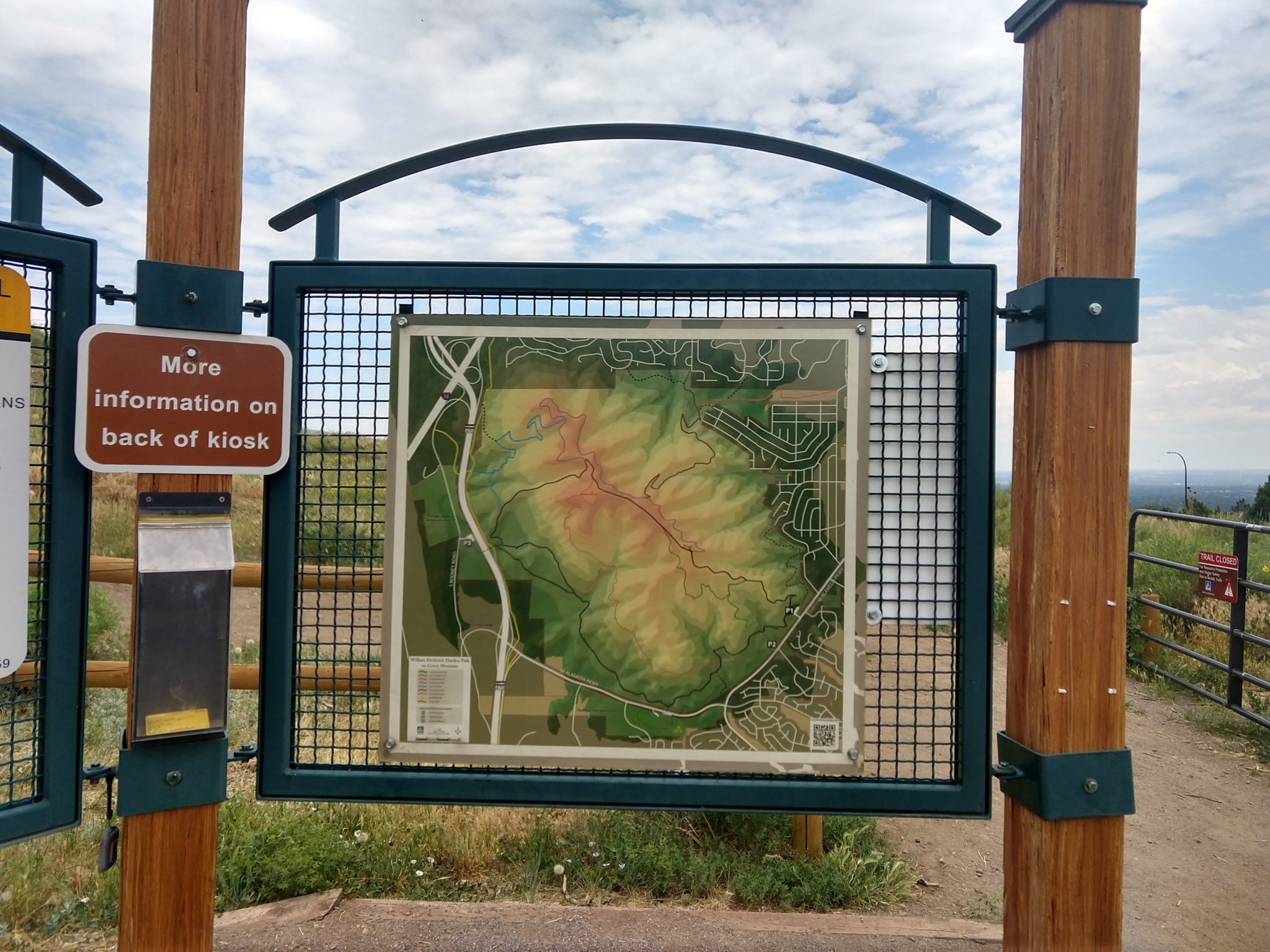
I had to go back to the park to fill in the parts I missed the first time around, and the second time around when it was supposed to be a filler hike. Some of the trails weren’t marked, or closed, and I ended up getting forced out of the park into the neighborhood, unless I wanted to hike a mile out of my way to a known path back to the trailhead. The neighborhood was nice, but I missed a shortcut that would have cut this hike 1 mile short.
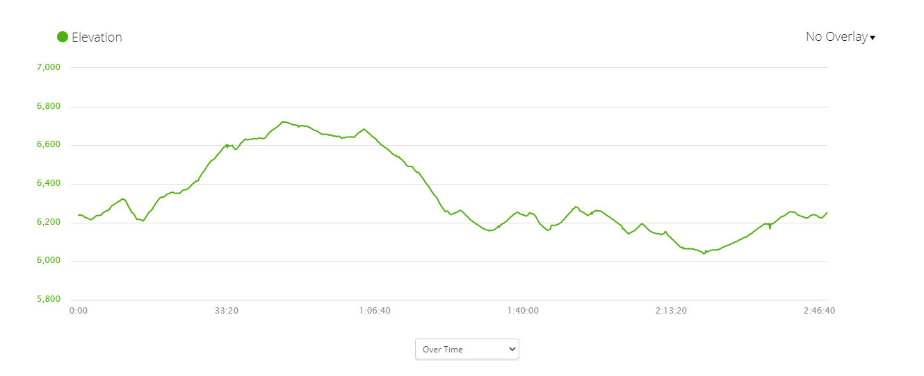
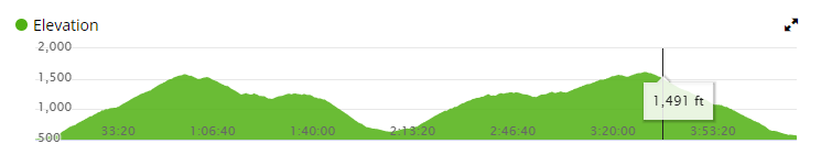
Here are the stats:

  • Distance = 7.67 mi
  • Elevation Gain = 1,319 ft
  • Time = 2:37:20
  • Avg Speed = 2.9 mph
  • Min elevation = 6,037 ft
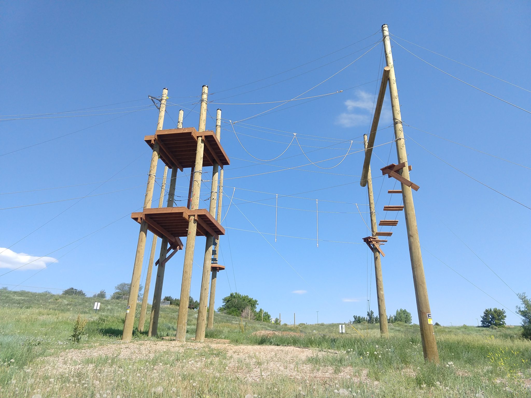
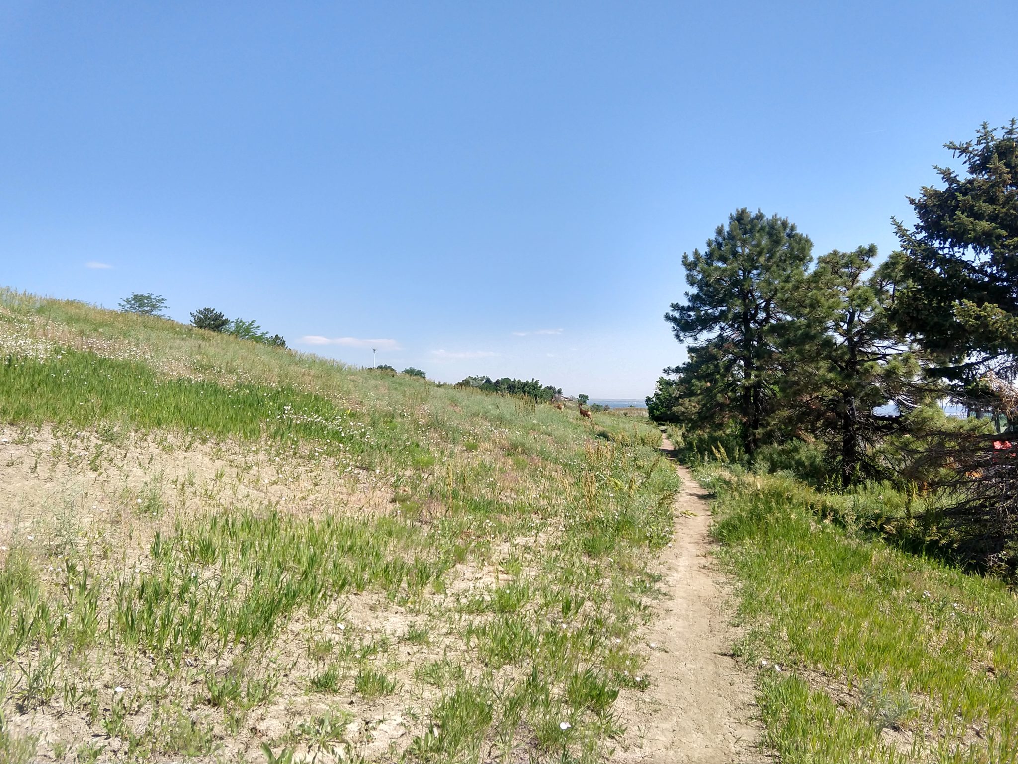
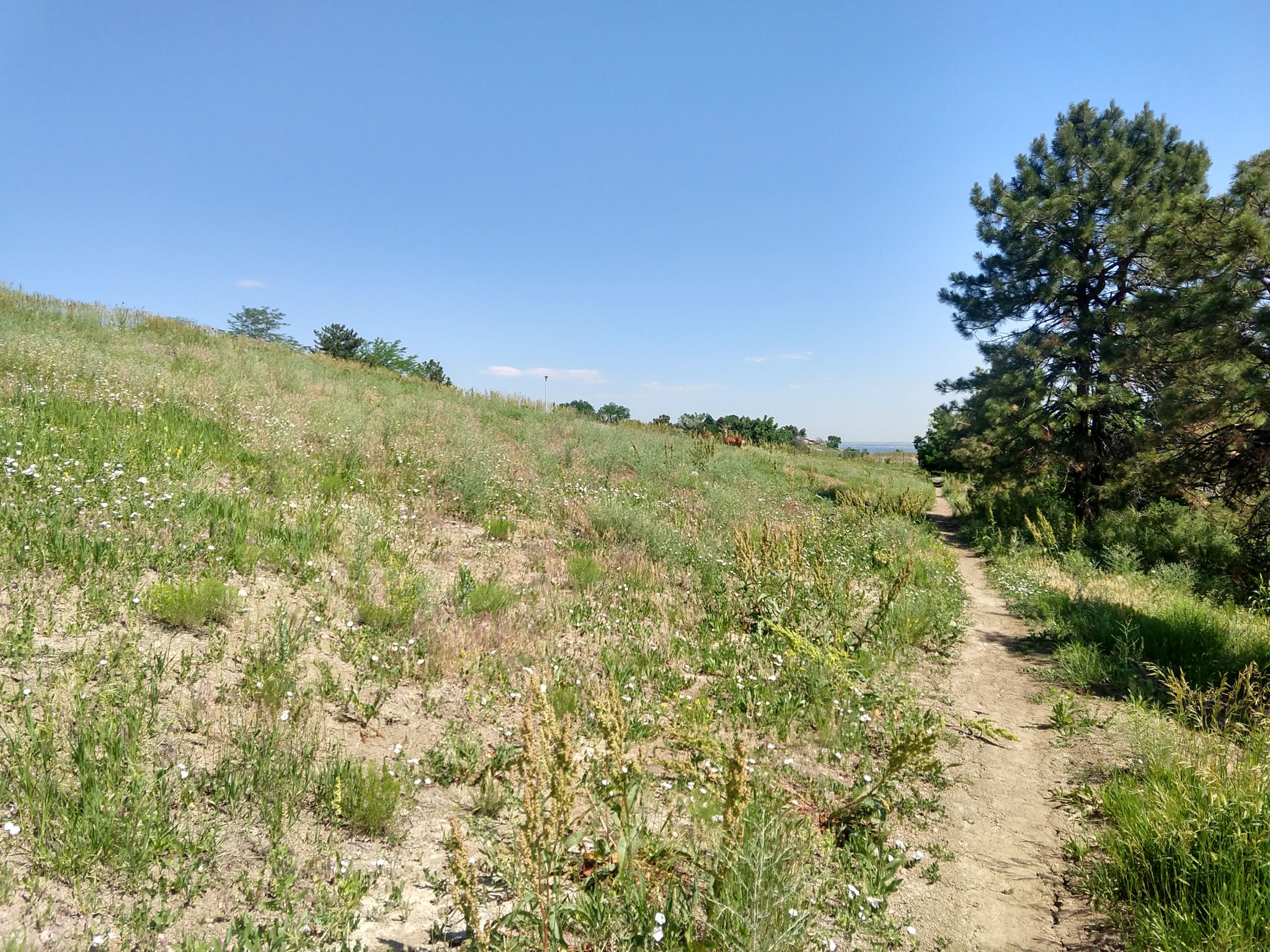
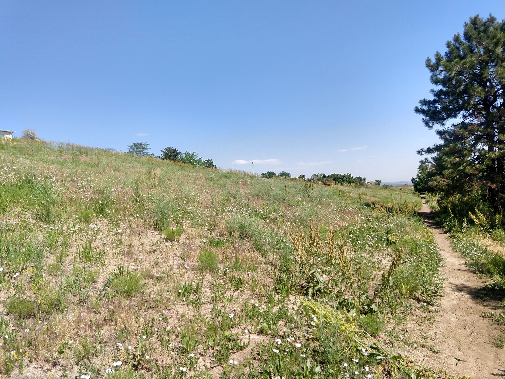
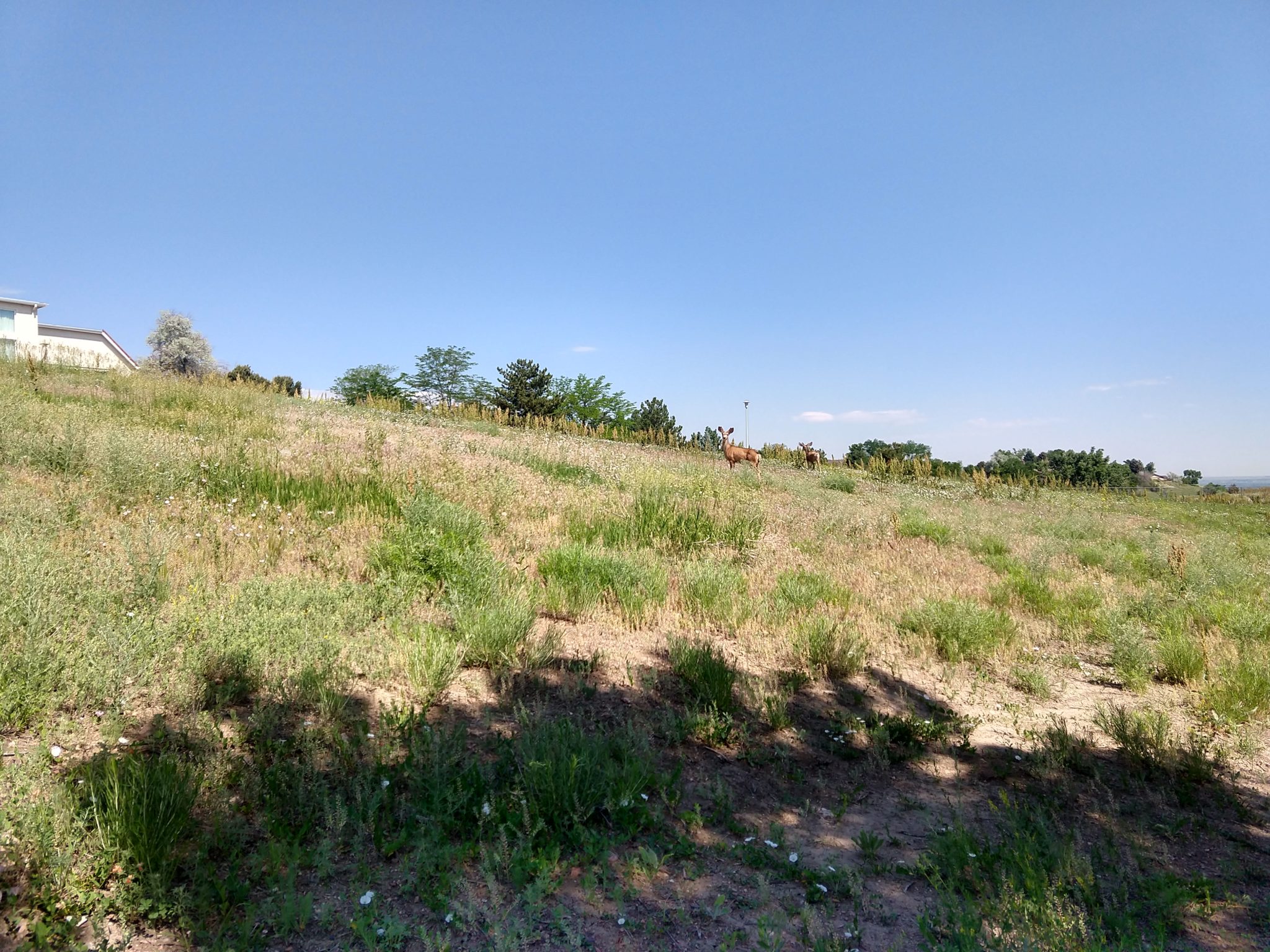
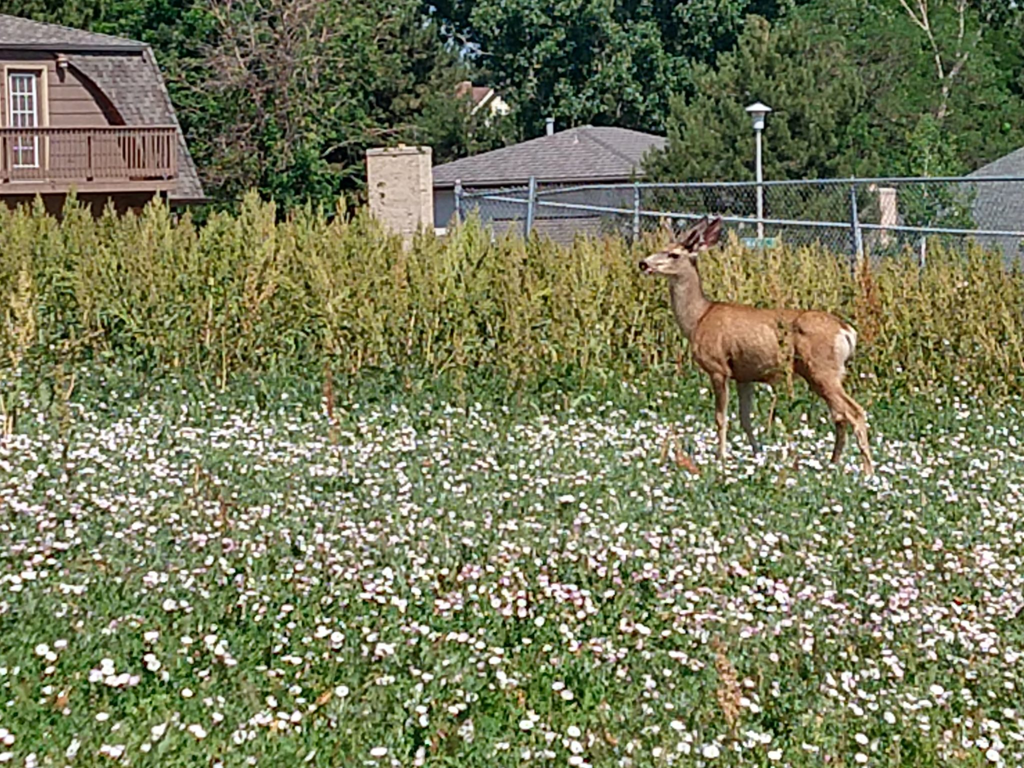
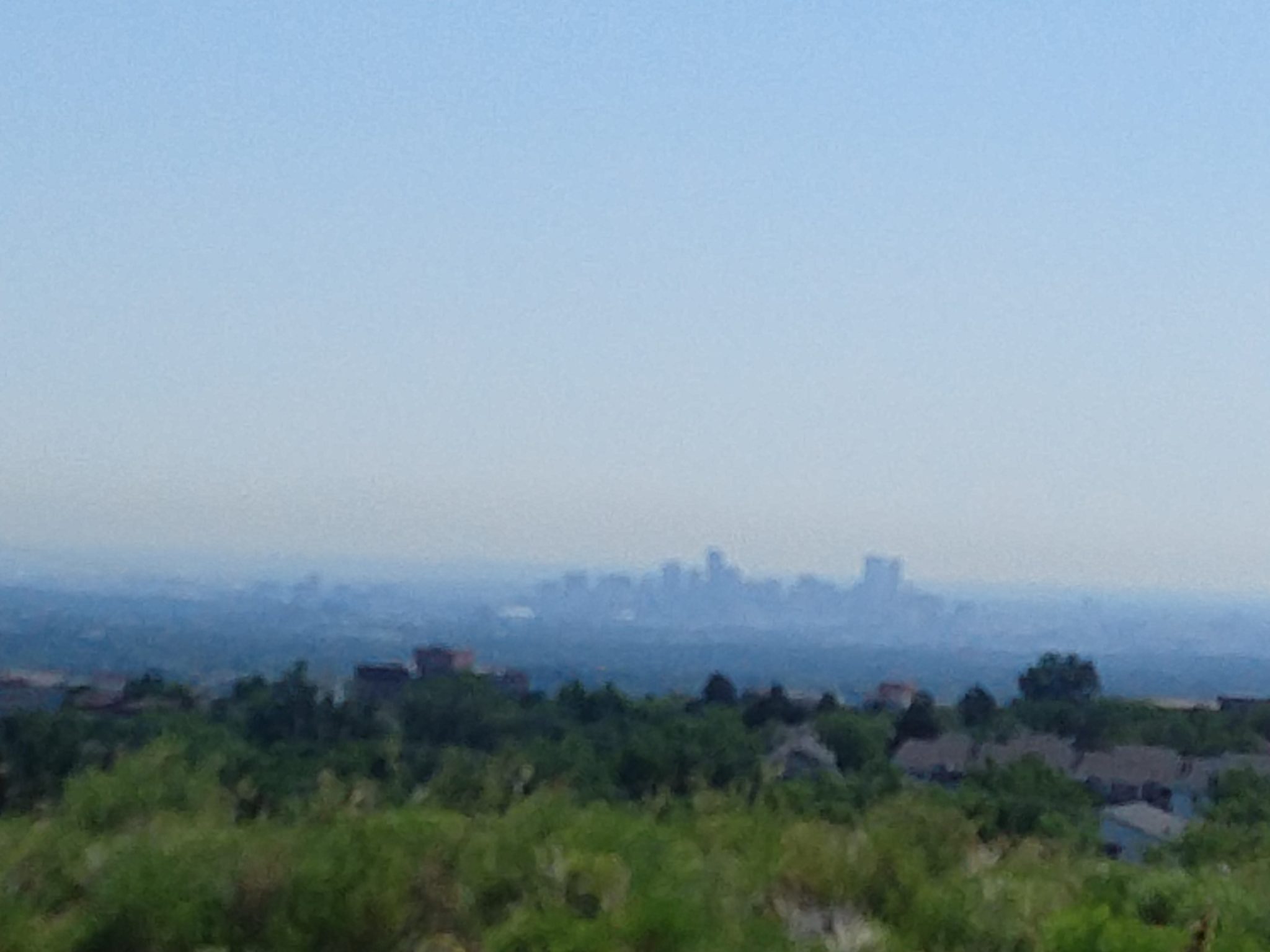
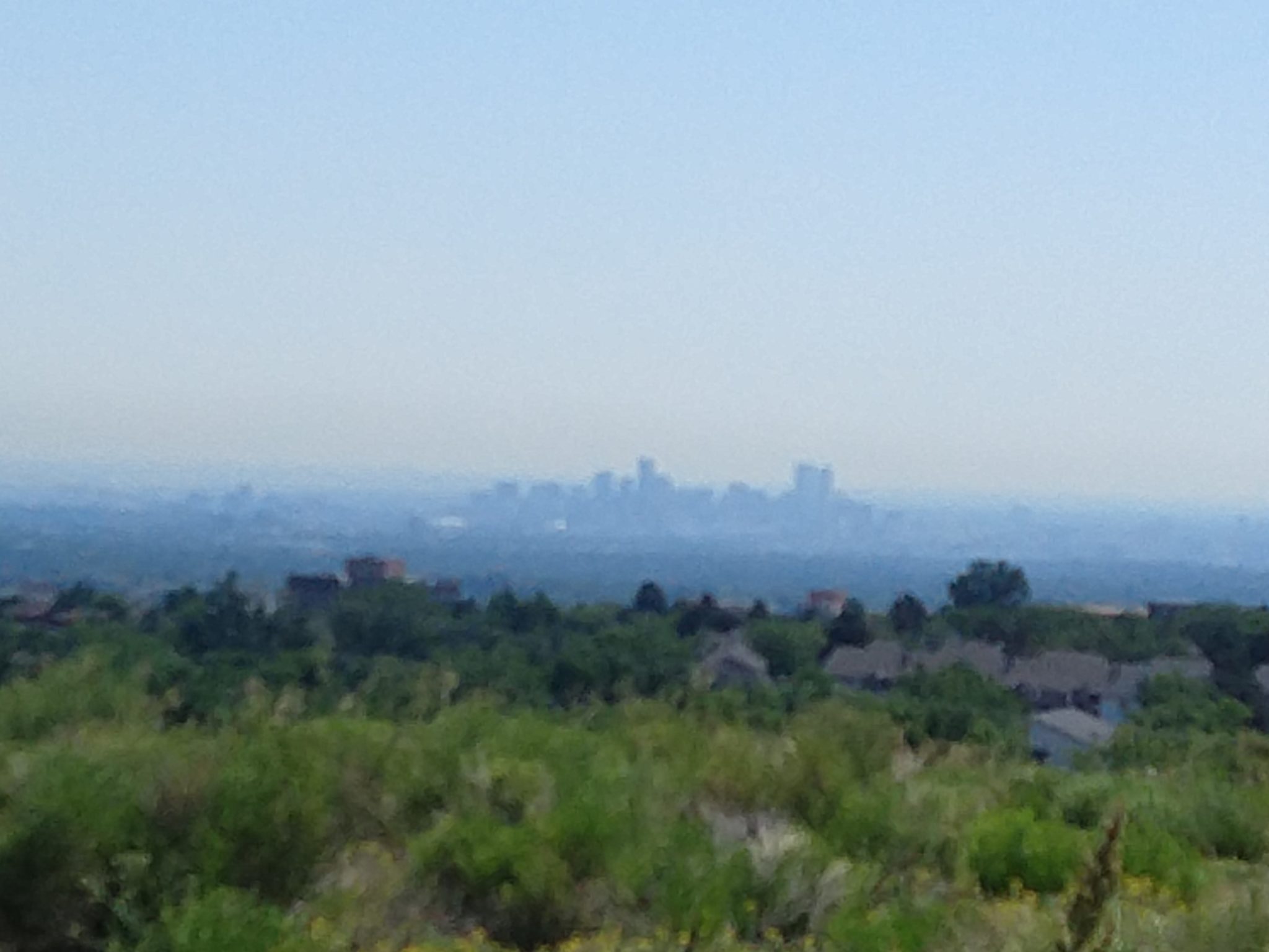
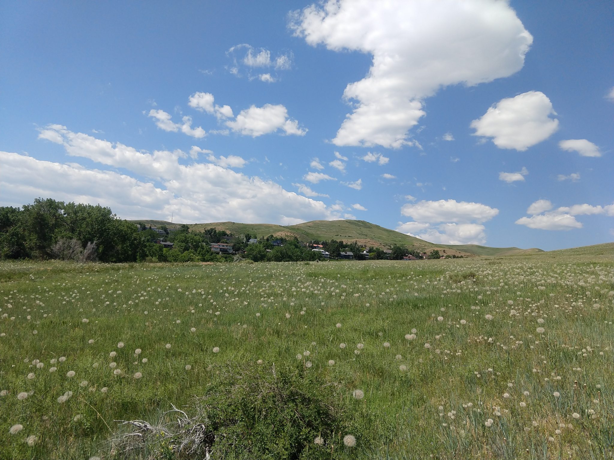
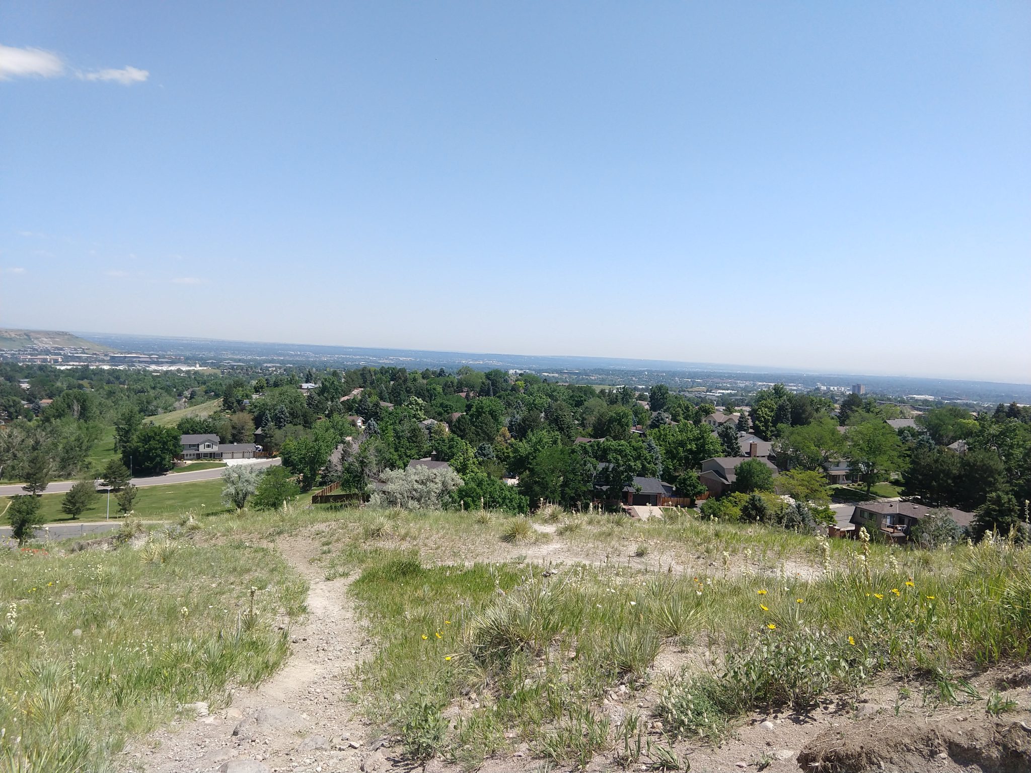
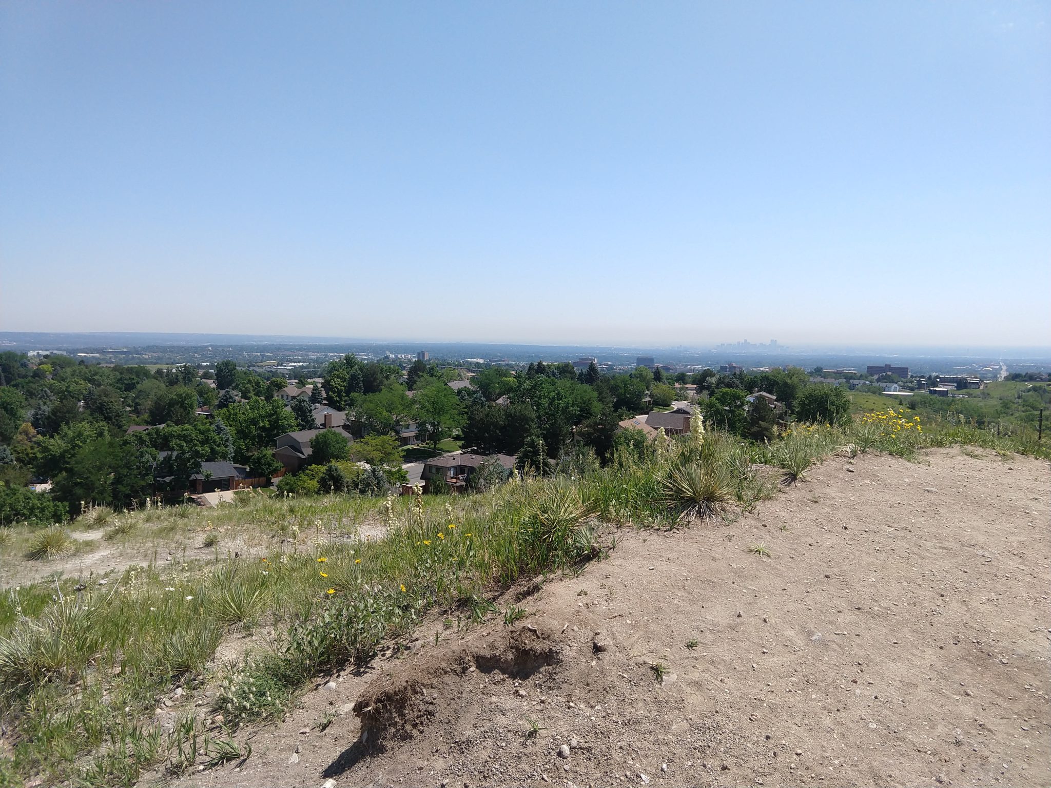
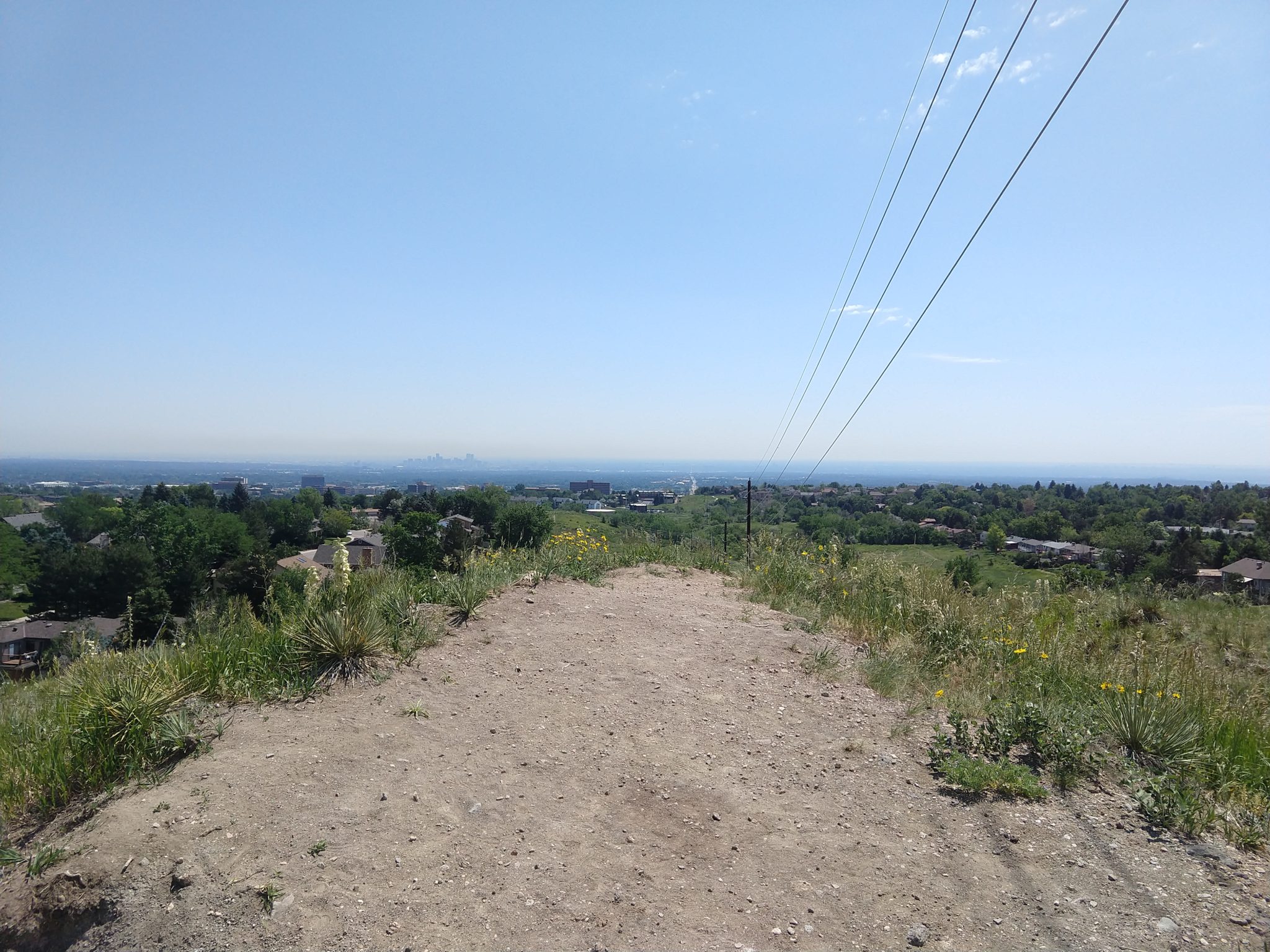
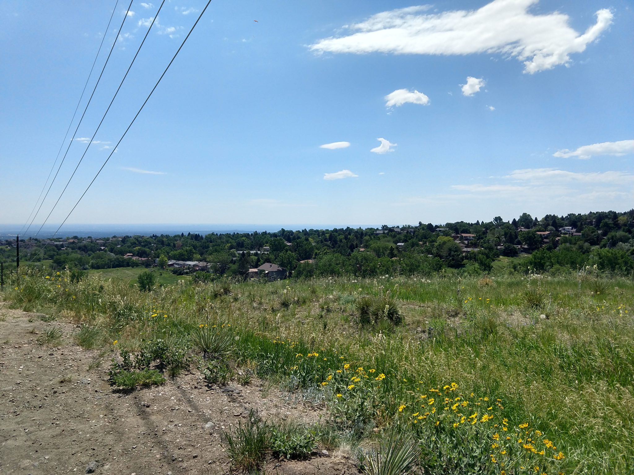
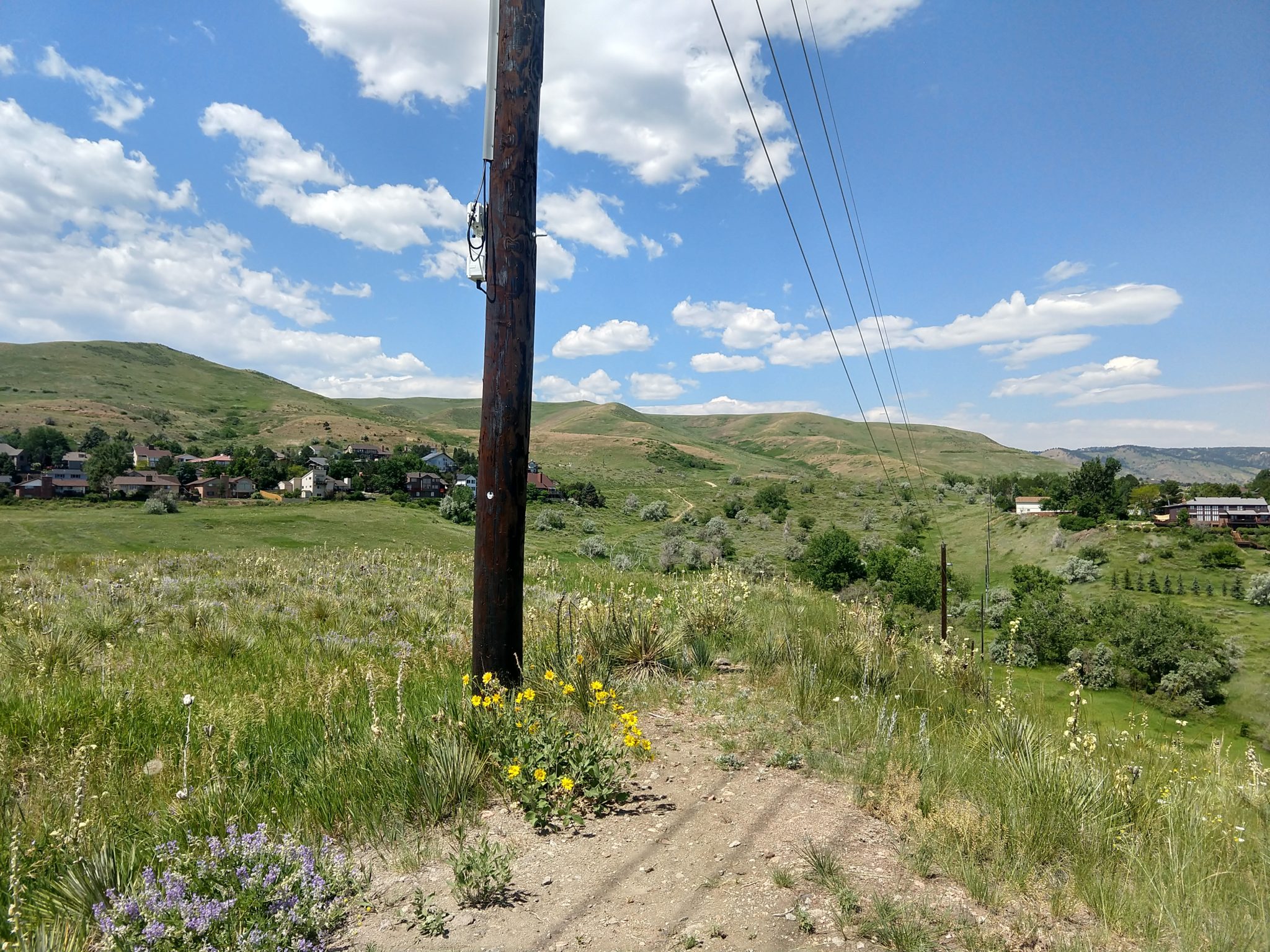
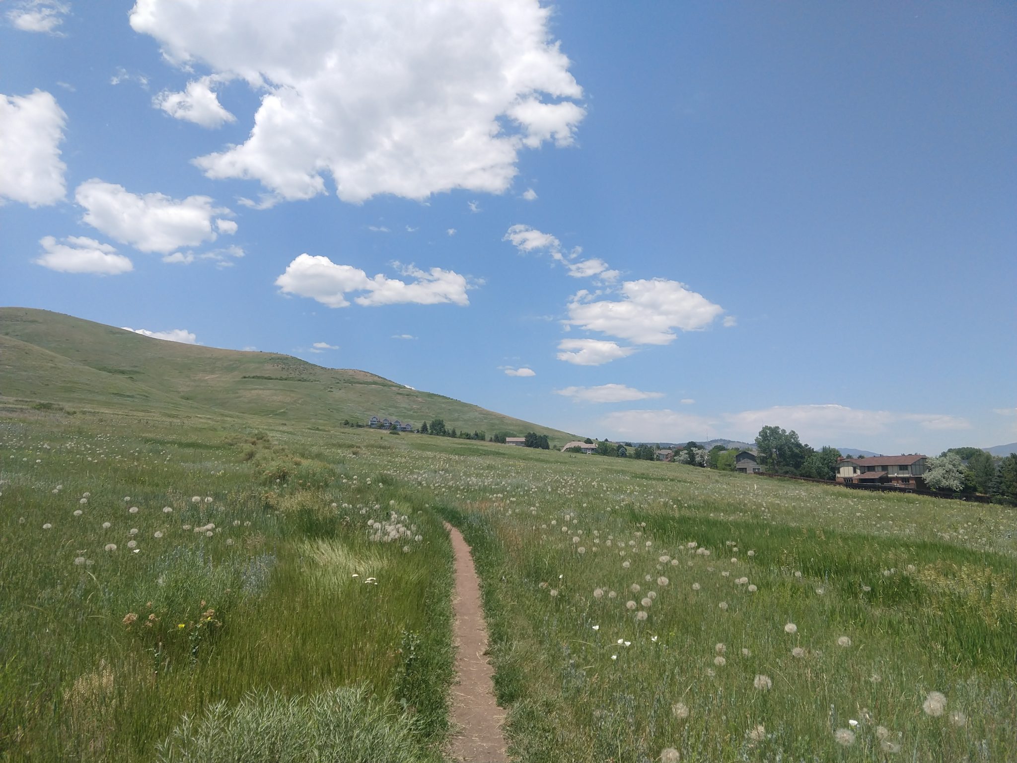
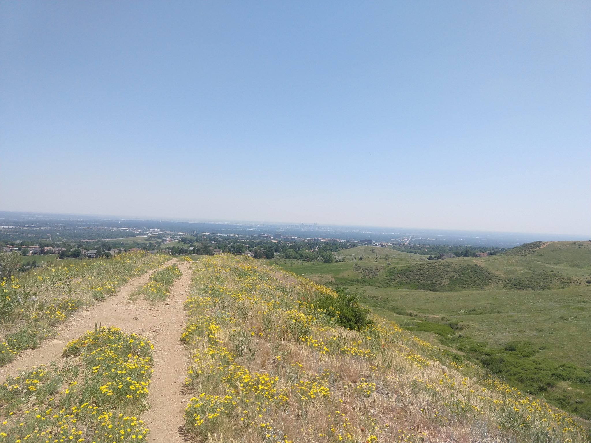
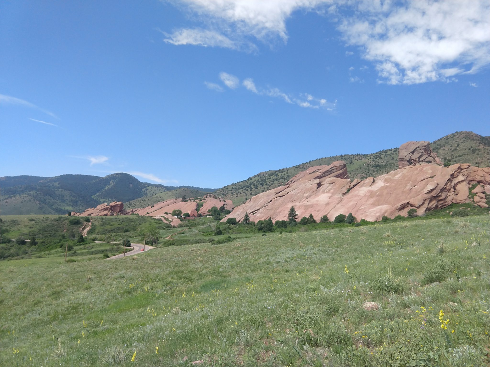
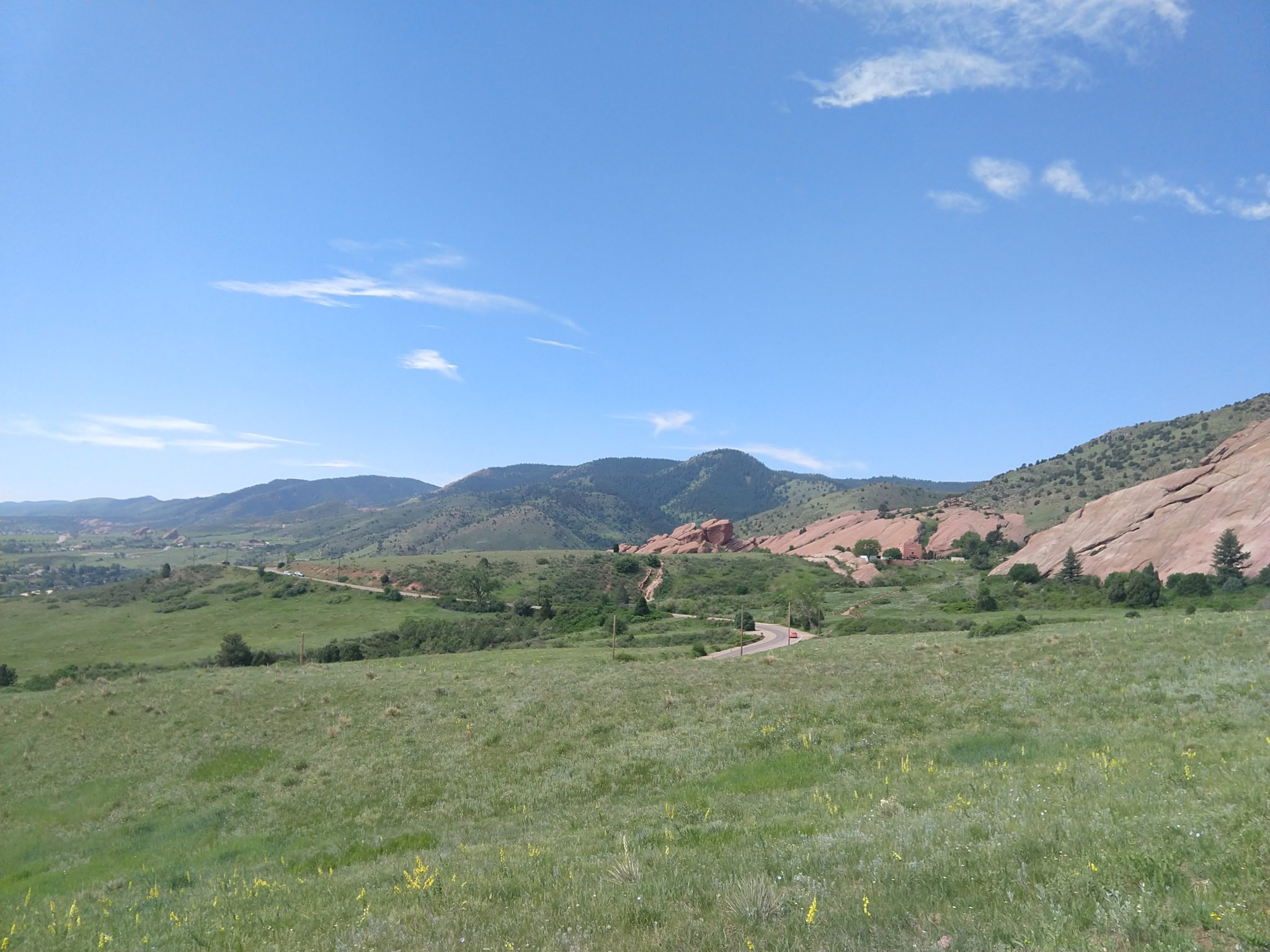
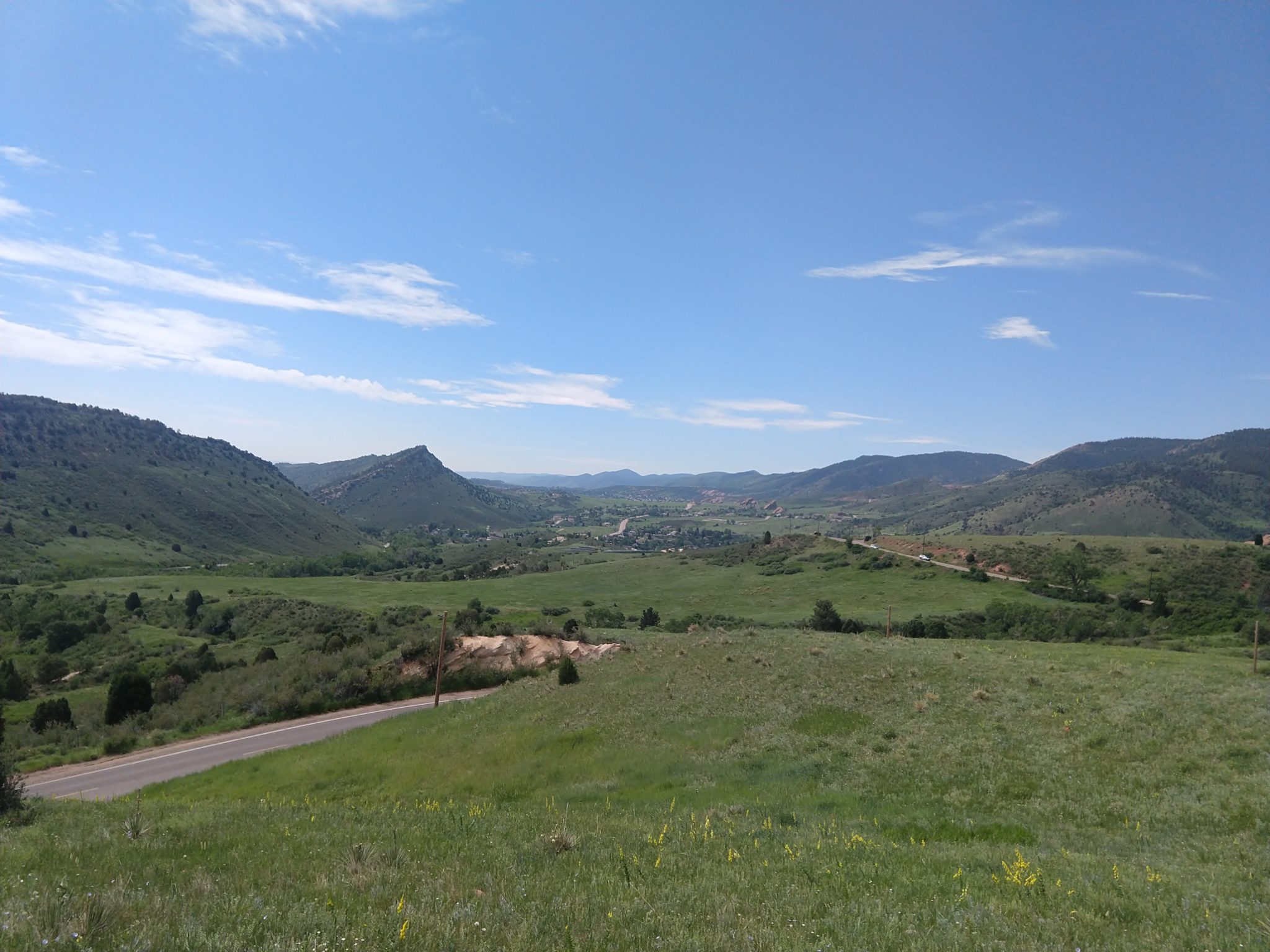
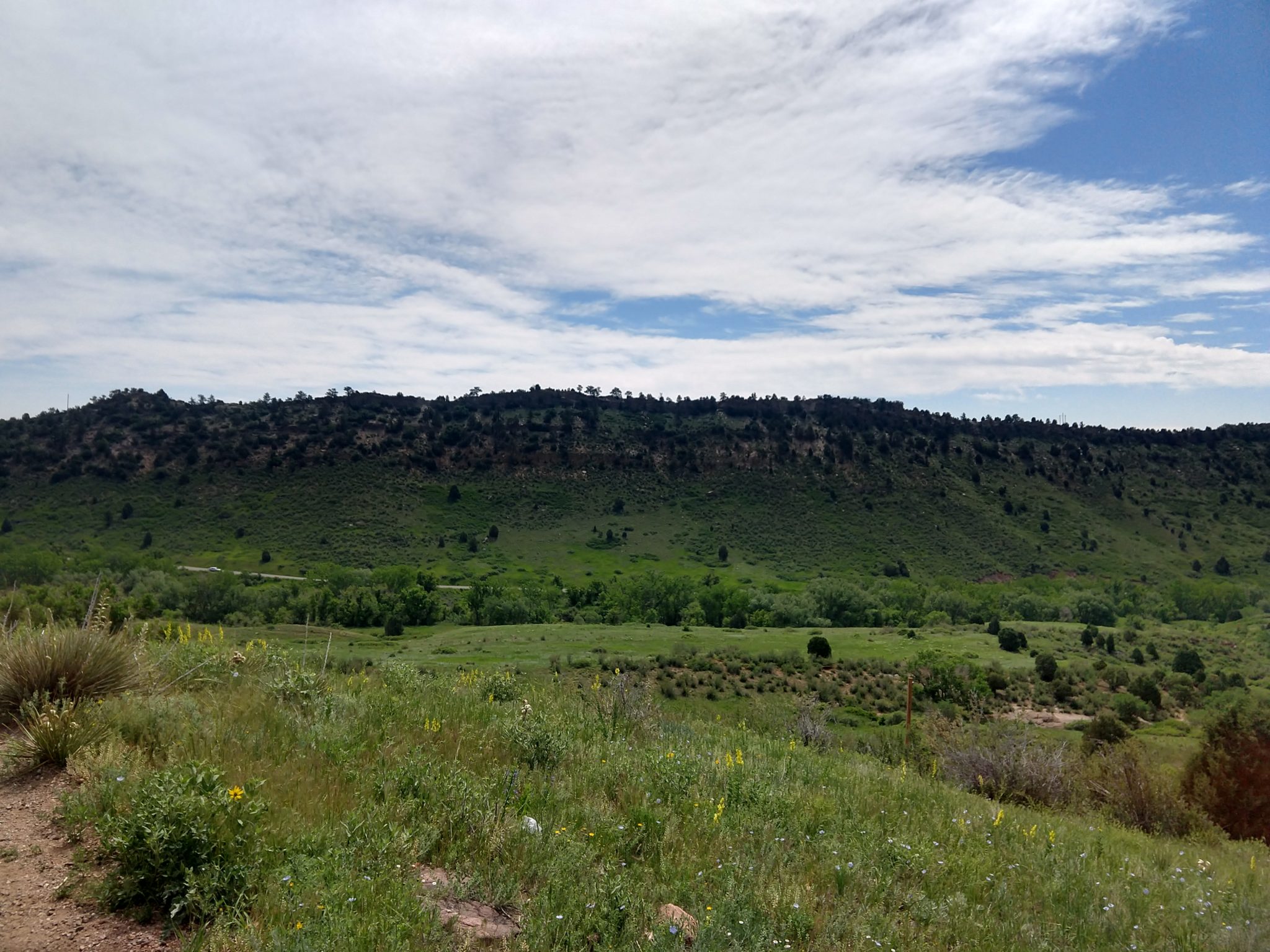
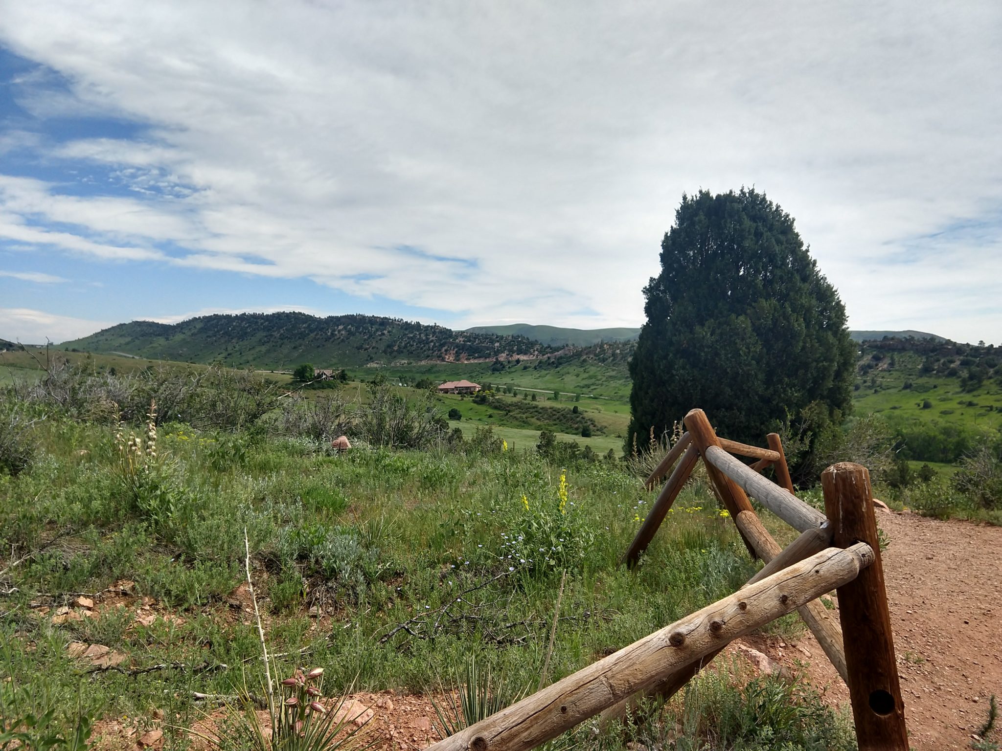
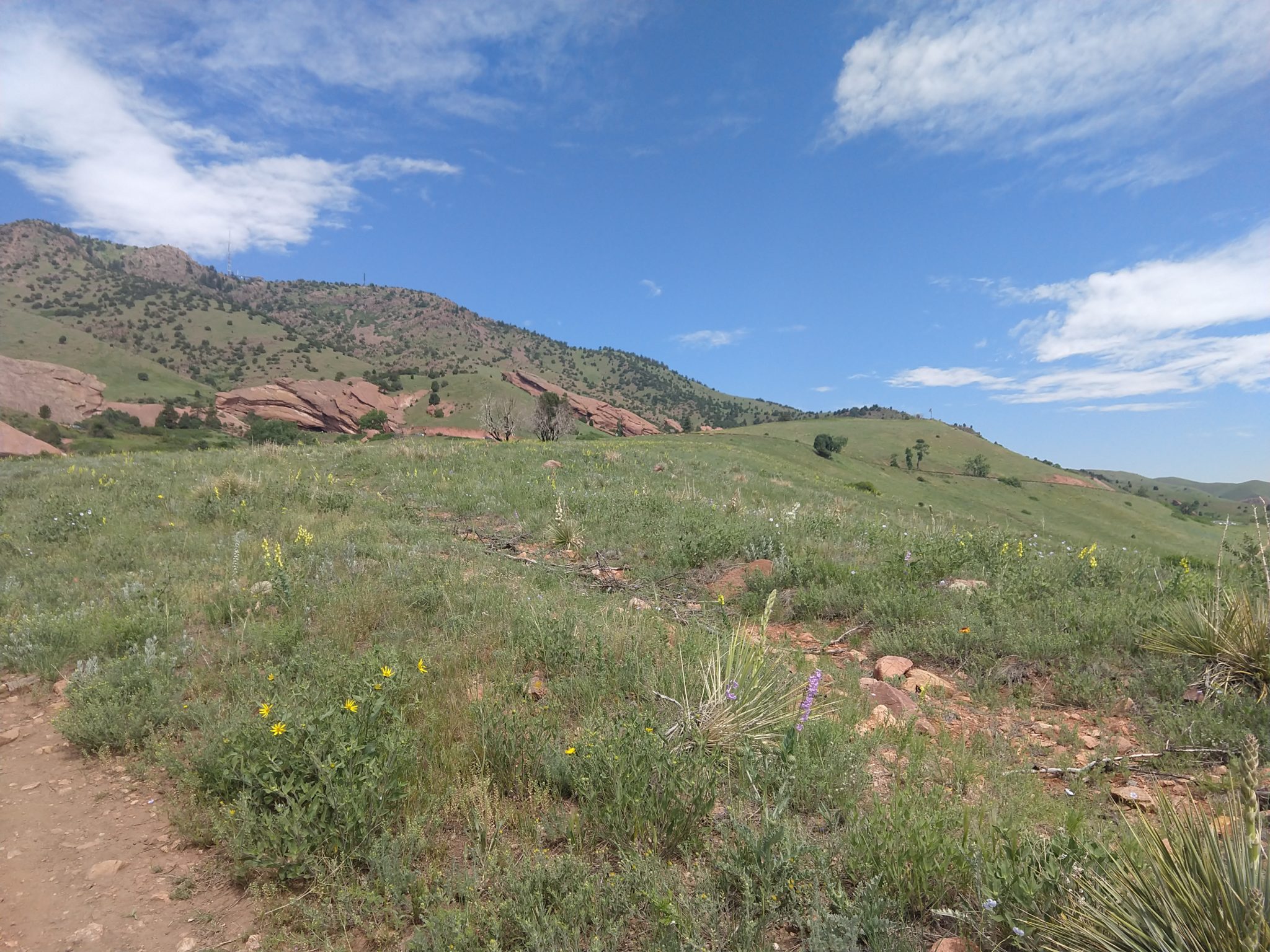
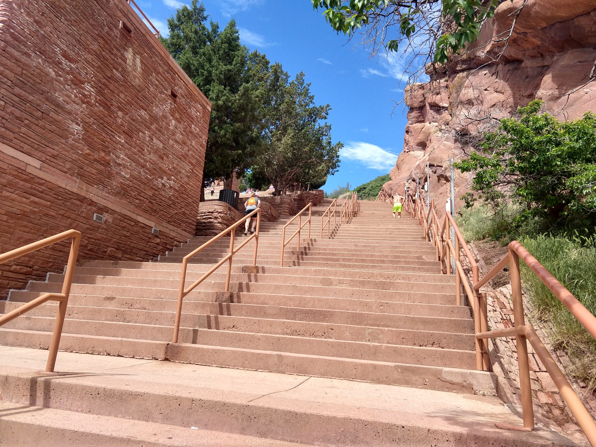
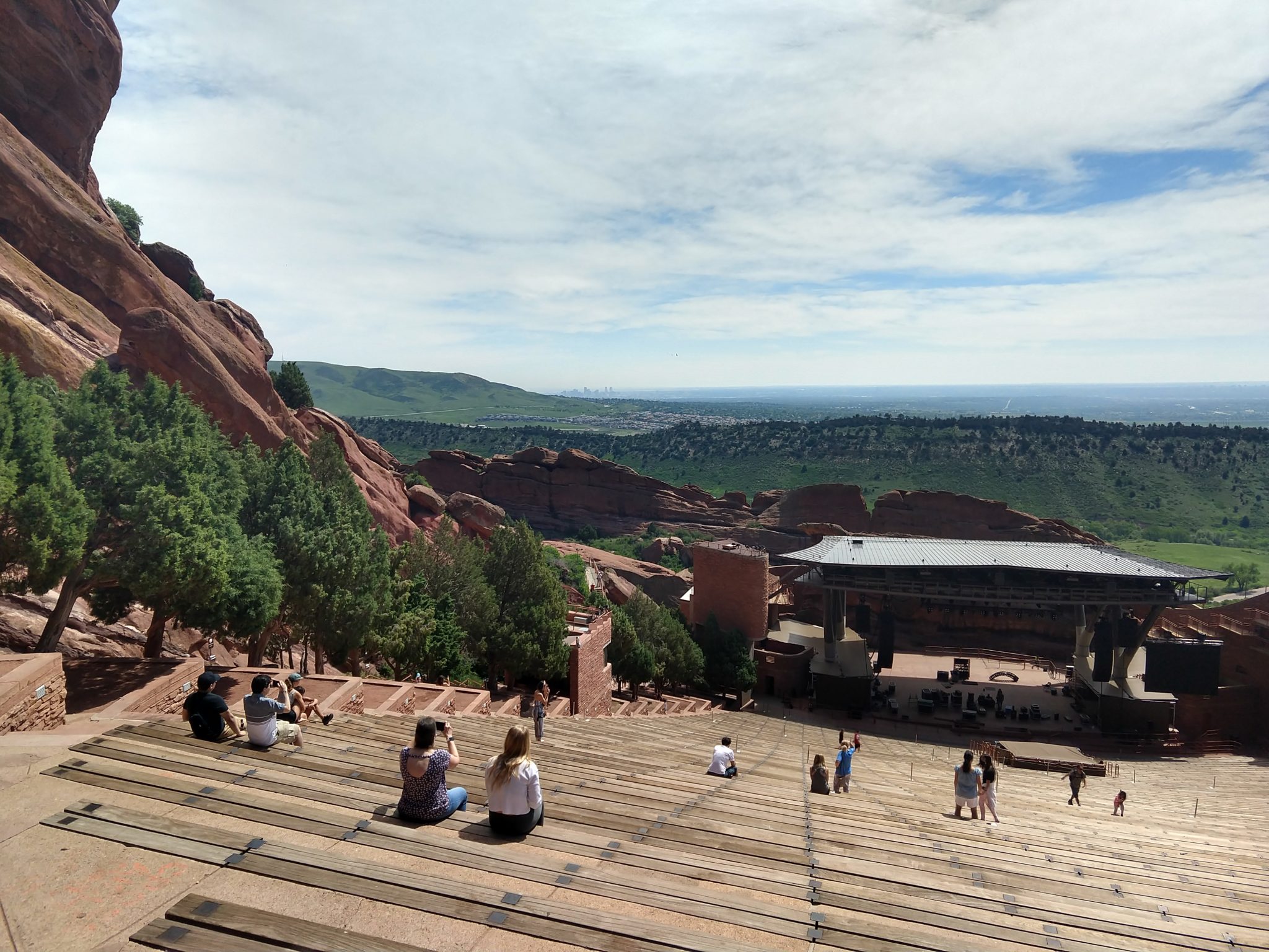
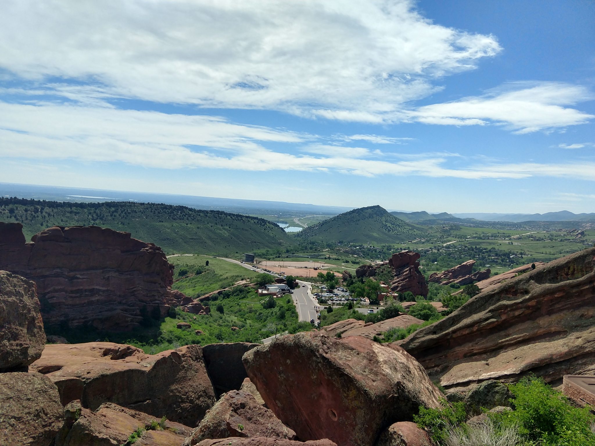
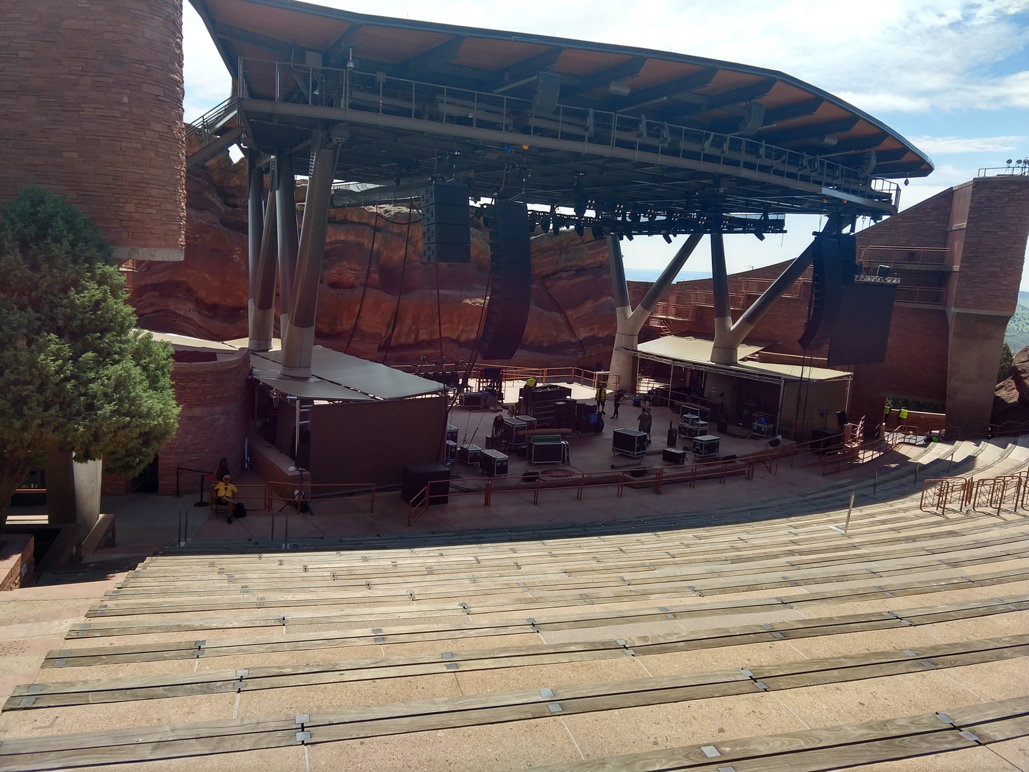
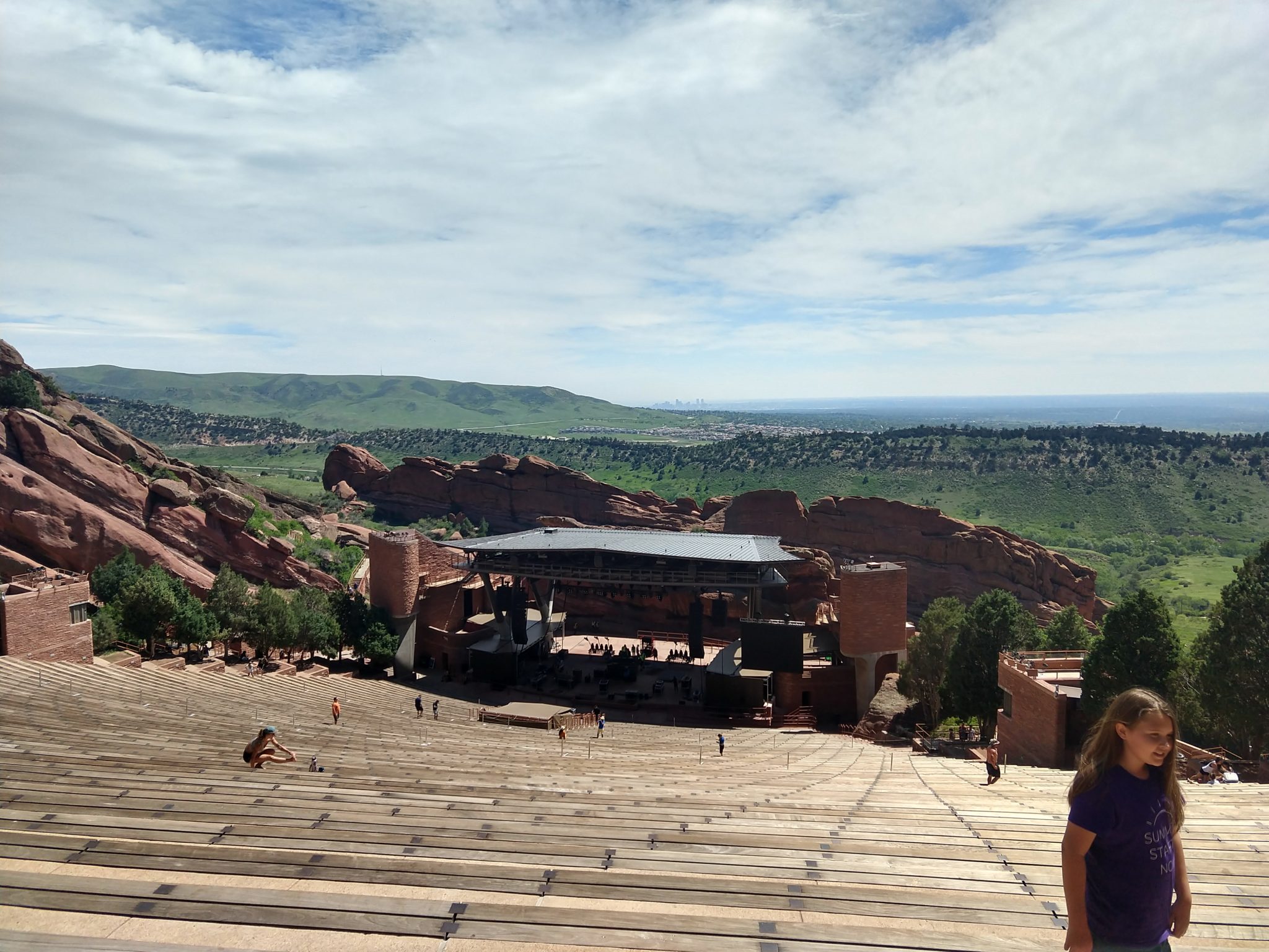
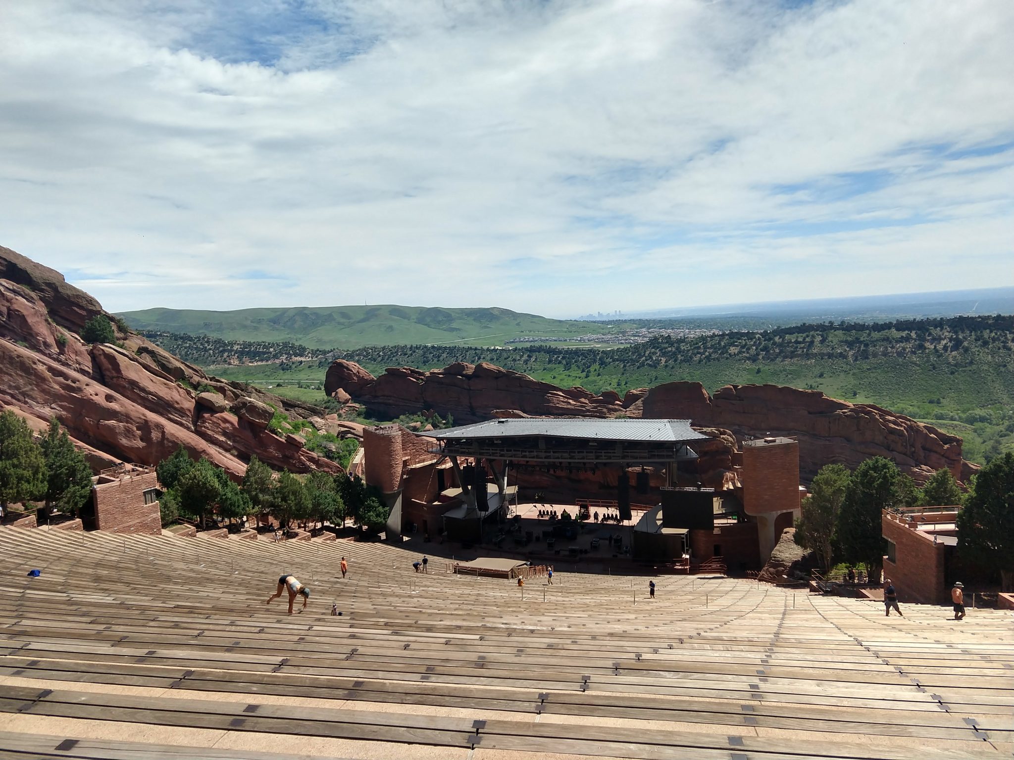
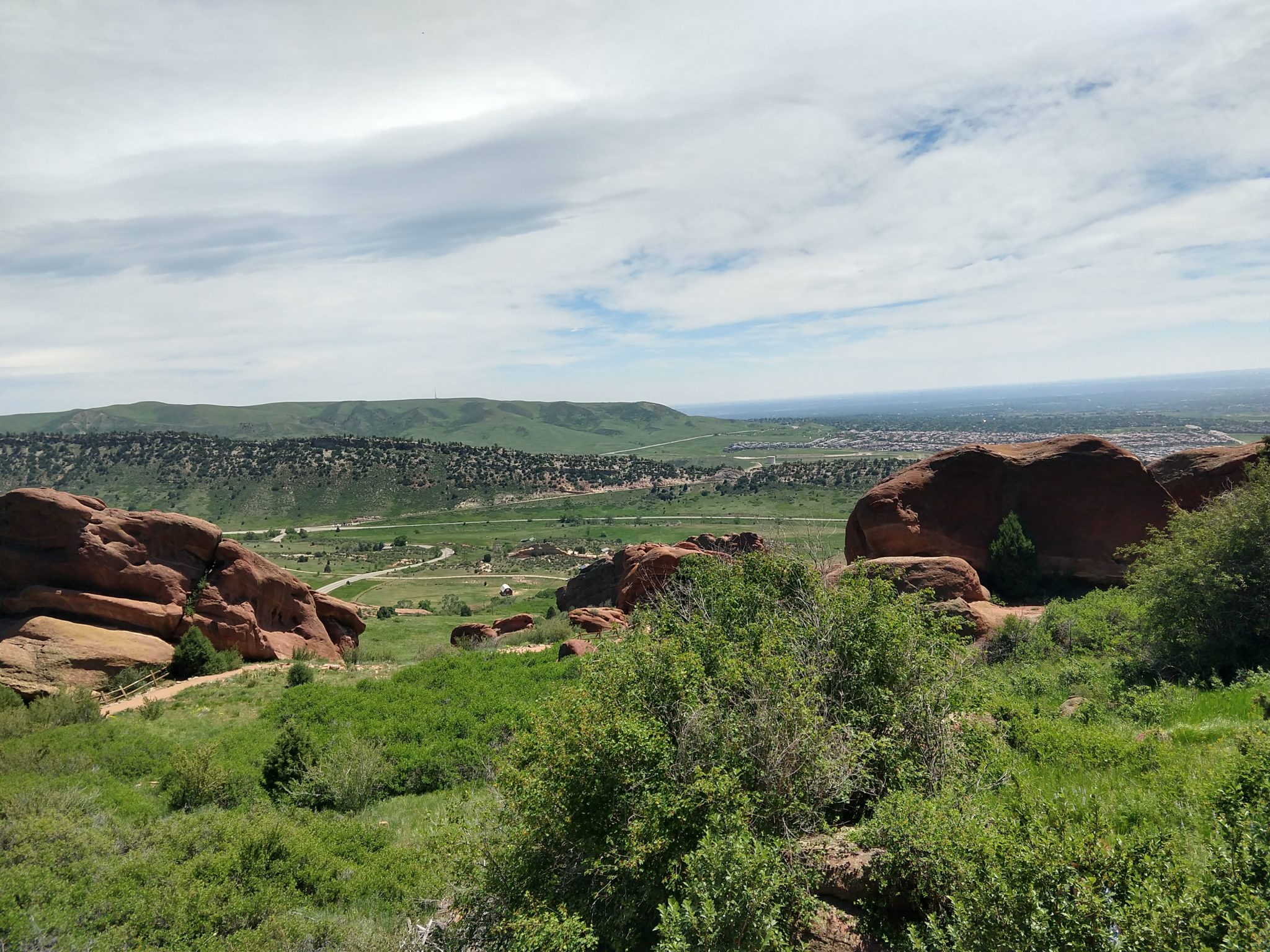
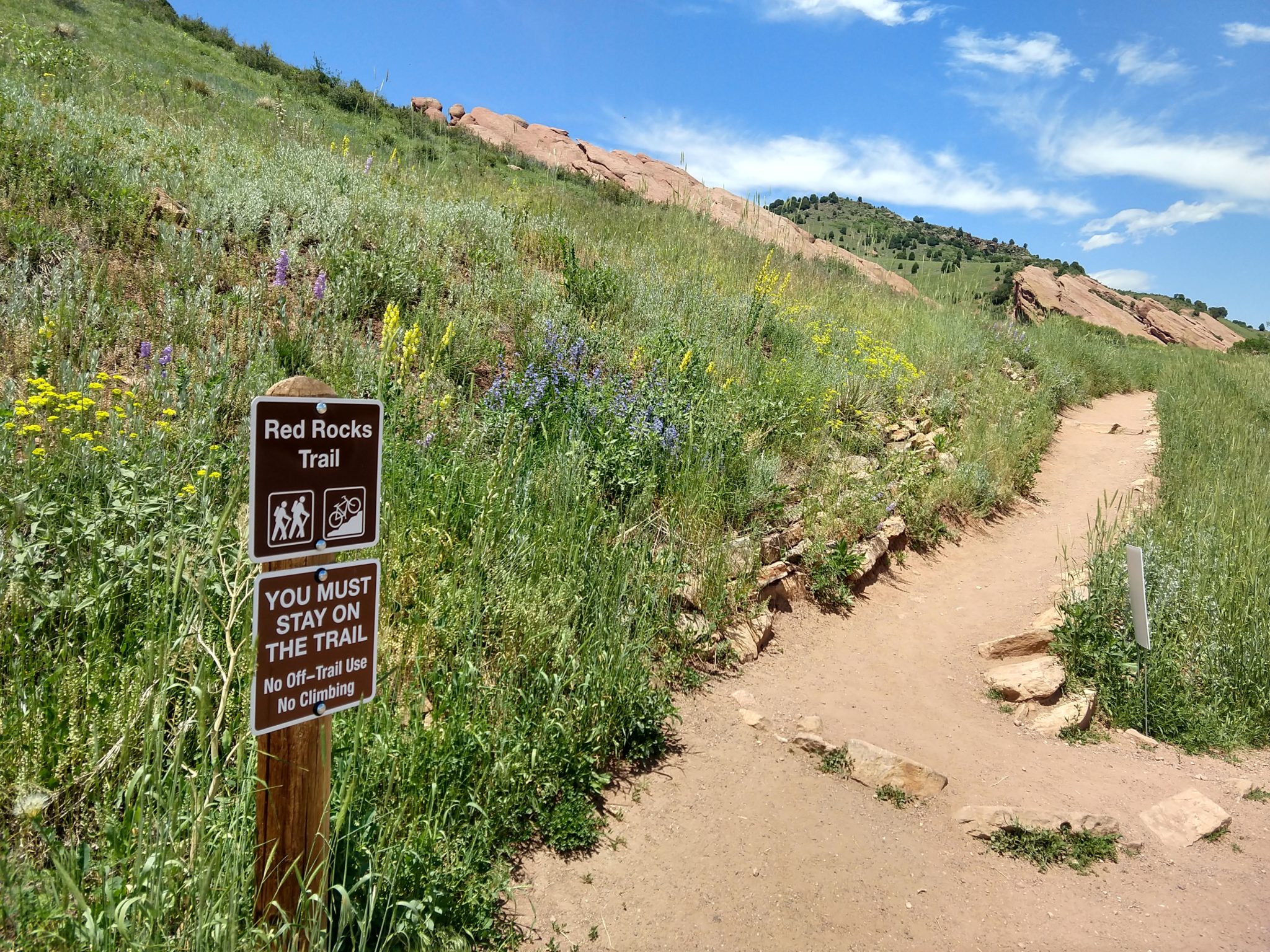
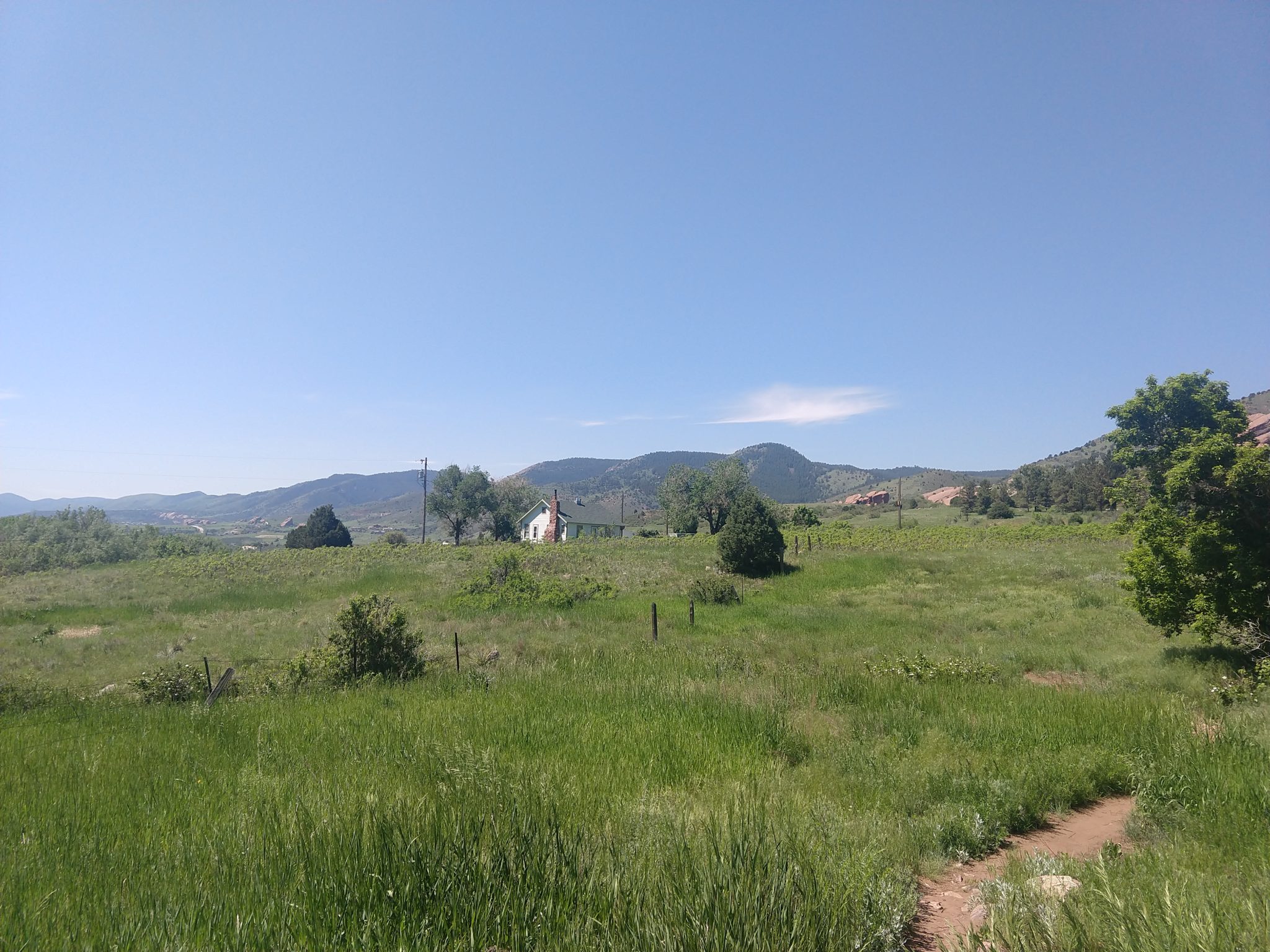
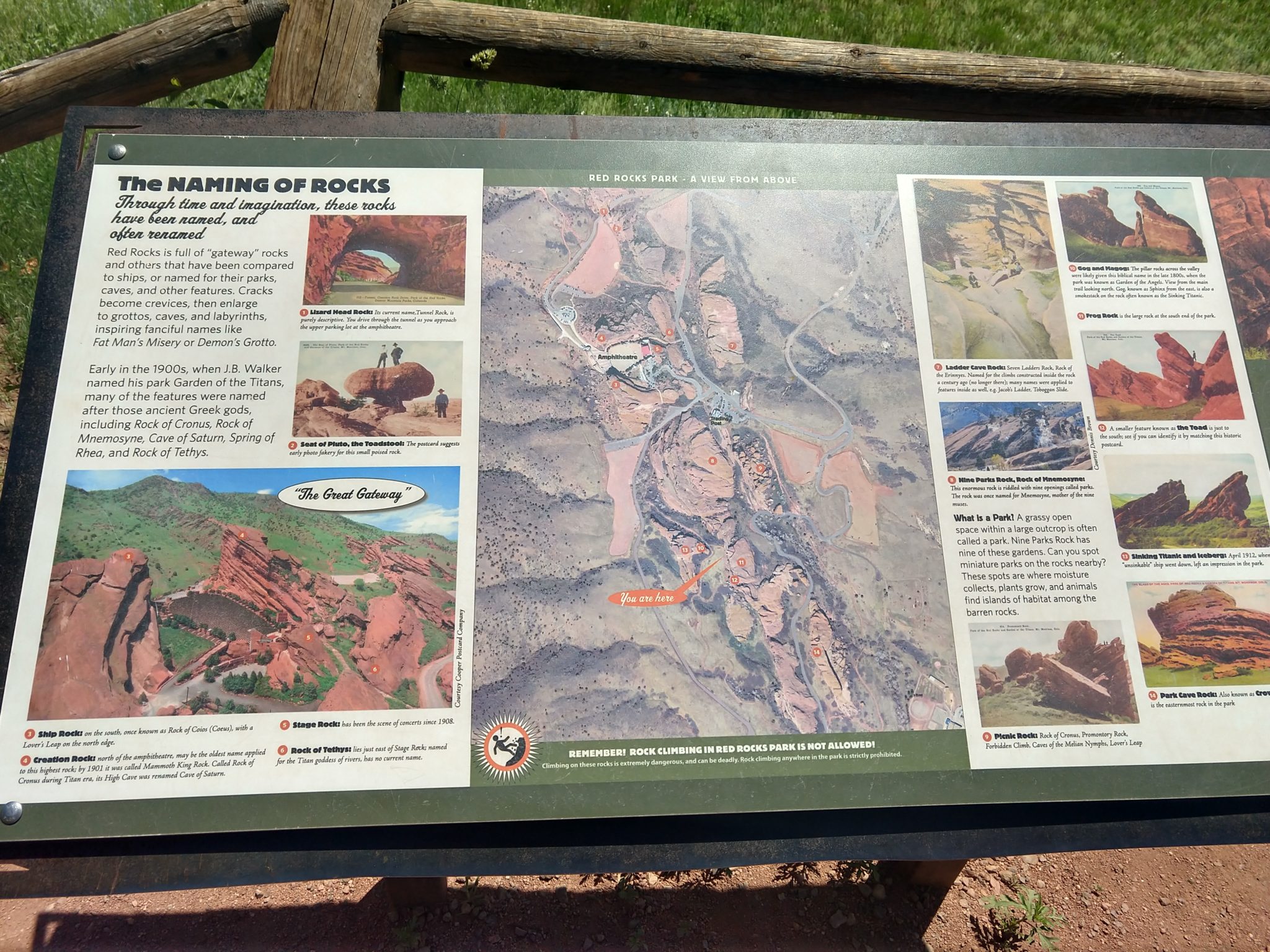
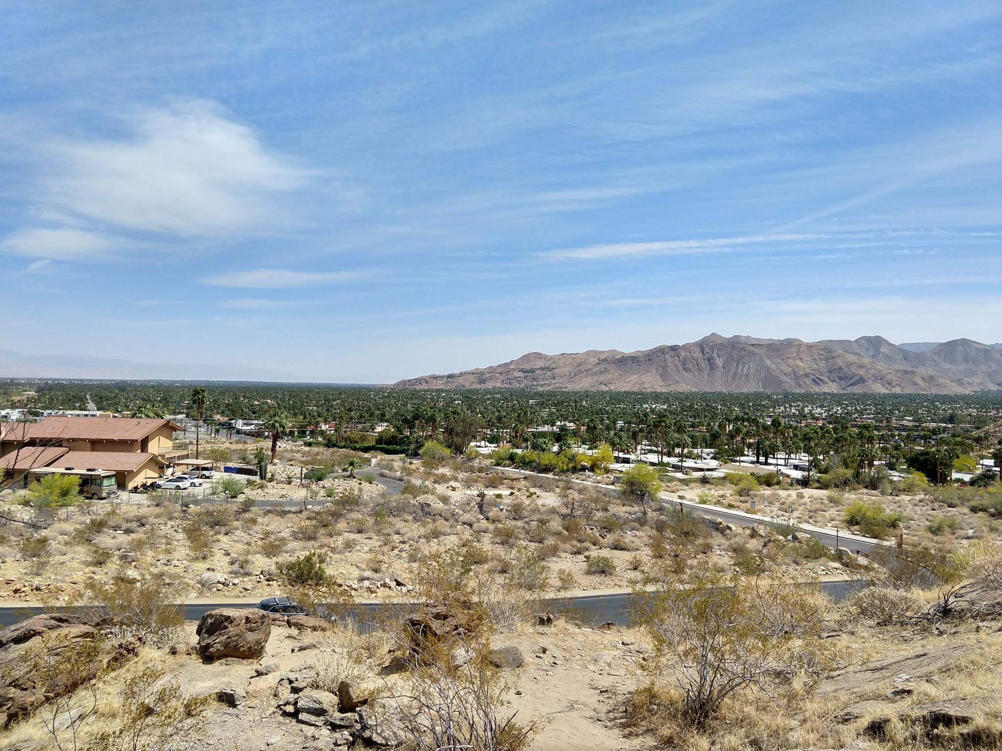
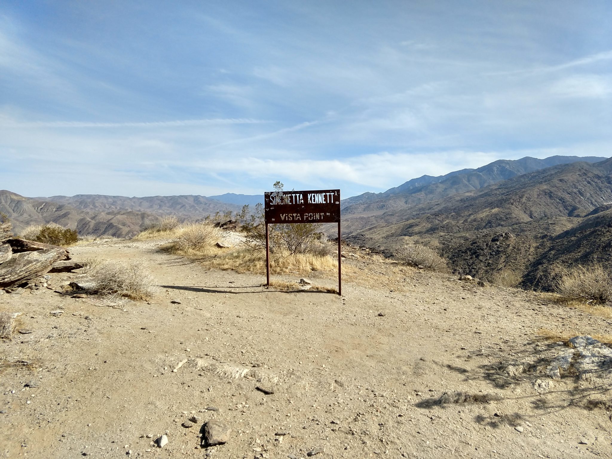
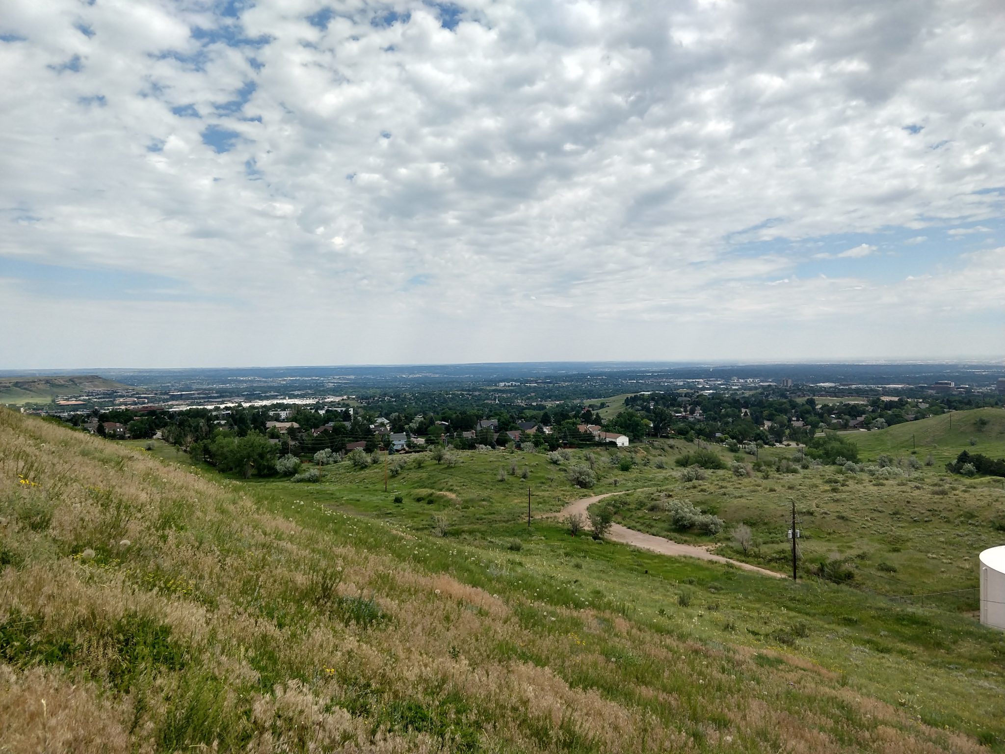
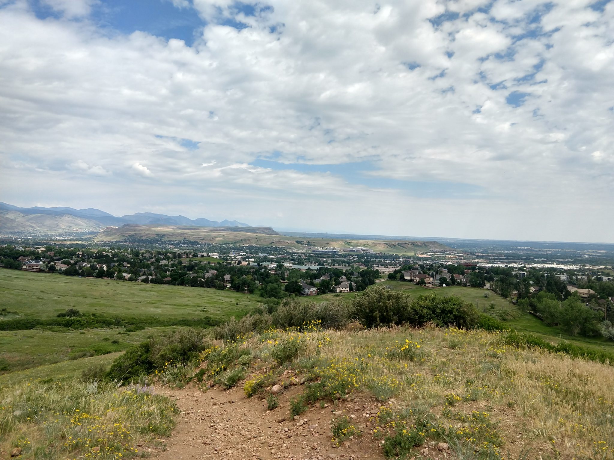
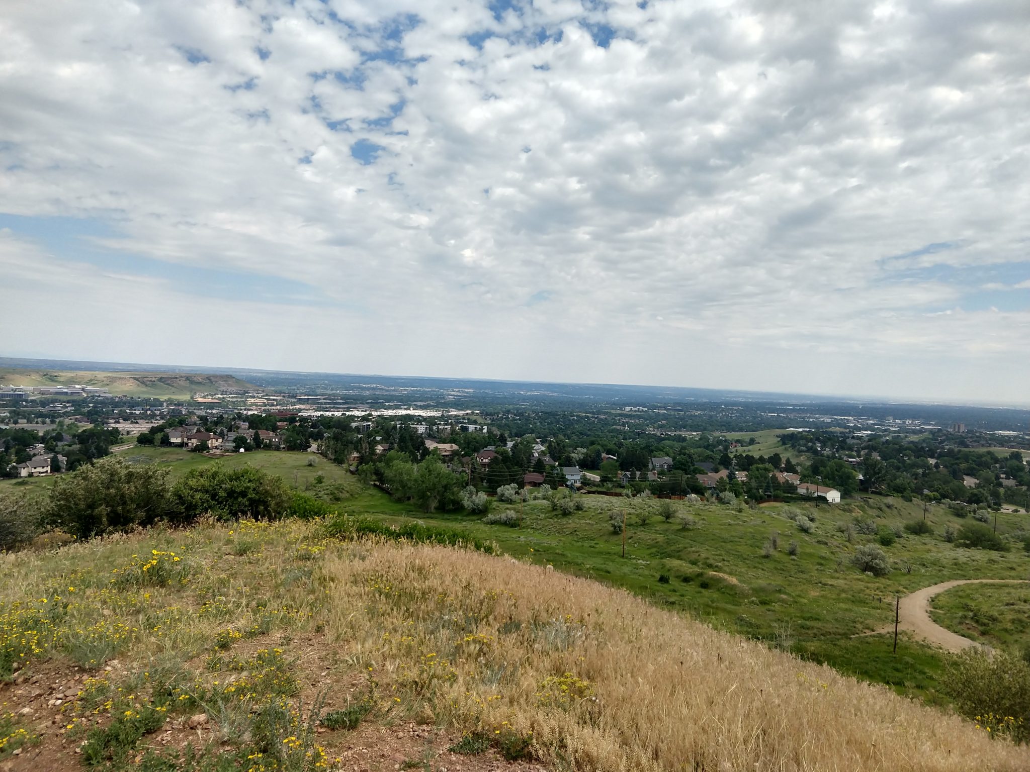
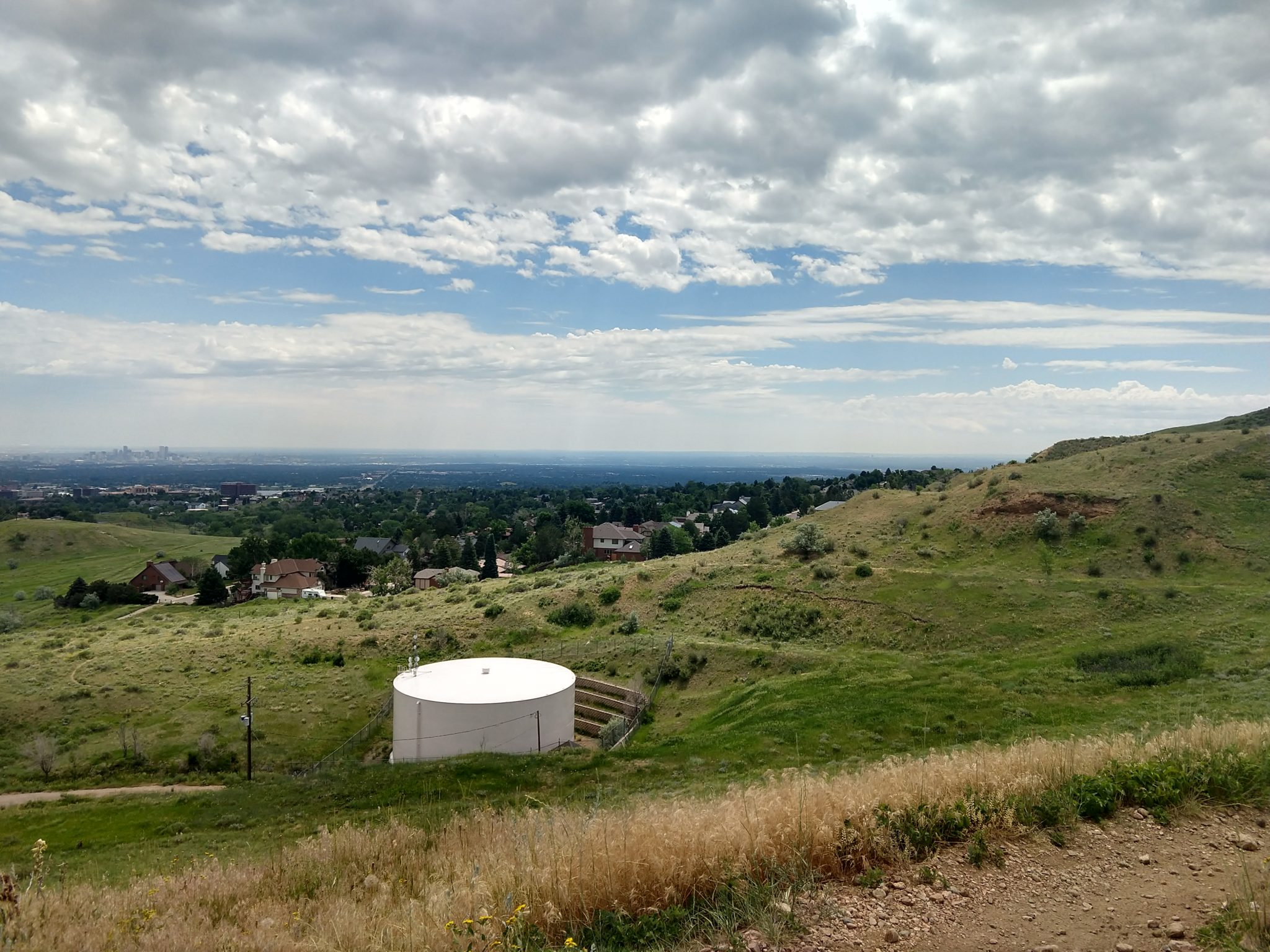
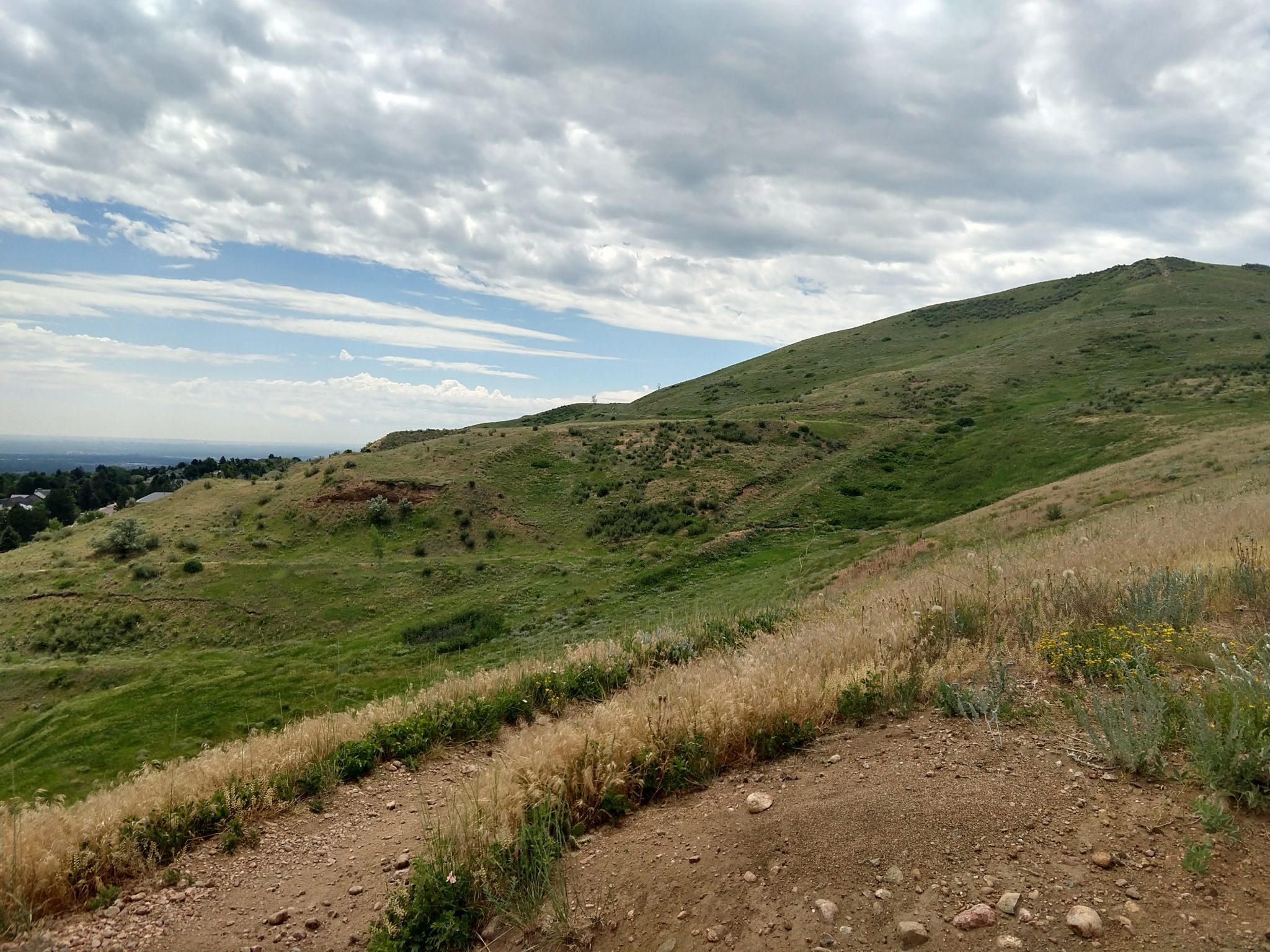
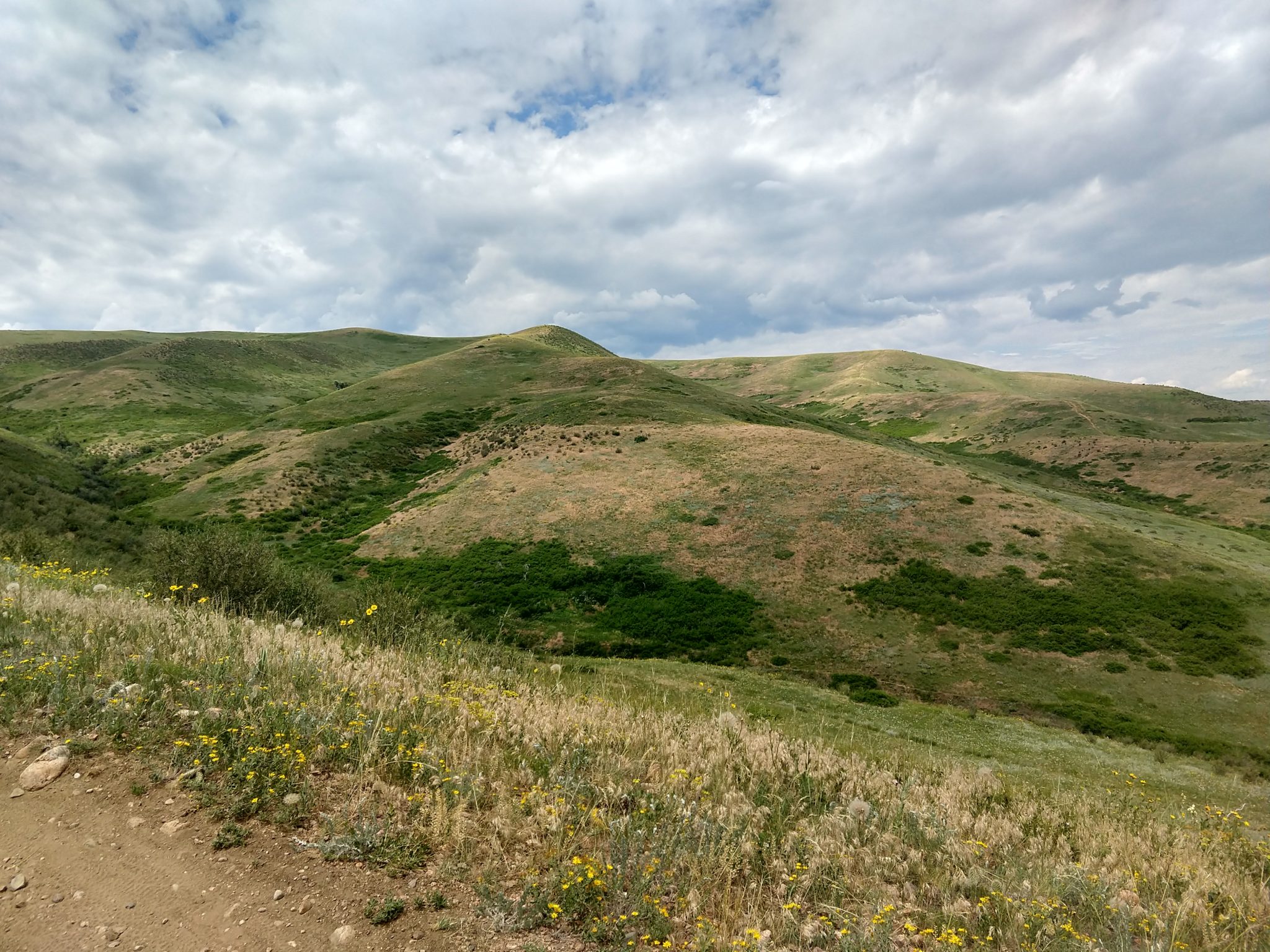
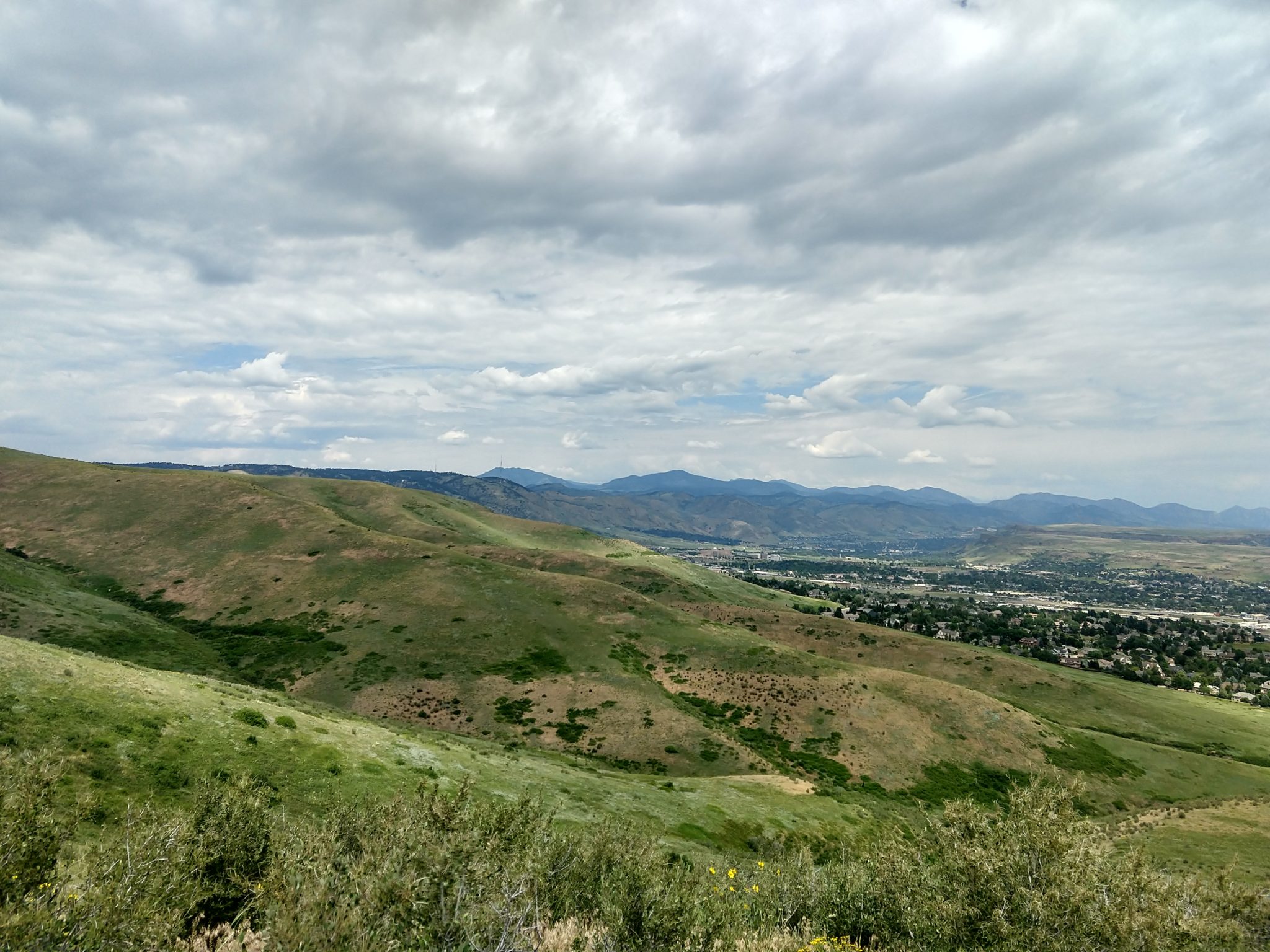
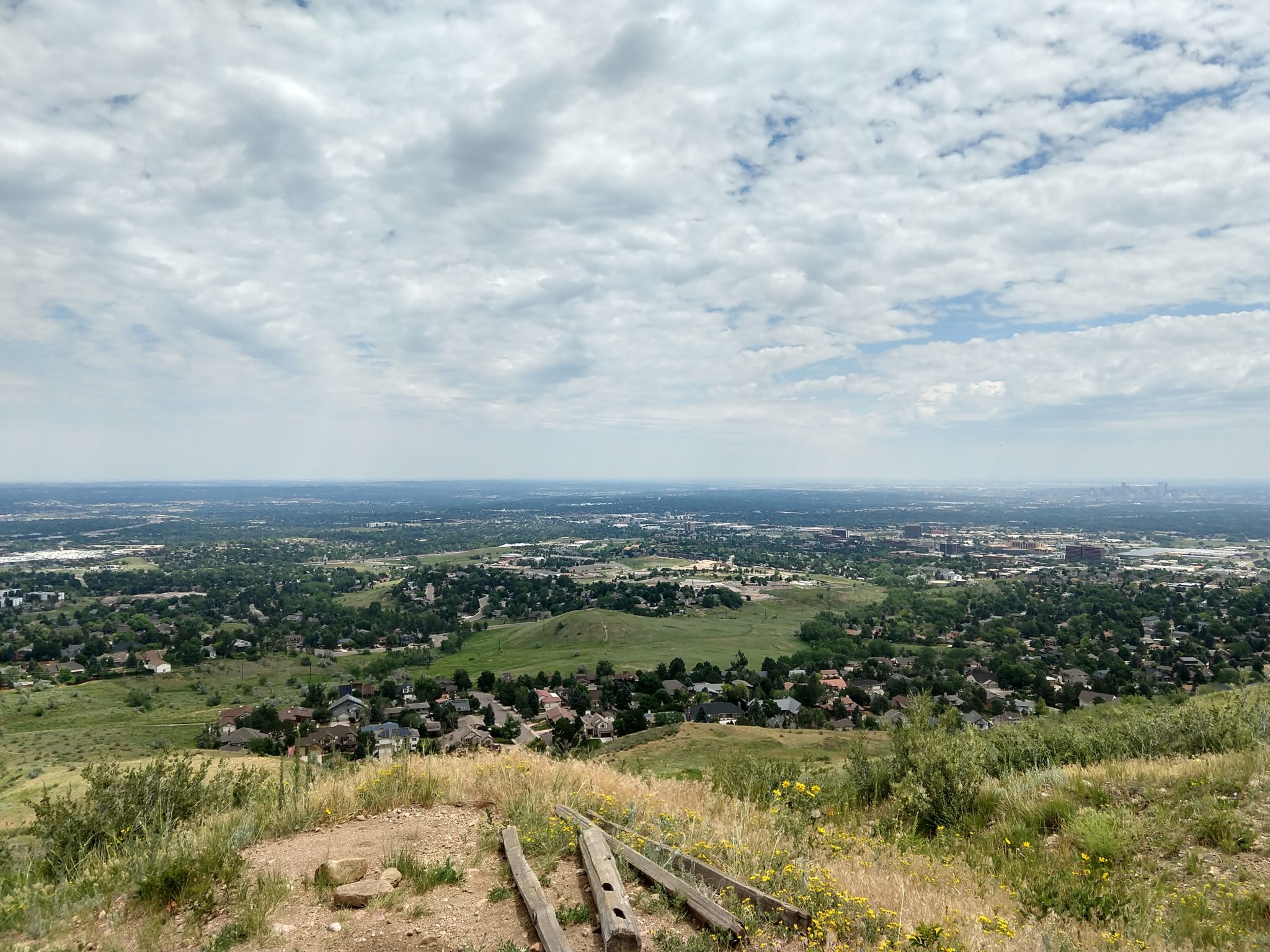
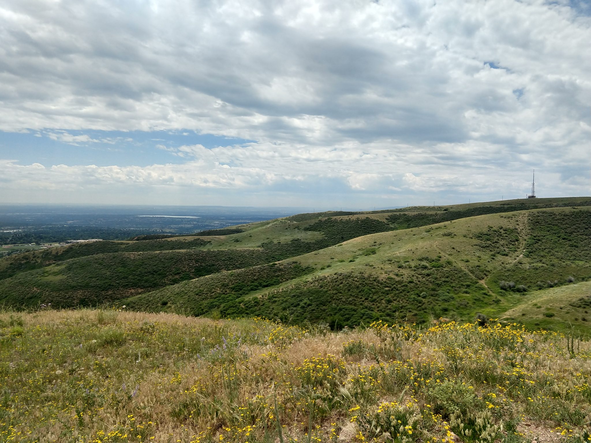
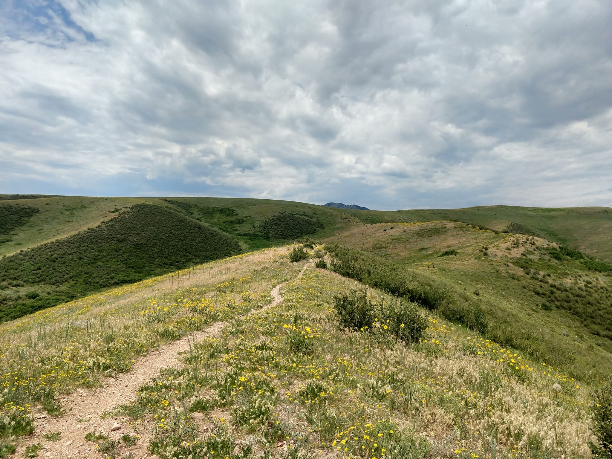
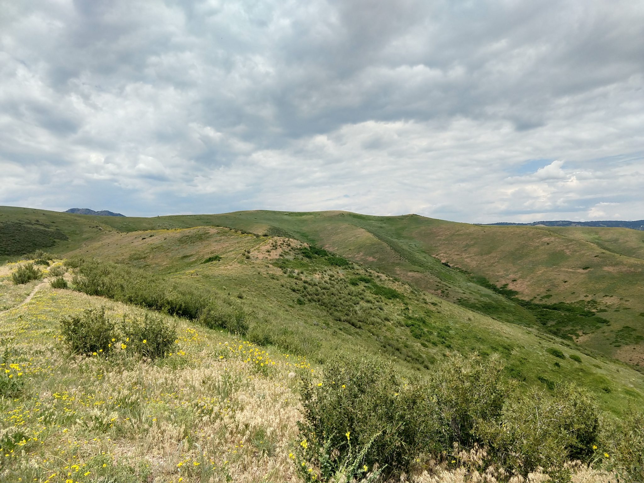
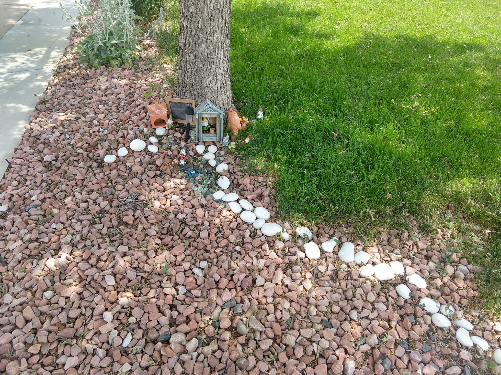
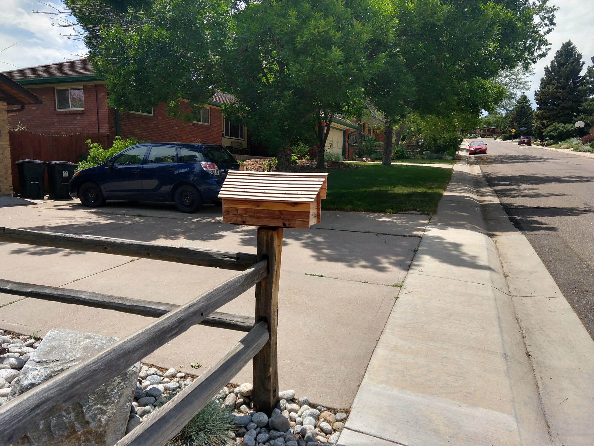
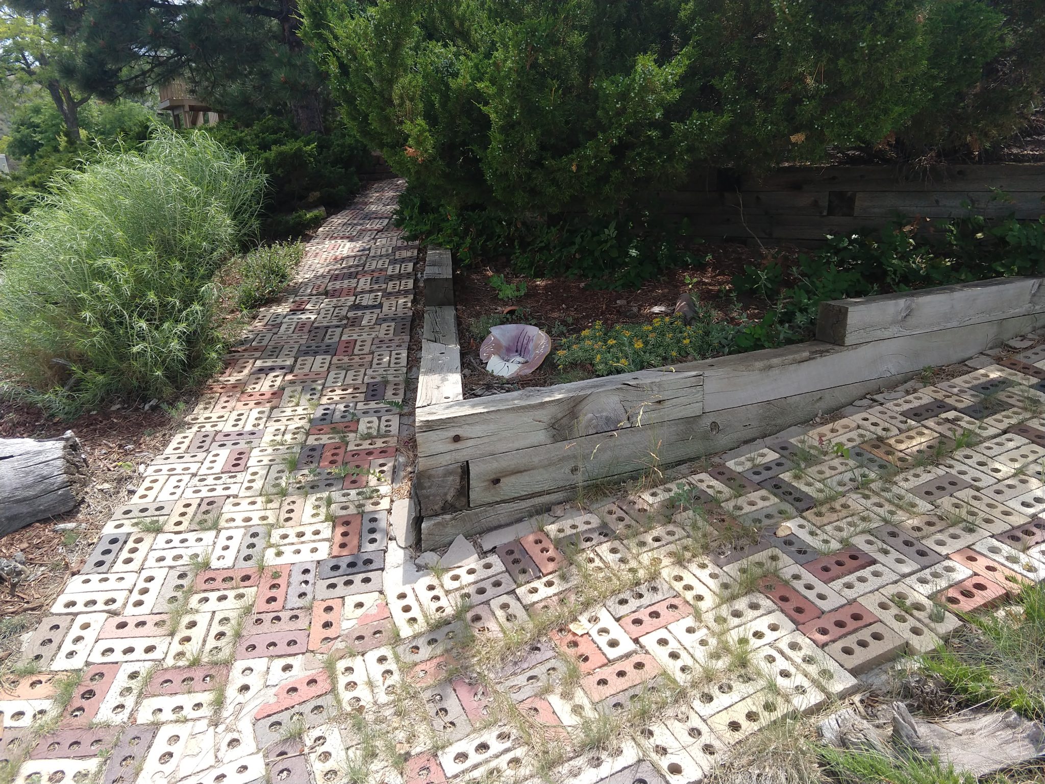
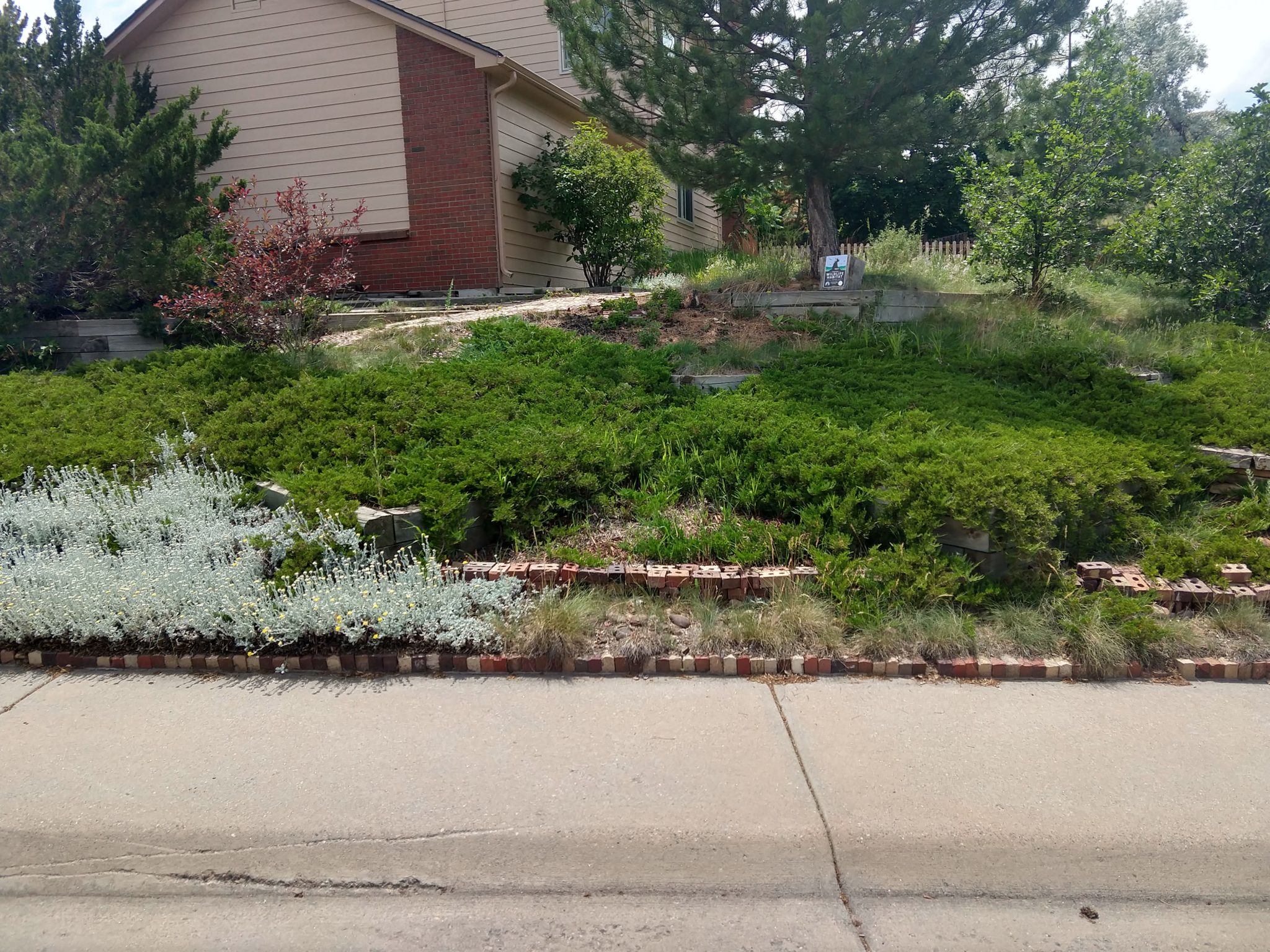
Here are the pics:

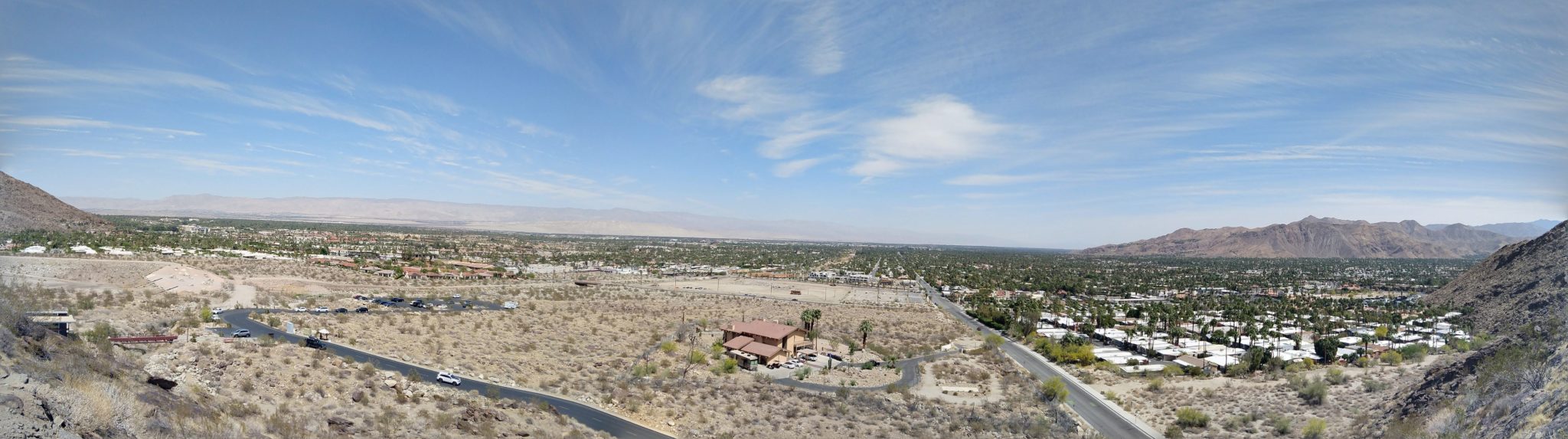
Here’s a Panorama created by Google:

Here’s the map

Categories: Denver | Leave a comment

Narrow Point Trail – North Access Trail – Green Mountain Trailhead – McIntyre Gulch

This was supposed to be a filler hike to get a small section of trail that I had missed when I had hiked in this area before. It turned into an over 9 mile hike and I didn’t finish the parts I set out to because there was a steep little hill that I looked at at just before the nine mile mark and said “Hell No!”. Then I started heading back.

It was very pretty and nothing like I expected. I was particularly surprised by the deer and obstacle course that was just sitting in the middle of nowhere.

Here are the stats:

  • Distance = 9.2 mi
  • Elevation Gain= 1,398 ft
  • Time = 3:07:25
  • Avg Speed = 2.9 mph
  • Min elevation = 5,428 ft

Here are the pics:

Here’s the map:

Categories: Denver | Leave a comment

Red Rocks Trail – Geologic Overlook Trail

This hike just felt like is was constantly going up, especially the endless staircase that is the Red Rocks Auditorium. I was surprised that there wasn’t much more elevation gain compared to my previous hike in Red Rocks. This is a good starter hike to get used to going up. Surprisingly there were a bunch of short extra trails that weren’t on any maps that I could find.

Here are the stats:

  • Distance = 6.37 mi
  • Elevation = 1,631 ft
  • Time = 2:47:58
  • Avg Speed = 2.3 mph
  • Min elevation = 5,975 ft

Here are the pics:

Here’s the map

Categories: Colorado, Denver, Uncategorized | Leave a comment

Mount Vernon Creek Trail – Trading Post Trail – Frog Rock Trail – Ship Rock to Amphitheatre – Will Call Trail

I know I’ve hiked Red Rocks before, but it wasn’t on my map of hikes, so I decided to go back in my attempt to get back into hiking shape for the year.

The trail was pretty, but it was also pretty busy as well. I had to go through it twice to get my six miles in. I think I prefer the area around Deer Creek Park instead.

Here are the stats:

  • Distance = 6.91 mi
  • Elevation = 1,230 ft
  • Time = 2:40:04
  • Avg Speed = 2.6 mph
  • Min elevation = 5,980 ft

Here are the pics:

Here’s Panorama made by Google Photos:

Here’s the map

Categories: Denver, Easy Hikes | Leave a comment

South Lykken Trail – Palm Springs

We spent a few months in Palm Springs over the 2020/2021 winter season and this trailhead was a block away from where we were staying, so I planned to finish it at least once. However, we could tell that its a very popular trail by the number of cars that parked near it every day, so I kept putting it off because of COVID and not knowing how wide the trail actually was.

We came back in April and I was vaccinated, so I decided to give it a shot. I chose the hottest part of the day to try and ensure that no-one was on the trail and that worked out pretty well. I only saw 10 other people and most of them were doing an evening hike.

This was supposed to be an 8-mile hike, but it turned out to be about 10-miles from trailhead to trailhead. It was a pretty difficult first real hike of the year, but I made it. It would be as bad if I was in any kind of shape.

Here are the stats:

  • Distance = 9.81 mi
  • Elevation = 2,346 ft
  • Time = 4:13:34
  • Avg Speed = 2.3 mph
  • Min elevation = 507 ft

Here are the pics:

Here’s the map

Categories: California | Leave a comment